|
|

SOUTH PLATTE RIVER NEAR KERSEY, CO
Tags: Adult,
CO,
Coleoptera,
Dineutus,
Gyrinidae, All tags...
Posterior,
Ventral,
Weld County,
beetles,
fully developed wings present,
imago,
modified shell-like forewings,
three pairs of jointed legs present, Fewer tags

SOUTH PLATTE RIVER NEAR KERSEY, CO
Tags: Adult,
CO,
Coleoptera,
Dorsal,
Hydrophilidae, All tags...
Posterior,
Tropisternus,
Weld County,
beetles,
fully developed wings present,
imago,
modified shell-like forewings,
three pairs of jointed legs present, Fewer tags

LONETREE CREEK NEAR GREELEY, CO.
Tags: Anterior,
CO,
Coleoptera,
Hydrophilidae,
Hydrophilus, All tags...
Larvae,
Ventral,
Weld County,
beetles,
fully developed wings absent,
immature,
wing pads absent, Fewer tags

LONETREE CREEK NEAR GREELEY, CO.
Tags: CO,
Coleoptera,
Dorsal,
Entire,
Hydrophilidae, All tags...
Larvae,
Tropisternus,
Weld County,
beetles,
fully developed wings absent,
immature,
wing pads absent, Fewer tags

LONETREE CREEK NEAR GREELEY, CO.
Tags: CO,
Diptera,
Larvae,
Posterior,
Syrphidae, All tags...
Ventral,
Weld County,
fleshy prolegs may be present on thorax and/ or abdomen,
immature,
jointed legs absent,
true flies,
wing pads absent,
wings absent, Fewer tags

SOUTH PLATTE NR LASALLE
Tags: CO,
Chironomidae,
Cladotanytarsus,
Diptera,
Larvae, All tags...
Posterior,
Ventral,
Weld County,
fleshy prolegs may be present on thorax and/ or abdomen,
immature,
jointed legs absent,
true flies,
wing pads absent,
wings absent, Fewer tags

SOUTH PLATTE NR LASALLE
Tags: Anterior,
CO,
Chironomidae,
Diptera,
Larvae, All tags...
Mentum,
Paratanytarsus,
Ventral,
Weld County,
fleshy prolegs may be present on thorax and/ or abdomen,
immature,
jointed legs absent,
true flies,
wing pads absent,
wings absent, Fewer tags

LONETREE CREEK AT CARR, CO.
Tags: Anterior,
CO,
Caenidae,
Caenis,
Ephemeroptera, All tags...
Larvae,
Ventral,
Weld County,
gills present on abdomen,
immature,
mayflies,
nymph,
tarsi with single claw,
three (sometimes two) tails present,
three pairs of jointed legs present,
wing pads may be present, Fewer tags

SOUTH PLATTE RIVER NEAR KERSEY, CO
Tags: Baetidae,
CO,
Dorsal,
Ephemeroptera,
Larvae, All tags...
Paracloeodes,
Ventral,
Weld County,
gills present on abdomen,
immature,
mayflies,
nymph,
tarsi with single claw,
three (sometimes two) tails present,
three pairs of jointed legs present,
wing pads may be present, Fewer tags

SOUTH PLATTE RIVER NEAR KERSEY, CO
Tags: Baetidae,
CO,
Ephemeroptera,
Larvae,
Paracloeodes, All tags...
Posterior,
Ventral,
Weld County,
gills present on abdomen,
immature,
mayflies,
nymph,
tarsi with single claw,
three (sometimes two) tails present,
three pairs of jointed legs present,
wing pads may be present, Fewer tags

SOUTH PLATTE RIVER NEAR KERSEY, CO
Tags: Anterior,
CO,
Ephemeroptera,
Heptagenia,
Heptageniidae, All tags...
Larvae,
Ventral,
Weld County,
gills present on abdomen,
immature,
mayflies,
nymph,
tarsi with single claw,
three (sometimes two) tails present,
three pairs of jointed legs present,
true,
wing pads may be present, Fewer tags

SOUTH PLATTE RIVER NEAR KERSEY, CO
Tags: Adult,
Anterior,
CO,
Corixidae,
Dorsal, All tags...
Hemiptera,
Trichocorixa,
Weld County,
fully developed wings present (may be lacking in some Gerridae),
imago,
piercing/ sucking beak present,
three pairs of jointed legs present,
true bugs, Fewer tags

LONETREE CREEK NEAR GREELEY, CO.
Tags: Adult,
Aquarius,
CO,
Entire,
Gerridae, All tags...
Hemiptera,
Ventral,
Weld County,
fully developed wings present (may be lacking in some Gerridae),
imago,
piercing/ sucking beak present,
three pairs of jointed legs present,
true,
true bugs, Fewer tags

SOUTH PLATTE RIVER NEAR KERSEY, CO
Tags: Adult,
CO,
Dorsal,
Entire,
Hemiptera, All tags...
Saldidae,
Saldula,
Weld County,
fully developed wings present (may be lacking in some Gerridae),
imago,
piercing/ sucking beak present,
three pairs of jointed legs present,
true,
true,
true bugs, Fewer tags

Meadow Springs off CR126
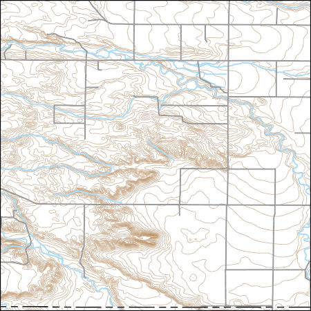
Layers of geospatial data include contours, boundaries, land cover, hydrography, roads, transportation, geographic names, structures, and other selected map features.
Tags: 7.5 x 7.5 minute,
7.5 x 7.5 minute,
CO,
Colorado,
Combined Vector, All tags...
Combined Vector,
Combined Vector,
Downloadable Data,
Laramie County,
Public Land Survey System,
Shapefile,
Shapefile,
US,
United States,
WY,
Weld County,
Wyoming,
boundary,
contours,
geographic names,
hydrography,
structures,
transportation,
woodland, Fewer tags
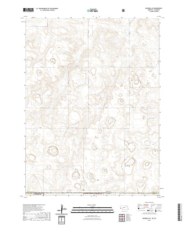
Layered geospatial PDF 7.5 Minute Quadrangle Map. Layers of geospatial data include orthoimagery, roads, grids, geographic names, elevation contours, hydrography, and other selected map features. This map is derived from GIS (geospatial information system) data. It represents a repackaging of GIS data in traditional map form, not creation of new information. The geospatial data in this map are from selected National Map data holdings and other government sources.
Tags: 7.5 x 7.5 minute,
Downloadable Data,
EarthCover,
Geospatial PDF,
Geospatial PDF, All tags...
Imagery and Base Maps,
Kimball County,
Map,
Nebraska,
Public Land Survey System,
U.S. National Grid,
US,
US Topo,
US Topo Current,
Weld County,
boundary,
contour,
geographic names,
hydrography,
imageryBaseMapsEarthCover,
orthoimage,
structures,
topographic,
transportation,
woodland, Fewer tags
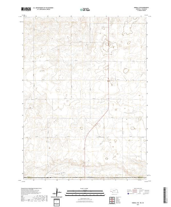
Layered geospatial PDF 7.5 Minute Quadrangle Map. Layers of geospatial data include orthoimagery, roads, grids, geographic names, elevation contours, hydrography, and other selected map features. This map is derived from GIS (geospatial information system) data. It represents a repackaging of GIS data in traditional map form, not creation of new information. The geospatial data in this map are from selected National Map data holdings and other government sources.
Tags: 7.5 x 7.5 minute,
Downloadable Data,
EarthCover,
Geospatial PDF,
Geospatial PDF, All tags...
Imagery and Base Maps,
Kimball County,
Map,
Nebraska,
Public Land Survey System,
U.S. National Grid,
US,
US Topo,
US Topo Current,
Weld County,
boundary,
contour,
geographic names,
hydrography,
imageryBaseMapsEarthCover,
orthoimage,
structures,
topographic,
transportation,
woodland, Fewer tags
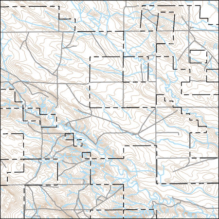
Layers of geospatial data include contours, boundaries, land cover, hydrography, roads, transportation, geographic names, structures, and other selected map features.
Types: Citation;
Tags: 7.5 x 7.5 minute,
7.5 x 7.5 minute,
CO,
Colorado,
Combined Vector, All tags...
Combined Vector,
Combined Vector,
Downloadable Data,
Public Land Survey System,
Shapefile,
Shapefile,
US,
United States,
Weld County,
boundary,
contours,
geographic names,
hydrography,
structures,
transportation,
woodland, Fewer tags
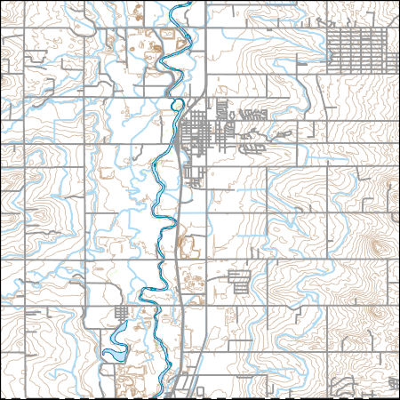
Layers of geospatial data include contours, boundaries, land cover, hydrography, roads, transportation, geographic names, structures, and other selected map features.
Types: Citation;
Tags: 7.5 x 7.5 minute,
7.5 x 7.5 minute,
Adams County,
CO,
Colorado, All tags...
Combined Vector,
Combined Vector,
Combined Vector,
Downloadable Data,
FileGDB 10.1,
FileGDB 10.1,
Public Land Survey System,
US,
United States,
Weld County,
boundary,
contours,
geographic names,
hydrography,
structures,
transportation,
woodland, Fewer tags
|
|


