Filters: Tags: West Virginia (X) > Date Range: {"choice":"month"} (X)
16 results (2.3s)|
Filters
Date Types (for Date Range)
Types (Less)
Contacts (Less)
Categories (Less) Tag Types
|
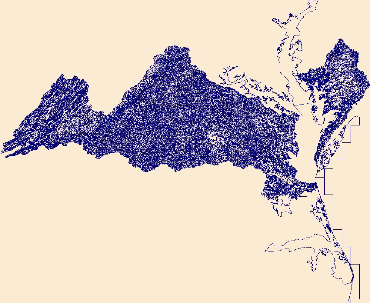
This data release contains three 10-meter resolution GeoTIFFs representing 10-meter (35-foot), 30-meter (100-foot) and 90-meter (300-foot) riparian buffer zones along shorelines, rivers, streams, and other lotic (flowing) water features. The layers are binary, where the value of each cell represents the presence or absence of the buffer zone. In addition, the data release contains shapefile layers that document the extent of corrections that were made to the data to address errors in the stream network (see processing steps section for more details). The methodology combines various fine-scale input layers, including a 1:24k stream network and Chesapeake Bay 1-meter resolution Land Use/Land Cover to approximate...
Types: Map Service,
OGC WFS Layer,
OGC WMS Layer,
OGC WMS Service;
Tags: Chesapeake,
Delaware,
District of Columbia,
Ecology,
Forestry,

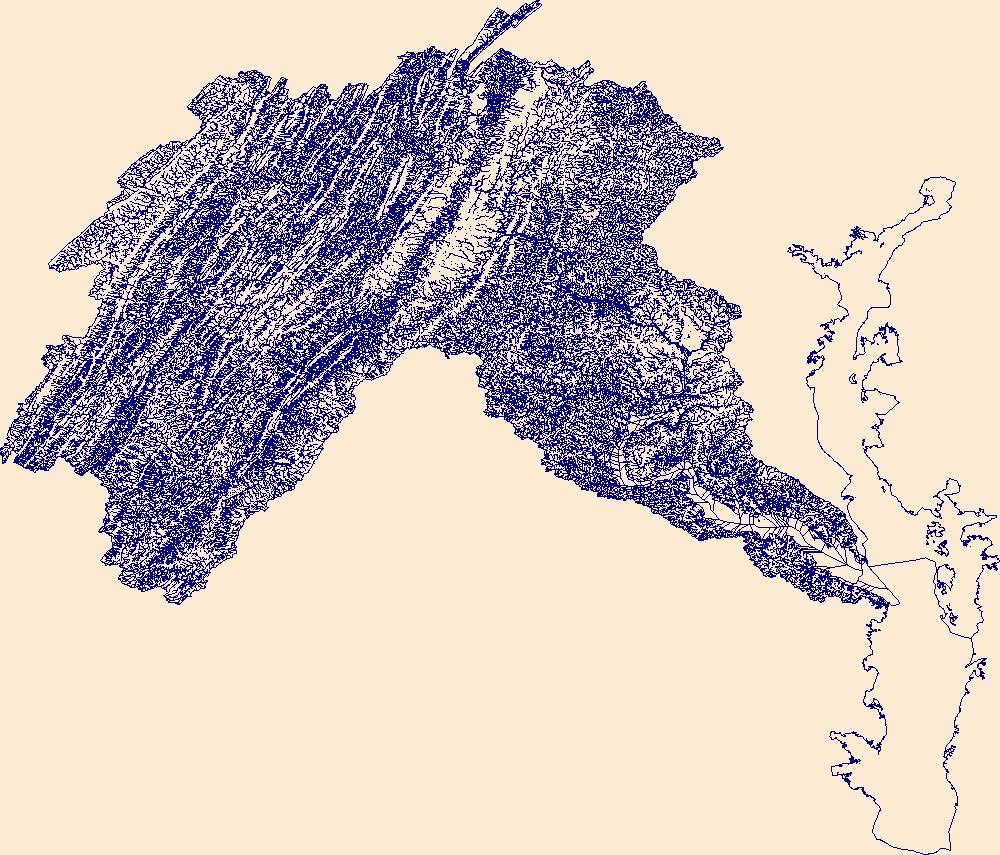
The High Resolution National Hydrography Dataset Plus (NHDPlus HR) is an integrated set of geospatial data layers, including the National Hydrography Dataset (NHD), National Watershed Boundary Dataset (WBD), and 3D Elevation Program Digital Elevation Model (3DEP DEM). The NHDPlus HR combines the NHD, 3DEP DEMs, and WBD to a data suite that includes the NHD stream network with linear referencing functionality, the WBD hydrologic units, elevation-derived catchment areas for each stream segment, "value added attributes" (VAAs), and other features that enhance hydrologic data analysis and routing.
Note: this data release is currently being revised and is temporarily unavailable. This data release is a compilation of the locations of airborne geophysical surveys in the United States. The inventory documents public airborne geophysical surveys primarily flown by or contracted by the USGS from 1943 to present. In addition, surveys from the State of Alaska, Department of Natural Resources, Division of Geological and Geophysical Surveys (DGGS): Airborne GeophysWeb, the Bureau of Land Management, the Department of Energy and other state agencies have also been included. The surveys have contributed to studies under USGS programs including Water, Geologic Mapping, Minerals, Energy, Environmental Health, Ecosystems,...
Categories: Data,
Data Release - Under Revision;
Types: ArcGIS REST Map Service,
ArcGIS Service Definition,
Downloadable,
Map Service;
Tags: Alabama,
Alaska,
Arizona,
Arkansas,
California,

The High Resolution National Hydrography Dataset Plus (NHDPlus HR) is an integrated set of geospatial data layers, including the National Hydrography Dataset (NHD), National Watershed Boundary Dataset (WBD), and 3D Elevation Program Digital Elevation Model (3DEP DEM). The NHDPlus HR combines the NHD, 3DEP DEMs, and WBD to a data suite that includes the NHD stream network with linear referencing functionality, the WBD hydrologic units, elevation-derived catchment areas for each stream segment, "value added attributes" (VAAs), and other features that enhance hydrologic data analysis and routing.
The geochemical data included here were generated as part of the Earth Mapping Resources Initiative (Earth MRI), which was developed by the U.S. Geological Survey (USGS) in response to a Federal directive calling on various Federal agencies to address potential vulnerabilities in the Nation’s supply of critical mineral resources. Earth MRI is a partnership between the USGS, State Geological Surveys, and industry coordinating with other federal agencies to accomplish the mission. The primary purpose of this initiative is to identify potentially mineralized areas containing critical minerals by gathering new basic geologic data about the United States and its territories and to make these data publicly available through...
Categories: Data,
Data Release - Revised;
Types: Downloadable,
Map Service,
OGC WFS Layer,
OGC WMS Layer,
OGC WMS Service,
Shapefile;
Tags: Alabama,
Alaska,
Alaska Division of Geological & Geophysical Surveys,
Arizona,
Arizona Geological Survey,
This service definition contains landscape factors representing human disturbances summarized to local and network catchments of river reaches for the state of Arizona. This dataset is the result of clipping the feature class 'NFHAP 2010 HCI Scores and Human Disturbance Data for the Conterminous United States linked to NHDPLUSV1.gdb' to the state boundary of Arizona. Landscape factors include land uses, population density, roads, dams, mines, and point-source pollution sites. The source datasets that were compiled and attributed to catchments were identified as being: (1) meaningful for assessing fish habitat; (2) consistent across the entire study area in the way that they were assembled; (3) representative of...
Categories: Data;
Types: ArcGIS REST Map Service,
ArcGIS Service Definition,
Downloadable,
Map Service;
Tags: Anthropogenic factors,
Anthropogenic factors,
Aquatic habitats,
Aquatic habitats,
Atlantic Coast FHP,
This service definition contains landscape factors representing human disturbances summarized to local and network catchments of river reaches for the state of Connecticut. This dataset is the result of clipping the feature class 'NFHAP 2010 HCI Scores and Human Disturbance Data for the Conterminous United States linked to NHDPLUSV1.gdb' to the state boundary of Connecticut. Landscape factors include land uses, population density, roads, dams, mines, and point-source pollution sites. The source datasets that were compiled and attributed to catchments were identified as being: (1) meaningful for assessing fish habitat; (2) consistent across the entire study area in the way that they were assembled; (3) representative...
Categories: Data;
Types: ArcGIS REST Map Service,
ArcGIS Service Definition,
Downloadable,
Map Service;
Tags: Anthropogenic factors,
Aquatic habitats,
Atlantic Coast FHP,
Catchment areas,
Connecticut,
This map layer contains the shallowest principal aquifers of the conterminous United States, Hawaii, Puerto Rico, and the U.S. Virgin Islands, portrayed as polygons. The map layer was developed as part of the effort to produce the maps published at 1:2,500,000 in the printed series "Ground Water Atlas of the United States". The published maps contain base and cultural features not included in these data. This is a replacement for the July 1998 map layer called Principal Aquifers of the 48 Conterminous United States.
This imagery dataset consists of 3-meter resolution, lidar-derived imagery of the Lewisburg 30 x 60 minute quadrangle in Virginia and West Virginia. The source data used to construct this imagery consists of 1-meter resolution lidar-derived digital elevation models (DEMs). The lidar source data were compiled from different acquisitions published between 2020 and 2021. The data were processed using geographic information systems (GIS) software. The data is projected in WGS 1984 Web Mercator. This representation illustrates the terrain as a hillshade with contrast adjusted to highlight local relief according to a topographic position index (TPI) calculation.
Categories: Data;
Types: Downloadable,
GeoTIFF,
Map Service,
OGC WFS Layer,
OGC WMS Layer,
OGC WMS Service,
Raster;
Tags: Geography,
Geomorphology,
Land Use Change,
Lidar,
Mineral Resources,
Problem - Increasing development within the Shenandoah Valley in recent years has placed additional demands on the region’s water resources. The sedimentary rocks in the Valley have been compressed and folded by tectonic forces to form a 5-km deep basin. Ground water, a principal component of the available water supply, flows through fractures in the sedimentary and crystalline rocks that underlie the Valley. Bedding fractures in the rocks are angled downward along the dip of the folds, allowing ground water to penetrate deeply below land surface—fresh water is obtained from wells over 800 ft deep in the Valley. Objectives - Develop a ground-water-flow model to simulate movement of ground water and estimate the...
Categories: Data,
Project;
Types: Downloadable,
Map Service,
OGC WFS Layer,
OGC WMS Layer,
Shapefile;
Tags: Completed,
GW Model,
GW Model,
GW model,
Groundwater Resources Program,
This data release contains summary metrics describing stream stage, stream water temperature, and short-term climate conditions (daily precipitation and air temperature) for 30 streams spanning gradients of forest and pasture land uses and agricultural best management practice implementation in the Shenandoah Valley region of Virginia and West Virginia, USA. This setting is the first of four settings or "typologies" that will be assessed for the USGS Chesapeake Stream Team project. High-frequency stage and water temperature (5-minute data), and air temperature (30-minute data) were measured by the U.S. Geological Survey (USGS) from May 2021 to December 2021 and are available on the USGS National Water Information...
Categories: Data;
Tags: Aquatic Biology,
Chesapeake Bay watershed,
Ecology,
Hydrology,
Land Use Change,
This service definition contains landscape factors representing human disturbances summarized to local and network catchments of river reaches for the state of Colorado. This dataset is the result of clipping the feature class 'NFHAP 2010 HCI Scores and Human Disturbance Data for the Conterminous United States linked to NHDPLUSV1.gdb' to the state boundary of Colorado. Landscape factors include land uses, population density, roads, dams, mines, and point-source pollution sites. The source datasets that were compiled and attributed to catchments were identified as being: (1) meaningful for assessing fish habitat; (2) consistent across the entire study area in the way that they were assembled; (3) representative of...
Categories: Data;
Types: ArcGIS REST Map Service,
ArcGIS Service Definition,
Downloadable,
Map Service;
Tags: Anthropogenic factors,
Aquatic habitats,
Atlantic Coast FHP,
Catchment areas,
Connecticut,
This service definition contains landscape factors representing human disturbances summarized to local and network catchments of river reaches for the state of Arkansas. This dataset is the result of clipping the feature class 'NFHAP 2010 HCI Scores and Human Disturbance Data for the Conterminous United States linked to NHDPLUSV1.gdb' to the state boundary of Arkansas. Landscape factors include land uses, population density, roads, dams, mines, and point-source pollution sites. The source datasets that were compiled and attributed to catchments were identified as being: (1) meaningful for assessing fish habitat; (2) consistent across the entire study area in the way that they were assembled; (3) representative of...
Categories: Data;
Types: ArcGIS REST Map Service,
ArcGIS Service Definition,
Downloadable,
Map Service;
Tags: Anthropogenic factors,
Anthropogenic factors,
Aquatic habitats,
Aquatic habitats,
Atlantic Coast FHP,
From 20 May - 8 June 2021, a Virginia Tech team of 2-3 sampled the macroinvertebrate community in 30 Shenandoah Valley streams (Virginia and West Virginia, USA) as part of a larger stream-health study including other teams who surveyed geomorphology, water quality, flow, temperature,fish community, and fish health at the same 30 streams. The macroinvertebrate community team also characterized the habitat units sampled for macroinvertebrates. At each stream, we sampled macroinvertebrates in two ways:1) in each stream we took 5 slack samples in riffles according to NAWQA protocol, and 2) we selected the most available and productive habitat where we used the Slack sampler to collect 5 additional samples in wood debris...
This imagery dataset consists of 3-meter resolution, lidar-derived imagery of the Cumberland 30 x 60 minute quadrangle in Pennsylvania, West Virginia and Maryland. The source data used to construct this imagery consists of 1-meter lidar-derived digital elevation models (DEMs). The lidar source data were compiled from different acquisitions published between 2019 and 2023. The data were processed using geographic information systems (GIS) software. The data is projected in WGS 1984. This representation illustrates the terrain as a hillshade with contrast adjusted to highlight local relief according to a topographic position index (TPI) calculation.
Categories: Data;
Types: Downloadable,
GeoTIFF,
Map Service,
OGC WFS Layer,
OGC WMS Layer,
OGC WMS Service,
Raster;
Tags: Economic Geology,
Geography,
Geomorphology,
Land Use Change,
Lidar,
This service definition contains landscape factors representing human disturbances summarized to local and network catchments of river reaches for the state of Delaware. This dataset is the result of clipping the feature class 'NFHAP 2010 HCI Scores and Human Disturbance Data for the Conterminous United States linked to NHDPLUSV1.gdb' to the state boundary of Delaware. Landscape factors include land uses, population density, roads, dams, mines, and point-source pollution sites. The source datasets that were compiled and attributed to catchments were identified as being: (1) meaningful for assessing fish habitat; (2) consistent across the entire study area in the way that they were assembled; (3) representative of...
Categories: Data;
Types: ArcGIS REST Map Service,
ArcGIS Service Definition,
Downloadable,
Map Service;
Tags: Anthropogenic factors,
Aquatic habitats,
Atlantic Coast FHP,
Catchment areas,
Connecticut,
|

|