Filters: Tags: White Pine County (X) > Date Range: {"choice":"year"} (X)
24 results (80ms)|
Filters
Date Types (for Date Range)
Categories Tag Types Tag Schemes |
These data were released prior to the October 1, 2016 effective date for the USGS’s policy dictating the review, approval, and release of scientific data as referenced in USGS Survey Manual Chapter 502.8 Fundamental Science Practices: Review and Approval of Scientific Data for Release. Polygons delineate generalized areas in and around Great Basin National Park where surface-water resources likely or potentially are susceptible to groundwater withdrawals in adjacent valleys.
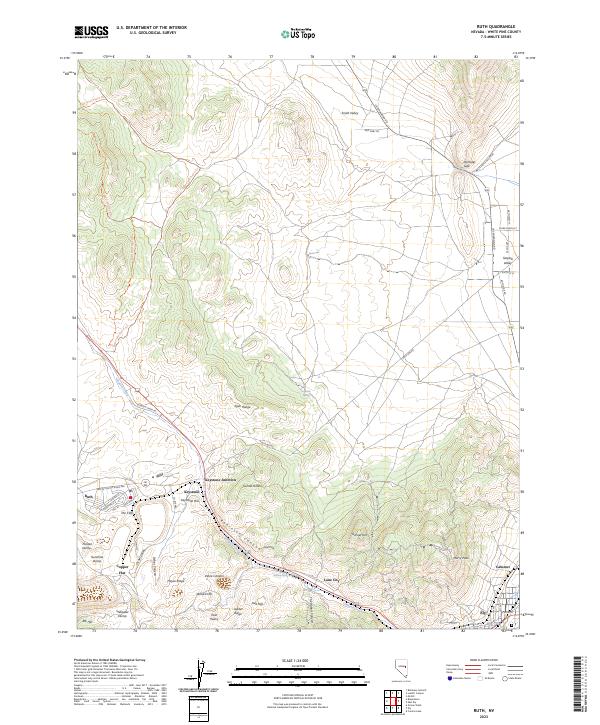
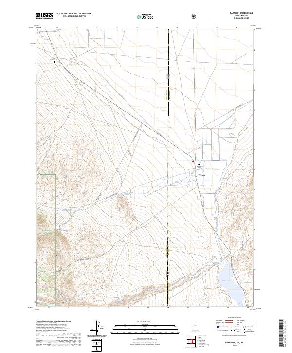
Layered geospatial PDF 7.5 Minute Quadrangle Map. Layers of geospatial data include orthoimagery, roads, grids, geographic names, elevation contours, hydrography, and other selected map features. This map is derived from GIS (geospatial information system) data. It represents a repackaging of GIS data in traditional map form, not creation of new information. The geospatial data in this map are from selected National Map data holdings and other government sources.
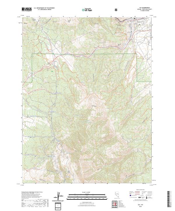
Layered geospatial PDF 7.5 Minute Quadrangle Map. Layers of geospatial data include orthoimagery, roads, grids, geographic names, elevation contours, hydrography, and other selected map features. This map is derived from GIS (geospatial information system) data. It represents a repackaging of GIS data in traditional map form, not creation of new information. The geospatial data in this map are from selected National Map data holdings and other government sources.
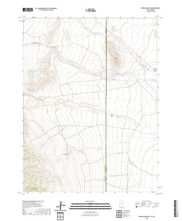
Layered geospatial PDF 7.5 Minute Quadrangle Map. Layers of geospatial data include orthoimagery, roads, grids, geographic names, elevation contours, hydrography, and other selected map features. This map is derived from GIS (geospatial information system) data. It represents a repackaging of GIS data in traditional map form, not creation of new information. The geospatial data in this map are from selected National Map data holdings and other government sources.

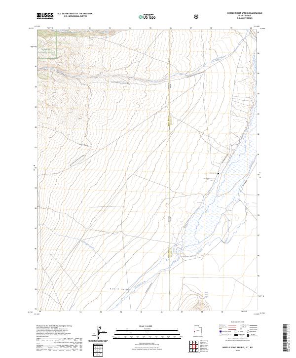
Layered geospatial PDF 7.5 Minute Quadrangle Map. Layers of geospatial data include orthoimagery, roads, grids, geographic names, elevation contours, hydrography, and other selected map features. This map is derived from GIS (geospatial information system) data. It represents a repackaging of GIS data in traditional map form, not creation of new information. The geospatial data in this map are from selected National Map data holdings and other government sources.

The High Resolution National Hydrography Dataset Plus (NHDPlus HR) is an integrated set of geospatial data layers, including the National Hydrography Dataset (NHD), National Watershed Boundary Dataset (WBD), and 3D Elevation Program Digital Elevation Model (3DEP DEM). The NHDPlus HR combines the NHD, 3DEP DEMs, and WBD to a data suite that includes the NHD stream network with linear referencing functionality, the WBD hydrologic units, elevation-derived catchment areas for each stream segment, "value added attributes" (VAAs), and other features that enhance hydrologic data analysis and routing.

The High Resolution National Hydrography Dataset Plus (NHDPlus HR) is an integrated set of geospatial data layers, including the National Hydrography Dataset (NHD), National Watershed Boundary Dataset (WBD), and 3D Elevation Program Digital Elevation Model (3DEP DEM). The NHDPlus HR combines the NHD, 3DEP DEMs, and WBD to a data suite that includes the NHD stream network with linear referencing functionality, the WBD hydrologic units, elevation-derived catchment areas for each stream segment, "value added attributes" (VAAs), and other features that enhance hydrologic data analysis and routing.
This U.S. Geological Survey (USGS) data release consists of data from two tracer investigations in the Snake Creek drainage of Great Basin National Park, White Pine County, Nevada. The first investigation, occurring from April to September 2019, involved injecting a fluorescein dye tracer below a diversion point in Snake Creek and monitoring 13 sites in the Snake Creek and neighboring Big Wash drainages for presence of the dye. The results of the first investigation were used to select a targeted monitoring location for a second, quantitative investigation. The second investigation, occurring from September 2020 to March 2021, involved injecting two tracers, sodium bromide and fluorescein dye, below the same diversion...
Layered geospatial PDF 7.5 Minute Quadrangle Map. Layers of geospatial data include orthoimagery, roads, grids, geographic names, elevation contours, hydrography, and other selected map features. This map is derived from GIS (geospatial information system) data. It represents a repackaging of GIS data in traditional map form, not creation of new information. The geospatial data in this map are from selected National Map data holdings and other government sources.
Layered geospatial PDF 7.5 Minute Quadrangle Map. Layers of geospatial data include orthoimagery, roads, grids, geographic names, elevation contours, hydrography, and other selected map features. This map is derived from GIS (geospatial information system) data. It represents a repackaging of GIS data in traditional map form, not creation of new information. The geospatial data in this map are from selected National Map data holdings and other government sources.

A previously developed three-dimensional steady-state numerical groundwater-flow model was modified to transient conditions with respect to well withdrawals, and used to simulate drawdown and capture of natural discharge from existing and proposed groundwater withdrawals in Snake Valley and adjacent areas in western Utah and eastern Nevada. The original steady-state model simulates and was calibrated to 2009 conditions and was used as the first stress period in this transient model. Six transient stress periods, spanning 2010-2114, were added to the model to assess timing of the potential withdrawal effects. A seventh steady-state stress period was also added to determine the ultimate long-term effects of the well...
Layered geospatial PDF 7.5 Minute Quadrangle Map. Layers of geospatial data include orthoimagery, roads, grids, geographic names, elevation contours, hydrography, and other selected map features. This map is derived from GIS (geospatial information system) data. It represents a repackaging of GIS data in traditional map form, not creation of new information. The geospatial data in this map are from selected National Map data holdings and other government sources.
These data were released prior to the October 1, 2016 effective date for the USGS’s policy dictating the review, approval, and release of scientific data as referenced in USGS Survey Manual Chapter 502.8 Fundamental Science Practices: Review and Approval of Scientific Data for Release. Accurate delineations of irrigated acreage are needed for the development of water-use estimates and in determining water-budget calculations for the Basin and Range carbonate-rock aquifer system (BARCAS) study. ISatellite imagery from the Landsat Thematic Mapper and Enhanced Thematic Mapper platforms were used to delineate irrigated acreage on a field-by-field basis for the entire study area. Six hundred and forty-three fields were...
Categories: pre-SM502.8;
Tags: Basin and Range,
Basin and Range carbonate-rock aquifer study,
Butte Valley,
Cave Valley,
Jakes Valley,
Layered geospatial PDF 7.5 Minute Quadrangle Map. Layers of geospatial data include orthoimagery, roads, grids, geographic names, elevation contours, hydrography, and other selected map features. This map is derived from GIS (geospatial information system) data. It represents a repackaging of GIS data in traditional map form, not creation of new information. The geospatial data in this map are from selected National Map data holdings and other government sources.

The High Resolution National Hydrography Dataset Plus (NHDPlus HR) is an integrated set of geospatial data layers, including the National Hydrography Dataset (NHD), National Watershed Boundary Dataset (WBD), and 3D Elevation Program Digital Elevation Model (3DEP DEM). The NHDPlus HR combines the NHD, 3DEP DEMs, and WBD to a data suite that includes the NHD stream network with linear referencing functionality, the WBD hydrologic units, elevation-derived catchment areas for each stream segment, "value added attributes" (VAAs), and other features that enhance hydrologic data analysis and routing.
Layered geospatial PDF 7.5 Minute Quadrangle Map. Layers of geospatial data include orthoimagery, roads, grids, geographic names, elevation contours, hydrography, and other selected map features. This map is derived from GIS (geospatial information system) data. It represents a repackaging of GIS data in traditional map form, not creation of new information. The geospatial data in this map are from selected National Map data holdings and other government sources.

A new version of previously published steady-state numerical groundwater flow models of the Great Basin carbonate and alluvial aquifer system (GBCAAS), and was developed in conjunction with U.S. Geological Survey (USGS) studies in Parowan, Pine, and Wah Wah Valleys, Utah. This version of the model is considered to be GBCAAS v. 3.0 and supersedes previous versions. This model added 15 transient calibration stress periods and 14 projection stress periods, aquifer storage properties, historical withdrawals in Parowan Valley, and observations of water-level changes in Parowan Valley to the previous steady-state versions. Recharge in Parowan Valley and withdrawal from wells in Parowan Valley and two nearby wells in Cedar...
These data were released prior to the October 1, 2016 effective date for the USGS’s policy dictating the review, approval, and release of scientific data as referenced in USGS Survey Manual Chapter 502.8 Fundamental Science Practices: Review and Approval of Scientific Data for Release. This data set consists of sub delineations of the hydrographic area (HA) boundaries and polygons drawn at 1:1,000,000 scale for the Great Basin supplemented by information from HA drawn at 1:750,000 scale where necessary. See the process steps for more information.
Categories: pre-SM502.8;
Tags: Basin and Range,
Butte Valley,
Cave Valley,
Great Basin,
Hydrographic Area,

These data were released prior to the October 1, 2016 effective date for the USGS’s policy dictating the review, approval, and release of scientific data as referenced in USGS Survey Manual Chapter 502.8 Fundamental Science Practices: Review and Approval of Scientific Data for Release. Water-level measurements from 190 wells were used to develop a potentiometric-surface map of the east-central portion of the regional Great Basin carbonate and alluvial aquifer system in and around Snake Valley, eastern Nevada and western Utah. The map area covers approximately 9,000 square miles in Juab, Millard, and Beaver Counties, Utah, and White Pine and Lincoln Counties, Nevada. Recent (2007-2010) drilling by the Utah Geological...
Categories: pre-SM502.8;
Tags: Beaver County,
Great Basin,
Groundwater,
Juab County,
Lincoln County,

A previously developed numerical groundwater flow model of the eastern Great Basin was used to investigate where potential drawdown and capture of natural discharge is likely to result from potential groundwater withdrawals from existing and applied for groundwater rights in Snake Valley, Utah and Nevada. SIR 2014-5213 (https://doi.org/10.3133/sir20145213), SIR 2017–5011 (https://doi.org/10.3133/sir20175011), and SIR 2017-5072 (https://doi.org/10.3133/sir20175072) document the construction and calibration of the previous versions of this model. The eastern Great Basin model consists of a parent model and a child model. The parent model covers the focus study area and was used for the simulations presented in this...
|

|
