Filters: Tags: Will County (X) > Date Range: {"choice":"year"} (X)
9 results (32ms)|
Filters
Date Types (for Date Range)
Contacts
Tag Types Tag Schemes |
The bathymetric data set was collected in Rock Run on Dec. 10, 2015 by USGS ILWSC staff Clayton Bosch and Louis Pappas. The bathymetric data were collected with an RD Instruments 1200 kHz ADCP (S/N 8617) and Trimble Ag 162 GPS mounted on the M/V La Moine. A temporary reference point (TRP) was established on the north side of the footbridge over the connecting channel to the Des Plaines River. The mean water surface elevation (504.97 feet, WGS 84) during the survey was established from a temporary reference point whose elevation was later established by GPS survey. The measured depths were then converted to a lake bed elevation. The location and depth data were compiled into a bathymetry dataset (Rock Run Bathymetry...
Water temperature (degrees Celsius) and specific conductance (microsiemens per centimeter at 25 degrees Celsius; TC) were measured at U.S. Geological Survey streamgage 05536995, located at Chicago Sanitary and Ship Canal near the Electrical Dispersal Barrier System in Romeoville, Illinois. The TC data were measured every five minutes at four gage height levels above the gage datum (P1 = 21 feet, P2 = 17 feet, P3 = 13 feet, P4 = 9 feet). The gage datum is 551.76 feet above the North American Vertical Datum of 1988 (NAVD 88). Daily mean and five-minute water temperature and specific conductance data were downloaded from the National Water Information System (NWIS) database and stored in Comma Separated Values (CSV)...
This dataset contains a summary of the characteristics of near-surface flow reversals at the Electrical Dispersal Barrier System (EDBS) on the Chicago Sanitary and Ship Canal at Romeoville, Illinois during Water Year 2018 (October 1, 2017, to September 30, 2018). Water velocity near the water surface is measured on a five-minute sampling interval in the EDBS using surface velocity radar at nine measurement cells on a cross section near U.S. Geological Survey streamgage 05536995 (Chicago Sanitary and Ship Canal at Romeoville, Illinois). Flow reversal events are analyzed for each individual cell as well as for the average velocity over all nine cells. For the analysis of individual cells, a flow reversal event is...
A motion-activated video camera documented the passage of commercial tows through the Electric Dispersal Barrier System (EDBS) on the Chicago Sanitary and Ship Canal at Romeoville, Illinois, over the period October 1, 2017, to September 30, 2018. Videos were manually screened and analyzed to extract tow characteristics including: date and time of video recording, number and configuration of barges, loading of barges (loaded, unloaded, or mixed), direction of travel, and bow type (rake or box). Only commercial vessels were logged and no identifying data about the tow vessels were maintained. All videos triggered by recreational vessels or other objects were permanently removed from the database during analysis. Any...
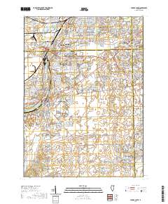
Layered geospatial PDF 7.5 Minute Quadrangle Map. Layers of geospatial data include orthoimagery, roads, grids, geographic names, elevation contours, hydrography, and other selected map features. This map is derived from GIS (geospatial information system) data. It represents a repackaging of GIS data in traditional map form, not creation of new information. The geospatial data in this map are from selected National Map data holdings and other government sources.
The U.S. Geological Survey (USGS) monitors water surface flow reversals, commercial vessel traffic, and temperature and specific conductance in the U.S. Army Corps of Engineers Electric Dispersal Barrier System (EDBS) on the Chicago Sanitary and Ship Canal, Chicago, Illinois. These data are planned to be released on USGS ScienceBase annually. This data release is the summary of all the data collected during water year 2020 (October 1, 2019, to September 30, 2020). Bera and others (2020) describe all the data collected during October 1, 2018, to September 30, 2019. Water surface flow reversals at the EDBS are monitored using surface velocity radar. Commercial vessel traffic patterns through the EDBS are documented...
The U.S. Geological Survey monitors water surface flow reversals, commercial vessel traffic, and temperature and specific conductance in the U.S. Army Corps of Engineers Electric Dispersal Barrier System, EDBS, on the Chicago Sanitary and Ship Canal, Chicago, Illinois. This data release is the 2018 water year summary of the EDBS monitoring data. Water surface flow reversals at the EDBS are monitored using surface velocity radar. Commercial vessel traffic patterns through the EDBS are documented using a motion-activated video camera. Temperature and specific conductance are reported in near real-time from USGS sensors installed just downstream of the EDBS.
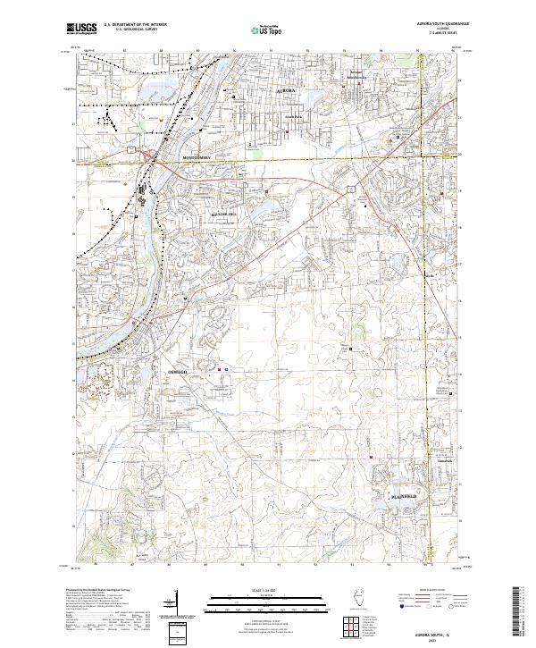
Layered geospatial PDF 7.5 Minute Quadrangle Map. Layers of geospatial data include orthoimagery, roads, grids, geographic names, elevation contours, hydrography, and other selected map features. This map is derived from GIS (geospatial information system) data. It represents a repackaging of GIS data in traditional map form, not creation of new information. The geospatial data in this map are from selected National Map data holdings and other government sources.
This data release has been deprecated. For the updated data release, please visit: https://doi.org/10.5066/P9SSILDS. The U.S. Geological Survey monitors water surface flow reversals, commercial vessel traffic, and temperature and specific conductance in the U.S. Army Corps of Engineers Electric Dispersal Barrier System (EDBS) on the Chicago Sanitary and Ship Canal, Chicago, Illinois. This data release is the 2018 water year summary of the EDBS monitoring data. Water surface flow reversals at the EDBS are monitored using surface velocity radar. Commercial vessel traffic patterns through the EDBS are documented using a motion-activated video camera. Temperature and specific conductance are reported in near real-time...
|

|
