Filters: Tags: Wilson County (X) > Date Range: {"choice":"year"} (X)
6 results (9ms)|
Filters
Date Types (for Date Range)
Tag Types Tag Schemes |

A MODFLOW-NWT groundwater/surface-water model was developed to evaluate the responses of low-flow conditions and groundwater levels within the lower San Antonio River Basin, Texas, USA under conditions of reduced recharge and increased groundwater withdrawals. There was concern that decreased recharge and increased groundwater withdrawals may adversely affect streamflow and groundwater levels. History-matching was carried out for the historical conditions of 2006-2013 using highly parameterized inversion with PEST++ which produced a maximum a posteriori model parameter set which formed the central tendency of a posterior parameter ensemble using FOSM- based Monte Carlo uncertainty analysis. The ensembles were also...
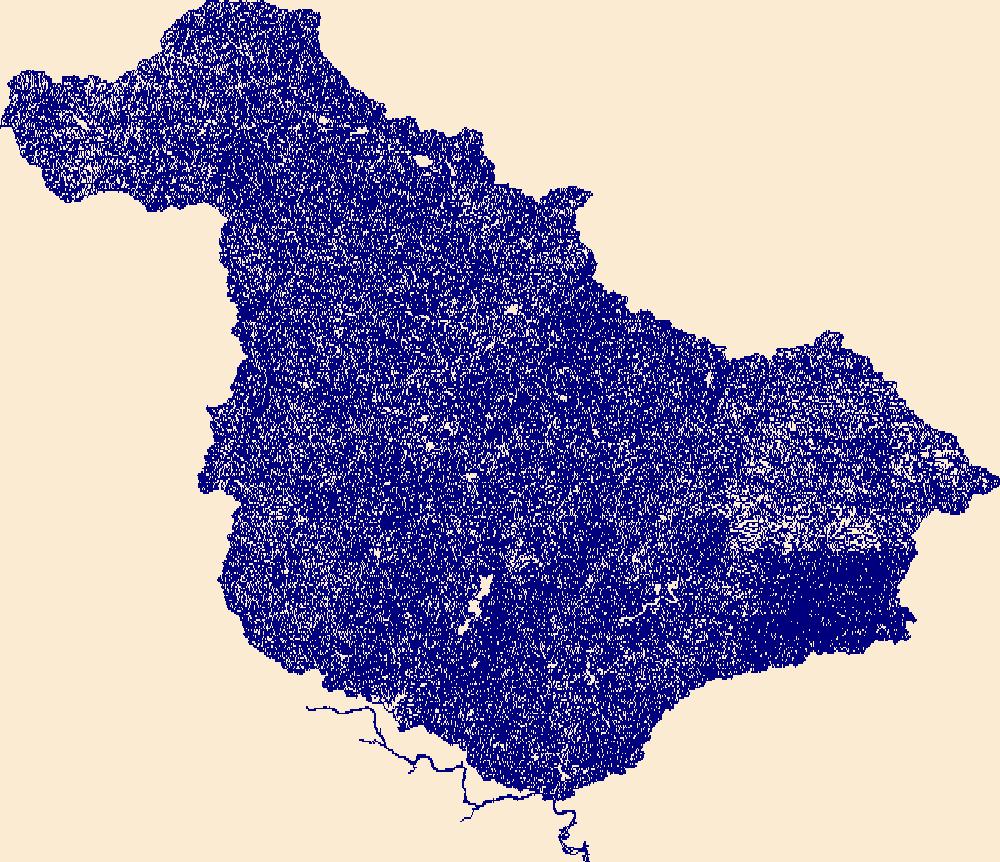
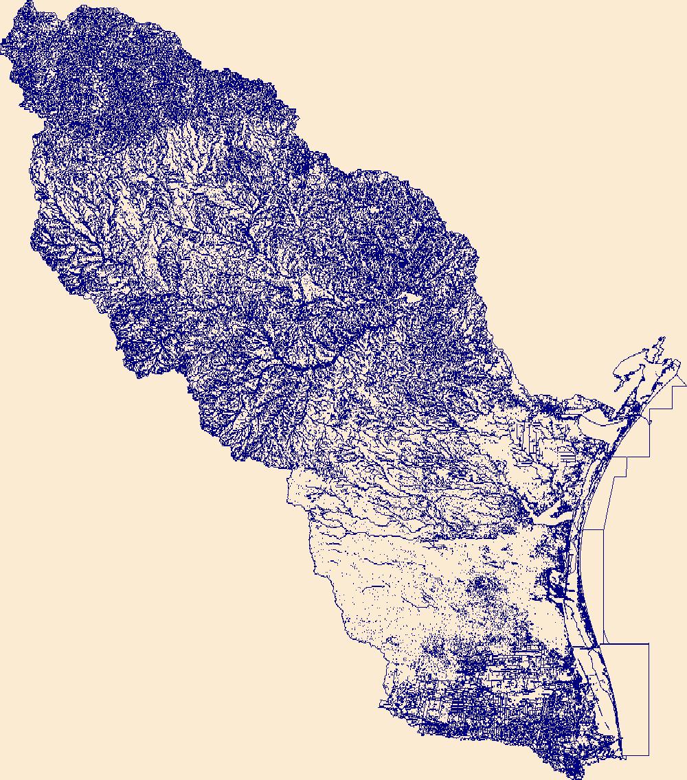
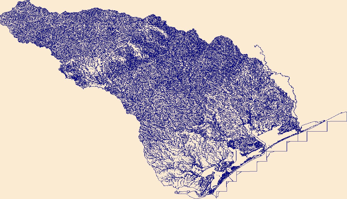
The High Resolution National Hydrography Dataset Plus (NHDPlus HR) is an integrated set of geospatial data layers, including the best available National Hydrography Dataset (NHD), the 10-meter 3D Elevation Program Digital Elevation Model (3DEP DEM), and the National Watershed Boundary Dataset (WBD). The NHDPlus HR combines the NHD, 3DEP DEMs, and WBD to create a stream network with linear referencing, feature naming, "value added attributes" (VAAs), elevation-derived catchments, and other features for hydrologic data analysis. The stream network with linear referencing is a system of data relationships applied to hydrographic systems so that one stream reach "flows" into another and "events" can be tied to and traced...

The High Resolution National Hydrography Dataset Plus (NHDPlus HR) is an integrated set of geospatial data layers, including the best available National Hydrography Dataset (NHD), the 10-meter 3D Elevation Program Digital Elevation Model (3DEP DEM), and the National Watershed Boundary Dataset (WBD). The NHDPlus HR combines the NHD, 3DEP DEMs, and WBD to create a stream network with linear referencing, feature naming, "value added attributes" (VAAs), elevation-derived catchments, and other features for hydrologic data analysis. The stream network with linear referencing is a system of data relationships applied to hydrographic systems so that one stream reach "flows" into another and "events" can be tied to and traced...

A previously developed groundwater flow model (https://doi.org/10.5066/P9051RUT) was slightly modified to estimate the risk-based discrete relation between groundwater extraction and surface-water/groundwater exchange. Previously, the concept of a ''capture map'' has been put forward as a means to effectively summarize this relation for decision-making consumption. While capture maps have enjoyed success in the environmental simulation industry, they are deterministic, ignoring uncertainty in the underlying model. Furthermore, capture maps are not typically calculated in a manner that facilitates analysis of varying combinations of extraction locations and/or reaches. That is, they are typically constructed with...
The High Resolution National Hydrography Dataset Plus (NHDPlus HR) is an integrated set of geospatial data layers, including the best available National Hydrography Dataset (NHD), the 10-meter 3D Elevation Program Digital Elevation Model (3DEP DEM), and the National Watershed Boundary Dataset (WBD). The NHDPlus HR combines the NHD, 3DEP DEMs, and WBD to create a stream network with linear referencing, feature naming, "value added attributes" (VAAs), elevation-derived catchments, and other features for hydrologic data analysis. The stream network with linear referencing is a system of data relationships applied to hydrographic systems so that one stream reach "flows" into another and "events" can be tied to and traced...
The High Resolution National Hydrography Dataset Plus (NHDPlus HR) is an integrated set of geospatial data layers, including the best available National Hydrography Dataset (NHD), the 10-meter 3D Elevation Program Digital Elevation Model (3DEP DEM), and the National Watershed Boundary Dataset (WBD). The NHDPlus HR combines the NHD, 3DEP DEMs, and WBD to create a stream network with linear referencing, feature naming, "value added attributes" (VAAs), elevation-derived catchments, and other features for hydrologic data analysis. The stream network with linear referencing is a system of data relationships applied to hydrographic systems so that one stream reach "flows" into another and "events" can be tied to and traced...
|

|
