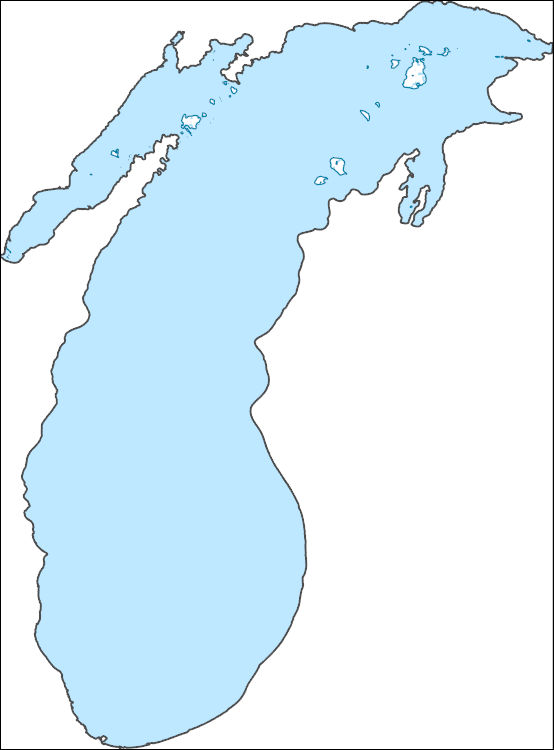
Filters: Tags: Wisconsin (X) > Date Range: {"choice":"month"} (X)
26 results (13ms)|
Filters
Date Types (for Date Range)
Types Contacts
Categories Tag Types
|
The U.S. Geological Survey Central Midwest Water Science Center completed a report (Over and others, 2023) documenting methods, results, and applications of an updated flood-frequency study for the State of Illinois. The study developed regional regression equations that relate the peak-flow quantiles and the basin characteristics of selected streamgages in Illinois, Indiana, and Wisconsin, based on data through water year 2017 (a water year is the period from October 1 to September 30 and is designated by the year in which it ends; for example, water year 2017 was from October 1, 2016, to September 30, 2017). The data provided through this data release are those digital datasets of basin characteristics that have...
In 2011-12, the U.S. Geological Survey conducted a study of the and hydrogeomorphic history and hydrodynamic characteristics of the lower 5 kilometers of the Sheboygan River, a tributary to Lake Michigan in eastern Wisconsin. The hydrogeomorphic history and stability of an ecologically important island complex in the Sheboygan River, the Wildwood Islands, was studied to determine the potential effects of inundation of island surfaces on riparian vegetation and potential areas of erosion and deposition. A two-dimensional (2D) channel hydraulics model was developed for simulating the interaction of riverine flows with varying lake levels and seiche effects. This dataset contains model input and output associated with...
Concentrations and loads of total phosphorus, dissolved phosphorus, and suspended solids were estimated for three sites on the Lower Fox River for October 1988 through September 2021. The sites are the Fox River at Neenah-Menasha (040844105), Fox River at DePere (04085059), and Fox River at the Mouth (040851385). Data analysis was conducted with the Weighted Regressions on Time, Discharge, and Season (WRTDS) method. Daily loads were estimated using the WRTDS method with Kalman filtering. To determine changes in loads over this period, the annual load results were flow-normalized to standardize for the varying flow dynamics that occurred among years. The model archive contains the R code for running the WRTDS model,...
Monitoring overwinter survival is valuable for understanding population dynamics of winter-adapted species. We quantified overwinter survival of Ruffed grouse (Bonasa umbellus) in Sandhill State Wildlife Area in Wisconsin using data from radio-collared birds. We used known fate survival models to quantify weekly survival across five winter seasons. This dataset includes encounter histories for each bird and individual covariate values for demographic information, weekly weather conditions, and land cover.
Categories: Data;
Tags: Ruffed Grouse,
Sandhill State Wildlife Area,
Winter Survival Data,
Wisconsin,
Wisconsin,
Fisheries in the glacial lakes region of the upper Midwest are culturally, economically, and recreationally beneficial. Walleye, for instance, represent an important subsistence food source for some Wisconsin tribal nations and are also popular among recreational anglers. However, predicted ecological changes to these aquatic communities, such as an increase in invasive fish species, a decrease in walleye and other native fishes, and worsening water quality due to increases in temperature and shifts in precipitation, has prompted concern among regional anglers who may abandon certain fisheries as these changes occur. Understanding how changes in climate may affect glacial lakes region fishes, and how fishery managers...
Categories: Project;
Types: Map Service,
OGC WFS Layer,
OGC WMS Layer,
OGC WMS Service;
Tags: 2018,
CASC,
Fish,
Fish,
Indigenous Peoples,

The High Resolution National Hydrography Dataset Plus (NHDPlus HR) is an integrated set of geospatial data layers, including the best available National Hydrography Dataset (NHD), the 10-meter 3D Elevation Program Digital Elevation Model (3DEP DEM), and the National Watershed Boundary Dataset (WBD). The NHDPlus HR combines the NHD, 3DEP DEMs, and WBD to create a stream network with linear referencing, feature naming, "value added attributes" (VAAs), elevation-derived catchments, and other features for hydrologic data analysis. The stream network with linear referencing is a system of data relationships applied to hydrographic systems so that one stream reach "flows" into another and "events" can be tied to and traced...
|

|