Filters
Date Range
Contacts
Tag Types
Tag Schemes
|
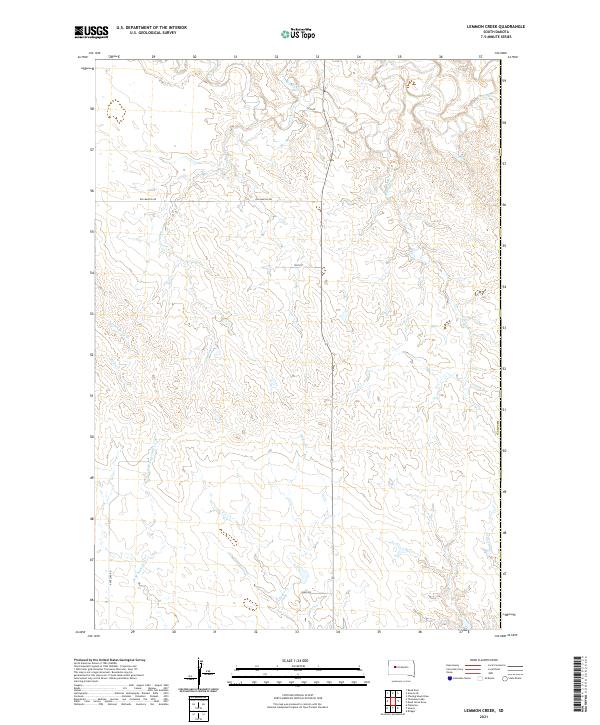
Layered geospatial PDF 7.5 Minute Quadrangle Map. Layers of geospatial data include orthoimagery, roads, grids, geographic names, elevation contours, hydrography, and other selected map features. This map is derived from GIS (geospatial information system) data. It represents a repackaging of GIS data in traditional map form, not creation of new information. The geospatial data in this map are from selected National Map data holdings and other government sources.
Tags: 7.5 x 7.5 minute,
Downloadable Data,
EarthCover,
Geospatial PDF,
Geospatial PDF, All tags...
Imagery and Base Maps,
Map,
Meade County,
Public Land Survey System,
South Dakota,
U.S. National Grid,
US,
US Topo,
US Topo Current,
Ziebach County,
boundary,
contour,
geographic names,
hydrography,
imageryBaseMapsEarthCover,
orthoimage,
structures,
topographic,
transportation,
woodland, Fewer tags
Layered geospatial PDF 7.5 Minute Quadrangle Map. Layers of geospatial data include orthoimagery, roads, grids, geographic names, elevation contours, hydrography, and other selected map features. This map is derived from GIS (geospatial information system) data. It represents a repackaging of GIS data in traditional map form, not creation of new information. The geospatial data in this map are from selected National Map data holdings and other government sources.
Tags: 7.5 x 7.5 minute,
Downloadable Data,
EarthCover,
Geospatial PDF,
Geospatial PDF, All tags...
Imagery and Base Maps,
Map,
Public Land Survey System,
Rattlesnake Butte, SD,
South Dakota,
U.S. National Grid,
US,
US Topo,
US Topo Historical,
Ziebach County,
boundary,
contour,
geographic names,
hydrography,
imageryBaseMapsEarthCover,
orthoimage,
structures,
topographic,
transportation,
woodland, Fewer tags
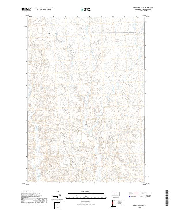
Layered geospatial PDF 7.5 Minute Quadrangle Map. Layers of geospatial data include orthoimagery, roads, grids, geographic names, elevation contours, hydrography, and other selected map features. This map is derived from GIS (geospatial information system) data. It represents a repackaging of GIS data in traditional map form, not creation of new information. The geospatial data in this map are from selected National Map data holdings and other government sources.
Tags: 7.5 x 7.5 minute,
Downloadable Data,
EarthCover,
Geospatial PDF,
Geospatial PDF, All tags...
Imagery and Base Maps,
Map,
Public Land Survey System,
South Dakota,
U.S. National Grid,
US,
US Topo,
US Topo Current,
Ziebach County,
boundary,
contour,
geographic names,
hydrography,
imageryBaseMapsEarthCover,
orthoimage,
structures,
topographic,
transportation,
woodland, Fewer tags
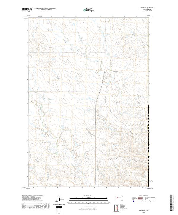
Layered geospatial PDF 7.5 Minute Quadrangle Map. Layers of geospatial data include orthoimagery, roads, grids, geographic names, elevation contours, hydrography, and other selected map features. This map is derived from GIS (geospatial information system) data. It represents a repackaging of GIS data in traditional map form, not creation of new information. The geospatial data in this map are from selected National Map data holdings and other government sources.
Tags: 7.5 x 7.5 minute,
Downloadable Data,
EarthCover,
Geospatial PDF,
Geospatial PDF, All tags...
Imagery and Base Maps,
Map,
Meade County,
Public Land Survey System,
South Dakota,
U.S. National Grid,
US,
US Topo,
US Topo Current,
Ziebach County,
boundary,
contour,
geographic names,
hydrography,
imageryBaseMapsEarthCover,
orthoimage,
structures,
topographic,
transportation,
woodland, Fewer tags
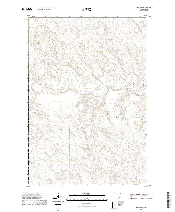
Layered geospatial PDF 7.5 Minute Quadrangle Map. Layers of geospatial data include orthoimagery, roads, grids, geographic names, elevation contours, hydrography, and other selected map features. This map is derived from GIS (geospatial information system) data. It represents a repackaging of GIS data in traditional map form, not creation of new information. The geospatial data in this map are from selected National Map data holdings and other government sources.
Tags: 7.5 x 7.5 minute,
Downloadable Data,
EarthCover,
Geospatial PDF,
Geospatial PDF, All tags...
Imagery and Base Maps,
Map,
Perkins County,
Public Land Survey System,
South Dakota,
U.S. National Grid,
US,
US Topo,
US Topo Current,
Ziebach County,
boundary,
contour,
geographic names,
hydrography,
imageryBaseMapsEarthCover,
orthoimage,
structures,
topographic,
transportation,
woodland, Fewer tags
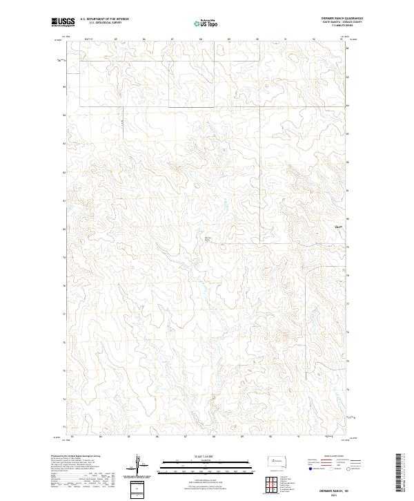
Layered geospatial PDF 7.5 Minute Quadrangle Map. Layers of geospatial data include orthoimagery, roads, grids, geographic names, elevation contours, hydrography, and other selected map features. This map is derived from GIS (geospatial information system) data. It represents a repackaging of GIS data in traditional map form, not creation of new information. The geospatial data in this map are from selected National Map data holdings and other government sources.
Tags: 7.5 x 7.5 minute,
Downloadable Data,
EarthCover,
Geospatial PDF,
Geospatial PDF, All tags...
Imagery and Base Maps,
Map,
Public Land Survey System,
South Dakota,
U.S. National Grid,
US,
US Topo,
US Topo Current,
Ziebach County,
boundary,
contour,
geographic names,
hydrography,
imageryBaseMapsEarthCover,
orthoimage,
structures,
topographic,
transportation,
woodland, Fewer tags
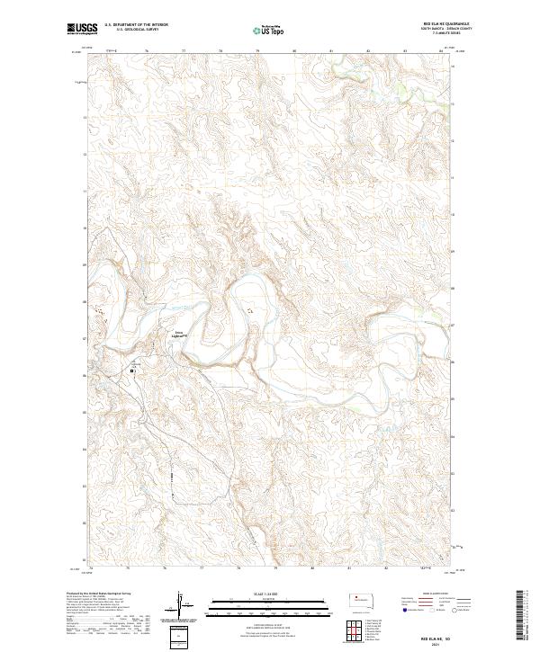
Layered geospatial PDF 7.5 Minute Quadrangle Map. Layers of geospatial data include orthoimagery, roads, grids, geographic names, elevation contours, hydrography, and other selected map features. This map is derived from GIS (geospatial information system) data. It represents a repackaging of GIS data in traditional map form, not creation of new information. The geospatial data in this map are from selected National Map data holdings and other government sources.
Tags: 7.5 x 7.5 minute,
Downloadable Data,
EarthCover,
Geospatial PDF,
Geospatial PDF, All tags...
Imagery and Base Maps,
Map,
Public Land Survey System,
South Dakota,
U.S. National Grid,
US,
US Topo,
US Topo Current,
Ziebach County,
boundary,
contour,
geographic names,
hydrography,
imageryBaseMapsEarthCover,
orthoimage,
structures,
topographic,
transportation,
woodland, Fewer tags
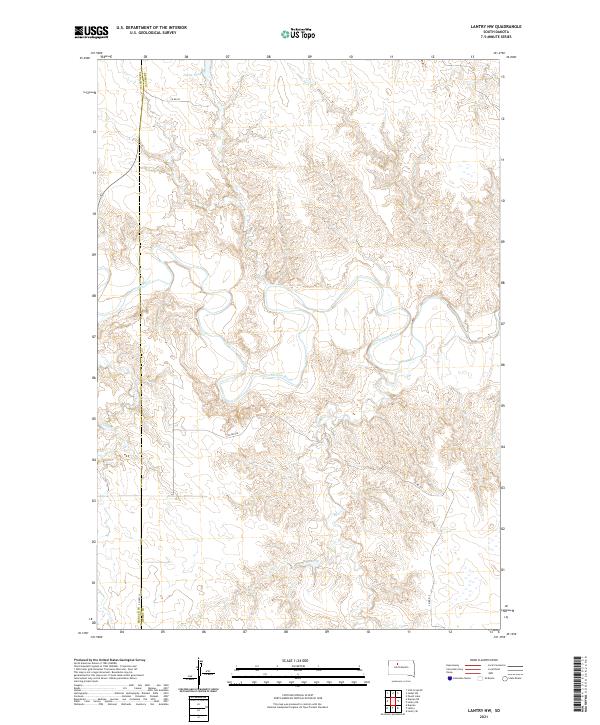
Layered geospatial PDF 7.5 Minute Quadrangle Map. Layers of geospatial data include orthoimagery, roads, grids, geographic names, elevation contours, hydrography, and other selected map features. This map is derived from GIS (geospatial information system) data. It represents a repackaging of GIS data in traditional map form, not creation of new information. The geospatial data in this map are from selected National Map data holdings and other government sources.
Tags: 7.5 x 7.5 minute,
Dewey County,
Downloadable Data,
EarthCover,
Geospatial PDF, All tags...
Geospatial PDF,
Imagery and Base Maps,
Map,
Public Land Survey System,
South Dakota,
U.S. National Grid,
US,
US Topo,
US Topo Current,
Ziebach County,
boundary,
contour,
geographic names,
hydrography,
imageryBaseMapsEarthCover,
orthoimage,
structures,
topographic,
transportation,
woodland, Fewer tags
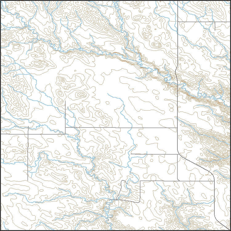
Layers of geospatial data include contours, boundaries, land cover, hydrography, roads, transportation, geographic names, structures, and other selected map features.
Tags: 7.5 x 7.5 minute,
7.5 x 7.5 minute,
Combined Vector,
Combined Vector,
Combined Vector, All tags...
Downloadable Data,
FileGDB 10.1,
FileGDB 10.1,
Public Land Survey System,
SD,
South Dakota,
US,
United States,
Ziebach County,
boundary,
contours,
geographic names,
hydrography,
structures,
transportation,
woodland, Fewer tags
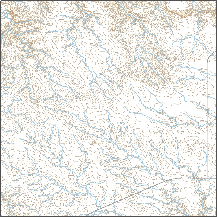
Layers of geospatial data include contours, boundaries, land cover, hydrography, roads, transportation, geographic names, structures, and other selected map features.
Tags: 7.5 x 7.5 minute,
7.5 x 7.5 minute,
Combined Vector,
Combined Vector,
Combined Vector, All tags...
Downloadable Data,
Public Land Survey System,
SD,
Shapefile,
Shapefile,
South Dakota,
US,
United States,
Ziebach County,
boundary,
contours,
geographic names,
hydrography,
structures,
transportation,
woodland, Fewer tags
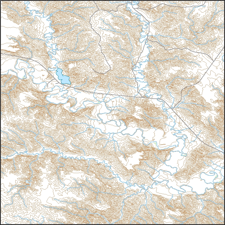
Layers of geospatial data include contours, boundaries, land cover, hydrography, roads, transportation, geographic names, structures, and other selected map features.
Tags: 7.5 x 7.5 minute,
7.5 x 7.5 minute,
Combined Vector,
Combined Vector,
Combined Vector, All tags...
Downloadable Data,
Public Land Survey System,
SD,
Shapefile,
Shapefile,
South Dakota,
US,
United States,
Ziebach County,
boundary,
contours,
geographic names,
hydrography,
structures,
transportation,
woodland, Fewer tags
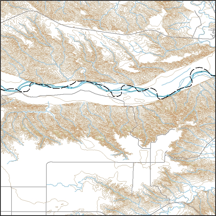
Layers of geospatial data include contours, boundaries, land cover, hydrography, roads, transportation, geographic names, structures, and other selected map features.
Tags: 7.5 x 7.5 minute,
7.5 x 7.5 minute,
Combined Vector,
Combined Vector,
Combined Vector, All tags...
Downloadable Data,
Haakon County,
Public Land Survey System,
SD,
Shapefile,
Shapefile,
South Dakota,
US,
United States,
Ziebach County,
boundary,
contours,
geographic names,
hydrography,
structures,
transportation,
woodland, Fewer tags
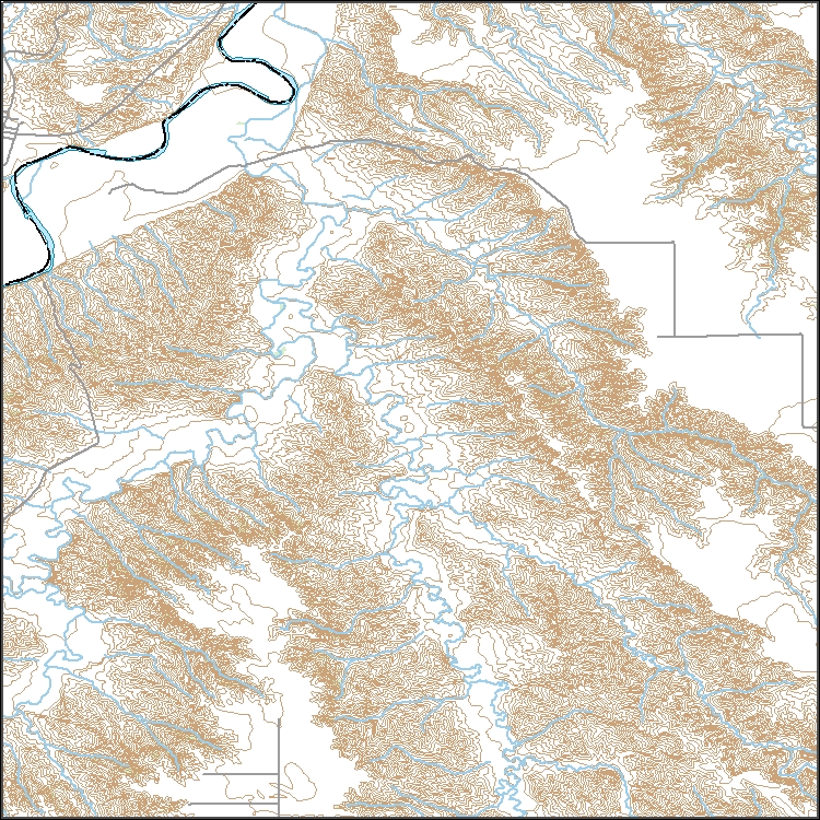
Layers of geospatial data include contours, boundaries, land cover, hydrography, roads, transportation, geographic names, structures, and other selected map features.
Tags: 7.5 x 7.5 minute,
7.5 x 7.5 minute,
Combined Vector,
Combined Vector,
Combined Vector, All tags...
Downloadable Data,
Haakon County,
Public Land Survey System,
SD,
Shapefile,
Shapefile,
South Dakota,
US,
United States,
Ziebach County,
boundary,
contours,
geographic names,
hydrography,
structures,
transportation,
woodland, Fewer tags
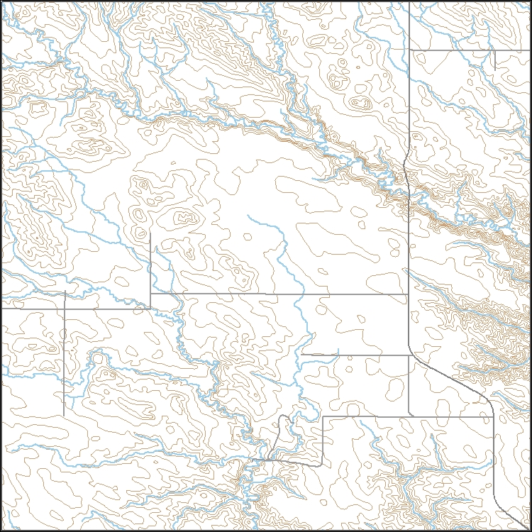
Layers of geospatial data include contours, boundaries, land cover, hydrography, roads, transportation, geographic names, structures, and other selected map features.
Tags: 7.5 x 7.5 minute,
7.5 x 7.5 minute,
Combined Vector,
Combined Vector,
Combined Vector, All tags...
Downloadable Data,
Public Land Survey System,
SD,
Shapefile,
Shapefile,
South Dakota,
US,
United States,
Ziebach County,
boundary,
contours,
geographic names,
hydrography,
structures,
transportation,
woodland, Fewer tags
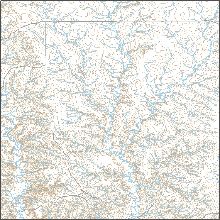
Layers of geospatial data include contours, boundaries, land cover, hydrography, roads, transportation, geographic names, structures, and other selected map features.
Tags: 7.5 x 7.5 minute,
7.5 x 7.5 minute,
Combined Vector,
Combined Vector,
Combined Vector, All tags...
Downloadable Data,
Public Land Survey System,
SD,
Shapefile,
Shapefile,
South Dakota,
US,
United States,
Ziebach County,
boundary,
contours,
geographic names,
hydrography,
structures,
transportation,
woodland, Fewer tags
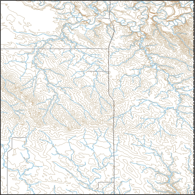
Layers of geospatial data include contours, boundaries, land cover, hydrography, roads, transportation, geographic names, structures, and other selected map features.
Tags: 7.5 x 7.5 minute,
7.5 x 7.5 minute,
Combined Vector,
Combined Vector,
Combined Vector, All tags...
Downloadable Data,
Meade County,
Public Land Survey System,
SD,
Shapefile,
Shapefile,
South Dakota,
US,
United States,
Ziebach County,
boundary,
contours,
geographic names,
hydrography,
structures,
transportation,
woodland, Fewer tags
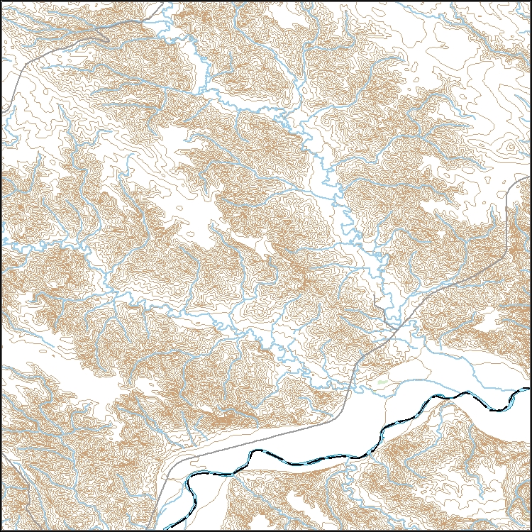
Layers of geospatial data include contours, boundaries, land cover, hydrography, roads, transportation, geographic names, structures, and other selected map features.
Tags: 7.5 x 7.5 minute,
7.5 x 7.5 minute,
Combined Vector,
Combined Vector,
Combined Vector, All tags...
Downloadable Data,
FileGDB 10.1,
FileGDB 10.1,
Haakon County,
Public Land Survey System,
SD,
South Dakota,
US,
United States,
Ziebach County,
boundary,
contours,
geographic names,
hydrography,
structures,
transportation,
woodland, Fewer tags
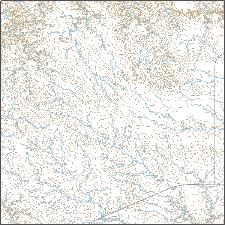
Layers of geospatial data include contours, boundaries, land cover, hydrography, roads, transportation, geographic names, structures, and other selected map features.
Tags: 7.5 x 7.5 minute,
7.5 x 7.5 minute,
Combined Vector,
Combined Vector,
Combined Vector, All tags...
Downloadable Data,
FileGDB 10.1,
FileGDB 10.1,
Public Land Survey System,
SD,
South Dakota,
US,
United States,
Ziebach County,
boundary,
contours,
geographic names,
hydrography,
structures,
transportation,
woodland, Fewer tags
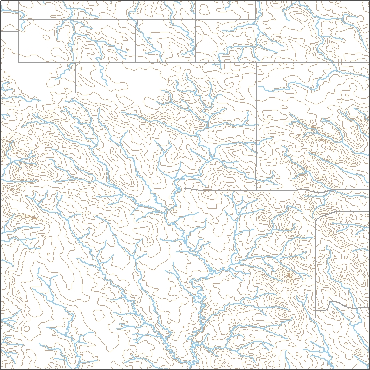
Layers of geospatial data include contours, boundaries, land cover, hydrography, roads, transportation, geographic names, structures, and other selected map features.
Tags: 7.5 x 7.5 minute,
7.5 x 7.5 minute,
Combined Vector,
Combined Vector,
Combined Vector, All tags...
Downloadable Data,
FileGDB 10.1,
FileGDB 10.1,
Public Land Survey System,
SD,
South Dakota,
US,
United States,
Ziebach County,
boundary,
contours,
geographic names,
hydrography,
structures,
transportation,
woodland, Fewer tags
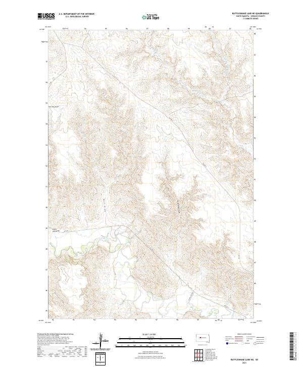
Layered geospatial PDF 7.5 Minute Quadrangle Map. Layers of geospatial data include orthoimagery, roads, grids, geographic names, elevation contours, hydrography, and other selected map features. This map is derived from GIS (geospatial information system) data. It represents a repackaging of GIS data in traditional map form, not creation of new information. The geospatial data in this map are from selected National Map data holdings and other government sources.
Tags: 7.5 x 7.5 minute,
Downloadable Data,
EarthCover,
Geospatial PDF,
Geospatial PDF, All tags...
Imagery and Base Maps,
Map,
Public Land Survey System,
South Dakota,
U.S. National Grid,
US,
US Topo,
US Topo Current,
Ziebach County,
boundary,
contour,
geographic names,
hydrography,
imageryBaseMapsEarthCover,
orthoimage,
structures,
topographic,
transportation,
woodland, Fewer tags
|
|