Filters: Tags: agricultural land (X)
118 results (152ms)|
Filters
Date Range
Extensions Types Contacts
Categories Tag Types
|

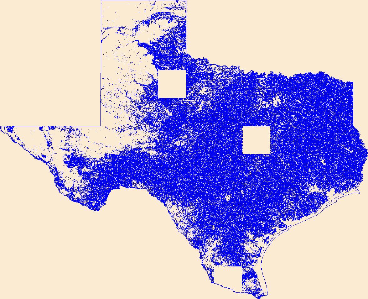
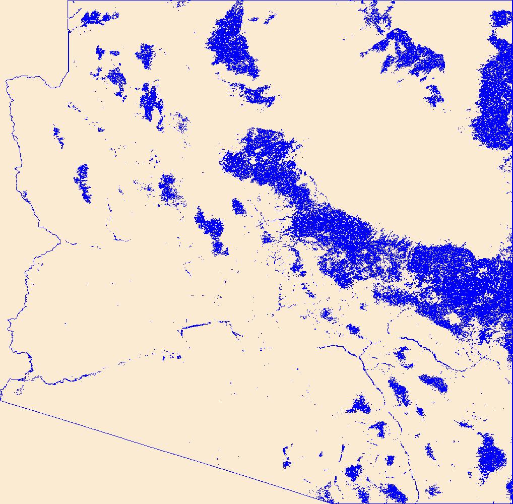
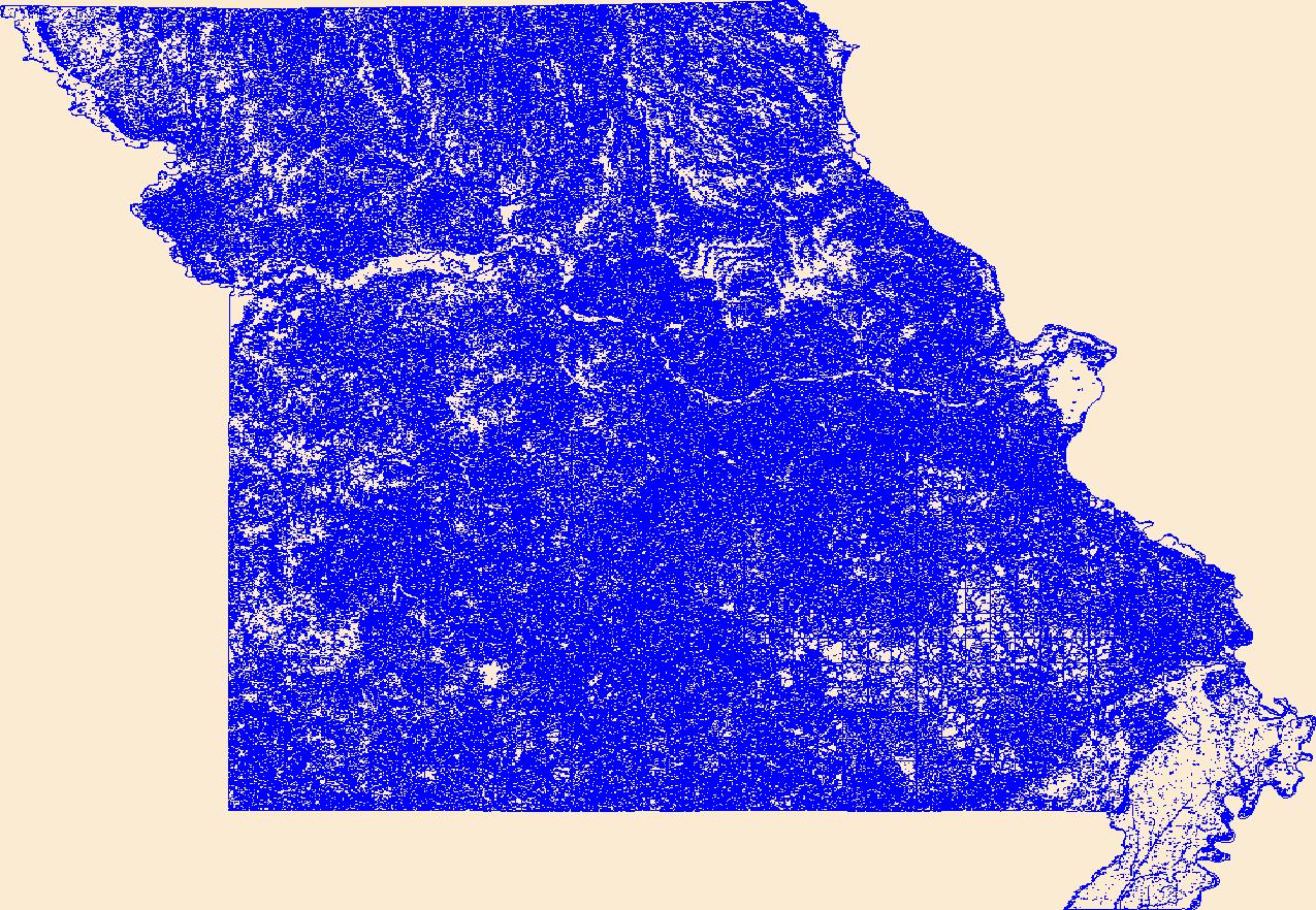
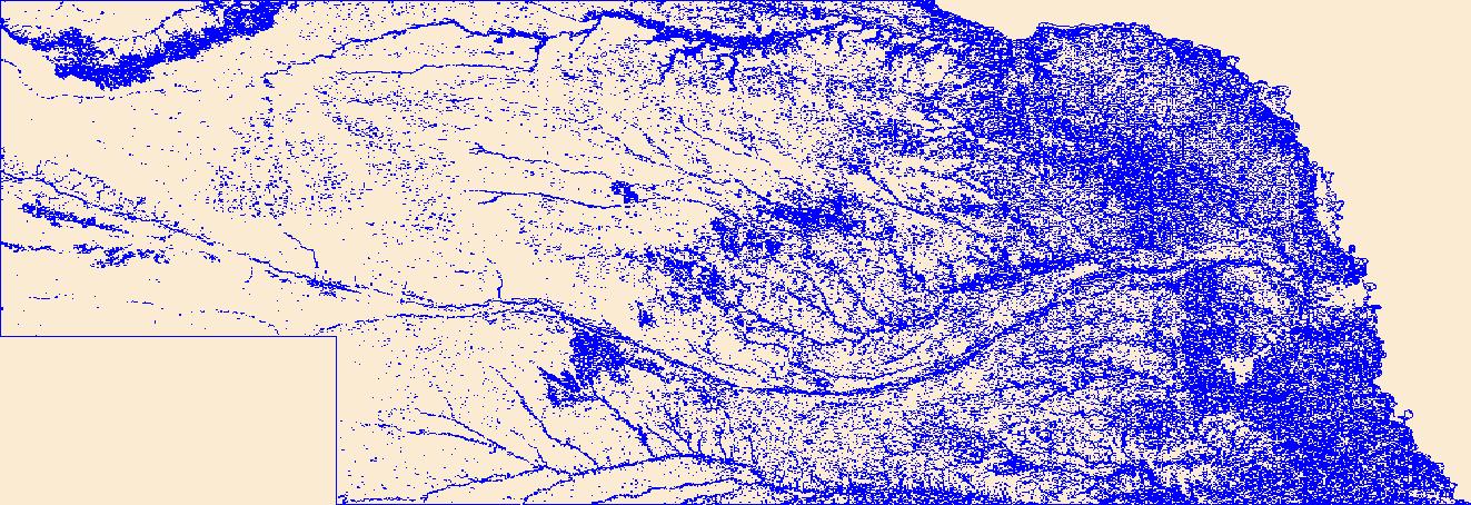
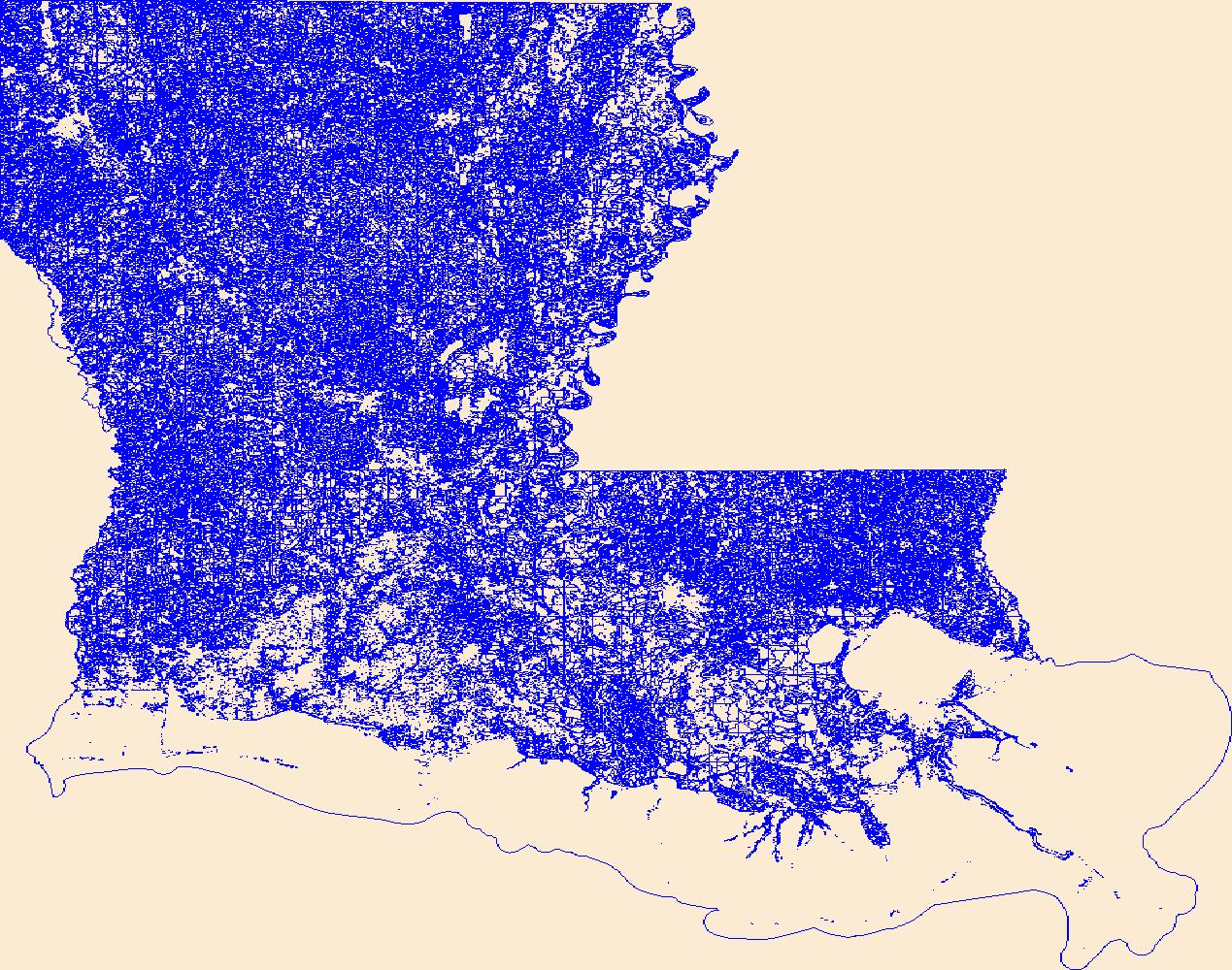
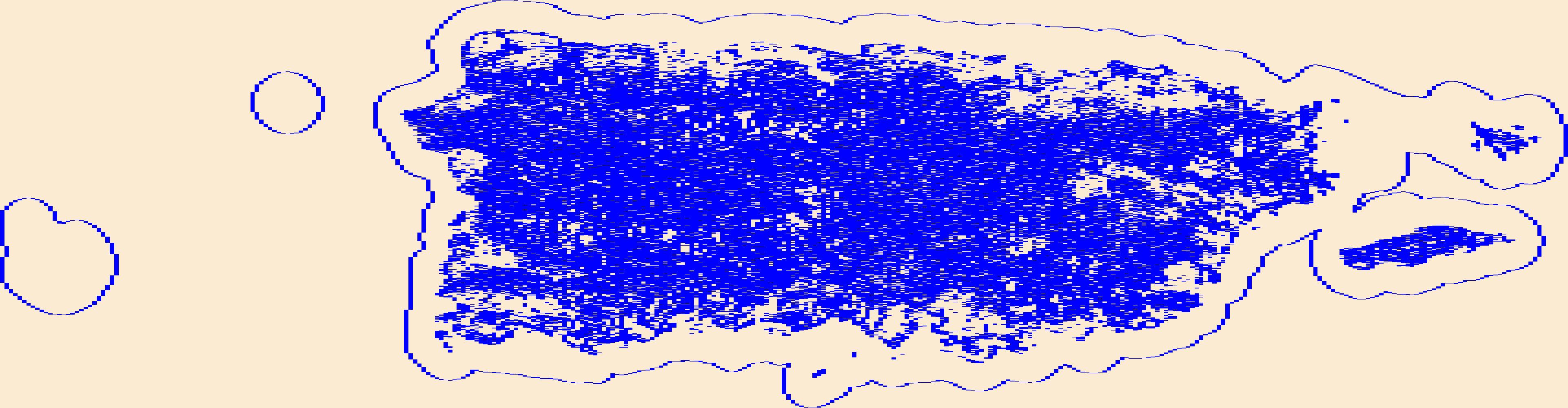
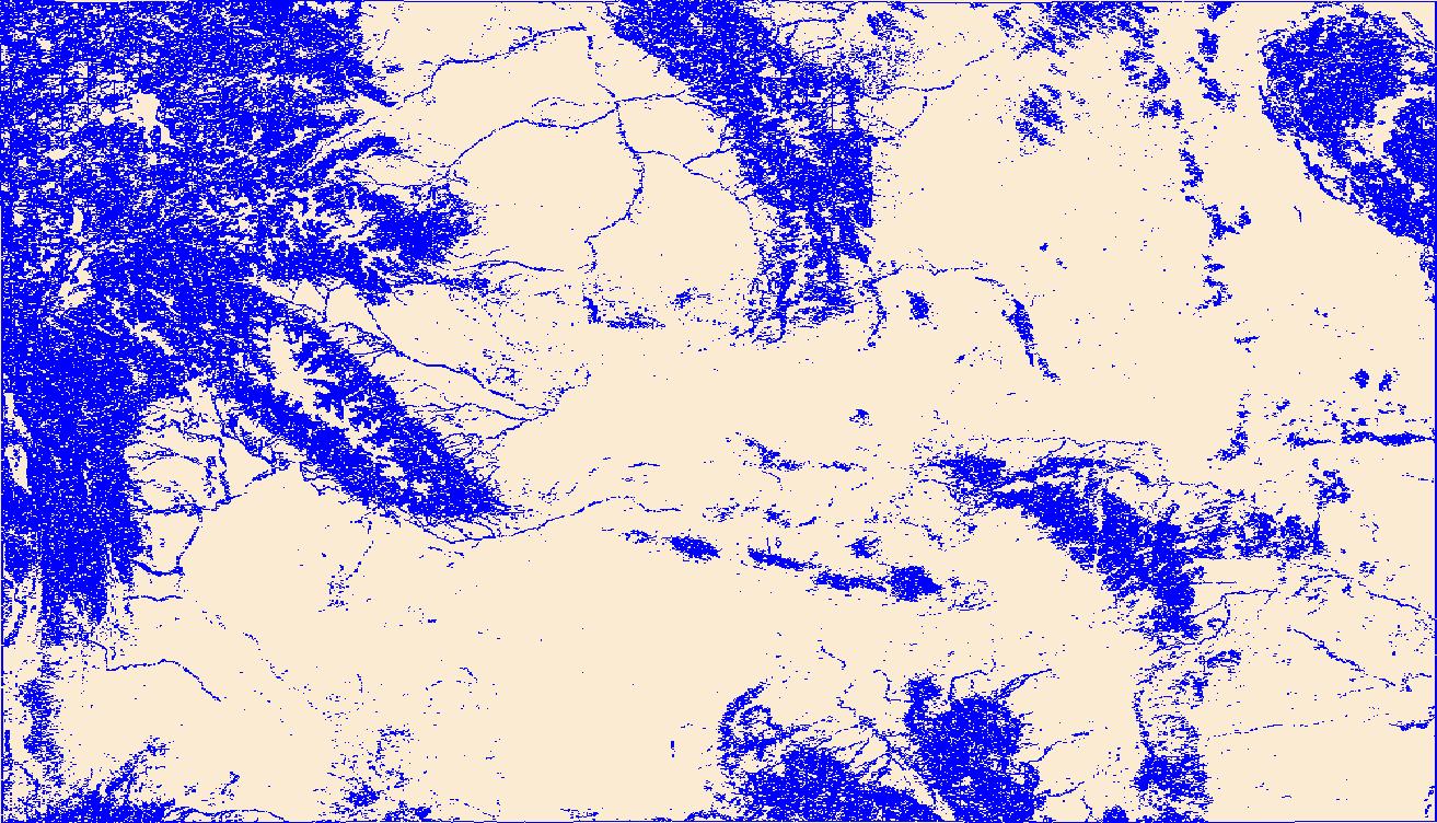
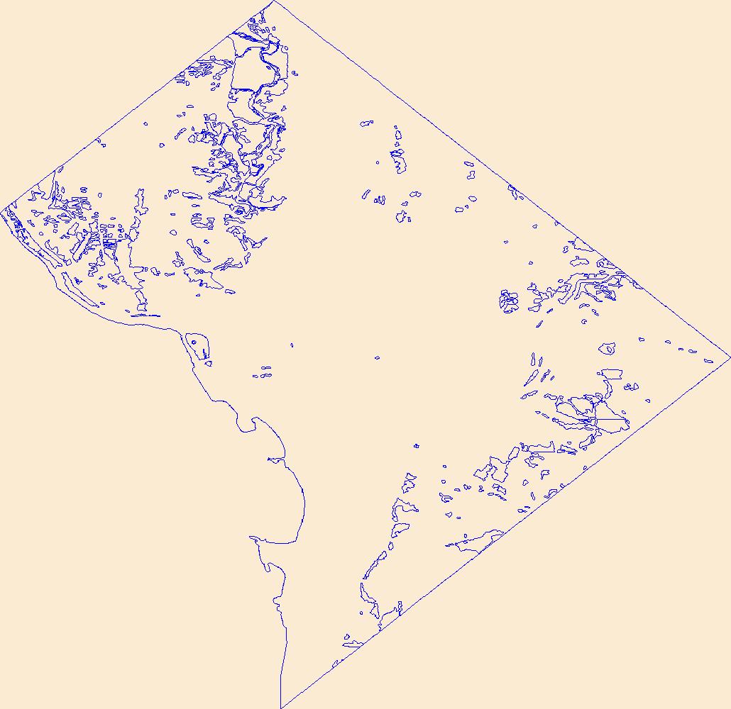
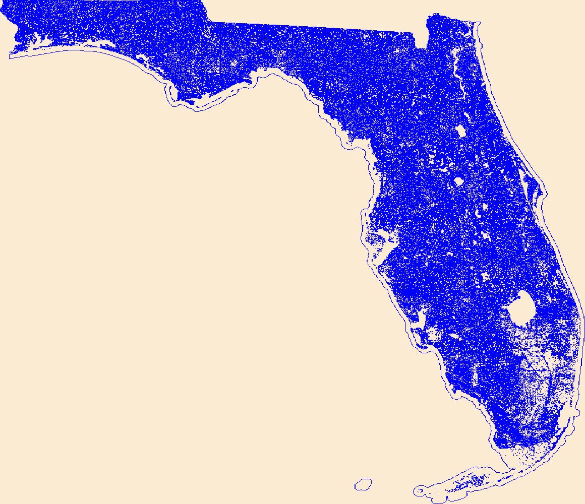
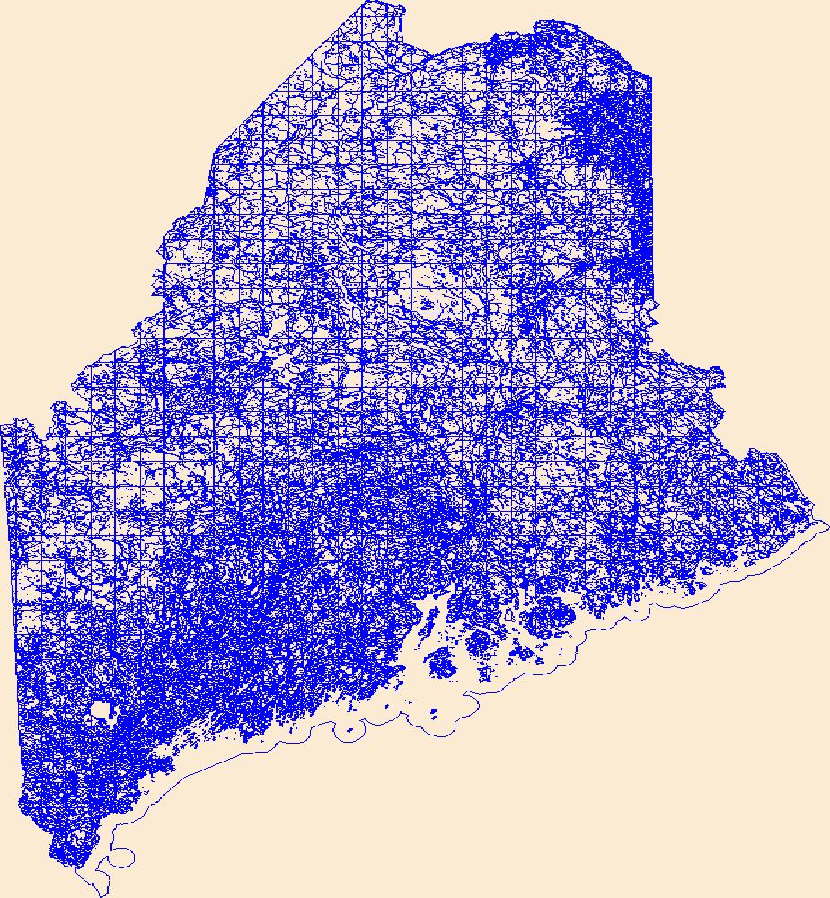
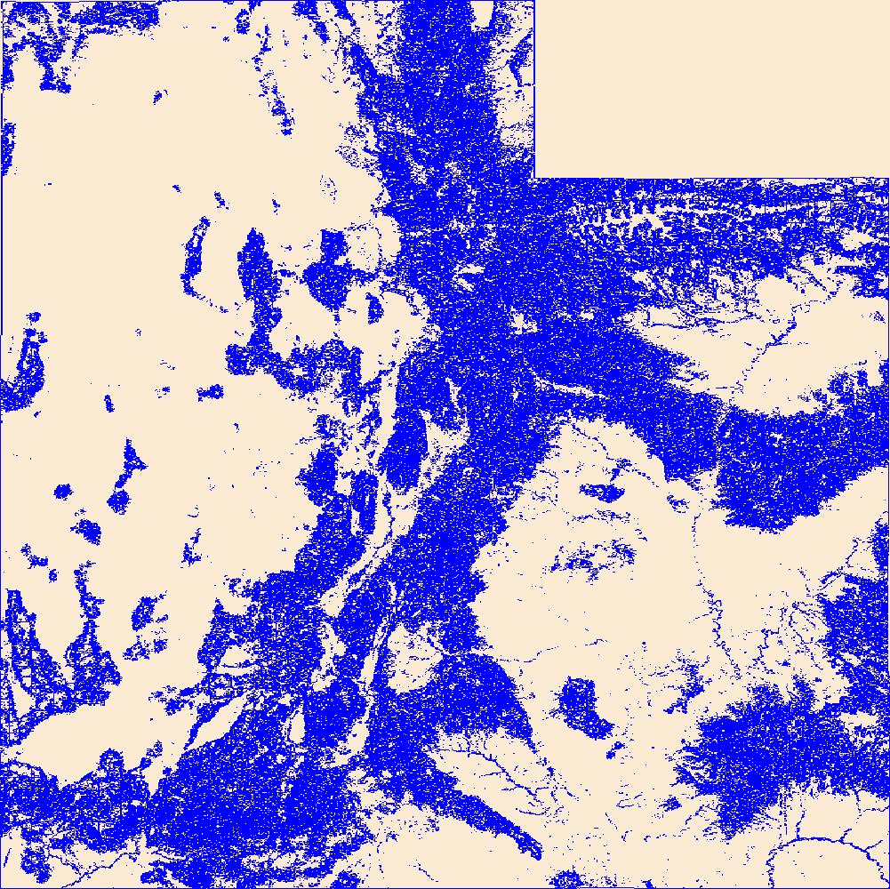
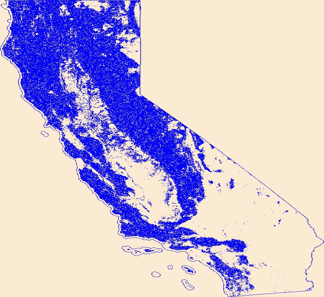
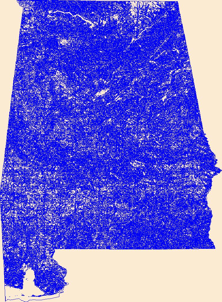
Geospatial data that is a derivative land cover product depicting woodland on topographic maps.
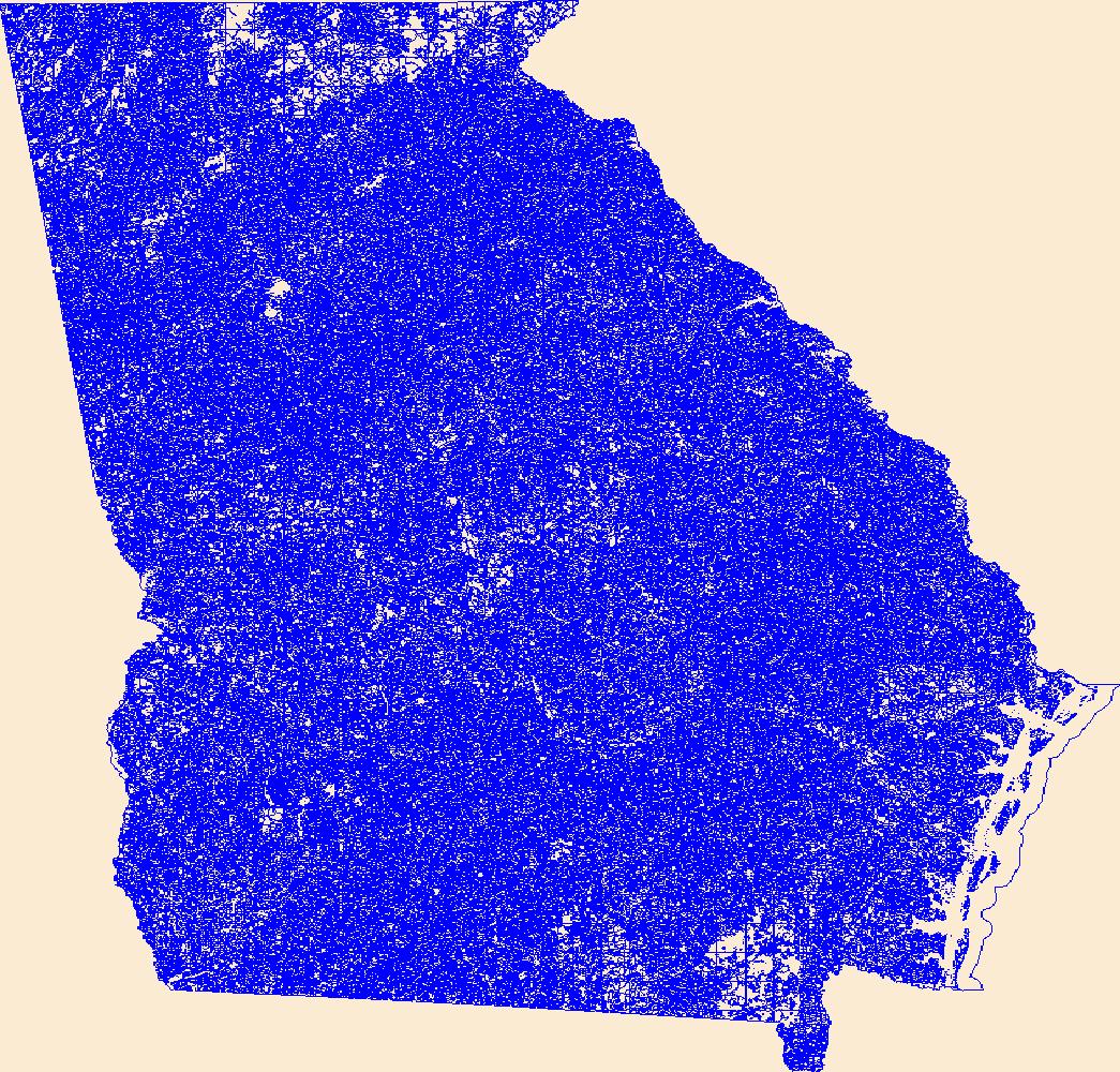
Geospatial data that is a derivative land cover product depicting woodland on topographic maps.
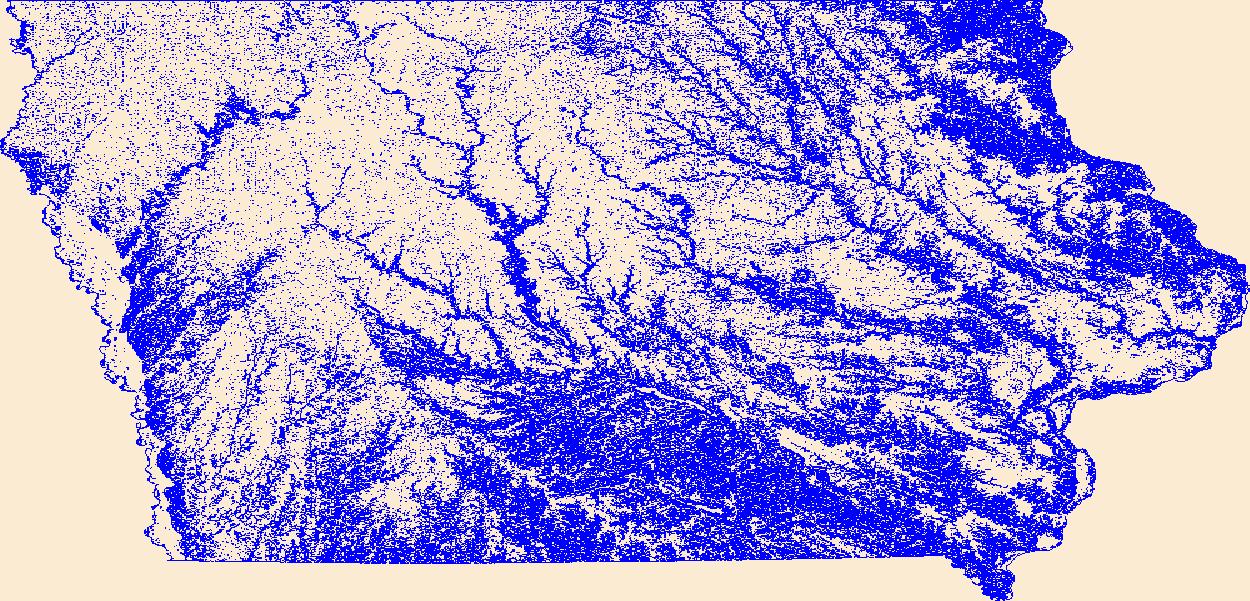
Geospatial data that is a derivative land cover product depicting woodland on topographic maps.
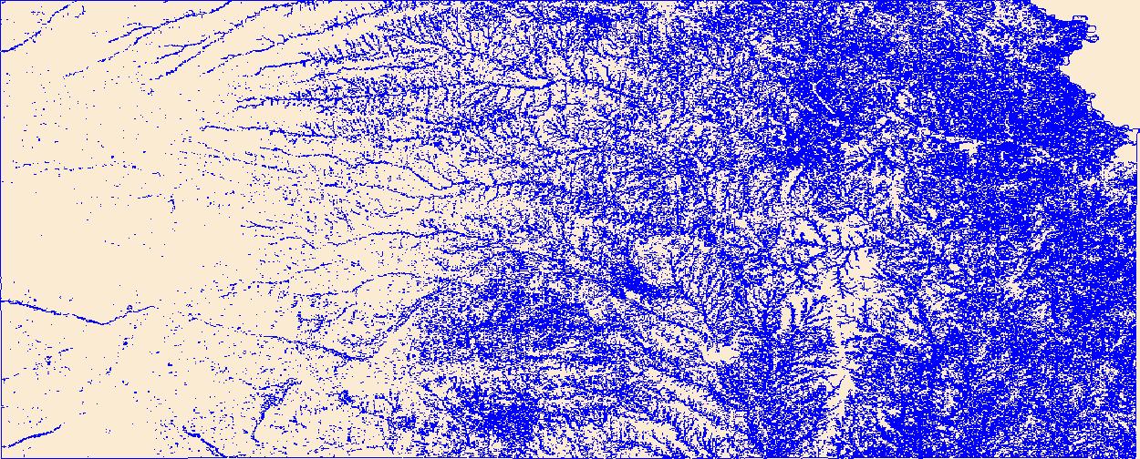
Geospatial data that is a derivative land cover product depicting woodland on topographic maps.
Geospatial data that is a derivative land cover product depicting woodland on topographic maps.
Geospatial data that is a derivative land cover product depicting woodland on topographic maps.
Geospatial data that is a derivative land cover product depicting woodland on topographic maps.
Geospatial data that is a derivative land cover product depicting woodland on topographic maps.
Geospatial data that is a derivative land cover product depicting woodland on topographic maps.
Geospatial data that is a derivative land cover product depicting woodland on topographic maps.
Geospatial data that is a derivative land cover product depicting woodland on topographic maps.
Geospatial data that is a derivative land cover product depicting woodland on topographic maps.
Geospatial data that is a derivative land cover product depicting woodland on topographic maps.
Geospatial data that is a derivative land cover product depicting woodland on topographic maps.
Geospatial data that is a derivative land cover product depicting woodland on topographic maps.

These data were released prior to the October 1, 2016 effective date for the USGS’s policy dictating the review, approval, and release of scientific data as referenced in USGS Survey Manual Chapter 502.8 Fundamental Science Practices: Review and Approval of Scientific Data for Release. This dataset consists of four national 1-kilometer (km) resolution rasters of the estimated percent presence of the soil restrictive layer (SRL) in the upper 25, 35, 45, and 55 centimeters of agricultural land. These rasters were developed from selected criteria of soil parameters from the Soil Survey Geographical (SSURGO) database and mapped agricultural land from the National Land Cover Database 2001 (NLCD 2001), version 2.
Geospatial data that is a derivative land cover product depicting woodland on topographic maps.

Geospatial data that is a derivative land cover product depicting woodland on topographic maps.
Geospatial data that is a derivative land cover product depicting woodland on topographic maps.

Geospatial data that is a derivative land cover product depicting woodland on topographic maps.
|

|
