Filters: Tags: annotations (X) > Date Range: {"choice":"year"} (X)
2 results (10ms)|
Filters
Date Types (for Date Range)
Tag Types Tag Schemes |

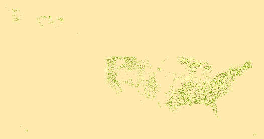
Geospatial data that is a derivative land cover product depicting woodland on topographic maps.
Geospatial data that is a derivative land cover product depicting woodland on topographic maps.
|

|
