Filters
Date Types (for Date Range)
Types
Contacts
Tag Types
Tag Schemes
|

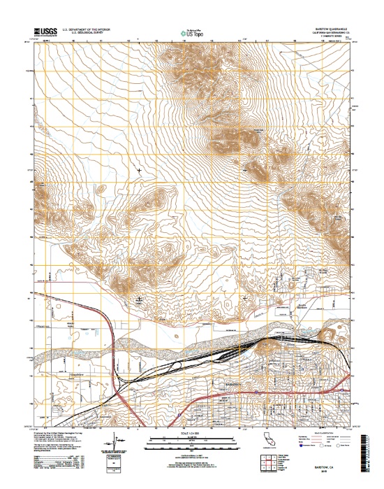
Layers of geospatial data include contours, boundaries, land cover, hydrography, roads, transportation, geographic names, structures, and other selected map features.
Types: Citation,
Map Service,
OGC WFS Layer,
OGC WMS Layer,
OGC WMS Service;
Tags: 7_5_Min,
Combined Vector,
Public Land Survey System,
Topo Map Vector Data,
US, All tags...
USGS:d7847866-d78b-4cbb-8d6a-ba016f116cd9,
United States,
boundaries,
boundary,
contours,
elevation,
geographic names,
hydrography,
imageryBaseMapsEarthCover,
inlandwaters,
location,
structure,
structures,
transportation,
transportation,
woodland, Fewer tags
|
|