Filters: Tags: digital elevation models (X) > Date Range: {"choice":"year"} (X)
363 results (59ms)|
Filters
Date Types (for Date Range)
Types
Contacts
Categories Tag Types Tag Schemes |
These data were compiled to provide a resource for other researchers interested in water-surface elevations and flow velocity across a wide range of discharge in the study reach for the project. Objective(s) of our study were to construct a two-dimensional hydrodynamic model for the 15.8 mile tailwater reach of the Colorado River in Glen Canyon between Glen Canyon Dam and Lees Ferry, Arizona. These data represent the results of the two-dimensional modeling effort with each data table (50) including the results of each run of the model. Additionally, other data represent a comparison of modeled water surface elevations to measured water surface elevations for historic Bureau of Reclamation cross sections in the study...
This imagery dataset consists of 3-meter resolution, lidar-derived imagery of the Carlisle 30 x 60 minute quadrangle in Pennsylvania. The source data used to construct this imagery consists of 1-meter resolution lidar-derived digital elevation models (DEMs). The lidar source data were compiled from different acquisitions published between 2019 and 2020 and downloaded from the USGS National Map TNM Download. The data were processed using geographic information systems (GIS) software. The data is projected in WGS 1984 Web Mercator. This representation illustrates the terrain as a hillshade with contrast adjusted to highlight local relief according to a topographic position index (TPI) calculation.
Categories: Data;
Types: Downloadable,
GeoTIFF,
Map Service,
OGC WFS Layer,
OGC WMS Layer,
OGC WMS Service,
Raster;
Tags: Geography,
Land Use Change,
Pennsylvania,
Water Resources,
digital elevation models,
This data release presents beach topography and nearshore bathymetry data from repeated surveys in northern Monterey Bay, California to document changes in shoreline position and coastal morphology as they relate to episodic (storms), seasonal, and interannual and longer (e.g. El Niño) processes. The ongoing monitoring program was initiated in October 2014 with semi-annual surveys performed in late summer (September or October) and Spring (March). Nearshore bathymetry and topography data were collected along a series of shore-perpendicular transects spaced primarily at 50-250 m intervals between Santa Cruz and Moss Landing, California (fig. 1). The transects were located along sandy stretches of the coastline...
Categories: Data;
Types: Map Service,
OGC WFS Layer,
OGC WMS Layer,
OGC WMS Service;
Tags: Bathymetry and Elevation,
CMGP,
Coastal and Marine Geology Program,
Echo Sounders,
GPS (Global Positioning System),

The High Resolution National Hydrography Dataset Plus (NHDPlus HR) is an integrated set of geospatial data layers, including the National Hydrography Dataset (NHD), National Watershed Boundary Dataset (WBD), and 3D Elevation Program Digital Elevation Model (3DEP DEM). The NHDPlus HR combines the NHD, 3DEP DEMs, and WBD to a data suite that includes the NHD stream network with linear referencing functionality, the WBD hydrologic units, elevation-derived catchment areas for each stream segment, "value added attributes" (VAAs), and other features that enhance hydrologic data analysis and routing.
These data were compiled for Cabeza Prieta National Wildlife Refuge (CPNWR) in southern Arizona, to support managment efforts of water resources and wildlife conservation. Objective(s) of our study were to 1) measure water storage capacity at select stage heights in three tanks (also termed tinajas), 2) build a stage storage model to help CPNWR staff accurately estimate water volumes throughout the year, and 3) collect topographic data adjacent to the tanks as a means to help connect these survey data to past or future work. These data represent high-resolution (sub-meter) ground based lidar measurements used to meet these objectives and are provided as: processed lidar files (point clouds), rasters (digital elevation...
The High Resolution National Hydrography Dataset Plus (NHDPlus HR) is an integrated set of geospatial data layers, including the best available National Hydrography Dataset (NHD), the 10-meter 3D Elevation Program Digital Elevation Model (3DEP DEM), and the National Watershed Boundary Dataset (WBD). The NHDPlus HR combines the NHD, 3DEP DEMs, and WBD to create a stream network with linear referencing, feature naming, "value added attributes" (VAAs), elevation-derived catchments, and other features for hydrologic data analysis. The stream network with linear referencing is a system of data relationships applied to hydrographic systems so that one stream reach "flows" into another and "events" can be tied to and traced...
The High Resolution National Hydrography Dataset Plus (NHDPlus HR) is an integrated set of geospatial data layers, including the National Hydrography Dataset (NHD), National Watershed Boundary Dataset (WBD), and 3D Elevation Program Digital Elevation Model (3DEP DEM). The NHDPlus HR combines the NHD, 3DEP DEMs, and WBD to a data suite that includes the NHD stream network with linear referencing functionality, the WBD hydrologic units, elevation-derived catchment areas for each stream segment, "value added attributes" (VAAs), and other features that enhance hydrologic data analysis and routing.
The High Resolution National Hydrography Dataset Plus (NHDPlus HR) is an integrated set of geospatial data layers, including the best available National Hydrography Dataset (NHD), the 10-meter 3D Elevation Program Digital Elevation Model (3DEP DEM), and the National Watershed Boundary Dataset (WBD). The NHDPlus HR combines the NHD, 3DEP DEMs, and WBD to create a stream network with linear referencing, feature naming, "value added attributes" (VAAs), elevation-derived catchments, and other features for hydrologic data analysis. The stream network with linear referencing is a system of data relationships applied to hydrographic systems so that one stream reach "flows" into another and "events" can be tied to and traced...
The High Resolution National Hydrography Dataset Plus (NHDPlus HR) is an integrated set of geospatial data layers, including the best available National Hydrography Dataset (NHD), the 10-meter 3D Elevation Program Digital Elevation Model (3DEP DEM), and the National Watershed Boundary Dataset (WBD). The NHDPlus HR combines the NHD, 3DEP DEMs, and WBD to create a stream network with linear referencing, feature naming, "value added attributes" (VAAs), elevation-derived catchments, and other features for hydrologic data analysis. The stream network with linear referencing is a system of data relationships applied to hydrographic systems so that one stream reach "flows" into another and "events" can be tied to and traced...
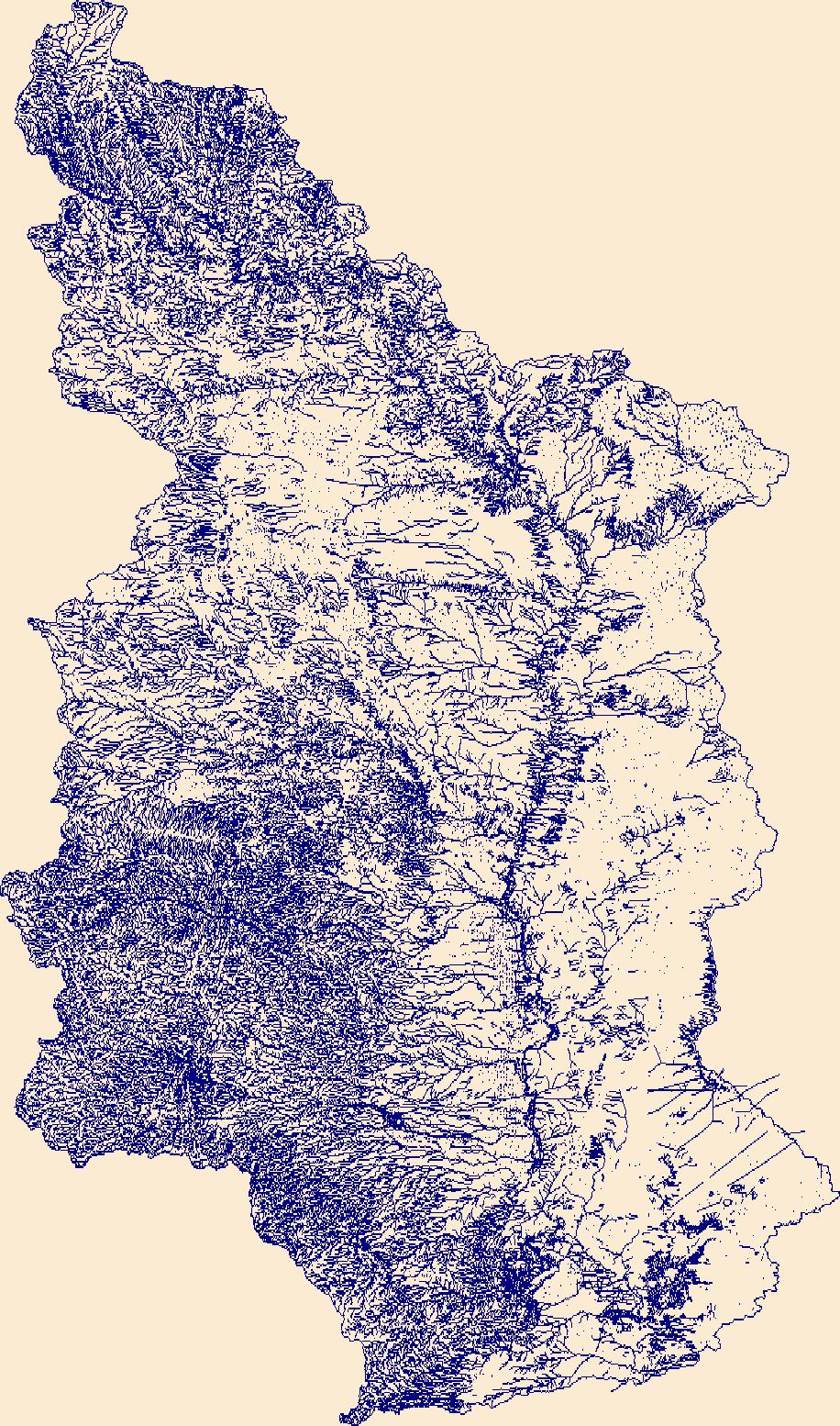
The High Resolution National Hydrography Dataset Plus (NHDPlus HR) is an integrated set of geospatial data layers, including the best available National Hydrography Dataset (NHD), the 10-meter 3D Elevation Program Digital Elevation Model (3DEP DEM), and the National Watershed Boundary Dataset (WBD). The NHDPlus HR combines the NHD, 3DEP DEMs, and WBD to create a stream network with linear referencing, feature naming, "value added attributes" (VAAs), elevation-derived catchments, and other features for hydrologic data analysis. The stream network with linear referencing is a system of data relationships applied to hydrographic systems so that one stream reach "flows" into another and "events" can be tied to and traced...
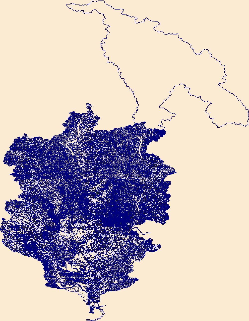
The High Resolution National Hydrography Dataset Plus (NHDPlus HR) is an integrated set of geospatial data layers, including the best available National Hydrography Dataset (NHD), the 10-meter 3D Elevation Program Digital Elevation Model (3DEP DEM), and the National Watershed Boundary Dataset (WBD). The NHDPlus HR combines the NHD, 3DEP DEMs, and WBD to create a stream network with linear referencing, feature naming, "value added attributes" (VAAs), elevation-derived catchments, and other features for hydrologic data analysis. The stream network with linear referencing is a system of data relationships applied to hydrographic systems so that one stream reach "flows" into another and "events" can be tied to and traced...

The High Resolution National Hydrography Dataset Plus (NHDPlus HR) is an integrated set of geospatial data layers, including the best available National Hydrography Dataset (NHD), the 10-meter 3D Elevation Program Digital Elevation Model (3DEP DEM), and the National Watershed Boundary Dataset (WBD). The NHDPlus HR combines the NHD, 3DEP DEMs, and WBD to create a stream network with linear referencing, feature naming, "value added attributes" (VAAs), elevation-derived catchments, and other features for hydrologic data analysis. The stream network with linear referencing is a system of data relationships applied to hydrographic systems so that one stream reach "flows" into another and "events" can be tied to and traced...
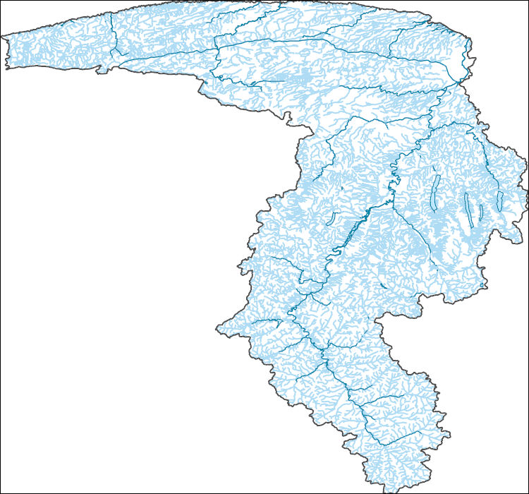
The High Resolution National Hydrography Dataset Plus (NHDPlus HR) is an integrated set of geospatial data layers, including the best available National Hydrography Dataset (NHD), the 10-meter 3D Elevation Program Digital Elevation Model (3DEP DEM), and the National Watershed Boundary Dataset (WBD). The NHDPlus HR combines the NHD, 3DEP DEMs, and WBD to create a stream network with linear referencing, feature naming, "value added attributes" (VAAs), elevation-derived catchments, and other features for hydrologic data analysis. The stream network with linear referencing is a system of data relationships applied to hydrographic systems so that one stream reach "flows" into another and "events" can be tied to and traced...
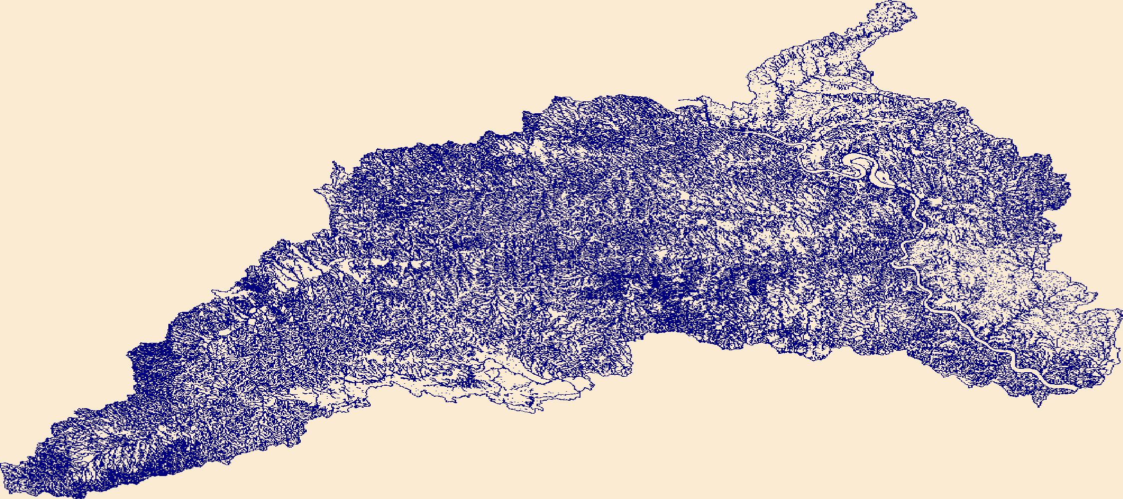
The High Resolution National Hydrography Dataset Plus (NHDPlus HR) is an integrated set of geospatial data layers, including the best available National Hydrography Dataset (NHD), the 10-meter 3D Elevation Program Digital Elevation Model (3DEP DEM), and the National Watershed Boundary Dataset (WBD). The NHDPlus HR combines the NHD, 3DEP DEMs, and WBD to create a stream network with linear referencing, feature naming, "value added attributes" (VAAs), elevation-derived catchments, and other features for hydrologic data analysis. The stream network with linear referencing is a system of data relationships applied to hydrographic systems so that one stream reach "flows" into another and "events" can be tied to and traced...

The High Resolution National Hydrography Dataset Plus (NHDPlus HR) is an integrated set of geospatial data layers, including the best available National Hydrography Dataset (NHD), the 10-meter 3D Elevation Program Digital Elevation Model (3DEP DEM), and the National Watershed Boundary Dataset (WBD). The NHDPlus HR combines the NHD, 3DEP DEMs, and WBD to create a stream network with linear referencing, feature naming, "value added attributes" (VAAs), elevation-derived catchments, and other features for hydrologic data analysis. The stream network with linear referencing is a system of data relationships applied to hydrographic systems so that one stream reach "flows" into another and "events" can be tied to and traced...

The High Resolution National Hydrography Dataset Plus (NHDPlus HR) is an integrated set of geospatial data layers, including the best available National Hydrography Dataset (NHD), the 10-meter 3D Elevation Program Digital Elevation Model (3DEP DEM), and the National Watershed Boundary Dataset (WBD). The NHDPlus HR combines the NHD, 3DEP DEMs, and WBD to create a stream network with linear referencing, feature naming, "value added attributes" (VAAs), elevation-derived catchments, and other features for hydrologic data analysis. The stream network with linear referencing is a system of data relationships applied to hydrographic systems so that one stream reach "flows" into another and "events" can be tied to and traced...

The High Resolution National Hydrography Dataset Plus (NHDPlus HR) is an integrated set of geospatial data layers, including the best available National Hydrography Dataset (NHD), the 10-meter 3D Elevation Program Digital Elevation Model (3DEP DEM), and the National Watershed Boundary Dataset (WBD). The NHDPlus HR combines the NHD, 3DEP DEMs, and WBD to create a stream network with linear referencing, feature naming, "value added attributes" (VAAs), elevation-derived catchments, and other features for hydrologic data analysis. The stream network with linear referencing is a system of data relationships applied to hydrographic systems so that one stream reach "flows" into another and "events" can be tied to and traced...
This dataset is a point shapefile of wells measured for the potentiometric surface maps of the Mississippi River Valley alluvial aquifer (MRVA) in Spring 2016, 2018, and 2020. The data provided for each well considered in the applicable potentiometric surface map are the water-level date, altitude [relative to the North American vertical datum of 1988 (NAVD88)], a useYYYY code (which is positive if the water level was used in the potentiometric surface map for that year), a use comment (which is populated for water levels not used), and the water-level change values, for 2016-18, 2018-20, and 2016-20 for water levels with positive useYYYY codes for the applicable years. The data provided for each streamgage considered...
This dataset is a raster surface, in feet, of the depth to water, spring 2020, Mississippi River Valley alluvial aquifer (MRVA). The raster cell size is 1,000 meters (3,280.8 ft). The raster was interpolated using (1) depth-to-water (GW_D2W) data from wells and (2) an assumed value of zero for depth to water at streamgages (SW_D2W) because the precise depth to groundwater at the streamgage is not known..The streamgage data is used only when it appears the regional aquifer and surface water are hydrologically connected.
Low altitude (300 meters above ground level (AGL)) digital aerial imagery were acquired on May 4 and 5, 2020, from a manned, fixed-wing aircraft using a Sony A7R 36 Megapixel digital camera, along with precise aircraft location Global Navigation Satellite System (GNSS) data. Data were collected in shore-parallel lines, flying at approximately 50 meters per second and capturing true color imagery at 1 Hertz, resulting in image footprints with approximately 75-80% endlap, 60-70% sidelap, and a ground sample distance (GSD) of 5.3 centimeters. The precise time of each image capture (flash event) was recorded, and the corresponding aircraft position was computed in post-processing from the aircraft navigation GNSS data;...
|

|