Filters: Tags: digital elevation models (X)
825 results (16ms)|
Filters
Date Range
Extensions (Less) Types (Less)
Contacts (Less)
Categories (Less) Tag Types
|
The Louisiana State Legislature created the Coastal Wetlands Planning, Protection and Restoration Act (CWPPRA) in order to conserve, restore, create and enhance Louisiana's coastal wetlands. The wetland restoration plans developed pursuant to these acts specifically require an evaluation of the effectiveness of each coastal wetlands restoration project in achieving long-term solutions to arresting coastal wetlands loss. This data set includes mosaicked aerial photographs for the Oyster Bayou Marsh Creation and Terracing (CS-59) project for 2018. This data is used as a basemap land-water classification. It also serves as a visual tool for project managers to help them identify any obvious problems or land loss within...
Categories: Data;
Types: Downloadable,
GeoTIFF,
Map Service,
Raster;
Tags: CS-59,
CWPPRA,
Geography,
Gulf of Mexico,
Land Use Change,
Well-established conservation planning principles and techniques framed by geodesign were used to assess the restorability of areas that historically supported coastal wetlands along the U.S. shore of Saginaw Bay. The resulting analysis supported planning efforts to identify, prioritize, and track wetland restoration opportunity and investment in the region. To accomplish this, publicly available data, criteria derived from the regional managers and local stakeholders, and geospatial analysis were used to form an ecological model for spatial prioritization.
This data release presents structure-from-motion (SFM) products derived from aerial imagery surveys with precise Global Navigation Satellite System (GNSS) navigation data flown in a piloted fixed wing aircraft taken along the North Carolina coast in response to Hurricane Florence (available here https://coastal.er.usgs.gov/data-release/doi-P91KB9SF/). USGS researchers use the elevation models and orthorectified imagery to assess future coastal vulnerability, nesting habitats for wildlife, and provide data for hurricane impact models. The products span the coast over both highly developed towns and natural areas, including federal lands. These products represent the coast after Hurricane Florence and cover the Cape...
The Louisiana State Legislature created Coastal Wetlands Planning, Protection and Restoration Act (CWPPRA) in order to conserve, restore, create and enhance Louisiana's coastal wetlands. The wetland restoration plans developed pursuant to these acts specifically require an evaluation of the effectiveness of each coastal wetlands restoration project in achieving long-term solutions to arresting coastal wetlands loss. This data set includes mosaicked aerial photographs for the Highway 384 Hydrologic Restoration (CS-21) project for 2015. This data is used as a basemap land-water classification. It also serves as a visual tool for project managers to help them identify any obvious problems or land loss within their...
Categories: Data;
Types: Downloadable,
GeoTIFF,
Map Service,
Raster;
Tags: CS-21,
CWPPRA,
Ecology,
Geography,
Gulf of Mexico,
The Louisiana State Legislature created Coastal Wetlands Planning, Protection and Restoration Act (CWPPRA) in order to conserve, restore, create and enhance Louisiana's coastal wetlands. The wetland restoration plans developed pursuant to these acts specifically require an evaluation of the effectiveness of each coastal wetlands restoration project in achieving long-term solutions to arresting coastal wetlands loss. This data set includes mosaicked aerial photographs for the East Sabine Lake Hydrologic Restoration (CS-32) project for 2015. This data is used as a basemap land-water classification. It also serves as a visual tool for project managers to help them identify any obvious problems or land loss within their...
Categories: Data;
Types: Downloadable,
GeoTIFF,
Map Service,
Raster;
Tags: CS-32,
CWPPRA,
Geography,
Gulf of Mexico,
Land Use Change,
The Louisiana State Legislature created the Coastal Wetlands Planning, Protection and Restoration Act (CWPPRA) in order to conserve, restore, create and enhance Louisiana's coastal wetlands. The wetland restoration plans developed pursuant to these acts specifically require an evaluation of the effectiveness of each coastal wetlands restoration project in achieving long-term solutions to arresting coastal wetlands loss. This data set includes mosaicked aerial photographs for the Bayou Dupont Marsh and Ridge Creation (BA-48) project for 2016. This data is used as a basemap land-water classification. It also serves as a visual tool for project managers to help them identify any obvious problems or land loss within...
Categories: Data;
Types: Downloadable,
GeoTIFF,
Map Service,
Raster;
Tags: BA-48,
CWPPRA,
Ecology,
Geography,
Gulf of Mexico,
This data release presents beach topography and nearshore bathymetry data from repeated surveys in northern Monterey Bay, California to document changes in shoreline position and coastal morphology as they relate to episodic (storms), seasonal, and interannual and longer (e.g. El Niño) processes. The ongoing monitoring program was initiated in October 2014 with semi-annual surveys performed in late summer (September or October) and Spring (March). Nearshore bathymetry and topography data were collected along a series of shore-perpendicular transects spaced primarily at 50-250 m intervals between Santa Cruz and Moss Landing, California (fig. 1). The transects were located along sandy stretches of the coastline...
Categories: Data;
Types: Map Service,
OGC WFS Layer,
OGC WMS Layer,
OGC WMS Service;
Tags: Bathymetry and Elevation,
CMGP,
Coastal and Marine Geology Program,
Echo Sounders,
GPS (Global Positioning System),
This portion of the USGS data release presents digital elevation models (DEMs) derived from bathymetric and topographic surveys conducted along northern Monterey Bay, California, in September 2017 (USGS Field Activity Number 2017-678-FA). Nearshore bathymetry data were collected using two personal watercraft (PWCs) equipped with single-beam echosounders and survey-grade global navigation satellite system (GNSS) receivers. Topography data were collected using an all-terrain vehicle equipped with a GNSS receiver and on foot with GNSS receivers mounted on backpacks. Additional topography data were collected with a terrestrial lidar scanner. Positions of the survey platforms were referenced to a GNSS base station placed...
This dataset presents 28 georeferenced orthomosaic images of the middle and lower reaches of the Elwha River. Each mosaic image was created by stitching together thousands of individual photographs that were matched based on numerous unique tie points shared by the photographs. The individual photographs were taken by a plane-mounted camera during multiple flights over the study area spanning 2012 to 2017. Because each mosaic is orthogonal to the earth's surface and is georeferenced to real-world coordinates, changes to the river channel and surrounding morphology can be seen and measured, including channel width, river braiding, bar formation, and other metrics to assess responses of the river to the removal of...
Digital elevation models (DEMs) of the lower Elwha River, Washington, were created by synthesizing lidar and PlaneCam Structure-from-Motion (SfM) data. Lidar and still digital photographs were collected by airplane during surveys from 2012 to 2016. The digital photographs were used to create a SfM digital surface model. Each DEM represents the ending conditions for that water year (for example, the 2013 DEM represents conditions at approximately September 30, 2013). The final DEMs, presented here, were created from the most recent lidar before September 30 of a given year, supplemented with an error-corrected SfM model from a low-flow summer Elwha PlaneCam flight as close to 30 September as possible. This synthetic...
This metadata describes a digital elevation model (DEM) created from bathymetric and topographic data collected between 2017 and 2019 in the Sacramento River Deep Water Ship Channel (DWSC), northern Sacramento-San Joaquin Delta, California. We merged the newly collected bathymetric and topographic data presented in this data release (DOI:10.5066/P9AQSRVH) with 2019 surveys by the California Department of Water Resources (DWR) and 2017 USGS Sacramento Delta Lidar, to produce a seamless digital elevation model of the DWSC at a grid resolution of 1 m.

The High Resolution National Hydrography Dataset Plus (NHDPlus HR) is an integrated set of geospatial data layers, including the National Hydrography Dataset (NHD), National Watershed Boundary Dataset (WBD), and 3D Elevation Program Digital Elevation Model (3DEP DEM). The NHDPlus HR combines the NHD, 3DEP DEMs, and WBD to a data suite that includes the NHD stream network with linear referencing functionality, the WBD hydrologic units, elevation-derived catchment areas for each stream segment, "value added attributes" (VAAs), and other features that enhance hydrologic data analysis and routing.
These data were compiled for Cabeza Prieta National Wildlife Refuge (CPNWR) in southern Arizona, to support managment efforts of water resources and wildlife conservation. Objective(s) of our study were to 1) measure water storage capacity at select stage heights in three tanks (also termed tinajas), 2) build a stage storage model to help CPNWR staff accurately estimate water volumes throughout the year, and 3) collect topographic data adjacent to the tanks as a means to help connect these survey data to past or future work. These data represent high-resolution (sub-meter) ground based lidar measurements used to meet these objectives and are provided as: processed lidar files (point clouds), rasters (digital elevation...
The High Resolution National Hydrography Dataset Plus (NHDPlus HR) is an integrated set of geospatial data layers, including the best available National Hydrography Dataset (NHD), the 10-meter 3D Elevation Program Digital Elevation Model (3DEP DEM), and the National Watershed Boundary Dataset (WBD). The NHDPlus HR combines the NHD, 3DEP DEMs, and WBD to create a stream network with linear referencing, feature naming, "value added attributes" (VAAs), elevation-derived catchments, and other features for hydrologic data analysis. The stream network with linear referencing is a system of data relationships applied to hydrographic systems so that one stream reach "flows" into another and "events" can be tied to and traced...
The High Resolution National Hydrography Dataset Plus (NHDPlus HR) is an integrated set of geospatial data layers, including the National Hydrography Dataset (NHD), National Watershed Boundary Dataset (WBD), and 3D Elevation Program Digital Elevation Model (3DEP DEM). The NHDPlus HR combines the NHD, 3DEP DEMs, and WBD to a data suite that includes the NHD stream network with linear referencing functionality, the WBD hydrologic units, elevation-derived catchment areas for each stream segment, "value added attributes" (VAAs), and other features that enhance hydrologic data analysis and routing.
The High Resolution National Hydrography Dataset Plus (NHDPlus HR) is an integrated set of geospatial data layers, including the best available National Hydrography Dataset (NHD), the 10-meter 3D Elevation Program Digital Elevation Model (3DEP DEM), and the National Watershed Boundary Dataset (WBD). The NHDPlus HR combines the NHD, 3DEP DEMs, and WBD to create a stream network with linear referencing, feature naming, "value added attributes" (VAAs), elevation-derived catchments, and other features for hydrologic data analysis. The stream network with linear referencing is a system of data relationships applied to hydrographic systems so that one stream reach "flows" into another and "events" can be tied to and traced...
The High Resolution National Hydrography Dataset Plus (NHDPlus HR) is an integrated set of geospatial data layers, including the best available National Hydrography Dataset (NHD), the 10-meter 3D Elevation Program Digital Elevation Model (3DEP DEM), and the National Watershed Boundary Dataset (WBD). The NHDPlus HR combines the NHD, 3DEP DEMs, and WBD to create a stream network with linear referencing, feature naming, "value added attributes" (VAAs), elevation-derived catchments, and other features for hydrologic data analysis. The stream network with linear referencing is a system of data relationships applied to hydrographic systems so that one stream reach "flows" into another and "events" can be tied to and traced...
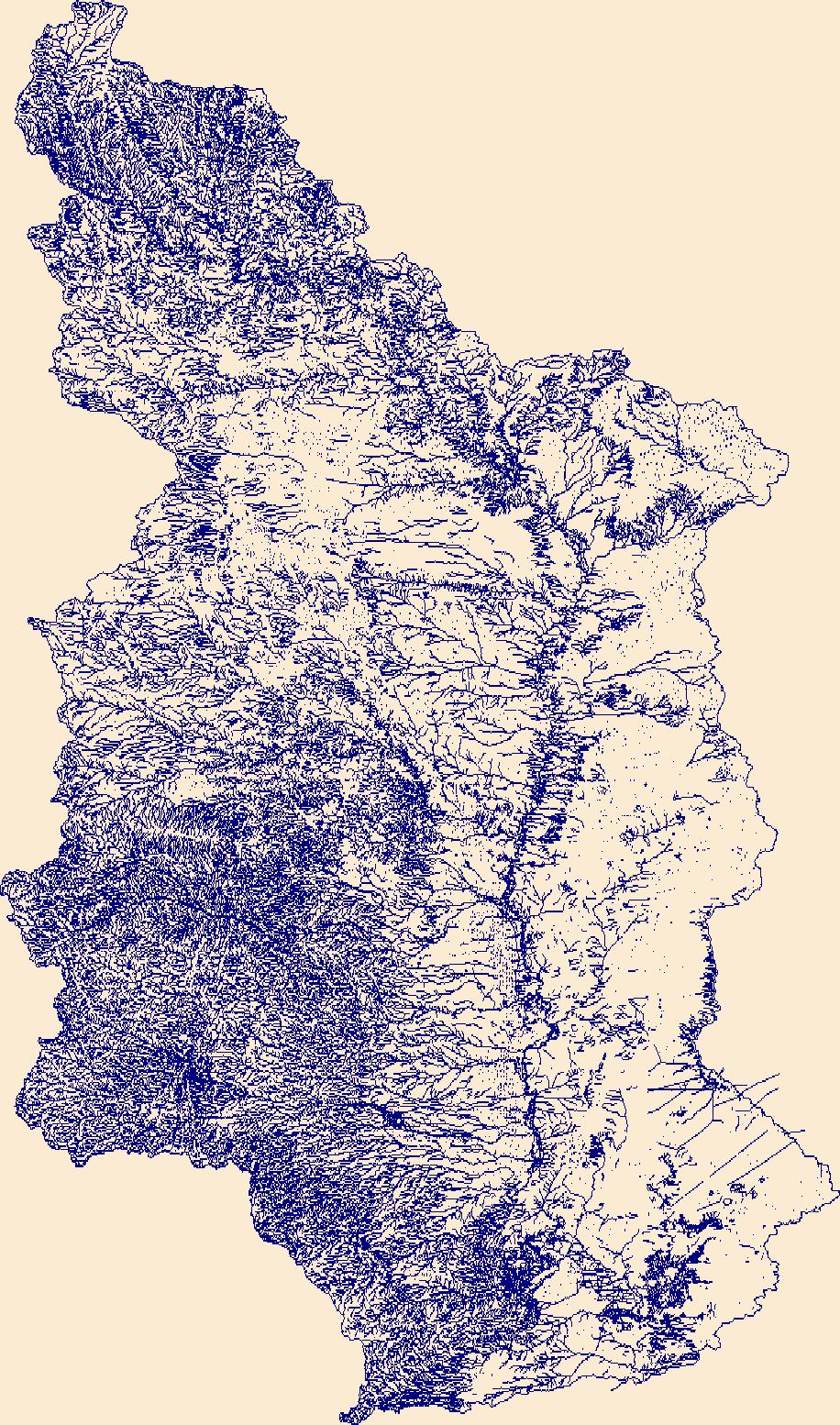
The High Resolution National Hydrography Dataset Plus (NHDPlus HR) is an integrated set of geospatial data layers, including the best available National Hydrography Dataset (NHD), the 10-meter 3D Elevation Program Digital Elevation Model (3DEP DEM), and the National Watershed Boundary Dataset (WBD). The NHDPlus HR combines the NHD, 3DEP DEMs, and WBD to create a stream network with linear referencing, feature naming, "value added attributes" (VAAs), elevation-derived catchments, and other features for hydrologic data analysis. The stream network with linear referencing is a system of data relationships applied to hydrographic systems so that one stream reach "flows" into another and "events" can be tied to and traced...
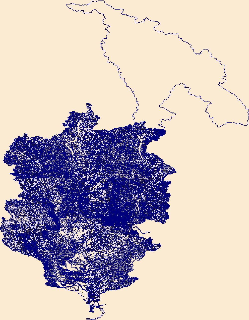
The High Resolution National Hydrography Dataset Plus (NHDPlus HR) is an integrated set of geospatial data layers, including the best available National Hydrography Dataset (NHD), the 10-meter 3D Elevation Program Digital Elevation Model (3DEP DEM), and the National Watershed Boundary Dataset (WBD). The NHDPlus HR combines the NHD, 3DEP DEMs, and WBD to create a stream network with linear referencing, feature naming, "value added attributes" (VAAs), elevation-derived catchments, and other features for hydrologic data analysis. The stream network with linear referencing is a system of data relationships applied to hydrographic systems so that one stream reach "flows" into another and "events" can be tied to and traced...

The High Resolution National Hydrography Dataset Plus (NHDPlus HR) is an integrated set of geospatial data layers, including the best available National Hydrography Dataset (NHD), the 10-meter 3D Elevation Program Digital Elevation Model (3DEP DEM), and the National Watershed Boundary Dataset (WBD). The NHDPlus HR combines the NHD, 3DEP DEMs, and WBD to create a stream network with linear referencing, feature naming, "value added attributes" (VAAs), elevation-derived catchments, and other features for hydrologic data analysis. The stream network with linear referencing is a system of data relationships applied to hydrographic systems so that one stream reach "flows" into another and "events" can be tied to and traced...
|

|