Filters: Tags: flora (X)
177 results (87ms)|
Filters
Date Range
Extensions Types Contacts
Categories Tag Types
|
Synopsis: One of the most important trends in biodiversity is the increase in the number of species as the land area increases. Botanists call this trend the species-area relationship, and it is one of the most dependable rules in biology. Many human activities on the landscape, influence species directly by disrupting their habitat, by removing other organisms upon which they may depend, or by injuring or killing them. Less direct, but in many cases equally as disruptive to the native species of an area, is the introduction of exotic species. In this study, data from published studies on flora over the last two centuries was used to produce contour maps of flora size and percentage of exotic species in North America...
Categories: Publication;
Types: Citation,
Map Service,
OGC WFS Layer,
OGC WMS Layer,
OGC WMS Service;
Tags: Land use configuration,
Landscape fragmentation,
North America,
biodiversity,
flora,
This data set contains imagery from the National Agriculture Imagery Program (NAIP). The NAIP program is administered by USDA FSA and has been established to support two main FSA strategic goals centered on agricultural production. These are, increase stewardship of America's natural resources while enhancing the environment, and to ensure commodities are procured and distributed effectively and efficiently to increase food security. The NAIP program supports these goals by acquiring and providing ortho imagery that has been collected during the agricultural growing season in the U.S. The NAIP ortho imagery is tailored to meet FSA requirements and is a fundamental tool used to support FSA farm and conservation programs....
This data set contains imagery from the National Agriculture Imagery Program (NAIP). The NAIP program is administered by USDA FSA and has been established to support two main FSA strategic goals centered on agricultural production. These are increase stewardship of America's natural resources while enhancing the environment, and to ensure commodities are procured and distributed effectively and efficiently to increase food security. The NAIP program supports these goals by acquiring and providing ortho imagery that has been collected during the agricultural growing season in the U.S. The NAIP ortho imagery is tailored to meet FSA requirements and is a fundamental tool used to support FSA farm and conservation programs....
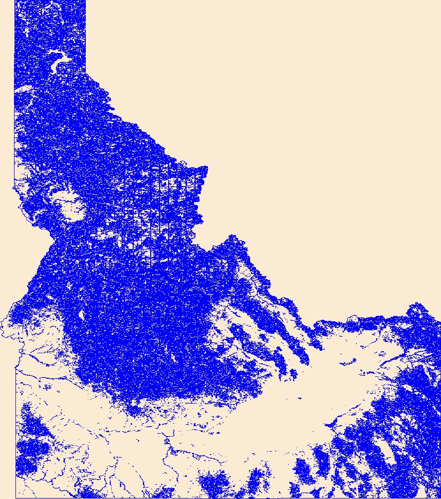
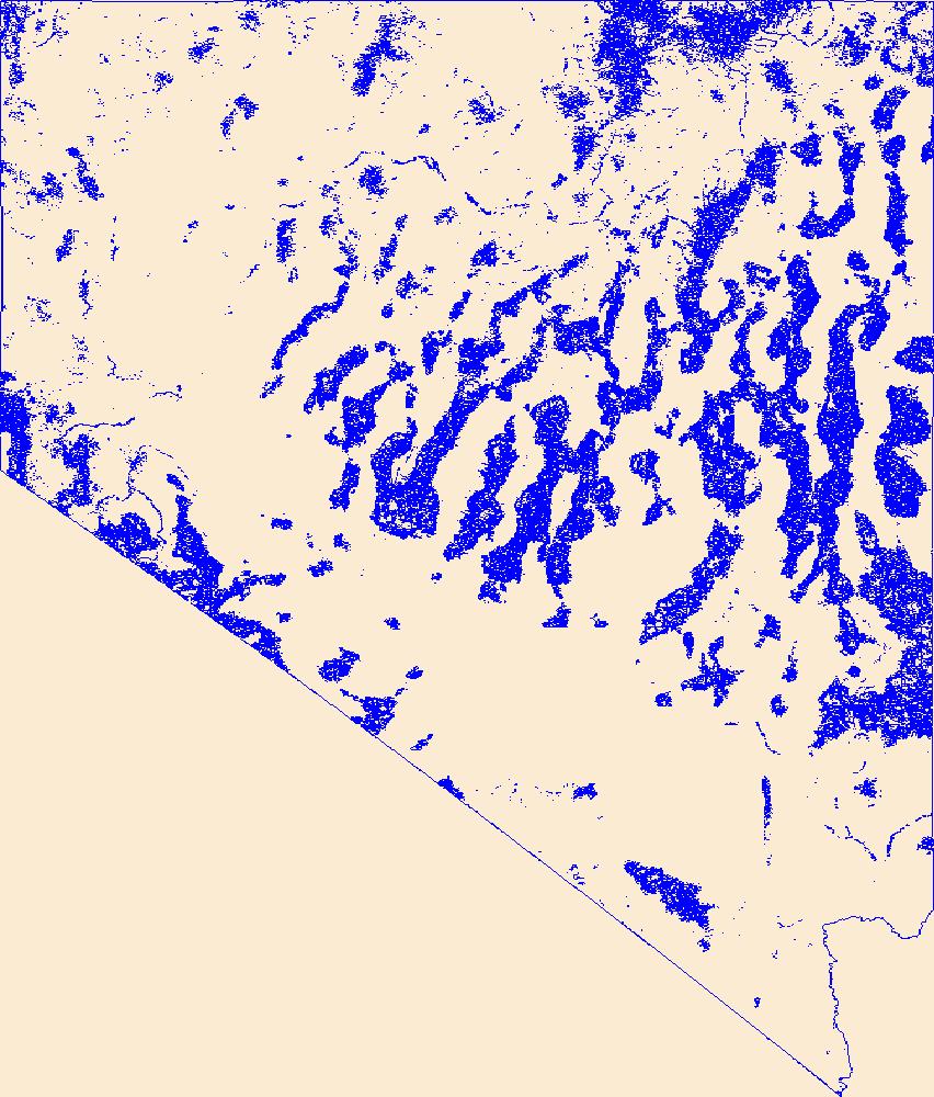
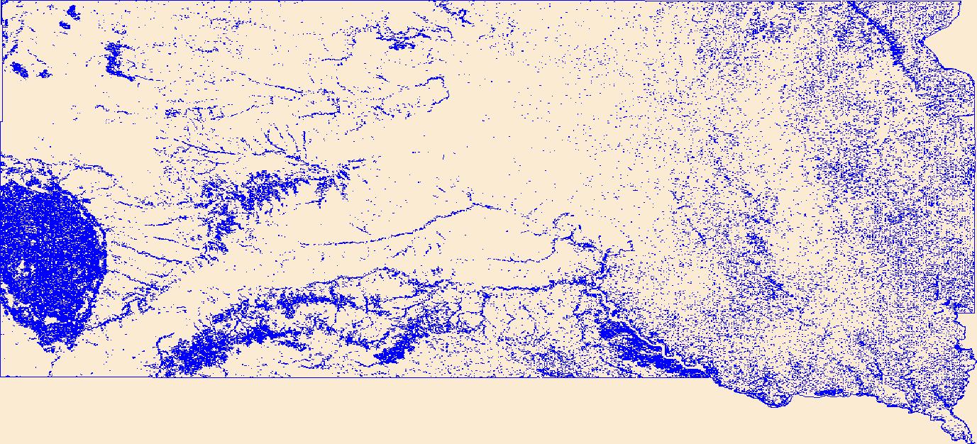
Geospatial data that is a derivative land cover product depicting woodland on topographic maps.
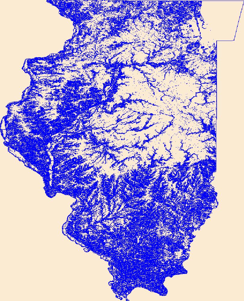
Geospatial data that is a derivative land cover product depicting woodland on topographic maps.
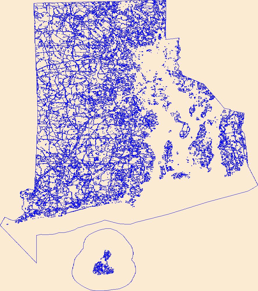
Geospatial data that is a derivative land cover product depicting woodland on topographic maps.

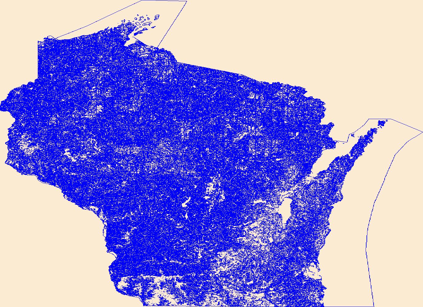
Geospatial data that is a derivative land cover product depicting woodland on topographic maps.
Geospatial data that is a derivative land cover product depicting woodland on topographic maps.

Geospatial data that is a derivative land cover product depicting woodland on topographic maps.

Geospatial data that is a derivative land cover product depicting woodland on topographic maps.
Contains ca 9000 points representing Wyoming collection sites for plant specimens in the collections of the Rocky Mountain Herbarium (RM). The point coverage is tied to a database of about 190,000 records representing about 1/4 of the holdings of the RM. Collection dates for these records range from the 1860's to 1997, and collections sites are located in general to the nearest section, although the locations of most sites are at best approximate.
Types: Offline Data;
Tags: Department of Botany,
University of Wyoming,
WLCI Related Publication,
Wyoming,
biota,
Symphyotrichum expansum (Puepp ex Spreng.) Nesom is reported new to Utah from the Escalante River drainage. A major range extension is reported for Aralia racemosa L. in the Escalante drainage, and additional populations are reported of the rare species Imperata brevifolia Vasey in Utah, including the 1st record for the Grand Staircase--Escalante National Monument. Heterotheca grandiflora Nutt. is reported new to north central Arizona. New locations and notes on an additional 22 rare species in Glen Canyon National Recreation Area are listed. Published in Western North American Naturalist, volume 65, issue 1, on pages 103 - 111, in 2005.
Categories: Publication;
Types: Citation,
Journal Citation;
Tags: Arizona,
Glen Canyon National Recreation Area,
Utah,
Western North American Naturalist,
dispersal,
As one of the cornerstones of the U.S. Geological Survey's (USGS) National Geospatial Program, The National Map is a collaborative effort among the USGS and other Federal, State, and local partners to improve and deliver topographic information for the Nation. It has many uses ranging from recreation to scientific analysis to emergency response. The National Map is easily accessible for display on the Web, as products and services, and as downloadable data. The geographic information available from The National Map includes orthoimagery (aerial photographs), elevation, geographic names, hydrography, boundaries, transportation, structures, and land cover.
Geospatial data that is a derivative land cover product depicting woodland on topographic maps.
The Rare Plant Occurrences geodatabase is an element occurrence data system with about 10,000 records of rare plant observations on the 6 northernmost California Channel Islands. It is a live database created with the purpose of bringing together in one space all discoverable historic and current information on the localities of about 180 rare and sensitive plants of the northern Channel Islands, California. The list of taxa was developed from agency databases, supplemented with a 1-day workshop with area botanists in 1993; the list has been updated as new information emerges. Data records range from the late 1880s to 2019, including information from herbarium labels, published and unpublished literature, agency...
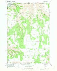
USGS Historical Quadrangle in GeoPDF.
This dataset represents GeoBOB (geographic biotic observations) botany sites from 1800s through present joined with Federal and State status data within the Western Oregon Plan Revision (WOPR) area. This data is a set of Bureau Sensitive or Bureau Assessment Species observation site polygons considered relevant for evaluation in resource management planning.BLM: (Bureau of Land Management) WOPR: (Western Oregon Plan Revision) PRMP: (Proposed Resource Management Plan) VEG: (Vegetation) GeoBOB: (Geographic Biotic Observations) This data is a PRMP release version of the data veg_m3_a_flora_sites_poly.
This portion of the USGS data release presents eelgrass distributions derived from towed underwater video surveys of the Nisqually River delta, Washington in 2014 (USGS Field Activity Number D-01-14-PS). Eelgrass data were collected from the R/V George Davidson equipped with a towed underwater video system and global navigation satellite system (GNSS) receiver. The underwater video system consisted of a Splashcam standard definition video camera connected to a Sony GV-D1000 video monitor and tape recorder. Positioning of the survey vessel was determined at 0.5 Hz intervals using a Garmin 76c GNSS receiver. The positioning data from the GNSS were encoded onto the audio track of the digital video recording using Red...
This data set contains imagery from the National Agriculture Imagery Program (NAIP). The NAIP program is administered by USDA FSA and has been established to support two main FSA strategic goals centered on agricultural production. These are, increase stewardship of America's natural resources while enhancing the environment, and to ensure commodities are procured and distributed effectively and efficiently to increase food security. The NAIP program supports these goals by acquiring and providing ortho imagery that has been collected during the agricultural growing season in the U.S. The NAIP ortho imagery is tailored to meet FSA requirements and is a fundamental tool used to support FSA farm and conservation programs....
Geospatial data that is a derivative land cover product depicting woodland on topographic maps.
|

|
