Filters: Tags: forest (X) > Date Range: {"choice":"year"} (X)
199 results (113ms)|
Filters
Date Types (for Date Range)
Types
Contacts
Categories Tag Types
|
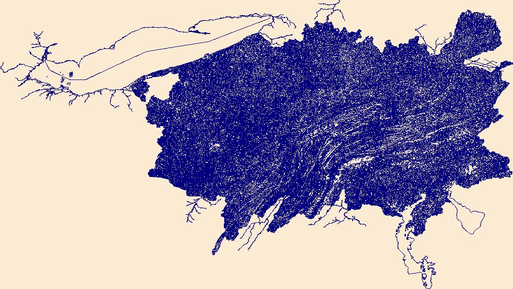
Forest Retention Index classes for the southeastern United States at 2040 were processed using the Forest Retention Decision Tree and rendered on a 30-meter by 30-meter grid. The Forest Retention Index is used only for current forestland, identified using National Land Cover Database 2011. Many datasets were used as inputs for the Forest Retention Decision Tree, and they can be grouped into five broad categories: Protected, Tier 1 Priority, Tier 2 Priority, Threats to Forest Retention, and Socio-Economic Value of Forests. Protected datasets include Protected Areas Database-United States, National Conservation Easement Database, state-maintained databases, and private datasets volunteered by conservation partners....
Categories: Data;
Types: ArcGIS REST Map Service,
ArcGIS Service Definition,
Downloadable,
Map Service;
Tags: Alabama,
Arkansas,
Florida,
Georgia,
Illinois,
The balance between economic needs and natural resource conservation will become more tenuous in the future as a result of a myriad of environmental stressors. We propose a methodology that can help guide forest management practices whenever adequate species locational data and quality forest or land use data exist. More specifically, the results of this study can be used to evaluate alternative land and silviculture management scenarios in terms of creating or maintaining high-quality forest habitat for a specific species. We used data collected on radiotelemetered black bears from 1988 to 2015 to develop a regional habitat model throughout Louisiana and Arkansas using Mahalanobis distance (D2) statistic. We created...
Categories: Data;
Tags: Arkansas,
Consevation design,
LCC Network Science Catalog,
Louisiana,
Mahalanobis distance,
This data represents an assessment of forest composition used in the ecological assessment of upland hardwood systems by the GCPO LCC. We used a combination of remote sensing products including 2011 National Land Cover Database (NLCD) forest classes and the 2011 MAV forest classification layer produced by the Lower Mississippi Valley Joint Venture to delineate patches of all forest types in the GCPO LCC. We used NLCD as the primary data source when assessing forests outside the GCPO LCC MAV subgeography, and the LMVJV forest classification as the primary data source for forest assessment within the MAV. NLCD was developed using 2011 Landsat TM imagery, with forest classes including only areas with trees exceeding...
Categories: Data;
Types: ArcGIS REST Map Service,
ArcGIS Service Definition,
Downloadable,
Map Service,
OGC WFS Layer,
OGC WMS Layer,
OGC WMS Service;
Tags: BIOSPHERE,
BIOSPHERE,
Conservation planning,
Data,
EARTH SCIENCE,

USGS National Boundary Dataset (NBD) in Wisconsin State or Territory (published 20240215) GeoPackage
Geospatial data is comprised of government boundaries.
These data were released prior to the October 1, 2016 effective date for the USGS’s policy dictating the review, approval, and release of scientific data as referenced in USGS Survey Manual Chapter 502.8 Fundamental Science Practices: Review and Approval of Scientific Data for Release. These datasets consist of a workspace (folder) containing a collection of gridded datasets plus a personal geodatabase containing several vector datasets. These datasets are designed to be used with the ArcHydro Tools, developed by ESRI in partnership with the U.S. Geological Survey, StreamStats Development Team. The datasets, together with the ArcHydro Tools, allow users to delineate watersheds and compute several watershed characteristics....

The Geographic Names Information System (GNIS) is the Federal standard for geographic nomenclature. The U.S. Geological Survey developed the GNIS for the U.S. Board on Geographic Names, a Federal inter-agency body chartered by public law to maintain uniform feature name usage throughout the Government and to promulgate standard names to the public. The GNIS is the official repository of domestic geographic names data; the official vehicle for geographic names use by all departments of the Federal Government; and the source for applying geographic names to Federal electronic and printed products of all types.
Layers of geospatial data include contours, boundaries, land cover, hydrography, roads, transportation, geographic names, structures, and other selected map features.
Layers of geospatial data include contours, boundaries, land cover, hydrography, roads, transportation, geographic names, structures, and other selected map features.
Types: Citation;
Tags: 7.5 x 7.5 minute,
7_5_Min,
Combined Vector,
Combined Vector,
Combined Vector,
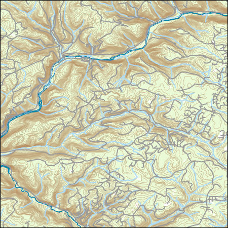
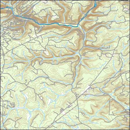
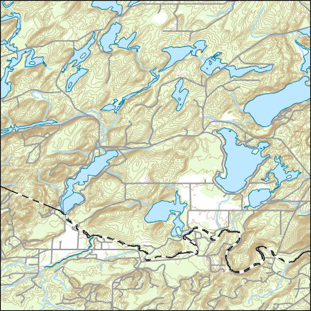
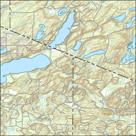
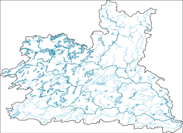
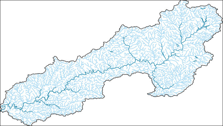
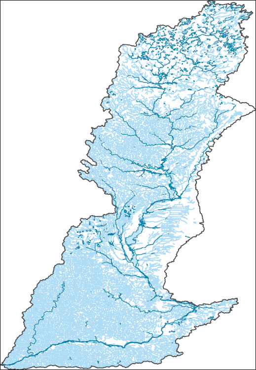
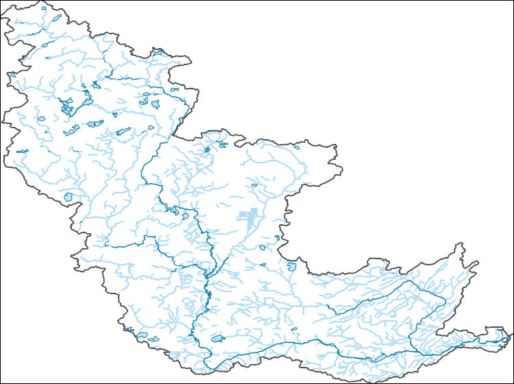
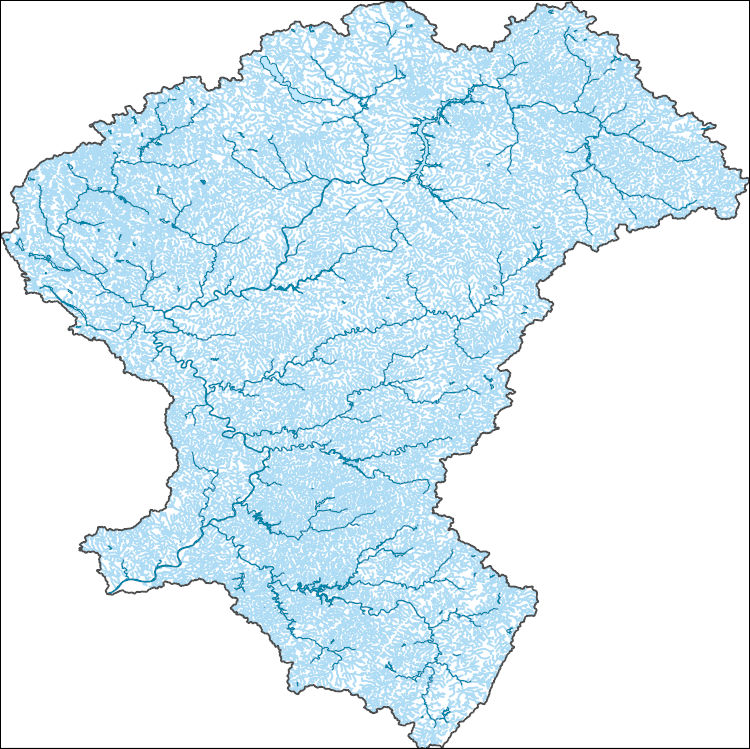
The National Hydrography Dataset (NHD) is a feature-based database that interconnects and uniquely identifies the stream segments or reaches that make up the nation's surface water drainage system. NHD data was originally developed at 1:100,000-scale and exists at that scale for the whole country. This high-resolution NHD, generally developed at 1:24,000/1:12,000 scale, adds detail to the original 1:100,000-scale NHD. (Data for Alaska, Puerto Rico and the Virgin Islands was developed at high-resolution, not 1:100,000 scale.) Local resolution NHD is being developed where partners and data exist. The NHD contains reach codes for networked features, flow direction, names, and centerline representations for areal water...
Layers of geospatial data include contours, boundaries, land cover, hydrography, roads, transportation, geographic names, structures, and other selected map features.
Layers of geospatial data include contours, boundaries, land cover, hydrography, roads, transportation, geographic names, structures, and other selected map features.

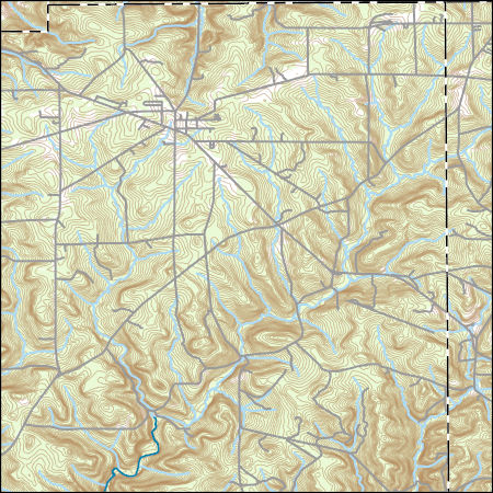
This data represents the map extent for current and historical USGS topographic maps for the United States and Territories, including 1 X 2 Degree, 1 X 1 Degree, 30 X 60 Minute, 15 X 15 Minute, 7.5 X 7.5 Minute, and 3.75 X 3.75 Minute. The grid was generated using ESRI ArcInfo GIS software.
Layers of geospatial data include contours, boundaries, land cover, hydrography, roads, transportation, geographic names, structures, and other selected map features.
Final Report - Executive Summary: This final project report is prepared to summarize the research project titled “Assessing evapotranspiration rate changes for proposed restoration of the forested uplands of the Desert Landscape Conservation Cooperatives (LCC)” for the Desert LCC of the Bureau of Reclamation as a requirement for closing out the project. This report includes the scope of work, summary of research project, results, and conclusions.Among all of the components of the terrestrial water cycle, evapotranspiration (ET) consumes the largest amount of water. Accurate estimation of ET is very important to understand the influence of ET to the hydrologic response of recharge and runoff processes in the water...
Categories: Data,
Publication;
Types: Citation,
Map Service,
OGC WFS Layer,
OGC WMS Layer,
OGC WMS Service;
Tags: 2012,
ATMOSPHERE,
ATMOSPHERE,
ATMOSPHERIC WATER VAPOR,
ATMOSPHERIC WATER VAPOR,
The National Hydrography Dataset (NHD) is a feature-based database that interconnects and uniquely identifies the stream segments or reaches that make up the nation's surface water drainage system. NHD data was originally developed at 1:100,000-scale and exists at that scale for the whole country. This high-resolution NHD, generally developed at 1:24,000/1:12,000 scale, adds detail to the original 1:100,000-scale NHD. (Data for Alaska, Puerto Rico and the Virgin Islands was developed at high-resolution, not 1:100,000 scale.) Local resolution NHD is being developed where partners and data exist. The NHD contains reach codes for networked features, flow direction, names, and centerline representations for areal water...
The National Hydrography Dataset (NHD) is a feature-based database that interconnects and uniquely identifies the stream segments or reaches that make up the nation's surface water drainage system. NHD data was originally developed at 1:100,000-scale and exists at that scale for the whole country. This high-resolution NHD, generally developed at 1:24,000/1:12,000 scale, adds detail to the original 1:100,000-scale NHD. (Data for Alaska, Puerto Rico and the Virgin Islands was developed at high-resolution, not 1:100,000 scale.) Local resolution NHD is being developed where partners and data exist. The NHD contains reach codes for networked features, flow direction, names, and centerline representations for areal water...
The National Hydrography Dataset (NHD) is a feature-based database that interconnects and uniquely identifies the stream segments or reaches that make up the nation's surface water drainage system. NHD data was originally developed at 1:100,000-scale and exists at that scale for the whole country. This high-resolution NHD, generally developed at 1:24,000/1:12,000 scale, adds detail to the original 1:100,000-scale NHD. (Data for Alaska, Puerto Rico and the Virgin Islands was developed at high-resolution, not 1:100,000 scale.) Local resolution NHD is being developed where partners and data exist. The NHD contains reach codes for networked features, flow direction, names, and centerline representations for areal water...
The National Hydrography Dataset (NHD) is a feature-based database that interconnects and uniquely identifies the stream segments or reaches that make up the nation's surface water drainage system. NHD data was originally developed at 1:100,000-scale and exists at that scale for the whole country. This high-resolution NHD, generally developed at 1:24,000/1:12,000 scale, adds detail to the original 1:100,000-scale NHD. (Data for Alaska, Puerto Rico and the Virgin Islands was developed at high-resolution, not 1:100,000 scale.) Local resolution NHD is being developed where partners and data exist. The NHD contains reach codes for networked features, flow direction, names, and centerline representations for areal water...
Wildfire refugia are forest patches that are minimally-impacted by fire and provide critical habitats for fire-sensitive species and seed sources for post-fire forest regeneration. Wildfire refugia are relatively understudied, particularly concerning the impacts of subsequent fires on existing refugia. We opportunistically re-visited 122 sites classified in 1994 for a prior fire refugia study, which were burned by two wildfires in 2012 in the Cascade mountains of central Washington, USA. We evaluated the fire effects for historically persistent fire refugia and compared them to the surrounding non-refugial forest matrix. Of 122 total refugial (43 plots) and non-refugial (79 plots) sites sampled following the 2012...
Categories: Publication;
Types: Citation;
Tags: Drought, Fire and Extreme Weather,
Drought, Fire and Extreme Weather,
Fire,
Fires,
Forest,
The National Hydrography Dataset (NHD) is a feature-based database that interconnects and uniquely identifies the stream segments or reaches that make up the nation's surface water drainage system. NHD data was originally developed at 1:100,000-scale and exists at that scale for the whole country. This high-resolution NHD, generally developed at 1:24,000/1:12,000 scale, adds detail to the original 1:100,000-scale NHD. (Data for Alaska, Puerto Rico and the Virgin Islands was developed at high-resolution, not 1:100,000 scale.) Local resolution NHD is being developed where partners and data exist. The NHD contains reach codes for networked features, flow direction, names, and centerline representations for areal water...
|

|
