Filters
Date Range
Extensions
Types
Contacts
Categories
Tag Types
Tag Schemes
|
The Geographic Names Information System (GNIS) is the Federal standard for geographic nomenclature. The U.S. Geological Survey developed the GNIS for the U.S. Board on Geographic Names, a Federal inter-agency body chartered by public law to maintain uniform feature name usage throughout the Government and to promulgate standard names to the public. The GNIS is the official repository of domestic geographic names data; the official vehicle for geographic names use by all departments of the Federal Government; and the source for applying geographic names to Federal electronic and printed products of all types.
Tags: Antarctica,
Antarctica,
BGN,
Baker,
Benton, All tags...
Board on Geographic Names,
Borough,
Census Area,
Clackamas,
Clatsop,
Columbia,
Commonwealth,
Coos,
County,
Crook,
Curry,
Deschutes,
District,
Douglas,
Downloadable Data,
Feature class,
Feature coordinates,
Feature county,
Feature description,
Feature designation,
Feature history,
Feature indentification,
Feature name,
Feature state,
GNIS,
Geographic Names,
Geographic Names Domestic Names,
Geographic Names Information System,
Geographic feature,
Geographic name,
Geographical feature,
Geographical name,
Gilliam,
Grant,
Harney,
Hood River,
Jackson,
Jefferson,
Josephine,
Klamath,
Lake,
Lane,
Lincoln,
Linn,
Malheur,
Marion,
Morrow,
Multnomah,
Municipio,
National Geographic Names Information System (GNIS),
National Geographic Names Information System (GNIS),
OR,
Official feature name,
Oregon,
Outlying Area,
Parish,
Place name,
Polk,
Populated Place,
Sherman,
State,
TXT (pipes),
Territories,
Territory,
Tillamook,
Topographic Map,
U.S. Board on Geographic Names,
U.S. Geological Survey,
US,
USA,
USBGN,
USGS,
UTF-8 Pipe Delimited Text File nan,
Umatilla,
Union,
United States,
United States,
United States,
Variant name,
Wallowa,
Wasco,
Washington,
Wheeler,
Yamhill,
antarctic,
database,
economy,
environment,
feature,
gazetteer,
geographic,
geographic names,
geographical,
geography,
geospatial,
imageryBaseMapsEarthCover,
inlandWaters,
location,
map,
name,
place,
placename,
society,
structure,
topographic map,
toponymy, Fewer tags

The Geographic Names Information System (GNIS) is the Federal standard for geographic nomenclature. The U.S. Geological Survey developed the GNIS for the U.S. Board on Geographic Names, a Federal inter-agency body chartered by public law to maintain uniform feature name usage throughout the Government and to promulgate standard names to the public. The GNIS is the official repository of domestic geographic names data; the official vehicle for geographic names use by all departments of the Federal Government; and the source for applying geographic names to Federal electronic and printed products of all types.
Tags: AS,
American Samoa,
Antarctica,
Antarctica,
BGN, All tags...
Board on Geographic Names,
Borough,
Census Area,
Commonwealth,
County,
District,
Downloadable Data,
Eastern,
Feature class,
Feature coordinates,
Feature county,
Feature description,
Feature designation,
Feature history,
Feature indentification,
Feature name,
Feature state,
GNIS,
Geographic Names,
Geographic Names Federal Codes,
Geographic Names Information System,
Geographic feature,
Geographic name,
Geographical feature,
Geographical name,
Manu'a,
Municipio,
National Geographic Names Information System (GNIS),
National Geographic Names Information System (GNIS),
Official feature name,
Outlying Area,
Parish,
Place name,
Populated Place,
Rose Island,
State,
Swains Island,
TXT (pipes),
Territories,
Territory,
Topographic Map,
U.S. Board on Geographic Names,
U.S. Geological Survey,
US,
USA,
USBGN,
USGS,
UTF-8 Pipe Delimited Text File nan,
United States,
United States,
United States,
Variant name,
Western,
antarctic,
database,
economy,
environment,
feature,
gazetteer,
geographic,
geographic names,
geographical,
geography,
geospatial,
imageryBaseMapsEarthCover,
inlandWaters,
location,
map,
name,
place,
placename,
society,
structure,
topographic map,
toponymy, Fewer tags

The Geographic Names Information System (GNIS) is the Federal standard for geographic nomenclature. The U.S. Geological Survey developed the GNIS for the U.S. Board on Geographic Names, a Federal inter-agency body chartered by public law to maintain uniform feature name usage throughout the Government and to promulgate standard names to the public. The GNIS is the official repository of domestic geographic names data; the official vehicle for geographic names use by all departments of the Federal Government; and the source for applying geographic names to Federal electronic and printed products of all types.
Tags: Antarctica,
Antarctica,
BGN,
Board on Geographic Names,
Borough, All tags...
Census Area,
Commonwealth,
County,
District,
Downloadable Data,
Feature class,
Feature coordinates,
Feature county,
Feature description,
Feature designation,
Feature history,
Feature indentification,
Feature name,
Feature state,
GNIS,
Geographic Names,
Geographic Names Domestic Names,
Geographic Names Information System,
Geographic feature,
Geographic name,
Geographical feature,
Geographical name,
MP,
Municipio,
National Geographic Names Information System (GNIS),
National Geographic Names Information System (GNIS),
Northern Islands,
Northern Mariana Islands,
Official feature name,
Outlying Area,
Parish,
Place name,
Populated Place,
Rota,
Saipan,
State,
TXT (pipes),
Territories,
Territory,
Tinian,
Topographic Map,
U.S. Board on Geographic Names,
U.S. Geological Survey,
US,
USA,
USBGN,
USGS,
UTF-8 Pipe Delimited Text File nan,
United States,
United States,
United States,
Variant name,
antarctic,
database,
economy,
environment,
feature,
gazetteer,
geographic,
geographic names,
geographical,
geography,
geospatial,
imageryBaseMapsEarthCover,
inlandWaters,
location,
map,
name,
place,
placename,
society,
structure,
topographic map,
toponymy, Fewer tags
The Geographic Names Information System (GNIS) is the Federal standard for geographic nomenclature. The U.S. Geological Survey developed the GNIS for the U.S. Board on Geographic Names, a Federal inter-agency body chartered by public law to maintain uniform feature name usage throughout the Government and to promulgate standard names to the public. The GNIS is the official repository of domestic geographic names data; the official vehicle for geographic names use by all departments of the Federal Government; and the source for applying geographic names to Federal electronic and printed products of all types.
Tags: Antarctica,
Antarctica,
BGN,
Board on Geographic Names,
Borough, All tags...
Census Area,
Commonwealth,
County,
District,
Downloadable Data,
Feature class,
Feature coordinates,
Feature county,
Feature description,
Feature designation,
Feature history,
Feature indentification,
Feature name,
Feature state,
GNIS,
GU,
Geographic Names,
Geographic Names Federal Codes,
Geographic Names Information System,
Geographic feature,
Geographic name,
Geographical feature,
Geographical name,
Guam,
Guam,
Municipio,
National Geographic Names Information System (GNIS),
National Geographic Names Information System (GNIS),
Official feature name,
Outlying Area,
Parish,
Place name,
Populated Place,
State,
TXT (pipes),
Territories,
Territory,
Topographic Map,
U.S. Board on Geographic Names,
U.S. Geological Survey,
US,
USA,
USBGN,
USGS,
UTF-8 Pipe Delimited Text File nan,
United States,
United States,
United States,
Variant name,
antarctic,
database,
economy,
environment,
feature,
gazetteer,
geographic,
geographic names,
geographical,
geography,
geospatial,
imageryBaseMapsEarthCover,
inlandWaters,
location,
map,
name,
place,
placename,
society,
structure,
topographic map,
toponymy, Fewer tags

These data were compiled for the National Park Service and Upper Colorado River Endangered Fish Recovery Program. Objective(s) of our study were to resurvey previously established cross sections on the Yampa and Little Snake rivers in the Deerlodge Park area to document changes in channel width, depth, and cross-sectional area. A secondary purpose of this study was to document the location of the cross-section endpoints using modern Global Positioning System (GPS) measurements so that future researchers may easily replicate these surveys. These data represent the 2017 resurvey coordinates and elevations of previously established cross sections on the Little Snake and Yampa rivers. These data were collected in Lily...
Categories: Data;
Tags: Colorado,
Deerlodge Park,
Dinosaur National Monument,
GPS measurement,
Geography, All tags...
Information Sciences,
Lily Park,
Little Snake River,
Remote Sensing,
USGS Science Data Catalog (SDC),
Yampa River,
bathymetry,
bathymetry measurement,
channel change,
channel depth,
channel width,
cross section endpoint coordinates,
cross section topography,
cross sections,
cross-sectional area,
data release,
elevation,
elevation,
horizontal coordinates,
inlandWaters,
map coordinate systems,
real-time kinematic GPS positioning,
resurvey coordinates,
river reaches,
topography, Fewer tags

On May 18, 1980, Mount St. Helens, Washington, exploded in a spectacular and devastating eruption that resulted in previously unimaginable events that drastically altered the mountain and the surrounding area. One unprecedented event was the collapse of the summit and north flank of the volcano forming a huge landslide known as the ‘debris avalanche’ with a total volume of about 2.5 km3 (3.3 billion cubic yards). The debris avalanche swept around and up ridges to the north, but most of it turned westward as far as 23 km (14 mi) down the valley of the North Fork Toutle River and formed a hummocky deposit. This had a profound effect on the topography of the area, including transforming the summit cone of the volcano...
Tags: Cascade Range,
Debris avalanche,
Deposit morphology,
Geography,
Geology, All tags...
Mount St. Helens,
Pacific Northwest,
Paleo topography,
Topography,
USGS Science Data Catalog (SDC),
United States of America,
Volcano,
Volcanology,
Washington,
elevation,
explosive eruption, Fewer tags

Mangrove inventory data from J.N. Ding Darling National Wildlife Refuge, Sanibel Island, Florida, USA collected in 2016 and 2017. Plot data includes X and Y downed dead wood count, mangrove species information and site descriptions. Tree data includes the three species found on the refuge: Avicennia germinans (Black mangroves), Laguncularia racemosa (White mangroves) and Rhizophora mangle (Red mangroves). They were inventoried for diameter at breast height (DBH), height, and dead status.
Categories: Data;
Tags: Allometry,
Biomass,
Carbon Sinks,
Climatology,
Ecology, All tags...
Ecosystem Management,
Field Inventory and Monitoring,
Florida,
Forestry,
Geography,
Mangroves,
Sanibel,
USGS Science Data Catalog (SDC),
United States, Fewer tags

The Geographic Names Information System (GNIS) is the Federal standard for geographic nomenclature. The U.S. Geological Survey developed the GNIS for the U.S. Board on Geographic Names, a Federal inter-agency body chartered by public law to maintain uniform feature name usage throughout the Government and to promulgate standard names to the public. The GNIS is the official repository of domestic geographic names data; the official vehicle for geographic names use by all departments of the Federal Government; and the source for applying geographic names to Federal electronic and printed products of all types.
Tags: AK,
Alaska,
Aleutians East,
Aleutians West,
Anchorage, All tags...
Antarctica,
Antarctica,
BGN,
Bethel,
Board on Geographic Names,
Borough,
Bristol Bay,
Census Area,
Chugach,
Commonwealth,
Copper River,
County,
Denali,
Dillingham,
District,
Downloadable Data,
Esri File GeoDatabase 10,
Fairbanks North Star,
Feature class,
Feature coordinates,
Feature county,
Feature description,
Feature designation,
Feature history,
Feature indentification,
Feature name,
Feature state,
FileGDB,
GNIS,
Geographic Names,
Geographic Names Full Model,
Geographic Names Information System,
Geographic feature,
Geographic name,
Geographical feature,
Geographical name,
Haines,
Hoonah-Angoon,
Juneau,
Kenai Peninsula,
Ketchikan Gateway,
Kodiak Island,
Kusilvak,
Lake and Peninsula,
Matanuska-Susitna,
Municipio,
National Geographic Names Information System (GNIS),
National Geographic Names Information System (GNIS),
Nome,
North Slope,
Northwest Arctic,
Official feature name,
Outlying Area,
Parish,
Petersburg,
Place name,
Populated Place,
Prince of Wales-Hyder,
Sitka,
Skagway,
Southeast Fairbanks,
State,
Territories,
Territory,
Topographic Map,
U.S. Board on Geographic Names,
U.S. Geological Survey,
US,
USA,
USBGN,
USGS,
United States,
United States,
United States,
Variant name,
Wrangell,
Yakutat,
Yukon-Koyukuk,
antarctic,
database,
economy,
environment,
feature,
gazetteer,
geographic,
geographic names,
geographical,
geography,
geospatial,
imageryBaseMapsEarthCover,
inlandWaters,
location,
map,
name,
place,
placename,
society,
structure,
topographic map,
toponymy, Fewer tags
The Geographic Names Information System (GNIS) is the Federal standard for geographic nomenclature. The U.S. Geological Survey developed the GNIS for the U.S. Board on Geographic Names, a Federal inter-agency body chartered by public law to maintain uniform feature name usage throughout the Government and to promulgate standard names to the public. The GNIS is the official repository of domestic geographic names data; the official vehicle for geographic names use by all departments of the Federal Government; and the source for applying geographic names to Federal electronic and printed products of all types.
Tags: Allen,
Anderson,
Antarctica,
Antarctica,
Atchison, All tags...
BGN,
Barber,
Barton,
Board on Geographic Names,
Borough,
Bourbon,
Brown,
Butler,
Census Area,
Chase,
Chautauqua,
Cherokee,
Cheyenne,
Clark,
Clay,
Cloud,
Coffey,
Comanche,
Commonwealth,
County,
Cowley,
Crawford,
Decatur,
Dickinson,
District,
Doniphan,
Douglas,
Downloadable Data,
Edwards,
Elk,
Ellis,
Ellsworth,
Esri File GeoDatabase 10,
Feature class,
Feature coordinates,
Feature county,
Feature description,
Feature designation,
Feature history,
Feature indentification,
Feature name,
Feature state,
FileGDB,
Finney,
Ford,
Franklin,
GNIS,
Geary,
Geographic Names,
Geographic Names Full Model,
Geographic Names Information System,
Geographic feature,
Geographic name,
Geographical feature,
Geographical name,
Gove,
Graham,
Grant,
Gray,
Greeley,
Greenwood,
Hamilton,
Harper,
Harvey,
Haskell,
Hodgeman,
Jackson,
Jefferson,
Jewell,
Johnson,
KS,
Kansas,
Kearny,
Kingman,
Kiowa,
Labette,
Lane,
Leavenworth,
Lincoln,
Linn,
Logan,
Lyon,
Marion,
Marshall,
McPherson,
Meade,
Miami,
Mitchell,
Montgomery,
Morris,
Morton,
Municipio,
National Geographic Names Information System (GNIS),
National Geographic Names Information System (GNIS),
Nemaha,
Neosho,
Ness,
Norton,
Official feature name,
Osage,
Osborne,
Ottawa,
Outlying Area,
Parish,
Pawnee,
Phillips,
Place name,
Populated Place,
Pottawatomie,
Pratt,
Rawlins,
Reno,
Republic,
Rice,
Riley,
Rooks,
Rush,
Russell,
Saline,
Scott,
Sedgwick,
Seward,
Shawnee,
Sheridan,
Sherman,
Smith,
Stafford,
Stanton,
State,
Stevens,
Sumner,
Territories,
Territory,
Thomas,
Topographic Map,
Trego,
U.S. Board on Geographic Names,
U.S. Geological Survey,
US,
USA,
USBGN,
USGS,
United States,
United States,
United States,
Variant name,
Wabaunsee,
Wallace,
Washington,
Wichita,
Wilson,
Woodson,
Wyandotte,
antarctic,
database,
economy,
environment,
feature,
gazetteer,
geographic,
geographic names,
geographical,
geography,
geospatial,
imageryBaseMapsEarthCover,
inlandWaters,
location,
map,
name,
place,
placename,
society,
structure,
topographic map,
toponymy, Fewer tags
The Geographic Names Information System (GNIS) is the Federal standard for geographic nomenclature. The U.S. Geological Survey developed the GNIS for the U.S. Board on Geographic Names, a Federal inter-agency body chartered by public law to maintain uniform feature name usage throughout the Government and to promulgate standard names to the public. The GNIS is the official repository of domestic geographic names data; the official vehicle for geographic names use by all departments of the Federal Government; and the source for applying geographic names to Federal electronic and printed products of all types.
Tags: Antarctica,
Antarctica,
Aurora,
BGN,
Beadle, All tags...
Bennett,
Board on Geographic Names,
Bon Homme,
Borough,
Brookings,
Brown,
Brule,
Buffalo,
Butte,
Campbell,
Census Area,
Charles Mix,
Clark,
Clay,
Codington,
Commonwealth,
Corson,
County,
Custer,
Davison,
Day,
Deuel,
Dewey,
District,
Douglas,
Downloadable Data,
Edmunds,
Esri File GeoDatabase 10,
Fall River,
Faulk,
Feature class,
Feature coordinates,
Feature county,
Feature description,
Feature designation,
Feature history,
Feature indentification,
Feature name,
Feature state,
FileGDB,
GNIS,
Geographic Names,
Geographic Names Full Model,
Geographic Names Information System,
Geographic feature,
Geographic name,
Geographical feature,
Geographical name,
Grant,
Gregory,
Haakon,
Hamlin,
Hand,
Hanson,
Harding,
Hughes,
Hutchinson,
Hyde,
Jackson,
Jerauld,
Jones,
Kingsbury,
Lake,
Lawrence,
Lincoln,
Lyman,
Marshall,
McCook,
McPherson,
Meade,
Mellette,
Miner,
Minnehaha,
Moody,
Municipio,
National Geographic Names Information System (GNIS),
National Geographic Names Information System (GNIS),
Official feature name,
Oglala Lakota,
Outlying Area,
Parish,
Pennington,
Perkins,
Place name,
Populated Place,
Potter,
Roberts,
SD,
Sanborn,
South Dakota,
Spink,
Stanley,
State,
Sully,
Territories,
Territory,
Todd,
Topographic Map,
Tripp,
Turner,
U.S. Board on Geographic Names,
U.S. Geological Survey,
US,
USA,
USBGN,
USGS,
Union,
United States,
United States,
United States,
Variant name,
Walworth,
Yankton,
Ziebach,
antarctic,
database,
economy,
environment,
feature,
gazetteer,
geographic,
geographic names,
geographical,
geography,
geospatial,
imageryBaseMapsEarthCover,
inlandWaters,
location,
map,
name,
place,
placename,
society,
structure,
topographic map,
toponymy, Fewer tags
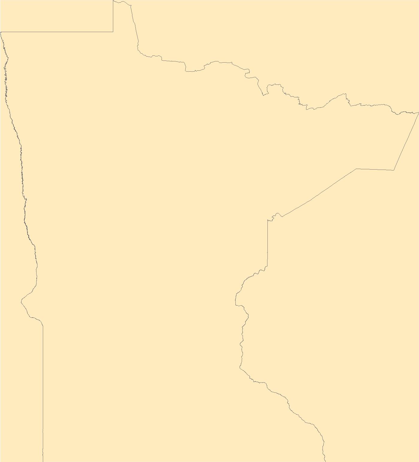
The Geographic Names Information System (GNIS) is the Federal standard for geographic nomenclature. The U.S. Geological Survey developed the GNIS for the U.S. Board on Geographic Names, a Federal inter-agency body chartered by public law to maintain uniform feature name usage throughout the Government and to promulgate standard names to the public. The GNIS is the official repository of domestic geographic names data; the official vehicle for geographic names use by all departments of the Federal Government; and the source for applying geographic names to Federal electronic and printed products of all types.
Tags: Aitkin,
Anoka,
Antarctica,
Antarctica,
BGN, All tags...
Becker,
Beltrami,
Benton,
Big Stone,
Blue Earth,
Board on Geographic Names,
Borough,
Brown,
Carlton,
Carver,
Cass,
Census Area,
Chippewa,
Chisago,
Clay,
Clearwater,
Commonwealth,
Cook,
Cottonwood,
County,
Crow Wing,
Dakota,
District,
Dodge,
Douglas,
Downloadable Data,
Esri File GeoDatabase 10,
Faribault,
Feature class,
Feature coordinates,
Feature county,
Feature description,
Feature designation,
Feature history,
Feature indentification,
Feature name,
Feature state,
FileGDB,
Fillmore,
Freeborn,
GNIS,
Geographic Names,
Geographic Names Full Model,
Geographic Names Information System,
Geographic feature,
Geographic name,
Geographical feature,
Geographical name,
Goodhue,
Grant,
Hennepin,
Houston,
Hubbard,
Isanti,
Itasca,
Jackson,
Kanabec,
Kandiyohi,
Kittson,
Koochiching,
Lac qui Parle,
Lake,
Lake of the Woods,
Le Sueur,
Lincoln,
Lyon,
MN,
Mahnomen,
Marshall,
Martin,
McLeod,
Meeker,
Mille Lacs,
Minnesota,
Morrison,
Mower,
Municipio,
Murray,
National Geographic Names Information System (GNIS),
National Geographic Names Information System (GNIS),
Nicollet,
Nobles,
Norman,
Official feature name,
Olmsted,
Otter Tail,
Outlying Area,
Parish,
Pennington,
Pine,
Pipestone,
Place name,
Polk,
Pope,
Populated Place,
Ramsey,
Red Lake,
Redwood,
Renville,
Rice,
Rock,
Roseau,
Scott,
Sherburne,
Sibley,
St. Louis,
State,
Stearns,
Steele,
Stevens,
Swift,
Territories,
Territory,
Todd,
Topographic Map,
Traverse,
U.S. Board on Geographic Names,
U.S. Geological Survey,
US,
USA,
USBGN,
USGS,
United States,
United States,
United States,
Variant name,
Wabasha,
Wadena,
Waseca,
Washington,
Watonwan,
Wilkin,
Winona,
Wright,
Yellow Medicine,
antarctic,
database,
economy,
environment,
feature,
gazetteer,
geographic,
geographic names,
geographical,
geography,
geospatial,
imageryBaseMapsEarthCover,
inlandWaters,
location,
map,
name,
place,
placename,
society,
structure,
topographic map,
toponymy, Fewer tags
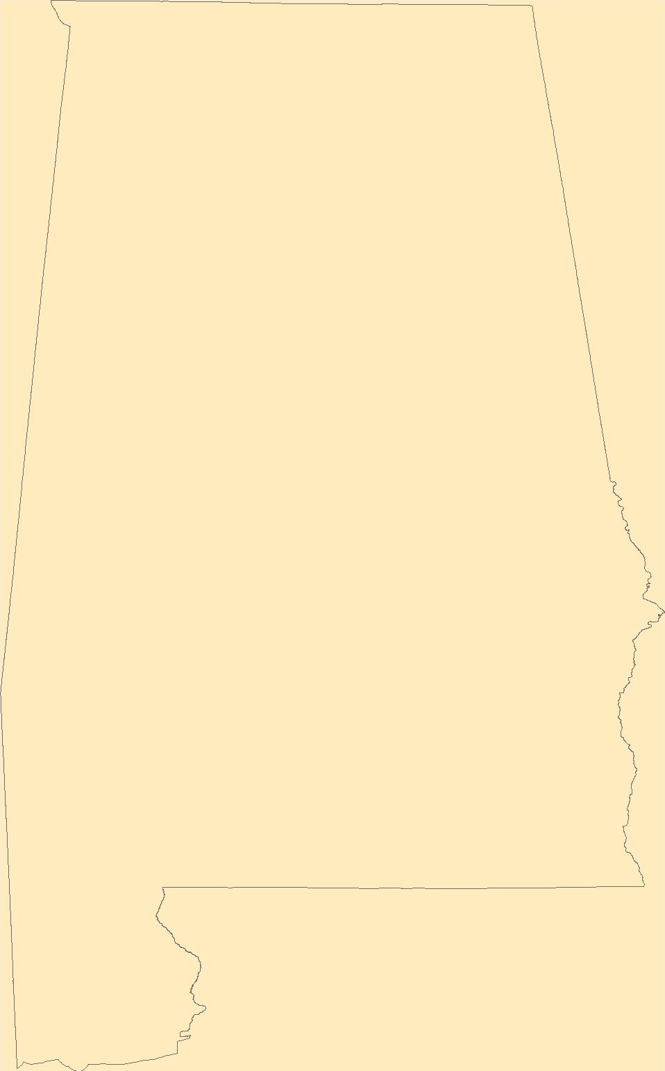
The Geographic Names Information System (GNIS) is the Federal standard for geographic nomenclature. The U.S. Geological Survey developed the GNIS for the U.S. Board on Geographic Names, a Federal inter-agency body chartered by public law to maintain uniform feature name usage throughout the Government and to promulgate standard names to the public. The GNIS is the official repository of domestic geographic names data; the official vehicle for geographic names use by all departments of the Federal Government; and the source for applying geographic names to Federal electronic and printed products of all types.
Tags: AL,
Alabama,
Antarctica,
Antarctica,
Autauga, All tags...
BGN,
Baldwin,
Barbour,
Bibb,
Blount,
Board on Geographic Names,
Borough,
Bullock,
Butler,
Calhoun,
Census Area,
Chambers,
Cherokee,
Chilton,
Choctaw,
Clarke,
Clay,
Cleburne,
Coffee,
Colbert,
Commonwealth,
Conecuh,
Coosa,
County,
Covington,
Crenshaw,
Cullman,
Dale,
Dallas,
DeKalb,
District,
Downloadable Data,
Elmore,
Escambia,
Esri File GeoDatabase 10,
Etowah,
Fayette,
Feature class,
Feature coordinates,
Feature county,
Feature description,
Feature designation,
Feature history,
Feature indentification,
Feature name,
Feature state,
FileGDB,
Franklin,
GNIS,
Geneva,
Geographic Names,
Geographic Names Full Model,
Geographic Names Information System,
Geographic feature,
Geographic name,
Geographical feature,
Geographical name,
Greene,
Hale,
Henry,
Houston,
Jackson,
Jefferson,
Lamar,
Lauderdale,
Lawrence,
Lee,
Limestone,
Lowndes,
Macon,
Madison,
Marengo,
Marion,
Marshall,
Mobile,
Monroe,
Montgomery,
Morgan,
Municipio,
National Geographic Names Information System (GNIS),
National Geographic Names Information System (GNIS),
Official feature name,
Outlying Area,
Parish,
Perry,
Pickens,
Pike,
Place name,
Populated Place,
Randolph,
Russell,
Shelby,
St. Clair,
State,
Sumter,
Talladega,
Tallapoosa,
Territories,
Territory,
Topographic Map,
Tuscaloosa,
U.S. Board on Geographic Names,
U.S. Geological Survey,
US,
USA,
USBGN,
USGS,
United States,
United States,
United States,
Variant name,
Walker,
Washington,
Wilcox,
Winston,
antarctic,
database,
economy,
environment,
feature,
gazetteer,
geographic,
geographic names,
geographical,
geography,
geospatial,
imageryBaseMapsEarthCover,
inlandWaters,
location,
map,
name,
place,
placename,
society,
structure,
topographic map,
toponymy, Fewer tags
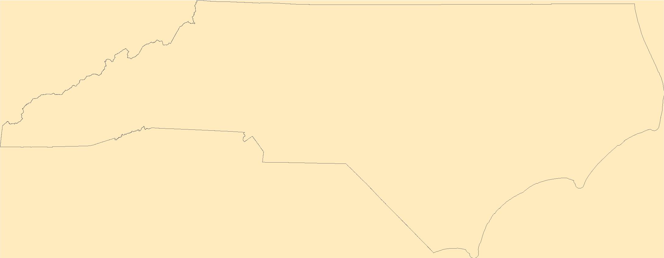
The Geographic Names Information System (GNIS) is the Federal standard for geographic nomenclature. The U.S. Geological Survey developed the GNIS for the U.S. Board on Geographic Names, a Federal inter-agency body chartered by public law to maintain uniform feature name usage throughout the Government and to promulgate standard names to the public. The GNIS is the official repository of domestic geographic names data; the official vehicle for geographic names use by all departments of the Federal Government; and the source for applying geographic names to Federal electronic and printed products of all types.
Tags: Alamance,
Alexander,
Alleghany,
Anson,
Antarctica, All tags...
Antarctica,
Ashe,
Avery,
BGN,
Beaufort,
Bertie,
Bladen,
Board on Geographic Names,
Borough,
Brunswick,
Buncombe,
Burke,
Cabarrus,
Caldwell,
Camden,
Carteret,
Caswell,
Catawba,
Census Area,
Chatham,
Cherokee,
Chowan,
Clay,
Cleveland,
Columbus,
Commonwealth,
County,
Craven,
Cumberland,
Currituck,
Dare,
Davidson,
Davie,
District,
Downloadable Data,
Duplin,
Durham,
Edgecombe,
Esri File GeoDatabase 10,
Feature class,
Feature coordinates,
Feature county,
Feature description,
Feature designation,
Feature history,
Feature indentification,
Feature name,
Feature state,
FileGDB,
Forsyth,
Franklin,
GNIS,
Gaston,
Gates,
Geographic Names,
Geographic Names Full Model,
Geographic Names Information System,
Geographic feature,
Geographic name,
Geographical feature,
Geographical name,
Graham,
Granville,
Greene,
Guilford,
Halifax,
Harnett,
Haywood,
Henderson,
Hertford,
Hoke,
Hyde,
Iredell,
Jackson,
Johnston,
Jones,
Lee,
Lenoir,
Lincoln,
Macon,
Madison,
Martin,
McDowell,
Mecklenburg,
Mitchell,
Montgomery,
Moore,
Municipio,
NC,
Nash,
National Geographic Names Information System (GNIS),
National Geographic Names Information System (GNIS),
New Hanover,
North Carolina,
Northampton,
Official feature name,
Onslow,
Orange,
Outlying Area,
Pamlico,
Parish,
Pasquotank,
Pender,
Perquimans,
Person,
Pitt,
Place name,
Polk,
Populated Place,
Randolph,
Richmond,
Robeson,
Rockingham,
Rowan,
Rutherford,
Sampson,
Scotland,
Stanly,
State,
Stokes,
Surry,
Swain,
Territories,
Territory,
Topographic Map,
Transylvania,
Tyrrell,
U.S. Board on Geographic Names,
U.S. Geological Survey,
US,
USA,
USBGN,
USGS,
Union,
United States,
United States,
United States,
Vance,
Variant name,
Wake,
Warren,
Washington,
Watauga,
Wayne,
Wilkes,
Wilson,
Yadkin,
Yancey,
antarctic,
database,
economy,
environment,
feature,
gazetteer,
geographic,
geographic names,
geographical,
geography,
geospatial,
imageryBaseMapsEarthCover,
inlandWaters,
location,
map,
name,
place,
placename,
society,
structure,
topographic map,
toponymy, Fewer tags
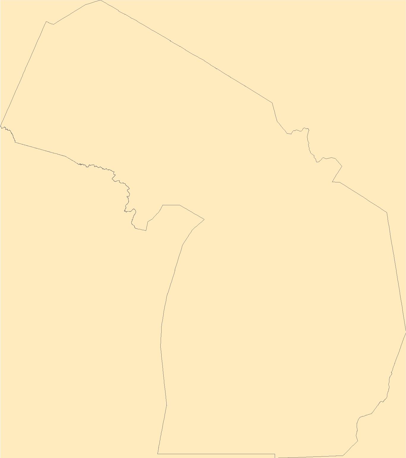
The Geographic Names Information System (GNIS) is the Federal standard for geographic nomenclature. The U.S. Geological Survey developed the GNIS for the U.S. Board on Geographic Names, a Federal inter-agency body chartered by public law to maintain uniform feature name usage throughout the Government and to promulgate standard names to the public. The GNIS is the official repository of domestic geographic names data; the official vehicle for geographic names use by all departments of the Federal Government; and the source for applying geographic names to Federal electronic and printed products of all types.
Tags: Alcona,
Alger,
Allegan,
Alpena,
Antarctica, All tags...
Antarctica,
Antrim,
Arenac,
BGN,
Baraga,
Barry,
Bay,
Benzie,
Berrien,
Board on Geographic Names,
Borough,
Branch,
Calhoun,
Cass,
Census Area,
Charlevoix,
Cheboygan,
Chippewa,
Clare,
Clinton,
Commonwealth,
County,
Crawford,
Delta,
Dickinson,
District,
Downloadable Data,
Eaton,
Emmet,
Esri File GeoDatabase 10,
Feature class,
Feature coordinates,
Feature county,
Feature description,
Feature designation,
Feature history,
Feature indentification,
Feature name,
Feature state,
FileGDB,
GNIS,
Genesee,
Geographic Names,
Geographic Names Full Model,
Geographic Names Information System,
Geographic feature,
Geographic name,
Geographical feature,
Geographical name,
Gladwin,
Gogebic,
Grand Traverse,
Gratiot,
Hillsdale,
Houghton,
Huron,
Ingham,
Ionia,
Iosco,
Iron,
Isabella,
Jackson,
Kalamazoo,
Kalkaska,
Kent,
Keweenaw,
Lake,
Lapeer,
Leelanau,
Lenawee,
Livingston,
Luce,
MI,
Mackinac,
Macomb,
Manistee,
Marquette,
Mason,
Mecosta,
Menominee,
Michigan,
Midland,
Missaukee,
Monroe,
Montcalm,
Montmorency,
Municipio,
Muskegon,
National Geographic Names Information System (GNIS),
National Geographic Names Information System (GNIS),
Newaygo,
Oakland,
Oceana,
Official feature name,
Ogemaw,
Ontonagon,
Osceola,
Oscoda,
Otsego,
Ottawa,
Outlying Area,
Parish,
Place name,
Populated Place,
Presque Isle,
Roscommon,
Saginaw,
Sanilac,
Schoolcraft,
Shiawassee,
St. Clair,
St. Joseph,
State,
Territories,
Territory,
Topographic Map,
Tuscola,
U.S. Board on Geographic Names,
U.S. Geological Survey,
US,
USA,
USBGN,
USGS,
United States,
United States,
United States,
Van Buren,
Variant name,
Washtenaw,
Wayne,
Wexford,
antarctic,
database,
economy,
environment,
feature,
gazetteer,
geographic,
geographic names,
geographical,
geography,
geospatial,
imageryBaseMapsEarthCover,
inlandWaters,
location,
map,
name,
place,
placename,
society,
structure,
topographic map,
toponymy, Fewer tags
The Geographic Names Information System (GNIS) is the Federal standard for geographic nomenclature. The U.S. Geological Survey developed the GNIS for the U.S. Board on Geographic Names, a Federal inter-agency body chartered by public law to maintain uniform feature name usage throughout the Government and to promulgate standard names to the public. The GNIS is the official repository of domestic geographic names data; the official vehicle for geographic names use by all departments of the Federal Government; and the source for applying geographic names to Federal electronic and printed products of all types.
Tags: Alachua,
Antarctica,
Antarctica,
BGN,
Baker, All tags...
Bay,
Board on Geographic Names,
Borough,
Bradford,
Brevard,
Broward,
Calhoun,
Census Area,
Charlotte,
Citrus,
Clay,
Collier,
Columbia,
Commonwealth,
County,
DeSoto,
District,
Dixie,
Downloadable Data,
Duval,
Escambia,
Esri File GeoDatabase 10,
FL,
Feature class,
Feature coordinates,
Feature county,
Feature description,
Feature designation,
Feature history,
Feature indentification,
Feature name,
Feature state,
FileGDB,
Flagler,
Florida,
Franklin,
GNIS,
Gadsden,
Geographic Names,
Geographic Names Full Model,
Geographic Names Information System,
Geographic feature,
Geographic name,
Geographical feature,
Geographical name,
Gilchrist,
Glades,
Gulf,
Hamilton,
Hardee,
Hendry,
Hernando,
Highlands,
Hillsborough,
Holmes,
Indian River,
Jackson,
Jefferson,
Lafayette,
Lake,
Lee,
Leon,
Levy,
Liberty,
Madison,
Manatee,
Marion,
Martin,
Miami-Dade,
Monroe,
Municipio,
Nassau,
National Geographic Names Information System (GNIS),
National Geographic Names Information System (GNIS),
Official feature name,
Okaloosa,
Okeechobee,
Orange,
Osceola,
Outlying Area,
Palm Beach,
Parish,
Pasco,
Pinellas,
Place name,
Polk,
Populated Place,
Putnam,
Santa Rosa,
Sarasota,
Seminole,
St. Johns,
St. Lucie,
State,
Sumter,
Suwannee,
Taylor,
Territories,
Territory,
Topographic Map,
U.S. Board on Geographic Names,
U.S. Geological Survey,
US,
USA,
USBGN,
USGS,
Union,
United States,
United States,
United States,
Variant name,
Volusia,
Wakulla,
Walton,
Washington,
antarctic,
database,
economy,
environment,
feature,
gazetteer,
geographic,
geographic names,
geographical,
geography,
geospatial,
imageryBaseMapsEarthCover,
inlandWaters,
location,
map,
name,
place,
placename,
society,
structure,
topographic map,
toponymy, Fewer tags
The Geographic Names Information System (GNIS) is the Federal standard for geographic nomenclature. The U.S. Geological Survey developed the GNIS for the U.S. Board on Geographic Names, a Federal inter-agency body chartered by public law to maintain uniform feature name usage throughout the Government and to promulgate standard names to the public. The GNIS is the official repository of domestic geographic names data; the official vehicle for geographic names use by all departments of the Federal Government; and the source for applying geographic names to Federal electronic and printed products of all types.
Tags: Albany,
Allegany,
Antarctica,
Antarctica,
BGN, All tags...
Board on Geographic Names,
Borough,
Bronx,
Broome,
Cattaraugus,
Cayuga,
Census Area,
Chautauqua,
Chemung,
Chenango,
Clinton,
Columbia,
Commonwealth,
Cortland,
County,
Delaware,
District,
Downloadable Data,
Dutchess,
Erie,
Esri File GeoDatabase 10,
Essex,
Feature class,
Feature coordinates,
Feature county,
Feature description,
Feature designation,
Feature history,
Feature indentification,
Feature name,
Feature state,
FileGDB,
Franklin,
Fulton,
GNIS,
Genesee,
Geographic Names,
Geographic Names Full Model,
Geographic Names Information System,
Geographic feature,
Geographic name,
Geographical feature,
Geographical name,
Greene,
Hamilton,
Herkimer,
Jefferson,
Kings,
Lewis,
Livingston,
Madison,
Monroe,
Montgomery,
Municipio,
NY,
Nassau,
National Geographic Names Information System (GNIS),
National Geographic Names Information System (GNIS),
New York,
New York,
Niagara,
Official feature name,
Oneida,
Onondaga,
Ontario,
Orange,
Orleans,
Oswego,
Otsego,
Outlying Area,
Parish,
Place name,
Populated Place,
Putnam,
Queens,
Rensselaer,
Richmond,
Rockland,
Saratoga,
Schenectady,
Schoharie,
Schuyler,
Seneca,
St. Lawrence,
State,
Steuben,
Suffolk,
Sullivan,
Territories,
Territory,
Tioga,
Tompkins,
Topographic Map,
U.S. Board on Geographic Names,
U.S. Geological Survey,
US,
USA,
USBGN,
USGS,
Ulster,
United States,
United States,
United States,
Variant name,
Warren,
Washington,
Wayne,
Westchester,
Wyoming,
Yates,
antarctic,
database,
economy,
environment,
feature,
gazetteer,
geographic,
geographic names,
geographical,
geography,
geospatial,
imageryBaseMapsEarthCover,
inlandWaters,
location,
map,
name,
place,
placename,
society,
structure,
topographic map,
toponymy, Fewer tags
The Geographic Names Information System (GNIS) is the Federal standard for geographic nomenclature. The U.S. Geological Survey developed the GNIS for the U.S. Board on Geographic Names, a Federal inter-agency body chartered by public law to maintain uniform feature name usage throughout the Government and to promulgate standard names to the public. The GNIS is the official repository of domestic geographic names data; the official vehicle for geographic names use by all departments of the Federal Government; and the source for applying geographic names to Federal electronic and printed products of all types.
Tags: AK,
Alaska,
Aleutians East,
Aleutians West,
Anchorage, All tags...
Antarctica,
Antarctica,
BGN,
Bethel,
Board on Geographic Names,
Borough,
Bristol Bay,
Census Area,
Chugach,
Commonwealth,
Copper River,
County,
Denali,
Dillingham,
District,
Downloadable Data,
Fairbanks North Star,
Feature class,
Feature coordinates,
Feature county,
Feature description,
Feature designation,
Feature history,
Feature indentification,
Feature name,
Feature state,
GNIS,
GeoPackage,
Geographic Names,
Geographic Names Full Model,
Geographic Names Information System,
Geographic feature,
Geographic name,
Geographical feature,
Geographical name,
Haines,
Hoonah-Angoon,
Juneau,
Kenai Peninsula,
Ketchikan Gateway,
Kodiak Island,
Kusilvak,
Lake and Peninsula,
Matanuska-Susitna,
Municipio,
National Geographic Names Information System (GNIS),
National Geographic Names Information System (GNIS),
Nome,
North Slope,
Northwest Arctic,
Official feature name,
Open Geospatial Consortium GeoPackage 1.2,
Outlying Area,
Parish,
Petersburg,
Place name,
Populated Place,
Prince of Wales-Hyder,
Sitka,
Skagway,
Southeast Fairbanks,
State,
Territories,
Territory,
Topographic Map,
U.S. Board on Geographic Names,
U.S. Geological Survey,
US,
USA,
USBGN,
USGS,
United States,
United States,
United States,
Variant name,
Wrangell,
Yakutat,
Yukon-Koyukuk,
antarctic,
database,
economy,
environment,
feature,
gazetteer,
geographic,
geographic names,
geographical,
geography,
geospatial,
imageryBaseMapsEarthCover,
inlandWaters,
location,
map,
name,
place,
placename,
society,
structure,
topographic map,
toponymy, Fewer tags
The Geographic Names Information System (GNIS) is the Federal standard for geographic nomenclature. The U.S. Geological Survey developed the GNIS for the U.S. Board on Geographic Names, a Federal inter-agency body chartered by public law to maintain uniform feature name usage throughout the Government and to promulgate standard names to the public. The GNIS is the official repository of domestic geographic names data; the official vehicle for geographic names use by all departments of the Federal Government; and the source for applying geographic names to Federal electronic and printed products of all types.
Tags: Accomack,
Albemarle,
Alexandria,
Alleghany,
Amelia, All tags...
Amherst,
Antarctica,
Antarctica,
Appomattox,
Arlington,
Augusta,
BGN,
Bath,
Bedford,
Bland,
Board on Geographic Names,
Borough,
Botetourt,
Bristol,
Brunswick,
Buchanan,
Buckingham,
Buena Vista,
Campbell,
Caroline,
Carroll,
Census Area,
Charles City,
Charlotte,
Charlottesville,
Chesapeake,
Chesterfield,
Clarke,
Colonial Heights,
Commonwealth,
County,
Covington,
Craig,
Culpeper,
Cumberland,
Danville,
Dickenson,
Dinwiddie,
District,
Downloadable Data,
Emporia,
Essex,
Fairfax,
Falls Church,
Fauquier,
Feature class,
Feature coordinates,
Feature county,
Feature description,
Feature designation,
Feature history,
Feature indentification,
Feature name,
Feature state,
Floyd,
Fluvanna,
Franklin,
Frederick,
Fredericksburg,
GNIS,
Galax,
GeoPackage,
Geographic Names,
Geographic Names Full Model,
Geographic Names Information System,
Geographic feature,
Geographic name,
Geographical feature,
Geographical name,
Giles,
Gloucester,
Goochland,
Grayson,
Greene,
Greensville,
Halifax,
Hampton,
Hanover,
Harrisonburg,
Henrico,
Henry,
Highland,
Hopewell,
Isle of Wight,
James City,
King George,
King William,
King and Queen,
Lancaster,
Lee,
Lexington,
Loudoun,
Louisa,
Lunenburg,
Lynchburg,
Madison,
Manassas,
Manassas Park,
Martinsville,
Mathews,
Mecklenburg,
Middlesex,
Montgomery,
Municipio,
National Geographic Names Information System (GNIS),
National Geographic Names Information System (GNIS),
Nelson,
New Kent,
Newport News,
Norfolk,
Northampton,
Northumberland,
Norton,
Nottoway,
Official feature name,
Open Geospatial Consortium GeoPackage 1.2,
Orange,
Outlying Area,
Page,
Parish,
Patrick,
Petersburg,
Pittsylvania,
Place name,
Populated Place,
Poquoson,
Portsmouth,
Powhatan,
Prince Edward,
Prince George,
Prince William,
Pulaski,
Radford,
Rappahannock,
Richmond,
Roanoke,
Rockbridge,
Rockingham,
Russell,
Salem,
Scott,
Shenandoah,
Smyth,
Southampton,
Spotsylvania,
Stafford,
State,
Staunton,
Suffolk,
Surry,
Sussex,
Tazewell,
Territories,
Territory,
Topographic Map,
U.S. Board on Geographic Names,
U.S. Geological Survey,
US,
USA,
USBGN,
USGS,
United States,
United States,
United States,
VA,
Variant name,
Virginia,
Virginia Beach,
Warren,
Washington,
Waynesboro,
Westmoreland,
Williamsburg,
Winchester,
Wise,
Wythe,
York,
antarctic,
database,
economy,
environment,
feature,
gazetteer,
geographic,
geographic names,
geographical,
geography,
geospatial,
imageryBaseMapsEarthCover,
inlandWaters,
location,
map,
name,
place,
placename,
society,
structure,
topographic map,
toponymy, Fewer tags
The Geographic Names Information System (GNIS) is the Federal standard for geographic nomenclature. The U.S. Geological Survey developed the GNIS for the U.S. Board on Geographic Names, a Federal inter-agency body chartered by public law to maintain uniform feature name usage throughout the Government and to promulgate standard names to the public. The GNIS is the official repository of domestic geographic names data; the official vehicle for geographic names use by all departments of the Federal Government; and the source for applying geographic names to Federal electronic and printed products of all types.
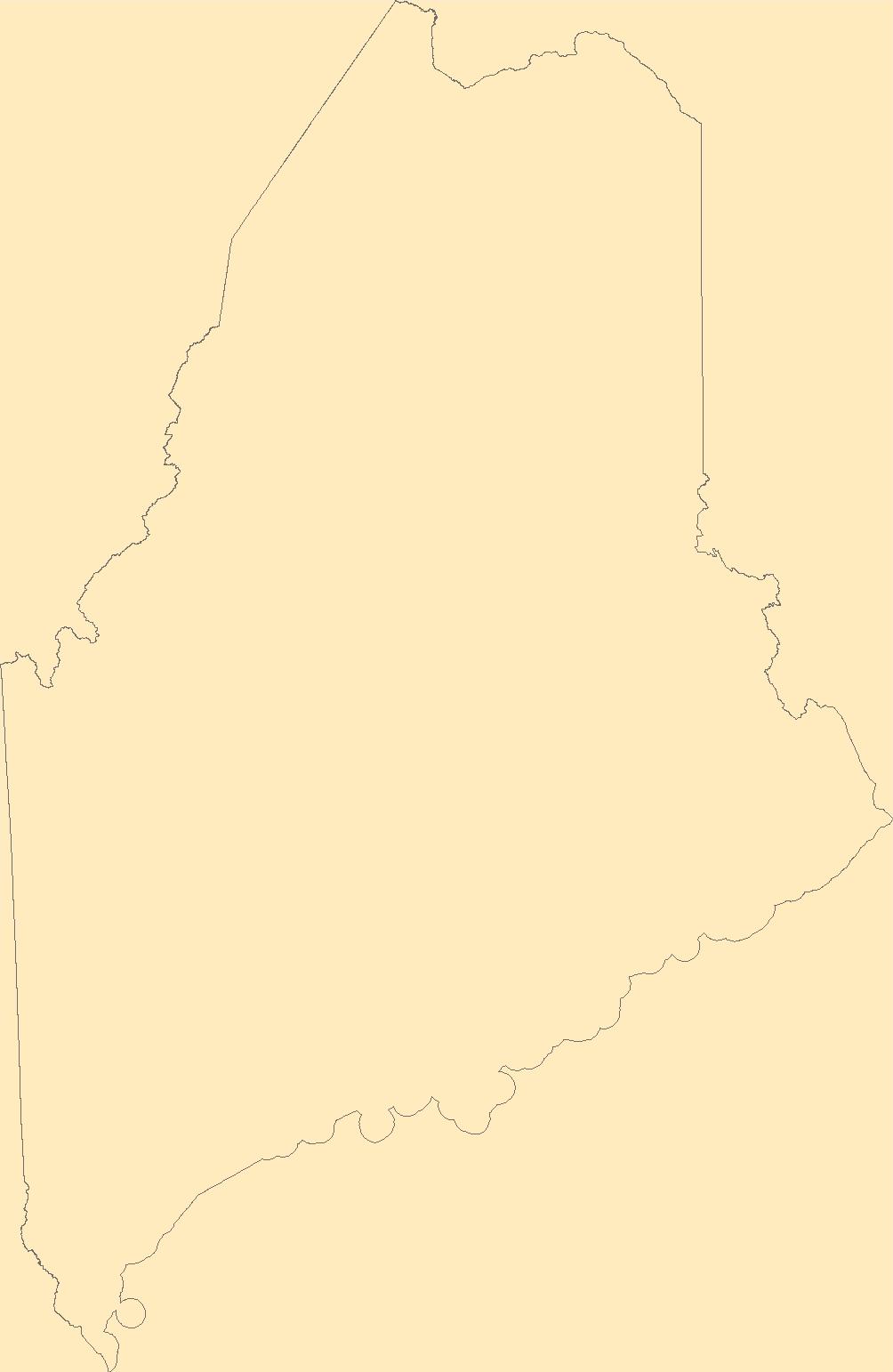
Tags: Androscoggin,
Antarctica,
Antarctica,
Aroostook,
BGN, All tags...
Board on Geographic Names,
Borough,
Census Area,
Commonwealth,
County,
Cumberland,
District,
Downloadable Data,
Feature class,
Feature coordinates,
Feature county,
Feature description,
Feature designation,
Feature history,
Feature indentification,
Feature name,
Feature state,
Franklin,
GNIS,
GeoPackage,
Geographic Names,
Geographic Names Full Model,
Geographic Names Information System,
Geographic feature,
Geographic name,
Geographical feature,
Geographical name,
Hancock,
Kennebec,
Knox,
Lincoln,
ME,
Maine,
Municipio,
National Geographic Names Information System (GNIS),
National Geographic Names Information System (GNIS),
Official feature name,
Open Geospatial Consortium GeoPackage 1.2,
Outlying Area,
Oxford,
Parish,
Penobscot,
Piscataquis,
Place name,
Populated Place,
Sagadahoc,
Somerset,
State,
Territories,
Territory,
Topographic Map,
U.S. Board on Geographic Names,
U.S. Geological Survey,
US,
USA,
USBGN,
USGS,
United States,
United States,
United States,
Variant name,
Waldo,
Washington,
York,
antarctic,
database,
economy,
environment,
feature,
gazetteer,
geographic,
geographic names,
geographical,
geography,
geospatial,
imageryBaseMapsEarthCover,
inlandWaters,
location,
map,
name,
place,
placename,
society,
structure,
topographic map,
toponymy, Fewer tags

This coverage includes lines that describe sea depths on Bay of Bengal.
Categories: Data;
Types: Downloadable,
Map Service,
OGC WFS Layer,
OGC WMS Layer,
Shapefile;
Tags: Bangladesh,
Digital geologic map,
Earth Science,
Ganges-Brahmaputra Delta, Province 8047,
Geology, All tags...
Jalangi-Sylhet/Burdwan Composite, Total Petroleum System 804702,
Jenam/Bhuban-Bokabil, Total Petroleum System 804703,
Natural Gas,
Oil,
Permian Coal, Total Petroleum System 804701,
Petroleum,
Resource Assessment,
South Asia,
South Asia, Region 8,
Tertiary Composite Total Petroleum System,
U.S. Geological Survey,
USGS,
USGS Science Data Catalog (SDC),
bangladesh,
banthymetry,
geography,
geoscientificInformation,
oilgas,
wep,
worldgeologicmaps, Fewer tags
|
|

