Filters: Tags: geography (X)
1,037 results (84ms)|
Filters
Date Range
Extensions
Types
Contacts
Categories
Tag Types
|
The Geographic Names Information System (GNIS) is the Federal standard for geographic nomenclature. The U.S. Geological Survey developed the GNIS for the U.S. Board on Geographic Names, a Federal inter-agency body chartered by public law to maintain uniform feature name usage throughout the Government and to promulgate standard names to the public. The GNIS is the official repository of domestic geographic names data; the official vehicle for geographic names use by all departments of the Federal Government; and the source for applying geographic names to Federal electronic and printed products of all types.
The Geographic Names Information System (GNIS) is the Federal standard for geographic nomenclature. The U.S. Geological Survey developed the GNIS for the U.S. Board on Geographic Names, a Federal inter-agency body chartered by public law to maintain uniform feature name usage throughout the Government and to promulgate standard names to the public. The GNIS is the official repository of domestic geographic names data; the official vehicle for geographic names use by all departments of the Federal Government; and the source for applying geographic names to Federal electronic and printed products of all types.
The Geographic Names Information System (GNIS) is the Federal standard for geographic nomenclature. The U.S. Geological Survey developed the GNIS for the U.S. Board on Geographic Names, a Federal inter-agency body chartered by public law to maintain uniform feature name usage throughout the Government and to promulgate standard names to the public. The GNIS is the official repository of domestic geographic names data; the official vehicle for geographic names use by all departments of the Federal Government; and the source for applying geographic names to Federal electronic and printed products of all types.
The Geographic Names Information System (GNIS) is the Federal standard for geographic nomenclature. The U.S. Geological Survey developed the GNIS for the U.S. Board on Geographic Names, a Federal inter-agency body chartered by public law to maintain uniform feature name usage throughout the Government and to promulgate standard names to the public. The GNIS is the official repository of domestic geographic names data; the official vehicle for geographic names use by all departments of the Federal Government; and the source for applying geographic names to Federal electronic and printed products of all types.
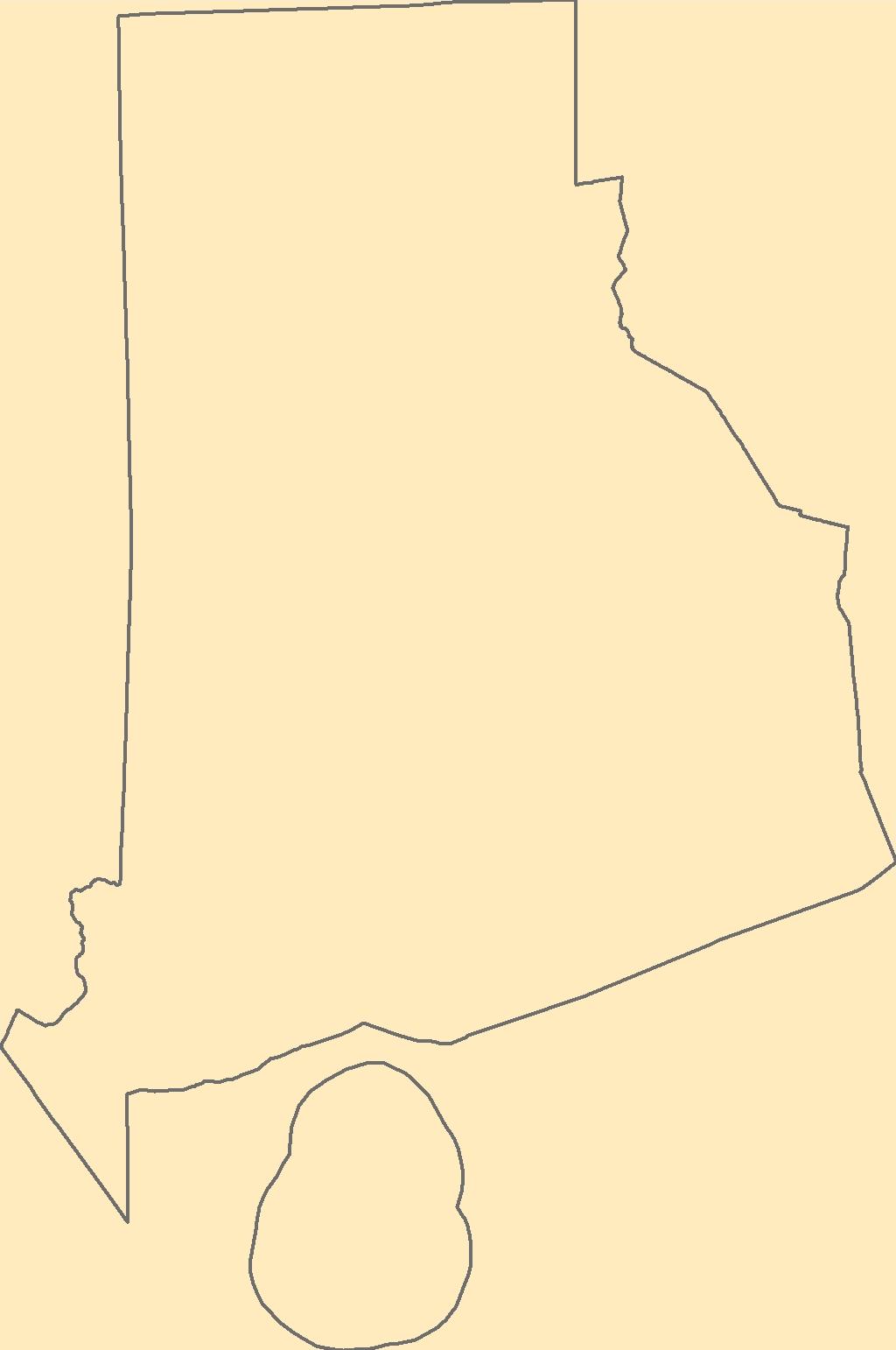
The Geographic Names Information System (GNIS) is the Federal standard for geographic nomenclature. The U.S. Geological Survey developed the GNIS for the U.S. Board on Geographic Names, a Federal inter-agency body chartered by public law to maintain uniform feature name usage throughout the Government and to promulgate standard names to the public. The GNIS is the official repository of domestic geographic names data; the official vehicle for geographic names use by all departments of the Federal Government; and the source for applying geographic names to Federal electronic and printed products of all types.
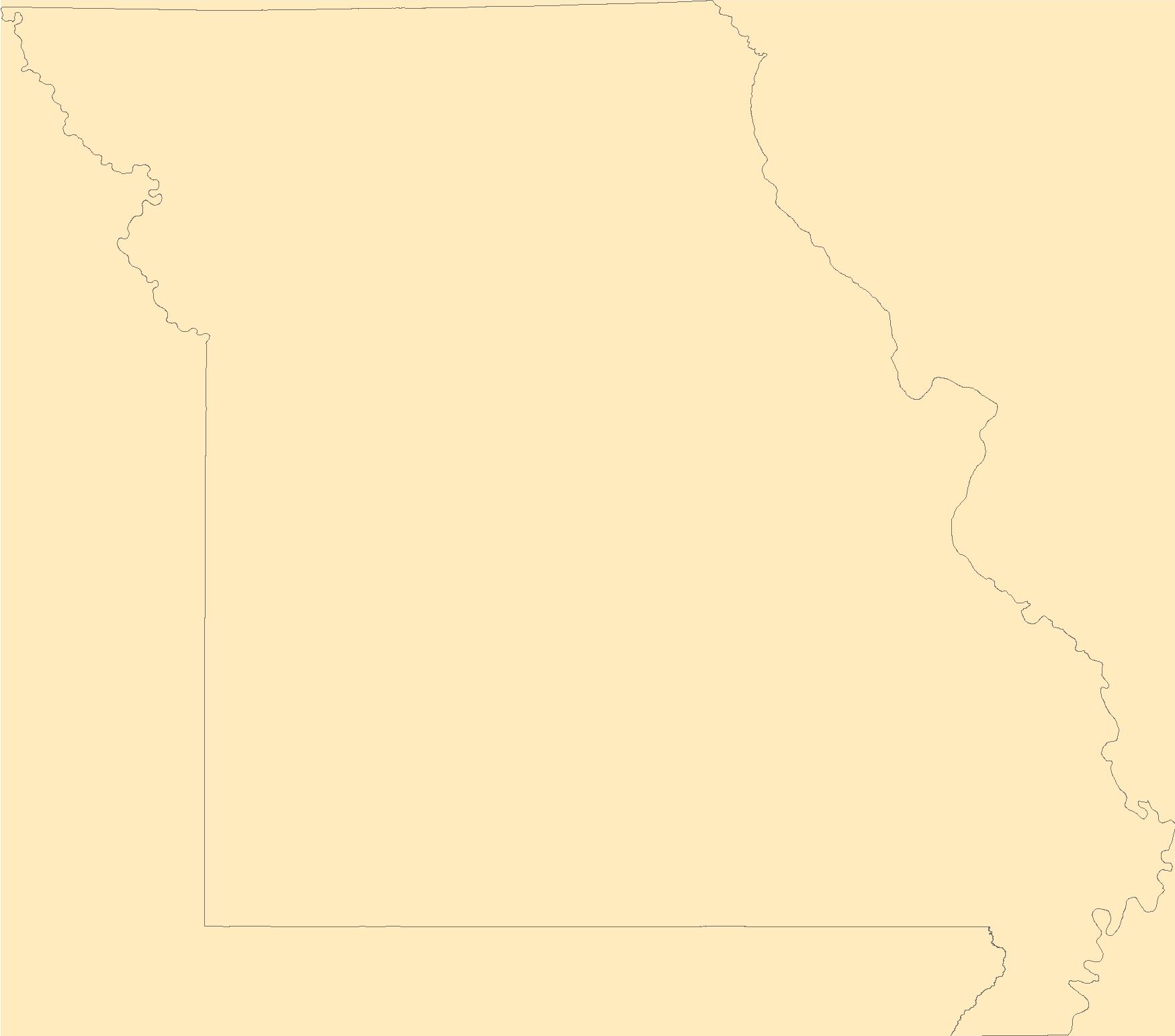
The Geographic Names Information System (GNIS) is the Federal standard for geographic nomenclature. The U.S. Geological Survey developed the GNIS for the U.S. Board on Geographic Names, a Federal inter-agency body chartered by public law to maintain uniform feature name usage throughout the Government and to promulgate standard names to the public. The GNIS is the official repository of domestic geographic names data; the official vehicle for geographic names use by all departments of the Federal Government; and the source for applying geographic names to Federal electronic and printed products of all types.
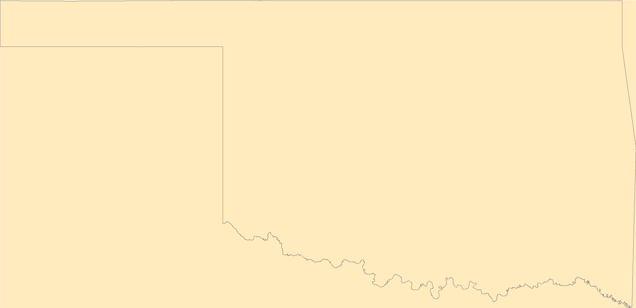
The Geographic Names Information System (GNIS) is the Federal standard for geographic nomenclature. The U.S. Geological Survey developed the GNIS for the U.S. Board on Geographic Names, a Federal inter-agency body chartered by public law to maintain uniform feature name usage throughout the Government and to promulgate standard names to the public. The GNIS is the official repository of domestic geographic names data; the official vehicle for geographic names use by all departments of the Federal Government; and the source for applying geographic names to Federal electronic and printed products of all types.

The Geographic Names Information System (GNIS) is the Federal standard for geographic nomenclature. The U.S. Geological Survey developed the GNIS for the U.S. Board on Geographic Names, a Federal inter-agency body chartered by public law to maintain uniform feature name usage throughout the Government and to promulgate standard names to the public. The GNIS is the official repository of domestic geographic names data; the official vehicle for geographic names use by all departments of the Federal Government; and the source for applying geographic names to Federal electronic and printed products of all types.

The Geographic Names Information System (GNIS) is the Federal standard for geographic nomenclature. The U.S. Geological Survey developed the GNIS for the U.S. Board on Geographic Names, a Federal inter-agency body chartered by public law to maintain uniform feature name usage throughout the Government and to promulgate standard names to the public. The GNIS is the official repository of domestic geographic names data; the official vehicle for geographic names use by all departments of the Federal Government; and the source for applying geographic names to Federal electronic and printed products of all types.
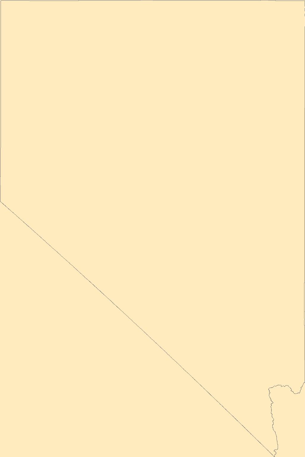
The Geographic Names Information System (GNIS) is the Federal standard for geographic nomenclature. The U.S. Geological Survey developed the GNIS for the U.S. Board on Geographic Names, a Federal inter-agency body chartered by public law to maintain uniform feature name usage throughout the Government and to promulgate standard names to the public. The GNIS is the official repository of domestic geographic names data; the official vehicle for geographic names use by all departments of the Federal Government; and the source for applying geographic names to Federal electronic and printed products of all types.
The Louisiana State Legislature created the Coastal Wetlands Planning, Protection and Restoration Act (CWPPRA) in order to conserve, restore, create and enhance Louisiana's coastal wetlands. The wetland restoration plans developed pursuant to these acts specifically require an evaluation of the effectiveness of each coastal wetlands restoration project in achieving long-term solutions to arresting coastal wetlands loss. This data set includes mosaicked aerial photographs for the Freshwater Introduction South of Highway 82 (ME-16) project for 2018. This data is used as a basemap land-water classification. It also serves as a visual tool for project managers to help them identify any obvious problems or land loss...
Categories: Data;
Types: Downloadable,
GeoTIFF,
Map Service,
Raster;
Tags: CWPPRA,
Ecology,
Geography,
Geography,
Gulf of Mexico,
The Louisiana State Legislature created the Coastal Wetlands Planning, Protection and Restoration Act (CWPPRA) in order to conserve, restore, create and enhance Louisiana's coastal wetlands. The wetland restoration plans developed pursuant to these acts specifically require an evaluation of the effectiveness of each coastal wetlands restoration project in achieving long-term solutions to arresting coastal wetlands loss. This data set includes mosaicked aerial photographs for the Oyster Bayou Marsh Creation and Terracing (CS-59) project for 2018. This data is used as a basemap land-water classification. It also serves as a visual tool for project managers to help them identify any obvious problems or land loss within...
Categories: Data;
Types: Downloadable,
GeoTIFF,
Map Service,
Raster;
Tags: CS-59,
CWPPRA,
Geography,
Gulf of Mexico,
Land Use Change,
This data set consists of digital data describing wetlands and uplands habitats for the Mississippi Coastal Improvements Program (MsCIP) area, consisting of Cat, Ship, Horn and Petit Bois Islands for the year 2020. Wetlands were classified using the Cowardin, et al., wetlands classification scheme to the level of freshwater and tidal, salinity modifiers. Uplands were classified using a customized classification scheme which can be cross-referenced to Anderson, et. al. For this dataset, upland dunes were delineated as areas at or above 1.524 meters (5 feet) as determined in the Lidar data that was referenced without modification for this classification. With this elevation criteria some delineated upland dune features...
Categories: Data;
Types: Downloadable,
Map Service,
OGC WFS Layer,
OGC WMS Layer,
Shapefile;
Tags: Cat Island,
Geography,
Habitats,
Horn Island,
Land Use Change,
The Mississippi Coastal Improvements Program (MsCIP) has developed a Comprehensive Barrier Island Restoration Plan containing options to ensure the integrity of the Mississippi barrier islands through restoration efforts. Any restoration activities implemented must have minimal adverse impacts to critical habitat for various marine, terrestrial and avian resources. Documenting the success of restoration activities in meeting this requirement requires habitat monitoring. In recent communications with MsCIP personnel, the MsCIP lacks a remotely sensed component to its habitat monitoring plan. Additionally, MsCIP personnel have expressed a need for data pertaining to critical habitat utilized by species of interest...
Categories: Data;
Types: Downloadable,
Map Service,
OGC WFS Layer,
OGC WMS Layer,
Shapefile;
Tags: Cat Island,
Climatology,
Ecology,
Geography,
Horn Island,
Coastal management decisions are complex and include challenging tradeoffs. Decision science offers a useful framework to address such complex problems. We illustrate the process with several coastal restoration studies. Our capstone example is based on a recent barrier island restoration assessment project at Dauphin Island, Alabama, which included the development of geomorphological and ecological models that forecast environmental changes over a 10 year time period from 2015 to 2025. The proposed framework aims to serve as a tool to assist coastal managers with the process of restoration. Specifically, we discuss the importance of considering concepts and techniques from ecology, coastal geology, geomorphology,...
Categories: Data;
Tags: Adaptive Management,
Aquatic Biology,
Barrier Island,
Climatology,
Dauphin Island, Alabama,
Wetland restoration efforts conducted by the Coastal Wetlands Planning, Protection and Restoration Act (CWPPRA) in Louisiana rely on monitoring efforts to determine the efficacy of these efforts. The Coastwide Reference Monitoring System (CRMS) was developed to assist in a multiple-reference approach that uses aspects of hydrogeomorphic functional assessments and probabilistic sampling for monitoring. The CRMS program includes a suite of approximately 390 sites that encompass the range of hydrological and ecological conditions for each stratum. As part of CRMS, land and water classifications are created from Digital Orthophoto Quarter Quadrangles (DOQQs) approximately every three years at all CRMS sites. A DOQQ...
Well-established conservation planning principles and techniques framed by geodesign were used to assess the restorability of areas that historically supported coastal wetlands along the U.S. shore of Saginaw Bay. The resulting analysis supported planning efforts to identify, prioritize, and track wetland restoration opportunity and investment in the region. To accomplish this, publicly available data, criteria derived from the regional managers and local stakeholders, and geospatial analysis were used to form an ecological model for spatial prioritization.
This data release presents structure-from-motion (SFM) products derived from aerial imagery surveys with precise Global Navigation Satellite System (GNSS) navigation data flown in a piloted fixed wing aircraft taken along the North Carolina coast in response to Hurricane Florence (available here https://coastal.er.usgs.gov/data-release/doi-P91KB9SF/). USGS researchers use the elevation models and orthorectified imagery to assess future coastal vulnerability, nesting habitats for wildlife, and provide data for hurricane impact models. The products span the coast over both highly developed towns and natural areas, including federal lands. These products represent the coast after Hurricane Florence and cover the Cape...
These data were compiled for a networked field-trial restoration experiment (RestoreNet) that spans the southwestern US, including 21 distributed field sites. The objective of our study was to understand the environmental factors and restoration practices (including seed mixes and soil manipulation) that increase plant establishment and survival to ultimate improve restoration outcomes in dryland environments. These data represent point-in-time plant density and height measurements at our field sites at the time of monitoring. These data were collected at 21 arid and semi-arid sites, located throughout Arizona, Utah, New Mexico, and California. These data were collected by USGS Restoration Assessment and Monitoring...
The Louisiana State Legislature created Coastal Wetlands Planning, Protection and Restoration Act (CWPPRA) in order to conserve, restore, create and enhance Louisiana's coastal wetlands. The wetland restoration plans developed pursuant to these acts specifically require an evaluation of the effectiveness of each coastal wetlands restoration project in achieving long-term solutions to arresting coastal wetlands loss. This data set includes mosaicked aerial photographs for the Highway 384 Hydrologic Restoration (CS-21) project for 2015. This data is used as a basemap land-water classification. It also serves as a visual tool for project managers to help them identify any obvious problems or land loss within their...
Categories: Data;
Types: Downloadable,
GeoTIFF,
Map Service,
Raster;
Tags: CS-21,
CWPPRA,
Ecology,
Geography,
Gulf of Mexico,
|

|