Filters: Tags: geospatial analysis (X) > partyWithName: U.S. Geological Survey (X)
373 results (38ms)|
Filters
Date Range
Extensions Types Contacts
Categories Tag Types
|
The mapped area boundary, flood inundation extents, and depth rasters were created to provide an estimated extent of flood inundation along the Greenbrier River within the community of Alderson, West Virginia. These geospatial data include the following items: 1. greenbrier_ald_bnd; shapefile containing the polygon showing the mapped area boundary for the Greenbrier River flood maps, 2. greenbrier_ald_hwm; shapefile containing high-water mark points, 3. polygon_greenbrier_ald_hwm; shapefile containing mapped extent of flood inundation, derived from the water-surface elevation surveyed at high-water marks, 4. depth_hwm; raster file for the flood depths derived from the water-surface elevation surveyed at high-water...
Digital flood-inundation maps for a 9.9-mile reach of Dardenne Creek, St. Charles County, Missouri, were created by the U.S. Geological Survey (USGS) in cooperation with St. Charles County, Missouri Department of Transportation, and the cities of O'Fallon and St. Peters, Missouri. The flood-inundation maps, which can be accessed through the USGS Flood Inundation Mapping Science Program at http://water.usgs.gov/osw/flood_inundation/ , depict estimates of the areal extent and depth of flooding corresponding to select water levels (stages) at the USGS streamgages 05514860 Dardenne Creek at Old Town St. Peters, Missouri, and 05587450 Mississippi River at Grafton, Illinois. Near-real-time stages at these streamgages...
Well-established conservation planning principles and techniques framed by geodesign were used to assess the restorability of areas that historically supported coastal wetlands along the U.S. shore of Saginaw Bay. The resulting analysis supported planning efforts to identify, prioritize, and track wetland restoration opportunity and investment in the region. To accomplish this, publicly available data, criteria derived from the regional managers and local stakeholders, and geospatial analysis were used to form an ecological model for spatial prioritization.
A high-resolution raster dataset of simulated maximum tsunami elevations in Half Moon Bay, California, based on the Science Application for Risk Reduction (SAFRR) tsunami scenario
Categories: Data;
Types: Downloadable,
GeoTIFF,
Map Service,
Raster;
Tags: CMHRP,
Coastal and Marine Hazards and Resources Program,
Half Moon Bay,
PCMSC,
Pacific Coastal and Marine Science Center,

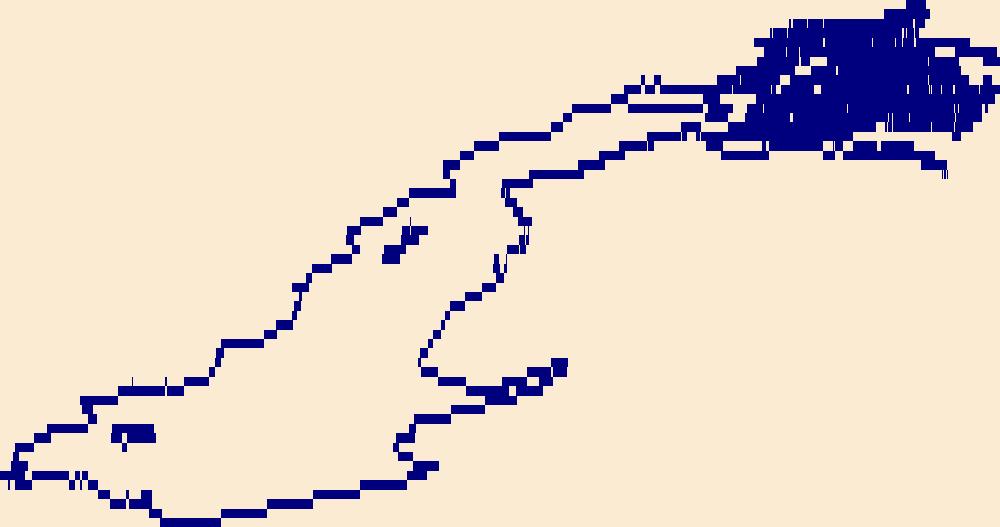
The High Resolution National Hydrography Dataset Plus (NHDPlus HR) is an integrated set of geospatial data layers, including the National Hydrography Dataset (NHD), National Watershed Boundary Dataset (WBD), and 3D Elevation Program Digital Elevation Model (3DEP DEM). The NHDPlus HR combines the NHD, 3DEP DEMs, and WBD to a data suite that includes the NHD stream network with linear referencing functionality, the WBD hydrologic units, elevation-derived catchment areas for each stream segment, "value added attributes" (VAAs), and other features that enhance hydrologic data analysis and routing.
The High Resolution National Hydrography Dataset Plus (NHDPlus HR) is an integrated set of geospatial data layers, including the best available National Hydrography Dataset (NHD), the 10-meter 3D Elevation Program Digital Elevation Model (3DEP DEM), and the National Watershed Boundary Dataset (WBD). The NHDPlus HR combines the NHD, 3DEP DEMs, and WBD to create a stream network with linear referencing, feature naming, "value added attributes" (VAAs), elevation-derived catchments, and other features for hydrologic data analysis. The stream network with linear referencing is a system of data relationships applied to hydrographic systems so that one stream reach "flows" into another and "events" can be tied to and traced...
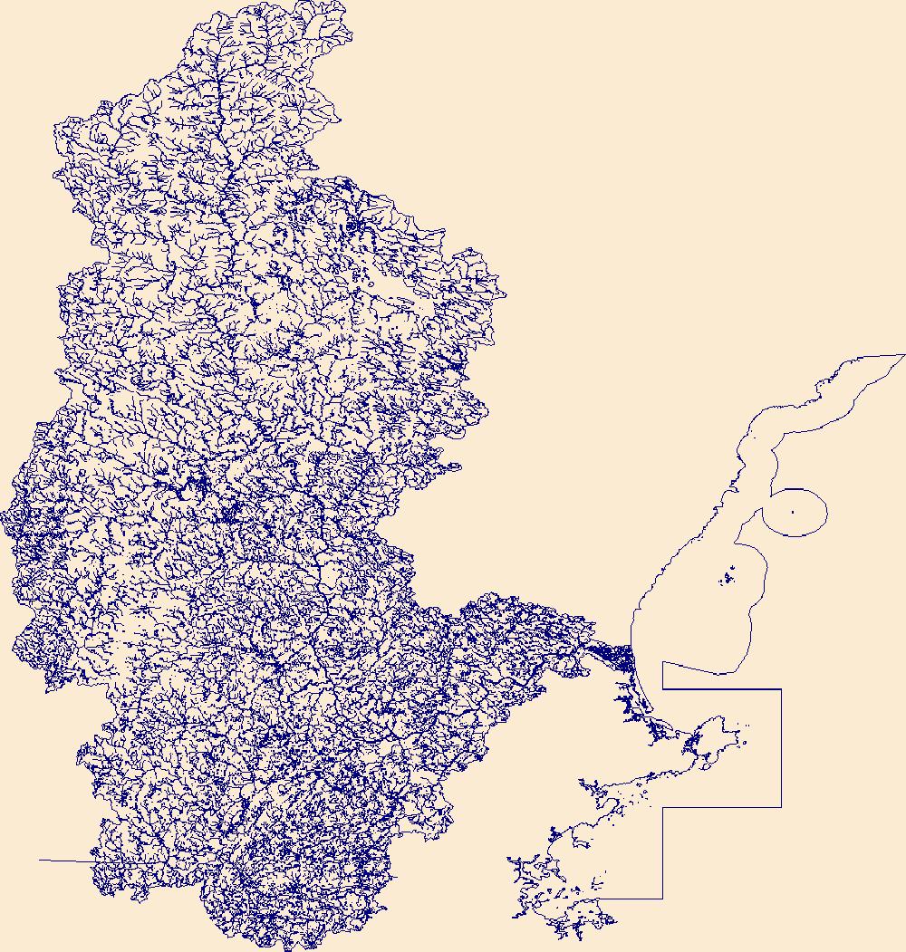
The High Resolution National Hydrography Dataset Plus (NHDPlus HR) is an integrated set of geospatial data layers, including the National Hydrography Dataset (NHD), National Watershed Boundary Dataset (WBD), and 3D Elevation Program Digital Elevation Model (3DEP DEM). The NHDPlus HR combines the NHD, 3DEP DEMs, and WBD to a data suite that includes the NHD stream network with linear referencing functionality, the WBD hydrologic units, elevation-derived catchment areas for each stream segment, "value added attributes" (VAAs), and other features that enhance hydrologic data analysis and routing.
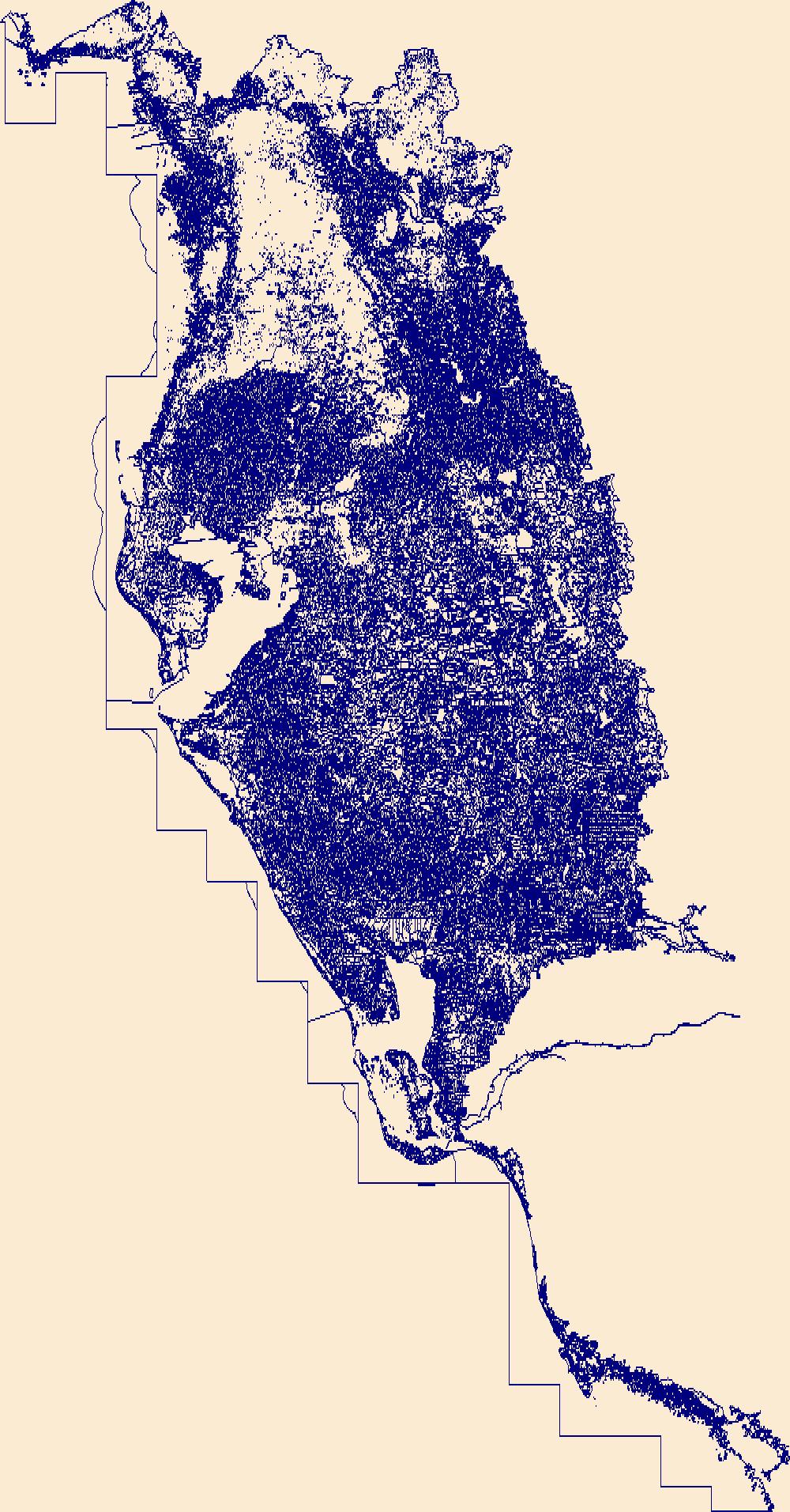
The High Resolution National Hydrography Dataset Plus (NHDPlus HR) is an integrated set of geospatial data layers, including the best available National Hydrography Dataset (NHD), the 10-meter 3D Elevation Program Digital Elevation Model (3DEP DEM), and the National Watershed Boundary Dataset (WBD). The NHDPlus HR combines the NHD, 3DEP DEMs, and WBD to create a stream network with linear referencing, feature naming, "value added attributes" (VAAs), elevation-derived catchments, and other features for hydrologic data analysis. The stream network with linear referencing is a system of data relationships applied to hydrographic systems so that one stream reach "flows" into another and "events" can be tied to and traced...
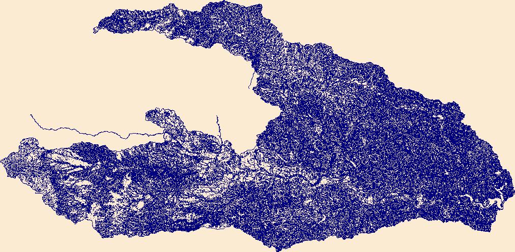
The High Resolution National Hydrography Dataset Plus (NHDPlus HR) is an integrated set of geospatial data layers, including the best available National Hydrography Dataset (NHD), the 10-meter 3D Elevation Program Digital Elevation Model (3DEP DEM), and the National Watershed Boundary Dataset (WBD). The NHDPlus HR combines the NHD, 3DEP DEMs, and WBD to create a stream network with linear referencing, feature naming, "value added attributes" (VAAs), elevation-derived catchments, and other features for hydrologic data analysis. The stream network with linear referencing is a system of data relationships applied to hydrographic systems so that one stream reach "flows" into another and "events" can be tied to and traced...
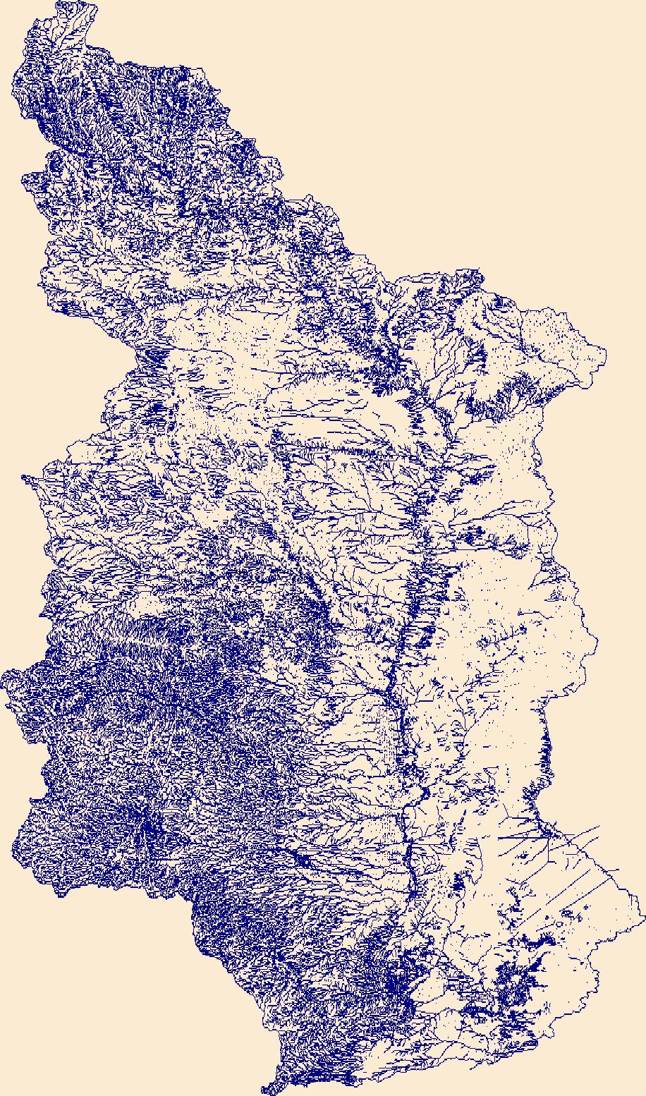
The High Resolution National Hydrography Dataset Plus (NHDPlus HR) is an integrated set of geospatial data layers, including the best available National Hydrography Dataset (NHD), the 10-meter 3D Elevation Program Digital Elevation Model (3DEP DEM), and the National Watershed Boundary Dataset (WBD). The NHDPlus HR combines the NHD, 3DEP DEMs, and WBD to create a stream network with linear referencing, feature naming, "value added attributes" (VAAs), elevation-derived catchments, and other features for hydrologic data analysis. The stream network with linear referencing is a system of data relationships applied to hydrographic systems so that one stream reach "flows" into another and "events" can be tied to and traced...
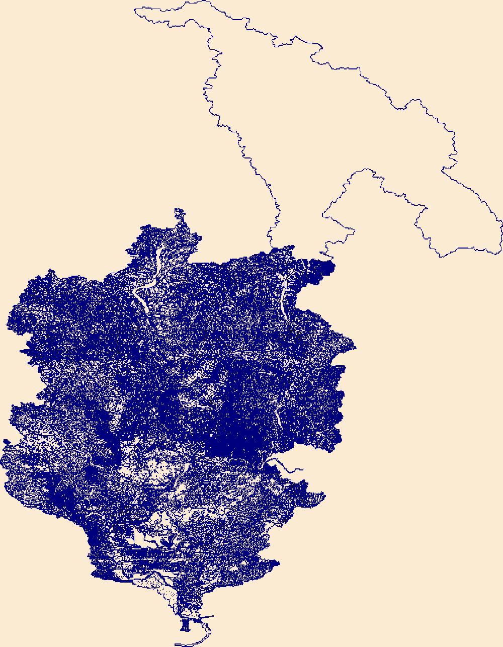
The High Resolution National Hydrography Dataset Plus (NHDPlus HR) is an integrated set of geospatial data layers, including the best available National Hydrography Dataset (NHD), the 10-meter 3D Elevation Program Digital Elevation Model (3DEP DEM), and the National Watershed Boundary Dataset (WBD). The NHDPlus HR combines the NHD, 3DEP DEMs, and WBD to create a stream network with linear referencing, feature naming, "value added attributes" (VAAs), elevation-derived catchments, and other features for hydrologic data analysis. The stream network with linear referencing is a system of data relationships applied to hydrographic systems so that one stream reach "flows" into another and "events" can be tied to and traced...

The High Resolution National Hydrography Dataset Plus (NHDPlus HR) is an integrated set of geospatial data layers, including the best available National Hydrography Dataset (NHD), the 10-meter 3D Elevation Program Digital Elevation Model (3DEP DEM), and the National Watershed Boundary Dataset (WBD). The NHDPlus HR combines the NHD, 3DEP DEMs, and WBD to create a stream network with linear referencing, feature naming, "value added attributes" (VAAs), elevation-derived catchments, and other features for hydrologic data analysis. The stream network with linear referencing is a system of data relationships applied to hydrographic systems so that one stream reach "flows" into another and "events" can be tied to and traced...
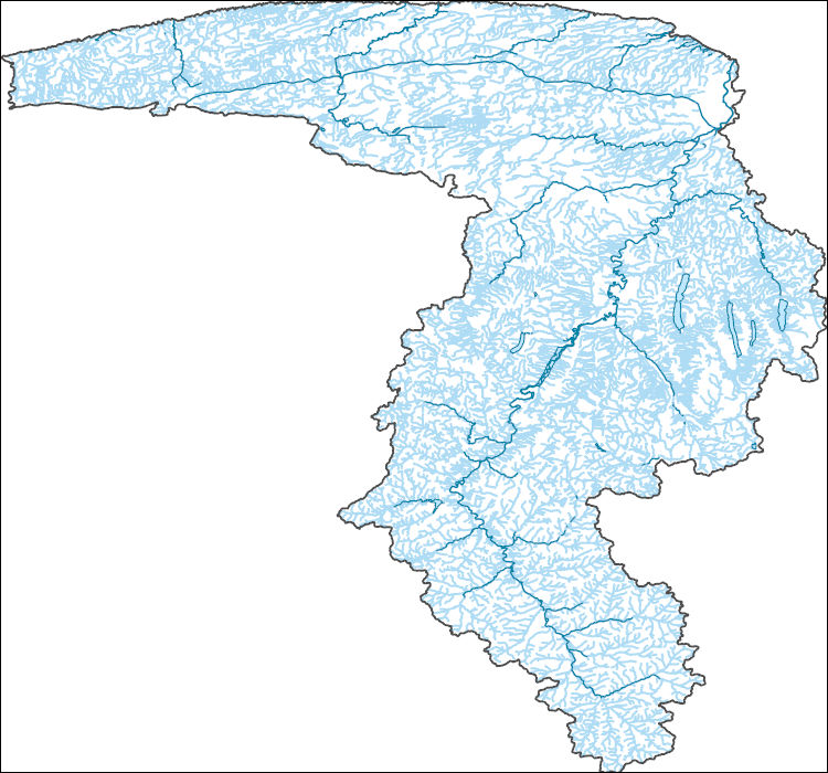
The High Resolution National Hydrography Dataset Plus (NHDPlus HR) is an integrated set of geospatial data layers, including the best available National Hydrography Dataset (NHD), the 10-meter 3D Elevation Program Digital Elevation Model (3DEP DEM), and the National Watershed Boundary Dataset (WBD). The NHDPlus HR combines the NHD, 3DEP DEMs, and WBD to create a stream network with linear referencing, feature naming, "value added attributes" (VAAs), elevation-derived catchments, and other features for hydrologic data analysis. The stream network with linear referencing is a system of data relationships applied to hydrographic systems so that one stream reach "flows" into another and "events" can be tied to and traced...
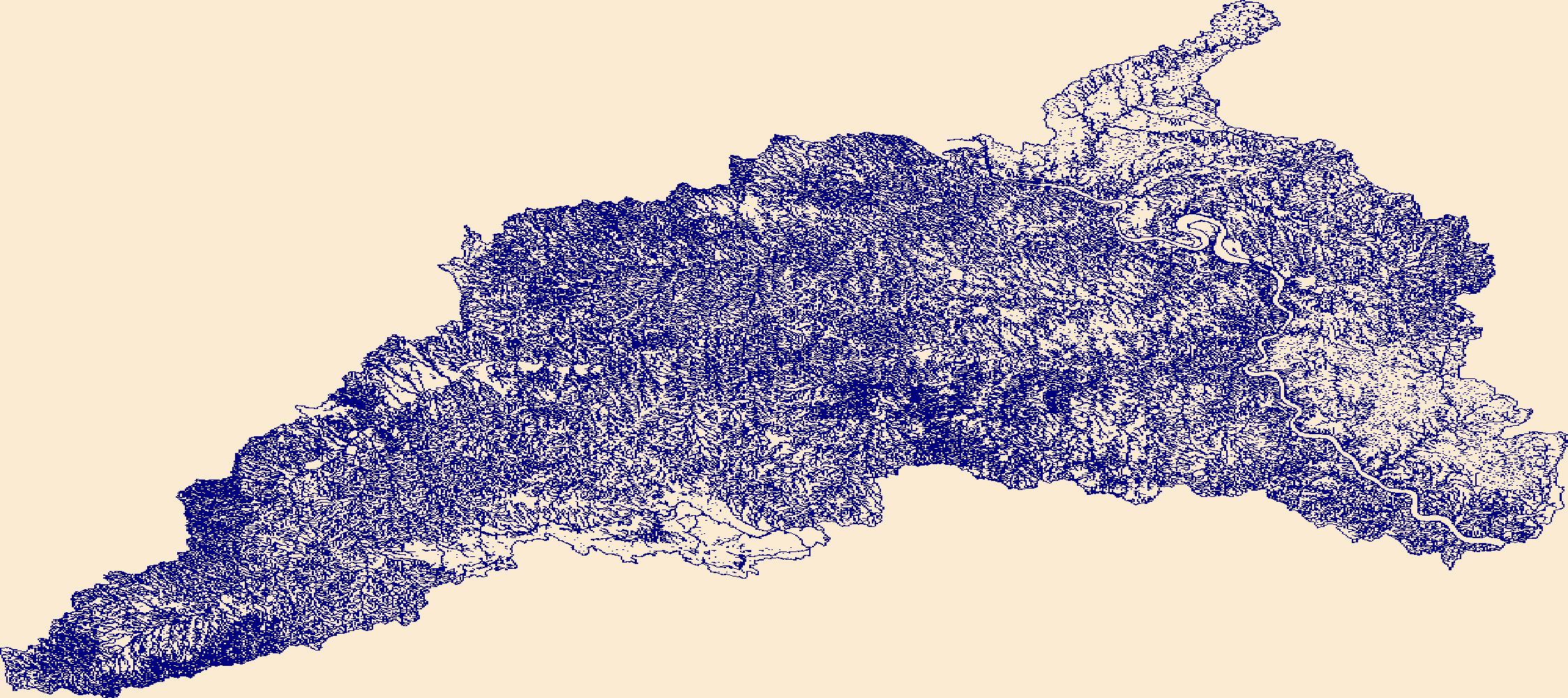
The High Resolution National Hydrography Dataset Plus (NHDPlus HR) is an integrated set of geospatial data layers, including the best available National Hydrography Dataset (NHD), the 10-meter 3D Elevation Program Digital Elevation Model (3DEP DEM), and the National Watershed Boundary Dataset (WBD). The NHDPlus HR combines the NHD, 3DEP DEMs, and WBD to create a stream network with linear referencing, feature naming, "value added attributes" (VAAs), elevation-derived catchments, and other features for hydrologic data analysis. The stream network with linear referencing is a system of data relationships applied to hydrographic systems so that one stream reach "flows" into another and "events" can be tied to and traced...

The High Resolution National Hydrography Dataset Plus (NHDPlus HR) is an integrated set of geospatial data layers, including the best available National Hydrography Dataset (NHD), the 10-meter 3D Elevation Program Digital Elevation Model (3DEP DEM), and the National Watershed Boundary Dataset (WBD). The NHDPlus HR combines the NHD, 3DEP DEMs, and WBD to create a stream network with linear referencing, feature naming, "value added attributes" (VAAs), elevation-derived catchments, and other features for hydrologic data analysis. The stream network with linear referencing is a system of data relationships applied to hydrographic systems so that one stream reach "flows" into another and "events" can be tied to and traced...

The High Resolution National Hydrography Dataset Plus (NHDPlus HR) is an integrated set of geospatial data layers, including the best available National Hydrography Dataset (NHD), the 10-meter 3D Elevation Program Digital Elevation Model (3DEP DEM), and the National Watershed Boundary Dataset (WBD). The NHDPlus HR combines the NHD, 3DEP DEMs, and WBD to create a stream network with linear referencing, feature naming, "value added attributes" (VAAs), elevation-derived catchments, and other features for hydrologic data analysis. The stream network with linear referencing is a system of data relationships applied to hydrographic systems so that one stream reach "flows" into another and "events" can be tied to and traced...

The High Resolution National Hydrography Dataset Plus (NHDPlus HR) is an integrated set of geospatial data layers, including the best available National Hydrography Dataset (NHD), the 10-meter 3D Elevation Program Digital Elevation Model (3DEP DEM), and the National Watershed Boundary Dataset (WBD). The NHDPlus HR combines the NHD, 3DEP DEMs, and WBD to create a stream network with linear referencing, feature naming, "value added attributes" (VAAs), elevation-derived catchments, and other features for hydrologic data analysis. The stream network with linear referencing is a system of data relationships applied to hydrographic systems so that one stream reach "flows" into another and "events" can be tied to and traced...
From May 2017 to November 2019, the U.S. Geological Survey conducted bathymetric surveys of New York City's East of Hudson Reservoirs. Bathymetry data were collected at Kirk Lake during June 2017. Depth data were collected primarily with a multibeam echosounder. Quality assurance points were measured with a single-beam echosounder. Water surface elevations were established using real-time kinematic (RTK) and static global navigation satellite system (GNSS) surveys and submersible pressure transducers. Measured sound velocity profiles were used to correct echosounder depth measurements for thermal stratification. Digital elevation models were created by combining the measured bathymetry data with lidar elevation...
Categories: Data;
Types: Downloadable,
GeoTIFF,
Map Service,
OGC WFS Layer,
OGC WMS Layer,
Raster,
Shapefile;
Tags: Ambient Monitoring,
Basin & Hydrogeologic Characterization,
Kirk Lake,
New York,
Putnam County,
From May 2017 to November 2019, the U.S. Geological Survey conducted bathymetric surveys of New York City's East of Hudson Reservoirs. Bathymetry data were collected at Lake Gleneida during May 2017. Depth data were collected primarily with a multibeam echosounder. Quality assurance points were measured with a single-beam echosounder. Water surface elevations were established using real-time kinematic (RTK) and static global navigation satellite system (GNSS) surveys and submersible pressure transducers. Measured sound velocity profiles were used to correct echosounder depth measurements for thermal stratification. Digital elevation models were created by combining the measured bathymetry data with lidar elevation...
Categories: Data;
Types: Downloadable,
GeoTIFF,
Map Service,
OGC WFS Layer,
OGC WMS Layer,
Raster,
Shapefile;
Tags: Ambient Monitoring,
Basin & Hydrogeologic Characterization,
Lake Gleneida,
New York,
Putnam County,
Digital flood-inundation maps for a 9.3-mile reach of the Iowa River along the Meskwaki Settlement, Iowa, were created by the U.S. Geological Survey (USGS) in cooperation with the Sac and Fox Tribe of the Mississippi River in Iowa. The flood-inundation maps, which can be accessed through the USGS Flood Inundation Mapping Science web site at https://water.usgs.gov/osw/flood_inundation/ depict estimates of the areal extent and depth of flooding corresponding to selected water levels (stages) at the USGS streamgage 05451770 on the Iowa River at County Highway E49 near Tama, Iowa. Near-real-time stages at this streamgage may be obtained on the internet from the USGS National Water Information System at https://waterdata.usgs.gov/...
Categories: Data;
Types: Downloadable,
GeoTIFF,
Map Service,
Raster;
Tags: Iowa,
Iowa River,
Meskwaki Settlement,
biota,
flood,
|

|