Filters: Tags: land surface characteristics (X)
409 results (11ms)|
Filters
Contacts
(Less)
|
Investigations of coastal change and coastal resources often require continuous elevation profiles from the seafloor to coastal terrestrial landscapes. Differences in elevation data collection in the terrestrial and marine environments result in separate elevation products that may not share a vertical datum. This data release contains the assimilation of multiple elevation products into a continuous digital elevation model at a resolution of 3-arcseconds (approximately 90 meters) from the terrestrial landscape to the seafloor for the contiguous U.S., focused on the coastal interface. All datasets were converted to a consistent horizontal datum, the North American Datum of 1983, but the native vertical datum for...
Types: Map Service,
OGC WFS Layer,
OGC WMS Layer,
OGC WMS Service;
Tags: Alabama,
CMGP,
California,
Canadian Hydrographic Service,
Chesapeake Bay,
This metadata record describes the materials contained in stake folder 696. Stake 696 is located at latitude 36.39889, longitude -112.63056. This location was photographed in the following years: 1872, 1968 and 1972. The materials associated with this item include original best quality images from each repeat date (preserved as digitized film images or in some cases digitized print photographs, depending on availability), scanned film envelopes with camera metadata, records of repeat photography sheets, and all field notes and/or camera notes associated with this stake. All attachments follow the following naming convention: stake_date_material_type_Kanab. Some stakes will have multiple materials from one repeat...
Types: Citation;
Tags: Albion camera,
Colorado River,
Dallmeyer lenses,
Kanab Creek,
Southwestern United States,
This metadata record describes the materials contained in stake folder 713. Stake 713 is located at latitude 36.42478, longitude -112.63036. This location was photographed in the following years: 1872 and 1968. The materials associated with this item include original best quality images from each repeat date (preserved as digitized film images or in some cases digitized print photographs, depending on availability), scanned film envelopes with camera metadata, records of repeat photography sheets, and all field notes and/or camera notes associated with this stake. All attachments follow the following naming convention: stake_date_material_type_Kanab. Some stakes will have multiple materials from one repeat date...
Types: Citation;
Tags: Albion camera,
Colorado River,
Dallmeyer lenses,
Kanab Creek,
Southwestern United States,
This metadata record describes the materials contained in stake folder 2595. Stake 2595 is located at latitude 36.392, longitude -112.629. This location was photographed in the following years: 1942 and 1993. The materials associated with this item include original best quality images from each repeat date (preserved as digitized film images or in some cases digitized print photographs, depending on availability), scanned film envelopes with camera metadata, records of repeat photography sheets, and all field notes and/or camera notes associated with this stake. All attachments follow the following naming convention: stake_date_material_type_Kanab. Some stakes will have multiple materials from one repeat date (e.g.,...
Types: Citation;
Tags: Albion camera,
Colorado River,
Dallmeyer lenses,
Kanab Creek,
Southwestern United States,
This metadata record describes the materials contained in stake folder 1506. Stake 1506 is located at latitude 36.38585, longitude -112.63963. This location was photographed in the following years: 1909 (no physical image) and 1990. The materials associated with this item include original best quality images from each repeat date (preserved as digitized film images or in some cases digitized print photographs, depending on availability), scanned film envelopes with camera metadata, records of repeat photography sheets, and all field notes and/or camera notes associated with this stake. All attachments follow the following naming convention: stake_date_material_type_Kanab. Some stakes will have multiple materials...
Types: Citation;
Tags: Albion camera,
Colorado River,
Dallmeyer lenses,
Kanab Creek,
Southwestern United States,
This metadata record describes the materials contained in stake folder 2411. Stake 2411 is located at latitude 36.426, longitude -112.639. This location was photographed in the following years: 1872, 1968 and 1995. The materials associated with this item include original best quality images from each repeat date (preserved as digitized film images or in some cases digitized print photographs, depending on availability), scanned film envelopes with camera metadata, records of repeat photography sheets, and all field notes and/or camera notes associated with this stake. All attachments follow the following naming convention: stake_date_material_type_Kanab. Some stakes will have multiple materials from one repeat date...
Types: Citation;
Tags: Albion camera,
Colorado River,
Dallmeyer lenses,
Kanab Creek,
Southwestern United States,
These data were generated for a cooperative project created by an agreement between the Federal Lands and Highways, Central Federal Lands Division (FLH-CFL) and the USGS Fort Collins Science Center (Colorado; https://www.fort.usgs.gov/) to facilitate development of spatially explicit natural resources and socioeconomic information for utilization during comprehensive transportation planning efforts. Federal Lands Highways (FLH) is the federal agency that helps guide and support transportation planning at national, regional, and state levels, including providing funding, information, and tools to state transportation planners. FLH is currently undertaking a series of pilot studies aimed at improving the availability,...
The U.S. Geological Survey (USGS), in cooperation with the Puerto Rico Environmental Quality Board, has compiled a series of geospatial datasets for Puerto Rico to be implemented into the USGS StreamStats application (https://streamstats.usgs.gov/ss/). These geospatial datasets, along with basin characteristics datasets for Puerto Rico published as a separate USGS data release (https://doi.org/10.5066/P9HK9SSQ), were used to delineate watersheds and develop the peak-flow and low-flow regression equations used by StreamStats. The geospatial dataset described herein are the sink watershed grid rasters at a 10-m resolution. A value is assigned to pixels in each sink watershed and the count of cells that drain to that...
Categories: Data;
Types: Downloadable,
GeoTIFF,
Map Service,
Raster;
Tags: Puerto Rico,
Puerto Rico,
U.S. possessions and associated areas,
environment,
geoscientificInformation,
The U.S. Geological Survey (USGS), in cooperation with the Federal Emergency Management Agency, Pennsylvania Department of Environmental Protection, Pennsylvania Department of Transportation, and Susquehanna River Basin Commission, prepared hydro-conditioned geographic information systems (GIS) layers for use in the Pennsylvania StreamStats application. These data were used to update the peak flow and low flow regression equations for Pennsylvania. This dataset consists of flow direction rasters for each 8-digit Hydrologic Unit Code (HUC) area in Pennsylvania, one of the layer types needed to delineate watersheds within the HUC-8 areas, merged into a single dataset. The 59 HUCs represented by this dataset are 02040101,...
The U.S. Geological Survey (USGS), in cooperation with the Federal Emergency Management Agency, Pennsylvania Department of Environmental Protection, Pennsylvania Department of Transportation, and Susquehanna River Basin Commission, prepared hydro-conditioned geographic information systems (GIS) layers for use in the Pennsylvania StreamStats application. These data were used to update the peak flow and low flow regression equations for Pennsylvania. This dataset consists of stream definition 900 cell threshold rasters for each 8-digit Hydrologic Unit Code (HUC) area in Pennsylvania, one of the layer types needed to delineate watersheds within the HUC-8 areas, merged into a single dataset. The 59 HUCs represented...

The High Resolution National Hydrography Dataset Plus (NHDPlus HR) is an integrated set of geospatial data layers, including the National Hydrography Dataset (NHD), National Watershed Boundary Dataset (WBD), and 3D Elevation Program Digital Elevation Model (3DEP DEM). The NHDPlus HR combines the NHD, 3DEP DEMs, and WBD to a data suite that includes the NHD stream network with linear referencing functionality, the WBD hydrologic units, elevation-derived catchment areas for each stream segment, "value added attributes" (VAAs), and other features that enhance hydrologic data analysis and routing.
The High Resolution National Hydrography Dataset Plus (NHDPlus HR) is an integrated set of geospatial data layers, including the best available National Hydrography Dataset (NHD), the 10-meter 3D Elevation Program Digital Elevation Model (3DEP DEM), and the National Watershed Boundary Dataset (WBD). The NHDPlus HR combines the NHD, 3DEP DEMs, and WBD to create a stream network with linear referencing, feature naming, "value added attributes" (VAAs), elevation-derived catchments, and other features for hydrologic data analysis. The stream network with linear referencing is a system of data relationships applied to hydrographic systems so that one stream reach "flows" into another and "events" can be tied to and traced...
The High Resolution National Hydrography Dataset Plus (NHDPlus HR) is an integrated set of geospatial data layers, including the National Hydrography Dataset (NHD), National Watershed Boundary Dataset (WBD), and 3D Elevation Program Digital Elevation Model (3DEP DEM). The NHDPlus HR combines the NHD, 3DEP DEMs, and WBD to a data suite that includes the NHD stream network with linear referencing functionality, the WBD hydrologic units, elevation-derived catchment areas for each stream segment, "value added attributes" (VAAs), and other features that enhance hydrologic data analysis and routing.
The High Resolution National Hydrography Dataset Plus (NHDPlus HR) is an integrated set of geospatial data layers, including the best available National Hydrography Dataset (NHD), the 10-meter 3D Elevation Program Digital Elevation Model (3DEP DEM), and the National Watershed Boundary Dataset (WBD). The NHDPlus HR combines the NHD, 3DEP DEMs, and WBD to create a stream network with linear referencing, feature naming, "value added attributes" (VAAs), elevation-derived catchments, and other features for hydrologic data analysis. The stream network with linear referencing is a system of data relationships applied to hydrographic systems so that one stream reach "flows" into another and "events" can be tied to and traced...
The High Resolution National Hydrography Dataset Plus (NHDPlus HR) is an integrated set of geospatial data layers, including the best available National Hydrography Dataset (NHD), the 10-meter 3D Elevation Program Digital Elevation Model (3DEP DEM), and the National Watershed Boundary Dataset (WBD). The NHDPlus HR combines the NHD, 3DEP DEMs, and WBD to create a stream network with linear referencing, feature naming, "value added attributes" (VAAs), elevation-derived catchments, and other features for hydrologic data analysis. The stream network with linear referencing is a system of data relationships applied to hydrographic systems so that one stream reach "flows" into another and "events" can be tied to and traced...
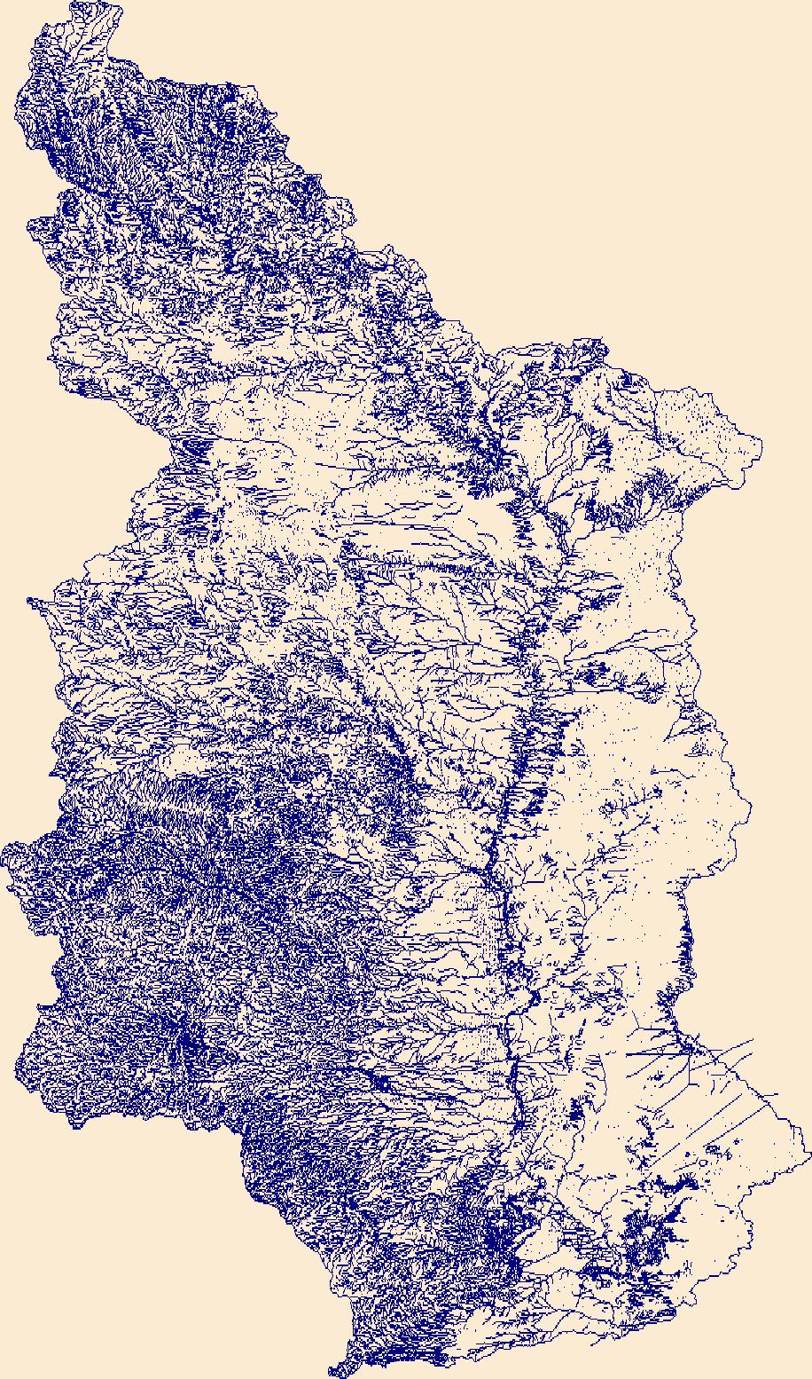
The High Resolution National Hydrography Dataset Plus (NHDPlus HR) is an integrated set of geospatial data layers, including the best available National Hydrography Dataset (NHD), the 10-meter 3D Elevation Program Digital Elevation Model (3DEP DEM), and the National Watershed Boundary Dataset (WBD). The NHDPlus HR combines the NHD, 3DEP DEMs, and WBD to create a stream network with linear referencing, feature naming, "value added attributes" (VAAs), elevation-derived catchments, and other features for hydrologic data analysis. The stream network with linear referencing is a system of data relationships applied to hydrographic systems so that one stream reach "flows" into another and "events" can be tied to and traced...
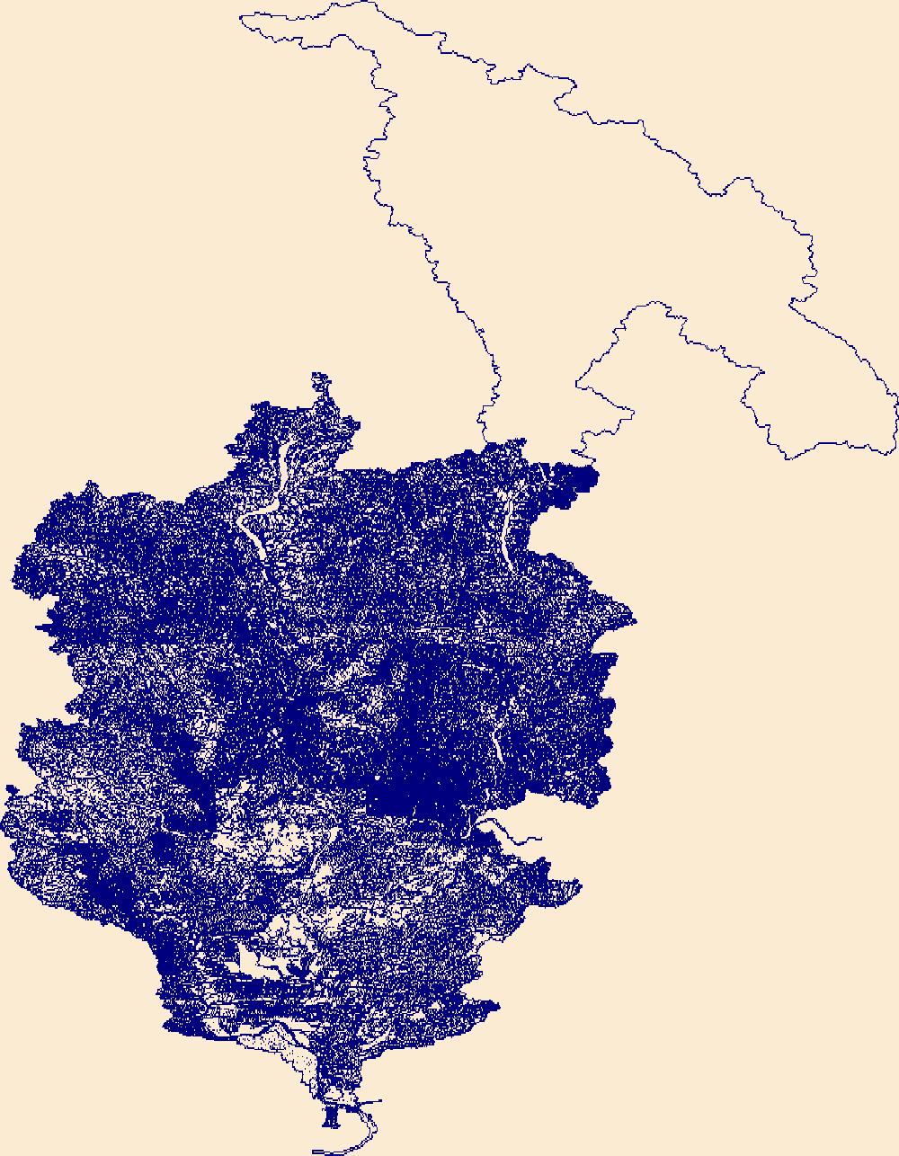
The High Resolution National Hydrography Dataset Plus (NHDPlus HR) is an integrated set of geospatial data layers, including the best available National Hydrography Dataset (NHD), the 10-meter 3D Elevation Program Digital Elevation Model (3DEP DEM), and the National Watershed Boundary Dataset (WBD). The NHDPlus HR combines the NHD, 3DEP DEMs, and WBD to create a stream network with linear referencing, feature naming, "value added attributes" (VAAs), elevation-derived catchments, and other features for hydrologic data analysis. The stream network with linear referencing is a system of data relationships applied to hydrographic systems so that one stream reach "flows" into another and "events" can be tied to and traced...

The High Resolution National Hydrography Dataset Plus (NHDPlus HR) is an integrated set of geospatial data layers, including the best available National Hydrography Dataset (NHD), the 10-meter 3D Elevation Program Digital Elevation Model (3DEP DEM), and the National Watershed Boundary Dataset (WBD). The NHDPlus HR combines the NHD, 3DEP DEMs, and WBD to create a stream network with linear referencing, feature naming, "value added attributes" (VAAs), elevation-derived catchments, and other features for hydrologic data analysis. The stream network with linear referencing is a system of data relationships applied to hydrographic systems so that one stream reach "flows" into another and "events" can be tied to and traced...
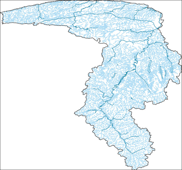
The High Resolution National Hydrography Dataset Plus (NHDPlus HR) is an integrated set of geospatial data layers, including the best available National Hydrography Dataset (NHD), the 10-meter 3D Elevation Program Digital Elevation Model (3DEP DEM), and the National Watershed Boundary Dataset (WBD). The NHDPlus HR combines the NHD, 3DEP DEMs, and WBD to create a stream network with linear referencing, feature naming, "value added attributes" (VAAs), elevation-derived catchments, and other features for hydrologic data analysis. The stream network with linear referencing is a system of data relationships applied to hydrographic systems so that one stream reach "flows" into another and "events" can be tied to and traced...
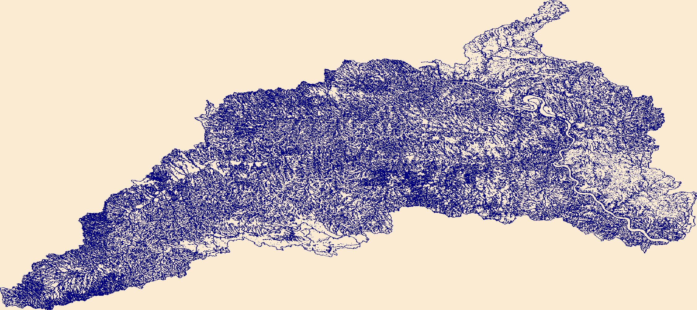
The High Resolution National Hydrography Dataset Plus (NHDPlus HR) is an integrated set of geospatial data layers, including the best available National Hydrography Dataset (NHD), the 10-meter 3D Elevation Program Digital Elevation Model (3DEP DEM), and the National Watershed Boundary Dataset (WBD). The NHDPlus HR combines the NHD, 3DEP DEMs, and WBD to create a stream network with linear referencing, feature naming, "value added attributes" (VAAs), elevation-derived catchments, and other features for hydrologic data analysis. The stream network with linear referencing is a system of data relationships applied to hydrographic systems so that one stream reach "flows" into another and "events" can be tied to and traced...
|

|