Filters: Tags: location (X) > Date Range: {"choice":"year"} (X)
635 results (57ms)|
Filters
Date Types (for Date Range)
Types
Contacts
Categories Tag Types
|
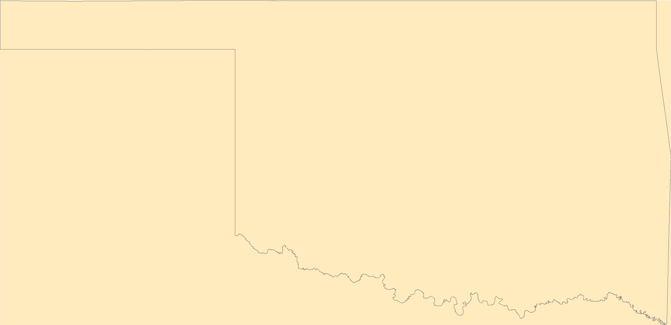
This product ("Prairie fires") presents burned area boundaries for The Flint Hills Ecoregion (KS and OK), one of the most fire prone ecosystems in the United States where hundreds of thousands of acres burn annually as prescribed fire and wildfire. The prairie fire products provide the extent of larger prairie fires in the Flint Hills to record the occurrence of fire and can be used to identify individual burned areas within the perimeters. This product is published to provide fire information of the most fire prone ecosystems to individuals and land management communities for assessing burn extent and impacts on a time sensitive basis. The methods used to produce the prairie fire products from 2019 to present are...
This map layer is a vector polygon shapefile of the perimeters of all currently inventoried fires occurring between calendar year 2021 and 2021 that do not meet standard MTBS size criteria. These data are published to augment the data that are available from the MTBS program. This product was produced using the methods of the Monitoring Trends in Burn Severity Program (MTBS); however, these fires do not meet the size criteria for a standard MTBS assessment. The MTBS Program assesses the frequency, extent, and magnitude (size and severity) of all large wildland fires (wildfires and prescribed fires) in the conterminous United States (CONUS), Alaska, Hawaii, and Puerto Rico for the period 1984 and beyond. MTBS typically...
The U. S. Fish and Wildlife Service (FWS) requests burn severity assessments through an agreement with the U.S. Geological Survey (USGS) to be completed by analysts with the Monitoring Trends in Burn Severity (MTBS) Program. These data products are burned area boundary shapefiles derived from post-fire sensor data (including Landsat TM, Landsat ETM+, Landsat OLI). The pre-fire and post-fire subsets included were used to create Normalized Burn Ratio (NBR) and then a differenced Normalized Burn Ratio (dNBR) image. The objective of this assessment was to generate burned area boundaries for each fire. Data bundles also include post-fire subset, pre-fire subset, NBR, and dNBR images. This map layer is a thematic raster...

The Geographic Names Information System (GNIS) is the Federal standard for geographic nomenclature. The U.S. Geological Survey developed the GNIS for the U.S. Board on Geographic Names, a Federal inter-agency body chartered by public law to maintain uniform feature name usage throughout the Government and to promulgate standard names to the public. The GNIS is the official repository of domestic geographic names data; the official vehicle for geographic names use by all departments of the Federal Government; and the source for applying geographic names to Federal electronic and printed products of all types.
The Geographic Names Information System (GNIS) is the Federal standard for geographic nomenclature. The U.S. Geological Survey developed the GNIS for the U.S. Board on Geographic Names, a Federal inter-agency body chartered by public law to maintain uniform feature name usage throughout the Government and to promulgate standard names to the public. The GNIS is the official repository of domestic geographic names data; the official vehicle for geographic names use by all departments of the Federal Government; and the source for applying geographic names to Federal electronic and printed products of all types.

The Geographic Names Information System (GNIS) is the Federal standard for geographic nomenclature. The U.S. Geological Survey developed the GNIS for the U.S. Board on Geographic Names, a Federal inter-agency body chartered by public law to maintain uniform feature name usage throughout the Government and to promulgate standard names to the public. The GNIS is the official repository of domestic geographic names data; the official vehicle for geographic names use by all departments of the Federal Government; and the source for applying geographic names to Federal electronic and printed products of all types.
The Geographic Names Information System (GNIS) is the Federal standard for geographic nomenclature. The U.S. Geological Survey developed the GNIS for the U.S. Board on Geographic Names, a Federal inter-agency body chartered by public law to maintain uniform feature name usage throughout the Government and to promulgate standard names to the public. The GNIS is the official repository of domestic geographic names data; the official vehicle for geographic names use by all departments of the Federal Government; and the source for applying geographic names to Federal electronic and printed products of all types.
The Geographic Names Information System (GNIS) is the Federal standard for geographic nomenclature. The U.S. Geological Survey developed the GNIS for the U.S. Board on Geographic Names, a Federal inter-agency body chartered by public law to maintain uniform feature name usage throughout the Government and to promulgate standard names to the public. The GNIS is the official repository of domestic geographic names data; the official vehicle for geographic names use by all departments of the Federal Government; and the source for applying geographic names to Federal electronic and printed products of all types.
The Geographic Names Information System (GNIS) is the Federal standard for geographic nomenclature. The U.S. Geological Survey developed the GNIS for the U.S. Board on Geographic Names, a Federal inter-agency body chartered by public law to maintain uniform feature name usage throughout the Government and to promulgate standard names to the public. The GNIS is the official repository of domestic geographic names data; the official vehicle for geographic names use by all departments of the Federal Government; and the source for applying geographic names to Federal electronic and printed products of all types.

The Geographic Names Information System (GNIS) is the Federal standard for geographic nomenclature. The U.S. Geological Survey developed the GNIS for the U.S. Board on Geographic Names, a Federal inter-agency body chartered by public law to maintain uniform feature name usage throughout the Government and to promulgate standard names to the public. The GNIS is the official repository of domestic geographic names data; the official vehicle for geographic names use by all departments of the Federal Government; and the source for applying geographic names to Federal electronic and printed products of all types.
The Geographic Names Information System (GNIS) is the Federal standard for geographic nomenclature. The U.S. Geological Survey developed the GNIS for the U.S. Board on Geographic Names, a Federal inter-agency body chartered by public law to maintain uniform feature name usage throughout the Government and to promulgate standard names to the public. The GNIS is the official repository of domestic geographic names data; the official vehicle for geographic names use by all departments of the Federal Government; and the source for applying geographic names to Federal electronic and printed products of all types.

The Geographic Names Information System (GNIS) is the Federal standard for geographic nomenclature. The U.S. Geological Survey developed the GNIS for the U.S. Board on Geographic Names, a Federal inter-agency body chartered by public law to maintain uniform feature name usage throughout the Government and to promulgate standard names to the public. The GNIS is the official repository of domestic geographic names data; the official vehicle for geographic names use by all departments of the Federal Government; and the source for applying geographic names to Federal electronic and printed products of all types.

The Geographic Names Information System (GNIS) is the Federal standard for geographic nomenclature. The U.S. Geological Survey developed the GNIS for the U.S. Board on Geographic Names, a Federal inter-agency body chartered by public law to maintain uniform feature name usage throughout the Government and to promulgate standard names to the public. The GNIS is the official repository of domestic geographic names data; the official vehicle for geographic names use by all departments of the Federal Government; and the source for applying geographic names to Federal electronic and printed products of all types.
The Geographic Names Information System (GNIS) is the Federal standard for geographic nomenclature. The U.S. Geological Survey developed the GNIS for the U.S. Board on Geographic Names, a Federal inter-agency body chartered by public law to maintain uniform feature name usage throughout the Government and to promulgate standard names to the public. The GNIS is the official repository of domestic geographic names data; the official vehicle for geographic names use by all departments of the Federal Government; and the source for applying geographic names to Federal electronic and printed products of all types.
Low-altitude (70 m above ground level) aerial images were collected over five areas of interest within the northern portion of Assateague Island National Seashore (ASIS) in mid-October, 2022. These images were collected to generate photogrammetric products (e.g. digital surface model (DSM), reflectance orthomosaic) to support science and data needs of National Park managers attempting to locate invasive Phragmites australis expansion. A DJI Matrice 600 uncrewed aircraft system (UAS) was equipped with a MicaSense Altum-PT multispectral camera and a Ricoh GRII true-color RGB camera to collect images simultaneously with sufficient overlap for photogrammetric processing. Ground control points (GCPs), black and white...
Low-altitude (70 m above ground level) aerial images were collected over five areas of interest within the northern portion of Assateague Island National Seashore (ASIS) in mid-October, 2022. These images were collected to generate photogrammetric products (e.g. digital surface model (DSM), reflectance orthomosaic) to support science and data needs of National Park managers attempting to locate invasive Phragmites australis expansion. A DJI Matrice 600 uncrewed aircraft system (UAS) was equipped with a MicaSense Altum-PT multispectral camera and a Ricoh GRII true-color RGB camera to collect images simultaneously with sufficient overlap for photogrammetric processing. Ground control points (GCPs), black and white...
This webinar covers two linked projects to increase the amount of water temperature data for the Bristol Bay and Kodiak Archipelago regions of Alaska.
Maintaining the native prairie lands of the Northern Great Plains (NGP), which provide an important habitat for declining grassland species, requires anticipating the effects of increasing atmospheric carbon dioxide (CO2) concentrations and climate change on the region’s vegetation. Specifically, climate change threatens NGP grasslands by increasing the potential encroachment of native woody species into areas where they were previously only present in minor numbers. This project used a dynamic vegetation model to simulate vegetation type (grassland, shrubland, woodland, and forest) for the NGP for a range of projected future climates and relevant management scenarios. Comparing results of these simulations illustrates...
Categories: Project;
Types: Map Service,
OGC WFS Layer,
OGC WMS Layer,
OGC WMS Service;
Tags: 2012,
Biology,
CASC,
Climate change,
Completed,
The WBPHS is conducted by flying an aircraft along a set of segment lines. (One or more contiguous segments comprise a transect.) The geographic coordinates in WBPHS_Segment_Endpoints.csv represent the beginning and ending points of the segment lines in Alaska and Old Crow Flats (Yukon Territory) strata 1-12. The point coordinates in this file have been incorporated into various products (e.g., a GPS waypoints file) to aid in survey-flight navigation. The coordinates are in decimal degrees, WGS84 datum.The set of segments contained in this file was established in 1964. In the years 1957-1963, the survey design included many, but not all, of these segments. Additional segments were flown in some or all years during...
Categories: Data;
Types: Map Service,
OGC WFS Layer,
OGC WMS Layer,
OGC WMS Service;
Tags: ANIMALS/VERTEBRATES,
ANIMALS/VERTEBRATES,
BIOLOGICAL CLASSIFICATION,
BIOLOGICAL CLASSIFICATION,
BIRDS,
In many areas surveyed during the North American WBPHS, ground surveys are conducted in conjunction with the aerial surveys to derive annual visibility correction factors (VCFs) for the aerial survey crews, which are used during analyses to adjust for detection bias. Due to the remoteness of strata 1–12, ground surveys are not conducted there. Instead, a set of fixed VCFs by species and basic habitat type (strata 1–7 = boreal forest; strata 8–11 = tundra; stratum 12) are used. The fixed VCFs that were used through 1991 were derived from work done in WBPHS prairie strata. During the years 1985–1991, efforts were made by the FWS Division of Migratory Bird Management-Alaska Region (MBM-Alaska) to develop more appropriate...
Categories: Data;
Types: Map Service,
OGC WFS Layer,
OGC WMS Layer,
OGC WMS Service;
Tags: ANIMALS/VERTEBRATES,
ANIMALS/VERTEBRATES,
BIOLOGICAL CLASSIFICATION,
BIOLOGICAL CLASSIFICATION,
BIRDS,
|

|
