Filters: Tags: portland (X)
172 results (8ms)|
Filters
Date Range
Types (Less) Contacts (Less)
Categories (Less) Tag Types
|
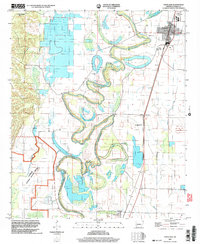
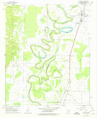
This data set contains imagery from the National Agriculture Imagery Program (NAIP). The NAIP program is administered by USDA FSA and has been established to support two main FSA strategic goals centered on agricultural production. These are, increase stewardship of America's natural resources while enhancing the environment, and to ensure commodities are procured and distributed effectively and efficiently to increase food security. The NAIP program supports these goals by acquiring and providing ortho imagery that has been collected during the agricultural growing season in the U.S. The NAIP ortho imagery is tailored to meet FSA requirements and is a fundamental tool used to support FSA farm and conservation programs....
This data set contains imagery from the National Agriculture Imagery Program (NAIP). The NAIP program is administered by USDA FSA and has been established to support two main FSA strategic goals centered on agricultural production. These are, increase stewardship of America's natural resources while enhancing the environment, and to ensure commodities are procured and distributed effectively and efficiently to increase food security. The NAIP program supports these goals by acquiring and providing ortho imagery that has been collected during the agricultural growing season in the U.S. The NAIP ortho imagery is tailored to meet FSA requirements and is a fundamental tool used to support FSA farm and conservation programs....

This dataset indicates areas that invasive plants were removed in SW Portland, Oregon and the amounts that were removed. All work was performed by partners in the West Willamette Restoration Partnership (WWRP): http://wwrpcoordinator.wix.com/wwrp
ADMMR map collection: Santa Maria-Homestake Area, Sketch Showing Interpreted Traces of Veins and Sample Locations; 1 in. to 400 feet; 9 x 11 in.
Categories: Data;
Tags: 1990s,
Arizona,
Black Mts. (YA) physiographic area,
Crosby metallic mineral dist.,
Dataset,

The Title 3 Land data delineates areas protected by the Stream and Floodplain Protection Plan, which aims to protect the region's health and public safety by reducing flood and landslide hazards, controlling soil erosion, and reducing pollution of the region's waterways. This data specifically delineates areas impacted by Title 3 for the following purposes: 1. protect against flooding, 2. enhance water quality in the region's streams, rivers, and wetlands, and 3. protect regionally significant fish and wildlife habitat areas. Downloaded from Metro's RLIS Discovery site, 7/2/2012.

Routed regional river centerline data layer using the polylineM feature format with measures in kilometers. The stream route layer includes stream locations where, on the basis of the raster model used to create the data layer, surface water may have once existed, but is now piped, culverted or thought to be buried. Likewise the layer includes centerlines through water bodies, i.e. portions of streams that connect with larger bodies of water such as wetlands, ponds, etc. Thus many portions of a stream route feature are included primarily to complete the centerline network for routing purposes. Downloaded from Metro's RLIS Discovery site on 7/2/2012.
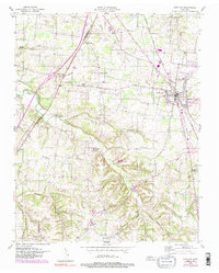
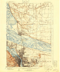
USGS Historical Quadrangle in GeoPDF.
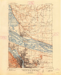
USGS Historical Quadrangle in GeoPDF.
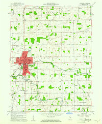
USGS Historical Quadrangle in GeoPDF.
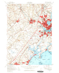
USGS Historical Quadrangle in GeoPDF.
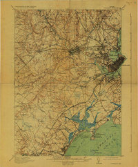
USGS Historical Quadrangle in GeoPDF.
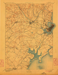
USGS Historical Quadrangle in GeoPDF.
USGS Historical Quadrangle in GeoPDF.
This data set contains imagery from the National Agriculture Imagery Program (NAIP). The NAIP program is administered by USDA FSA and has been established to support two main FSA strategic goals centered on agricultural production. These are increase stewardship of America's natural resources while enhancing the environment, and to ensure commodities are procured and distributed effectively and efficiently to increase food security. The NAIP program supports these goals by acquiring and providing ortho imagery that has been collected during the agricultural growing season in the U.S. The NAIP ortho imagery is tailored to meet FSA requirements and is a fundamental tool used to support FSA farm and conservation programs....
This data set contains imagery from the National Agriculture Imagery Program (NAIP). The NAIP program is administered by USDA FSA and has been established to support two main FSA strategic goals centered on agricultural production. These are, increase stewardship of America's natural resources while enhancing the environment, and to ensure commodities are procured and distributed effectively and efficiently to increase food security. The NAIP program supports these goals by acquiring and providing ortho imagery that has been collected during the agricultural growing season in the U.S. The NAIP ortho imagery is tailored to meet FSA requirements and is a fundamental tool used to support FSA farm and conservation programs....

This geospatial dataset is a hydrologic unit boundary layer for the Watershed (10-digit) level. The dataset is a subset of the 5th level (field) hydrologic unit boundaries from the Watershed Boundary Dataset (WBD) layer for Oregon. Hydrologic units in the data set represent drainage areas delineated to the 5th level drainage systems. Their boundaries are defined by hydrographic and topographic criteria that delineate an area of land upstream from a specific point on a river, stream, or similar surface waters. Boundaries within the this data set were delineated by Pacific Northwest (PNW) Hydrography Framework Partners and Natural Resources Conservation Service (NRCS) to meet state requirements and to contribute to...
This data set contains imagery from the National Agriculture Imagery Program (NAIP). The NAIP program is administered by USDA FSA and has been established to support two main FSA strategic goals centered on agricultural production. These are, increase stewardship of America's natural resources while enhancing the environment, and to ensure commodities are procured and distributed effectively and efficiently to increase food security. The NAIP program supports these goals by acquiring and providing ortho imagery that has been collected during the agricultural growing season in the U.S. The NAIP ortho imagery is tailored to meet FSA requirements and is a fundamental tool used to support FSA farm and conservation programs....
This data set contains imagery from the National Agriculture Imagery Program (NAIP). The NAIP program is administered by USDA FSA and has been established to support two main FSA strategic goals centered on agricultural production. These are, increase stewardship of America's natural resources while enhancing the environment, and to ensure commodities are procured and distributed effectively and efficiently to increase food security. The NAIP program supports these goals by acquiring and providing ortho imagery that has been collected during the agricultural growing season in the U.S. The NAIP ortho imagery is tailored to meet FSA requirements and is a fundamental tool used to support FSA farm and conservation programs....
USGS Historical Quadrangle in GeoPDF.
USGS Historical Quadrangle in GeoPDF.
|

|
