Filters: Tags: rio grande (X)
404 results (52ms)|
Filters
Date Range
Extensions
Types Contacts
Categories Tag Types
|
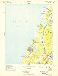
USGS Historical Quadrangle in GeoPDF.
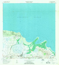
USGS Historical Quadrangle in GeoPDF.
Executive Summary: Portions of broad-scale ecoregions of the Great Plains, and Southern Semiarid Highlands were generally projected as mostly suitable for large fires of low severity within 31 years. Under a 2070 future climate scenario of high CO2 emission (HadGEM2-ES RCP8.5) a significant increase in suitability for large low severity wildfires was seen in Wyoming and Montana, which was accompanied by a decrease in suitability for the Madrean Archipelago and portions of central and west Texas. Broad scale niche model for the Southwestern Willow Flycatcher under current climate was centered within the known breeding range mostly along riparian areas. Under a 2070 future climate scenario of high CO2 emission (HadGEM2-ES...
Categories: Data;
Types: Map Service,
OGC WFS Layer,
OGC WMS Layer,
OGC WMS Service;
Tags: 2014,
AZ-01,
AZ-02,
AZ-03,
AZ-04,
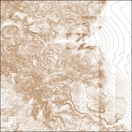
These vector contour lines are derived from the 3D Elevation Program using automated and semi-automated processes. They were created to support 1:24,000-scale CONUS and Hawaii, 1:25,000-scale Alaska, and 1:20,000-scale Puerto Rico / US Virgin Island topographic map products, but are also published in this GIS vector format. Contour intervals are assigned by 7.5-minute quadrangle, so this vector dataset is not visually seamless across quadrangle boundaries. The vector lines have elevation attributes (in feet above mean sea level on NAVD88), but this dataset does not carry line symbols or annotation.
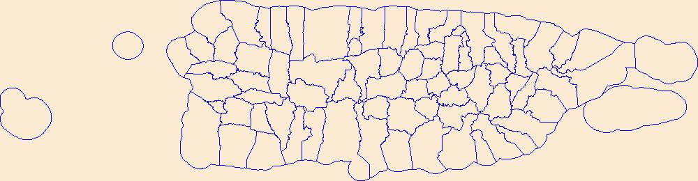
Geospatial data is comprised of government boundaries.
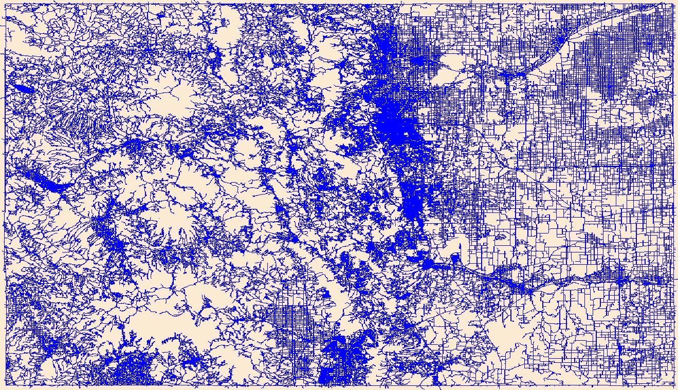
Layers of geospatial data include roads, airports, trails, and railroads.
This dataset contains a thematic [classified] image derived from supervised classification of WorldView-3 satellite imagery. This data release contains a geospatial thematic (raster) image derived from a supervised classification of WorldView-3 satellite imagery obtained during 2020–21. Arundo donax (Arundo cane, giant reed, or Carrizo cane), is an invasive bamboo-like perennial grass most common to riparian areas throughout the southwestern United States. Because it displaces native riparian vegetation, Arundo cane has greatly disrupted the health of riparian ecosystems in the southwestern United States and northern Mexico during the past 50 years. Arundo cane also has created border security problems along the...
Types: Map Service,
OGC WFS Layer,
OGC WMS Layer,
OGC WMS Service;
Tags: Arundo cane,
Arundo donax,
Carrizo cane,
Giant Reed,
Rio Grande,

The Geographic Names Information System (GNIS) is the Federal standard for geographic nomenclature. The U.S. Geological Survey developed the GNIS for the U.S. Board on Geographic Names, a Federal inter-agency body chartered by public law to maintain uniform feature name usage throughout the Government and to promulgate standard names to the public. The GNIS is the official repository of domestic geographic names data; the official vehicle for geographic names use by all departments of the Federal Government; and the source for applying geographic names to Federal electronic and printed products of all types.
Data were used for a total of 97 climate projection scenarios in this study. These scenarios show monthly and annual streamflow in the Rio Grande main channel at the pair of USGS gauges at San Marcial, representing the inflows to Elephant Butte reservoir from 2022 to 2099. Townsend and Gutzler (2020) developed an adjustment procedure to convert natural flows projected by the U.S. Bureau of Reclamation at the Elephant Butte dam to realistic flow values at San Marcial (at the upstream end of Elephant Butte Reservoir) to account for upstream water management. The scenarios cover a range of dry (average annual projected flow less than the historical value) to wet (average annual projected flow higher than the historical...
Categories: Data;
Tags: Climate conditions projection,
Global Climate Models,
Normalization methods,
Rio Bravo,
Rio Grande,
The Rio Grande-Rio Bravo Basin Subset Data were used to produce the digitalization of the River extent of water related models.
Categories: Data;
Types: Downloadable,
Map Service,
OGC WFS Layer,
OGC WMS Layer,
Shapefile;
Tags: Hydraulics,
Hydrologic,
Optimization,
Rio Bravo,
Rio Grande,
Create an inventory of water-related models that have been developed for the Rio Grande/Bravo basin. The summary includes a description of model river extent, spatial and temporal resolution, time period, model type, and their possible application for testing environmental flows or climate change future alternatives.
Categories: Data;
Types: Citation,
Downloadable,
Map Service,
OGC WFS Layer,
OGC WMS Layer,
Shapefile;
Tags: Hydraulics,
Hydrologic,
Optimization,
Rio Bravo,
Rio Grande,
Conditional Flame Length (CFL) is an estimate of the mean flame lengths for each pixel, and was predicted for the 2050-2070 period in the Rio Grande area using: 1) data developed from the 2014 Fire Program Analysis (FPA) system; 2) geospatial Fire Simulation (FSim) system developed by the US Forest Service Missoula Fire Sciences Laboratory to estimate probabilistic components of wildfire risk (Finney et al. 2011); and 3) climate predictions developed using the Multivariate Adaptive Constructed Analogs (MACA) method (Abatzoglou and Brown 2011) which downscaled model output from the GFDL-ESM-2m global climate model of the Coupled Model Inter-Comparison Project 5 for the 8.5 Representative Concentration Pathway. CFL...
Categories: Data;
Types: ArcGIS REST Map Service,
ArcGIS Service Definition,
Downloadable,
Map Service;
Tags: conditional flame length,
fire,
future climate,
gis,
rio grande,
Fire type predicted for the 2020-2040 period in the Rio Grande area with five classes: 1) shrub vegetation with torching flames; 2) shrub vegetation without torching flames; 3) forest with torching flames; 4) forest without torching flames; 5) grass or non-vegetation. This raster dataset was generated using: 1) data developed from the 2014 Fire Program Analysis (FPA) system; 2) geospatial Fire Simulation (FSim) system developed by the US Forest Service Missoula Fire Sciences Laboratory to estimate probabilistic components of wildfire risk (Finney et al. 2011); and 3) climate predictions developed using the Multivariate Adaptive Constructed Analogs (MACA) method (Abatzoglou and Brown 2011) which downscaled model...
Categories: Data;
Types: ArcGIS REST Map Service,
ArcGIS Service Definition,
Downloadable,
Map Service;
Tags: fire,
fire type,
future climate,
gis,
rio grande,
Burn probability (BP) raster dataset predicted for the 2020-2040 period in the Rio Grande area was generated using: 1) data developed from the 2014 Fire Program Analysis (FPA) system; 2) geospatial Fire Simulation (FSim) system developed by the US Forest Service Missoula Fire Sciences Laboratory to estimate probabilistic components of wildfire risk (Finney et al. 2011); and 3) climate predictions developed using the Multivariate Adaptive Constructed Analogs (MACA) method (Abatzoglou and Brown 2011) which downscaled model output from the GFDL-ESM-2m global climate model of the Coupled Model Inter-Comparison Project 5 for the 8.5 Representative Concentration Pathway.
Categories: Data;
Types: ArcGIS REST Map Service,
ArcGIS Service Definition,
Downloadable,
Map Service;
Tags: burn probability,
fire,
future climate,
gis,
rio grande,
Burn probability (BP) for Fireline Intensity Class 1 (FIL1) with flame lengths in the range of 0-0.6 m predicted for the 2080-2100 period in the Rio Grande area. This raster dataset was generated using: 1) data developed from the 2014 Fire Program Analysis (FPA) system; 2) geospatial Fire Simulation (FSim) system developed by the US Forest Service Missoula Fire Sciences Laboratory to estimate probabilistic components of wildfire risk (Finney et al. 2011); and 3) climate predictions developed using the Multivariate Adaptive Constructed Analogs (MACA) method (Abatzoglou and Brown 2011) which downscaled model output from the GFDL-ESM-2m global climate model of the Coupled Model Inter-Comparison Project 5 for the 8.5...
Categories: Data;
Types: ArcGIS REST Map Service,
ArcGIS Service Definition,
Downloadable,
Map Service;
Tags: burn probability,
fire,
fireline intensity,
future climate,
gis,
This data set contains imagery from the National Agriculture Imagery Program (NAIP). The NAIP program is administered by USDA FSA and has been established to support two main FSA strategic goals centered on agricultural production. These are, increase stewardship of America's natural resources while enhancing the environment, and to ensure commodities are procured and distributed effectively and efficiently to increase food security. The NAIP program supports these goals by acquiring and providing ortho imagery that has been collected during the agricultural growing season in the U.S. The NAIP ortho imagery is tailored to meet FSA requirements and is a fundamental tool used to support FSA farm and conservation programs....
This data set contains imagery from the National Agriculture Imagery Program (NAIP). The NAIP program is administered by USDA FSA and has been established to support two main FSA strategic goals centered on agricultural production. These are, increase stewardship of America's natural resources while enhancing the environment, and to ensure commodities are procured and distributed effectively and efficiently to increase food security. The NAIP program supports these goals by acquiring and providing ortho imagery that has been collected during the agricultural growing season in the U.S. The NAIP ortho imagery is tailored to meet FSA requirements and is a fundamental tool used to support FSA farm and conservation programs....
This data set contains imagery from the National Agriculture Imagery Program (NAIP). The NAIP program is administered by USDA FSA and has been established to support two main FSA strategic goals centered on agricultural production. These are, increase stewardship of America's natural resources while enhancing the environment, and to ensure commodities are procured and distributed effectively and efficiently to increase food security. The NAIP program supports these goals by acquiring and providing ortho imagery that has been collected during the agricultural growing season in the U.S. The NAIP ortho imagery is tailored to meet FSA requirements and is a fundamental tool used to support FSA farm and conservation programs....
Types: Citation;
Tags: 08105,
3.75 x 3.75 minute,
3710627,
Aerial Compliance,
BEAVER CREEK RESERVOIR,
This data set contains imagery from the National Agriculture Imagery Program (NAIP). The NAIP program is administered by USDA FSA and has been established to support two main FSA strategic goals centered on agricultural production. These are, increase stewardship of America's natural resources while enhancing the environment, and to ensure commodities are procured and distributed effectively and efficiently to increase food security. The NAIP program supports these goals by acquiring and providing ortho imagery that has been collected during the agricultural growing season in the U.S. The NAIP ortho imagery is tailored to meet FSA requirements and is a fundamental tool used to support FSA farm and conservation programs....
This data set contains imagery from the National Agriculture Imagery Program (NAIP). The NAIP program is administered by USDA FSA and has been established to support two main FSA strategic goals centered on agricultural production. These are, increase stewardship of America's natural resources while enhancing the environment, and to ensure commodities are procured and distributed effectively and efficiently to increase food security. The NAIP program supports these goals by acquiring and providing ortho imagery that has been collected during the agricultural growing season in the U.S. The NAIP ortho imagery is tailored to meet FSA requirements and is a fundamental tool used to support FSA farm and conservation programs....
|

|
