Filters: Tags: river reaches (X)
399 results (287ms)|
Filters
Date Range
Extensions Types Contacts
Categories Tag Types
|

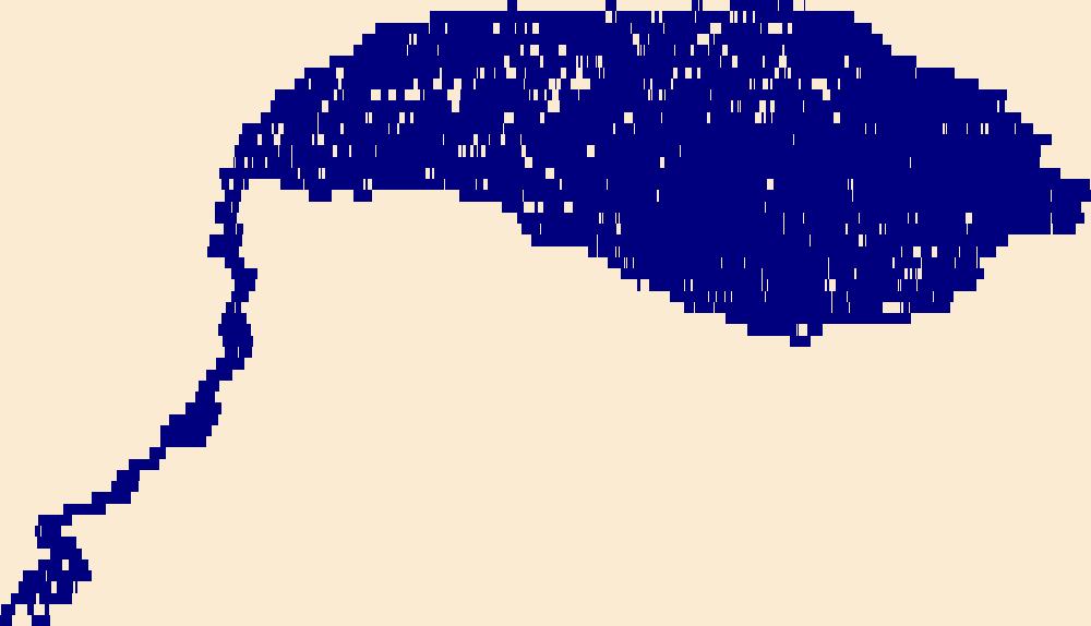
The High Resolution National Hydrography Dataset Plus (NHDPlus HR) is an integrated set of geospatial data layers, including the best available National Hydrography Dataset (NHD), the 10-meter 3D Elevation Program Digital Elevation Model (3DEP DEM), and the National Watershed Boundary Dataset (WBD). The NHDPlus HR combines the NHD, 3DEP DEMs, and WBD to create a stream network with linear referencing, feature naming, "value added attributes" (VAAs), elevation-derived catchments, and other features for hydrologic data analysis. The stream network with linear referencing is a system of data relationships applied to hydrographic systems so that one stream reach "flows" into another and "events" can be tied to and traced...

The High Resolution National Hydrography Dataset Plus (NHDPlus HR) is an integrated set of geospatial data layers, including the best available National Hydrography Dataset (NHD), the 10-meter 3D Elevation Program Digital Elevation Model (3DEP DEM), and the National Watershed Boundary Dataset (WBD). The NHDPlus HR combines the NHD, 3DEP DEMs, and WBD to create a stream network with linear referencing, feature naming, "value added attributes" (VAAs), elevation-derived catchments, and other features for hydrologic data analysis. The stream network with linear referencing is a system of data relationships applied to hydrographic systems so that one stream reach "flows" into another and "events" can be tied to and traced...
These data are the primary data used to estimate rainbow trout abundance and survival in the Colorado River, Glen and Grand Canyons. Refer to the analyses as per the associated journal manuscript (see Larger Work Citation). Prey availability, feeding efficiency, and competition reduce somatic growth and cause the collapse of a fish population" Nighttime boat electrofishing was used to sample rainbow trout four times per year in April, July, September, and January, from April 2012 through September 2016. A total of five reaches were sampled between Glen Canyon Dam (river kilometer [rkm] 0) to below the confluence with the Little Colorado River (located at rkm 130). Reaches ranged from two to six km in length. A total...
This U.S. Geological Survey (USGS) data release includes input and output tabular files associated with mean seasonal 2002 simulations of total nitrogen and total phosphorus loads of the northeastern United States. The mean seasonal (MS) simulations are performed using a dynamic configuration of the USGS’s Spatially Referenced Regression On Watershed attributes (dynamicSPARROW-MS) model, nonlinear regression techniques, and monitored data. Model development, calibration, and results are described in the related external resource (Schmadel et al., 2021).
This dataset is part of the U.S. Geological Survey (USGS) Great Lakes Coastal Wetland Restoration Assessment (GLCWRA) initiative. This data represents the location of dikes within the Lake Ontario Restoration Assessment (LORA) study area. The GLCWRA initiative identifies coastal wetland areas that have the greatest habitat restoration potential. The data model uses seven parameters to identify and rank wetland restoration areas, resulting in a composite index raster that can be used by ecological managers and planners to assist with the selection of wetland restoration sites. The parameters are Parameter 0: Mask, Parameter 1: Hydroperiod, Parameter 2: Wetland Soils, Parameter 3: Flowlines, Parameter 4: Conservation...

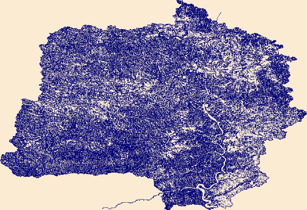
The High Resolution National Hydrography Dataset Plus (NHDPlus HR) is an integrated set of geospatial data layers, including the National Hydrography Dataset (NHD), National Watershed Boundary Dataset (WBD), and 3D Elevation Program Digital Elevation Model (3DEP DEM). The NHDPlus HR combines the NHD, 3DEP DEMs, and WBD to a data suite that includes the NHD stream network with linear referencing functionality, the WBD hydrologic units, elevation-derived catchment areas for each stream segment, "value added attributes" (VAAs), and other features that enhance hydrologic data analysis and routing.

The High Resolution National Hydrography Dataset Plus (NHDPlus HR) is an integrated set of geospatial data layers, including the National Hydrography Dataset (NHD), National Watershed Boundary Dataset (WBD), and 3D Elevation Program Digital Elevation Model (3DEP DEM). The NHDPlus HR combines the NHD, 3DEP DEMs, and WBD to a data suite that includes the NHD stream network with linear referencing functionality, the WBD hydrologic units, elevation-derived catchment areas for each stream segment, "value added attributes" (VAAs), and other features that enhance hydrologic data analysis and routing.

The High Resolution National Hydrography Dataset Plus (NHDPlus HR) is an integrated set of geospatial data layers, including the National Hydrography Dataset (NHD), National Watershed Boundary Dataset (WBD), and 3D Elevation Program Digital Elevation Model (3DEP DEM). The NHDPlus HR combines the NHD, 3DEP DEMs, and WBD to a data suite that includes the NHD stream network with linear referencing functionality, the WBD hydrologic units, elevation-derived catchment areas for each stream segment, "value added attributes" (VAAs), and other features that enhance hydrologic data analysis and routing.
This data release contains a comma-delimited ascii file of three same-day, discrete discharge measurements made at sites along selected reaches of Honomū Stream, Hawai'i on August 11, 2020. These discrete discharge measurements form what is commonly referred to as a “seepage run.” The intent of the seepage run is to quantify the spatial distribution of streamflow along the reach during fair-weather, low-flow conditions, generally characterized by negligible direct runoff within the reach. The measurements can be used to characterize the net seepage of water into (water gain) or out of (water loss) the stream channel between measurement sites provided that the measurements were made during stable, nonchanging flow...
This data release contains a comma-delimited ascii file of four same-day, discrete discharge measurements made at sites along selected reaches of Pāpio Gulch, Moloka'i, Hawai'i on January 28, 2021. These discrete discharge measurements form what is commonly referred to as a “seepage run.” The intent of the seepage run is to quantify the spatial distribution of streamflow along the reach during fair-weather, low-flow conditions, generally characterized by negligible direct runoff within the reach. The measurements can be used to characterize the net seepage of water into (water gain) or out of (water loss) the stream channel between measurement sites provided that the measurements were made during stable, nonchanging...
This data release contains numerous shapefiles that describe baseline characterization of the physical attributes of the riverine ecosystems in two national parks – Ozark National Scenic Riverways (ONSR), Missouri, and Buffalo National River (BNR), Arkansas. The individual metadata associated with each shapefile describe in detail the specific process steps, source inputs for the data, and the specific river the data characterizes.
This data release is part of a cooperative study to assess streamflow availability under low-flow conditions for streams on the island of Hawai'i and West Maui from 2021 to 2022. This data release contains seven child items that consist of the following files: (1) a metadata xml file describing the data release files and data attributes, (2) an annotated NWIS-Mapper screen-captured image showing the seepage-run measurement sites, and (3) a comma-delimited ascii data file with the discrete discharge measurements. These discrete discharge measurements form what is commonly referred to as a “seepage run.” The intent of the seepage run is to quantify the spatial distribution of streamflow along the reach during fair-weather,...
The grain size of sediment on the riverbed was measured during 20 surveys on the Elwha River, Washington, between 2006 and 2017. Most data were collected along the same transects where channel topography was measured (see related child item in this data release: https://www.sciencebase.gov/catalog/item/5a989288e4b06990606de04b). Measurements of sediment ranging from medium sand to boulders were made using the CobbleCam digital photographic technique (Warrick and others, 2009), which uses a calibrated autocorrelation algorithm (Rubin, 2004) to calculate the mean grain size of sediment from pixels in downward-looking digital photographs. This technique yields grain-size values accurate to within 14 percent of those...
Categories: Data;
Tags: CMGP,
Coastal and Marine Geology Program,
Elwha Dam (historical),
Elwha River,
Glines Canyon Dam (historical),
The High Resolution National Hydrography Dataset Plus (NHDPlus HR) is an integrated set of geospatial data layers, including the best available National Hydrography Dataset (NHD), the 10-meter 3D Elevation Program Digital Elevation Model (3DEP DEM), and the National Watershed Boundary Dataset (WBD). The NHDPlus HR combines the NHD, 3DEP DEMs, and WBD to create a stream network with linear referencing, feature naming, "value added attributes" (VAAs), elevation-derived catchments, and other features for hydrologic data analysis. The stream network with linear referencing is a system of data relationships applied to hydrographic systems so that one stream reach "flows" into another and "events" can be tied to and traced...

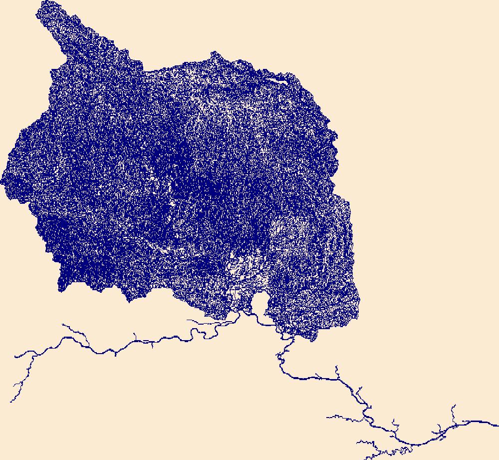
The High Resolution National Hydrography Dataset Plus (NHDPlus HR) is an integrated set of geospatial data layers, including the National Hydrography Dataset (NHD), National Watershed Boundary Dataset (WBD), and 3D Elevation Program Digital Elevation Model (3DEP DEM). The NHDPlus HR combines the NHD, 3DEP DEMs, and WBD to a data suite that includes the NHD stream network with linear referencing functionality, the WBD hydrologic units, elevation-derived catchment areas for each stream segment, "value added attributes" (VAAs), and other features that enhance hydrologic data analysis and routing.

The High Resolution National Hydrography Dataset Plus (NHDPlus HR) is an integrated set of geospatial data layers, including the National Hydrography Dataset (NHD), National Watershed Boundary Dataset (WBD), and 3D Elevation Program Digital Elevation Model (3DEP DEM). The NHDPlus HR combines the NHD, 3DEP DEMs, and WBD to a data suite that includes the NHD stream network with linear referencing functionality, the WBD hydrologic units, elevation-derived catchment areas for each stream segment, "value added attributes" (VAAs), and other features that enhance hydrologic data analysis and routing.
The High Resolution National Hydrography Dataset Plus (NHDPlus HR) is an integrated set of geospatial data layers, including the best available National Hydrography Dataset (NHD), the 10-meter 3D Elevation Program Digital Elevation Model (3DEP DEM), and the National Watershed Boundary Dataset (WBD). The NHDPlus HR combines the NHD, 3DEP DEMs, and WBD to create a stream network with linear referencing, feature naming, "value added attributes" (VAAs), elevation-derived catchments, and other features for hydrologic data analysis. The stream network with linear referencing is a system of data relationships applied to hydrographic systems so that one stream reach "flows" into another and "events" can be tied to and traced...

The High Resolution National Hydrography Dataset Plus (NHDPlus HR) is an integrated set of geospatial data layers, including the National Hydrography Dataset (NHD), National Watershed Boundary Dataset (WBD), and 3D Elevation Program Digital Elevation Model (3DEP DEM). The NHDPlus HR combines the NHD, 3DEP DEMs, and WBD to a data suite that includes the NHD stream network with linear referencing functionality, the WBD hydrologic units, elevation-derived catchment areas for each stream segment, "value added attributes" (VAAs), and other features that enhance hydrologic data analysis and routing.
|

|
