Filters: Tags: streamflow (X) > Date Range: {"choice":"month"} (X)
54 results (43ms)|
Filters
Date Types (for Date Range)
Types
Contacts
Categories Tag Types
|

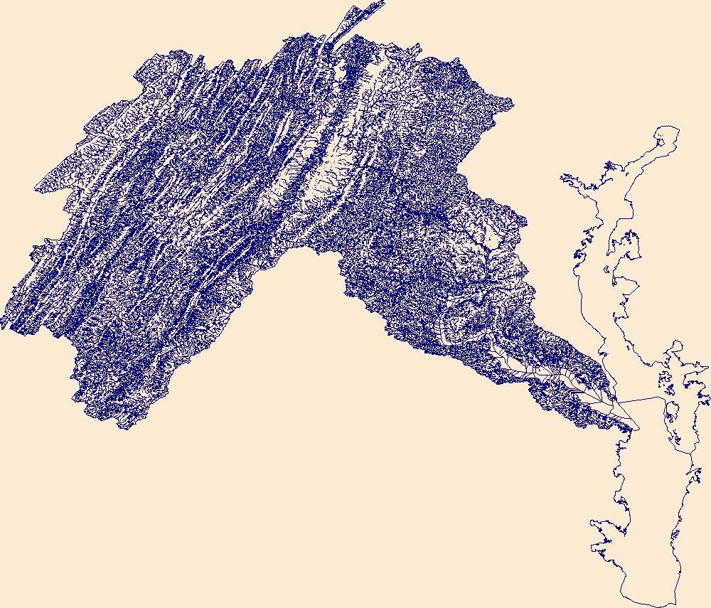
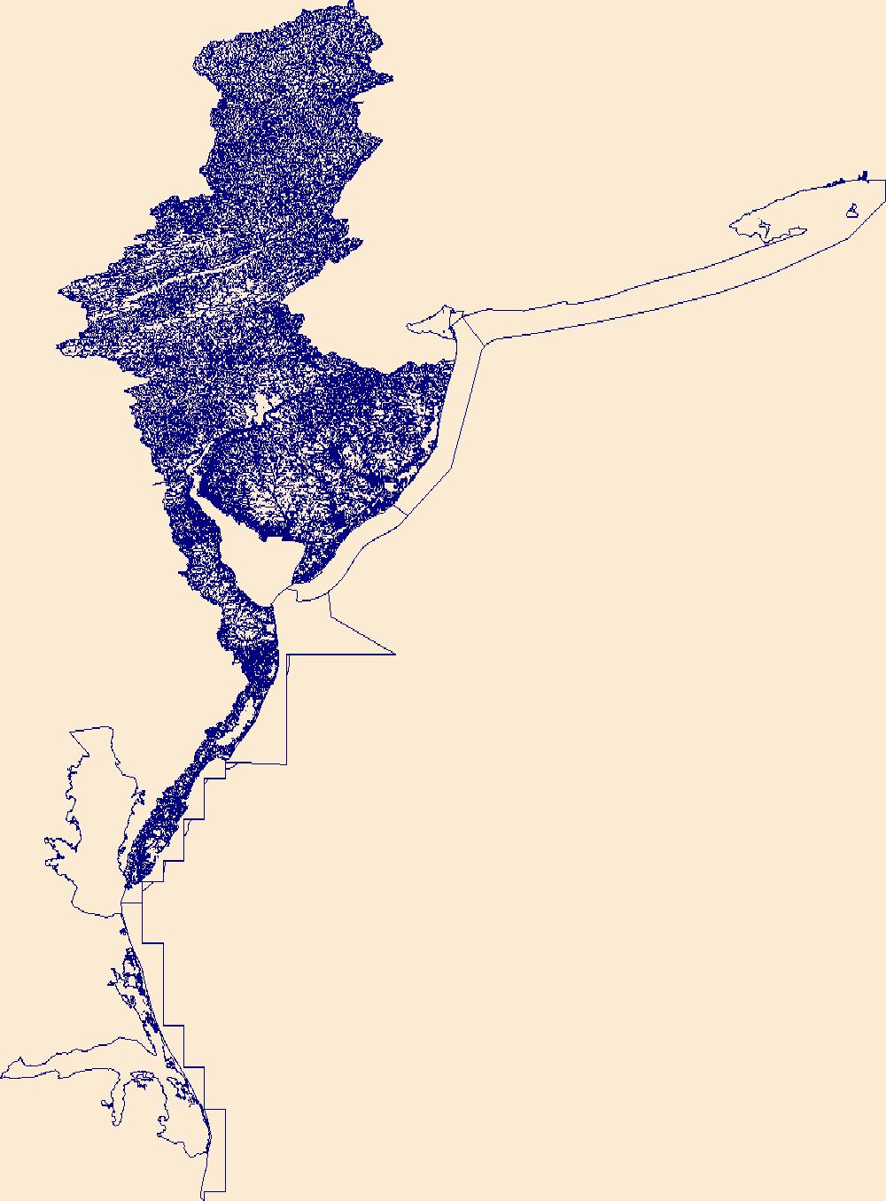
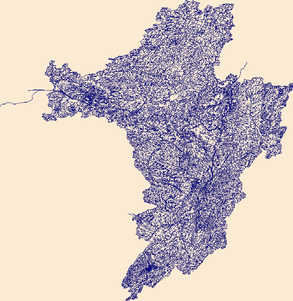
The High Resolution National Hydrography Dataset Plus (NHDPlus HR) is an integrated set of geospatial data layers, including the National Hydrography Dataset (NHD), National Watershed Boundary Dataset (WBD), and 3D Elevation Program Digital Elevation Model (3DEP DEM). The NHDPlus HR combines the NHD, 3DEP DEMs, and WBD to a data suite that includes the NHD stream network with linear referencing functionality, the WBD hydrologic units, elevation-derived catchment areas for each stream segment, "value added attributes" (VAAs), and other features that enhance hydrologic data analysis and routing.
Streams are classified as perennial (flowing uninterrupted, year-round) or intermittent (flowing part of the year) or ephemeral (flowing only during rainfall events). The classifications of “streamflow permanence” were primarily established in the middle 20th century and are often outdated and inaccurate today if they were not adjusted for changes in land use, wildfires, or climate.Understanding where streams are perennial is important for a variety of reasons. For example, perennial streams receive special regulatory protections under a variety of statutes, and provide important habitat for fish, wildlife, and other species. To predict the likelihood that streams are perennial, we compiled nearly 25,000 observations...
Categories: Project;
Types: Map Service,
OGC WFS Layer,
OGC WMS Layer,
OGC WMS Service;
Tags: 2016,
CASC,
Completed,
Data Visualization & Tools,
Data Visualization & Tools,
These data were compiled to assess physiological responses of plants to short-term changes in streamflow, both increased and decreased. Objective(s) of our study were to determine the degree to which plants with different habitat preferences and functional strategies responded to short-term increases or decreases in the elevation of the water table. These data represent streamflow rates, temperature, and metrics of plant water status. These data were collected in Glen Canyon National Recreation Area from March 13-27, 2021, and collected by the U.S. Geological Survey-Grand Canyon Monitoring and Research Center. Streamflow data were obtained from the Lees Ferry gage station, and temperature data were obtained from...
The data set includes the daily streamflow predictions from (Long Short-Term Memory) LSTM models for 45 basins (27 basins in New England region and 18 basins in Great Basin region) in contrasting hydroclimate regions (water-limited Great Basin region and energy-limited New England region) in the United States. Also, the shapefiles of study basins and hydroclimate regions, and data to support the statistical results, figures, and tables are included.
Categories: Data;
Types: Map Service,
OGC WFS Layer,
OGC WMS Layer,
OGC WMS Service;
Tags: Hydrology,
LSTM,
USGS Science Data Catalog (SDC),
Water Resources,
farming,

The High Resolution National Hydrography Dataset Plus (NHDPlus HR) is an integrated set of geospatial data layers, including the National Hydrography Dataset (NHD), National Watershed Boundary Dataset (WBD), and 3D Elevation Program Digital Elevation Model (3DEP DEM). The NHDPlus HR combines the NHD, 3DEP DEMs, and WBD to a data suite that includes the NHD stream network with linear referencing functionality, the WBD hydrologic units, elevation-derived catchment areas for each stream segment, "value added attributes" (VAAs), and other features that enhance hydrologic data analysis and routing.
This data release contains monthly 270-meter resolution Basin Characterization Model (BCMv8) climate and hydrologic variables for Localized Constructed Analog (LOCA; Pierce et al., 2014)-downscaled HadGEM2-CC Global Climate Model (GCM) for Representative Concentration Pathway (RCP) 4.5 (medium-low emissions) and 8.5 (high emissions) for hydrologic California. The LOCA climate scenarios span water years 1950 to 2099 with greenhouse-gas forcings beginning in 2006. The LOCA downscaling method has been shown to produce better estimates of extreme events and reduces the common downscaling problem of too many low-precipitation days (Pierce et al., 2014). Ten GCMs were selected from the full ensemble of models from the...
This data release contains monthly 270-meter resolution Basin Characterization Model (BCMv8) climate and hydrologic variables for Localized Constructed Analog (LOCA; Pierce et al., 2014)-downscaled HadGEM2-ES Global Climate Model (GCM) for Representative Concentration Pathway (RCP) 4.5 (medium-low emissions) and 8.5 (high emissions) for hydrologic California. The LOCA climate scenarios span water years 1950 to 2099 with greenhouse-gas forcings beginning in 2006. The LOCA downscaling method has been shown to produce better estimates of extreme events and reduces the common downscaling problem of too many low-precipitation days (Pierce et al., 2014). Ten GCMs were selected from the full ensemble of models from the...
The Colorado River is a crucial water source for millions of people in the Southwest. Warming temperatures, clearly documented in climate records for the Colorado River basin, are having an impact on the amount of annual streamflow yielded from rain and snow. Recent work has revealed that warming temperatures have played an increasingly important role over the past decades, both exacerbating droughts and dampening the effects of wet winters on high stream flows. Understanding and anticipating how warming temperatures will influence future water supply in the Colorado River basin is increasingly important for resource management, particularly in light of recent drought conditions. The overarching goals of this...
Categories: Project;
Types: Map Service,
OGC WFS Layer,
OGC WMS Layer,
OGC WMS Service,
Report;
Tags: 2017,
CASC,
Colorado River basin,
Completed,
Drought,
This U.S. Geological Survey (USGS) data release contains batch formatted annual peak streamflow data (PkFlows_AllSites.txt) through the 2020 water year for six selected USGS streamgages (01321000, 01342797, 01343060, 01346000, 01347000, and 01348000) that recorded the flood of October 31 – November 3, 2019, which severely affected the Mohawk Valley and southern Adirondack region in central New York State. This data release also contains batch formatted specification (PkFlows_AllSites.psf) and output (PEAKFLOWS_ALLSITES.PRT) files from log-Pearson type III (LPIII) flood-frequency analysis of the annual peak streamflow data in version 7.4 of the USGS PeakFQ software (Flynn and others, 2006), which implements the Bulletin...
Categories: Data;
Types: Map Service,
OGC WFS Layer,
OGC WMS Layer,
OGC WMS Service;
Tags: East Canada Creek,
Flood Science,
Groundwater and Streamflow Information,
Hydrology,
Low Flow or Peak Flow,
In 2019, the U.S. Geological Survey (USGS), in cooperation with the Blackfeet Water Department, initiated a multi-year hydrologic investigation of the Blackfeet Indian Reservation. The investigation was designed to increase understanding of the water resources of the Blackfeet Indian Reservation including Birch Creek which forms the southern boundary of the reservation. Streamflow is controlled in the headwaters of Birch Creek through the outflow from Swift Reservoir at Swift Dam. The data included in this data release was provided by the Pondera County Canal and Reservoir Company (PCCRC) and includes Swift Reservoir outflow daily streamflow values and daily streamflow values for three downstream diversions from...

The High Resolution National Hydrography Dataset Plus (NHDPlus HR) is an integrated set of geospatial data layers, including the National Hydrography Dataset (NHD), National Watershed Boundary Dataset (WBD), and 3D Elevation Program Digital Elevation Model (3DEP DEM). The NHDPlus HR combines the NHD, 3DEP DEMs, and WBD to a data suite that includes the NHD stream network with linear referencing functionality, the WBD hydrologic units, elevation-derived catchment areas for each stream segment, "value added attributes" (VAAs), and other features that enhance hydrologic data analysis and routing.

The High Resolution National Hydrography Dataset Plus (NHDPlus HR) is an integrated set of geospatial data layers, including the National Hydrography Dataset (NHD), National Watershed Boundary Dataset (WBD), and 3D Elevation Program Digital Elevation Model (3DEP DEM). The NHDPlus HR combines the NHD, 3DEP DEMs, and WBD to a data suite that includes the NHD stream network with linear referencing functionality, the WBD hydrologic units, elevation-derived catchment areas for each stream segment, "value added attributes" (VAAs), and other features that enhance hydrologic data analysis and routing.
Information about streamflow and streamflow variability is critical to assist natural resource managers when they make decisions related to the water needs of both human communities and ecosystems. In order for managers to effectively plan for and adapt to future climate and land cover conditions, they require information on changes that could occur in the distribution and quantity of water resources. Yet every watershed has a unique set of characteristics – such as differing topographies and geology – that affect how much water is available, the sources of water, and how it flows through the system. This means that water availability in every watershed can be affected differently by changes in climate and land...
Categories: Project;
Types: Map Service,
OGC WFS Layer,
OGC WMS Layer,
OGC WMS Service;
Tags: 2018,
CASC,
Projects by Region,
Rivers, Streams and Lakes,
Rivers, Streams and Lakes,
This data release contains monthly 270-meter resolution Basin Characterization Model (BCMv8) climate and hydrologic variables for Localized Constructed Analog (LOCA; Pierce et al., 2014)-downscaled CNRM-CM5 Global Climate Model (GCM) for Representative Concentration Pathway (RCP) 4.5 (medium-low emissions) and 8.5 (high emissions) for hydrologic California. The LOCA climate scenarios span water years 1950 to 2099 with greenhouse-gas forcings beginning in 2006. The LOCA downscaling method has been shown to produce better estimates of extreme events and reduces the common downscaling problem of too many low-precipitation days (Pierce et al., 2014). Ten GCMs were selected from the full ensemble of models from the fifth...
Note: this data release is currently being revised and is temporarily unavailable. This data release accompanies the USGS Techniques and Methods report titled: "The Basin Characterization Model - A Regional Water Balance Software Package", and includes all necessary Basin Characterization Model version 8 (BCMv8) inputs and outputs for water years 1896 to 2022. The BCMv8 was refined from the previous BCMv65 version to improve the accuracy of the water-balance components, particularly the recharge estimate. The new version includes seven new features: (1) monthly vegetation-specific actual evapotranspiration (AET) for 65 vegetation types, (2) spatially distributed calibration coefficients for snow accumulation and...
In support of a preliminary analysis performed by New York State Department of Environmental Conservation (NYSDEC) that found elevated nutrient levels along selected reaches of the Mohawk River, one-dimensional, unsteady, hydraulic and water-quality models using HEC-RAS and HEC-RAS Nutrient Simulation Module I (version 5.0.3) were developed by the U.S. Geological Survey (USGS) for the 127-mile reach of the Mohawk River between Rome and Cohoes, New York. The models were designed to accurately simulate within-channel flow conditions for this highly regulated, control structure dense river reach. The models were calibrated for the study period of May through September 2016 using best available streamflow, temperature,...
Types: Map Service,
OGC WFS Layer,
OGC WMS Layer,
OGC WMS Service;
Tags: Amsterdam,
Aquatic Biology,
Cohoes,
Environmental Health,
HEC-RAS,
This data release was produced by the U.S. Geological Survey (USGS) in cooperation with the Bureau of Reclamation to present the results of monitoring efforts on the Yellowstone River fish bypass channel according to the specifications of the Lower Yellowstone Adaptive Management and Monitoring Plan. The fish bypass channel was constructed to provide upstream migrating fish with a route around a diversion dam. The objective of this study is to monitor the physical and hydraulic characteristics of the bypass channel, including flow split, minimum depth for the deepest continuous 30 cross sectional feet, and mean channel velocity, which are summarized in the data files in this data release. Physical and hydraulic...
The USGS Wyoming-Montana Water Science Center (WY–MT WSC) completed a report (Sando and McCarthy, 2018) documenting methods for peak-flow frequency analysis following implementation of the Bulletin 17C guidelines (England and others, 2019). The methods are used to provide estimates of peak-flow quantiles for 66.7-, 50-, 42.9-, 20-, 10-, 4-, 2-, 1-, 0.5-, and 0.2-percent annual exceedance probabilities (AEPs) for selected USGS streamgages. This data release presents peak-flow frequency analyses based on methods described by Sando and McCarthy (2018), for selected streamgages in Carter, Custer, Fallon, Powder River, and Prairie Counties, and the Powder River Basin, based on data through water year 2022.
Types: Map Service,
OGC WFS Layer,
OGC WMS Layer,
OGC WMS Service;
Tags: Boxelder,
Carter County,
Custer County,
Fallon County,
Hydrology,

The High Resolution National Hydrography Dataset Plus (NHDPlus HR) is an integrated set of geospatial data layers, including the National Hydrography Dataset (NHD), National Watershed Boundary Dataset (WBD), and 3D Elevation Program Digital Elevation Model (3DEP DEM). The NHDPlus HR combines the NHD, 3DEP DEMs, and WBD to a data suite that includes the NHD stream network with linear referencing functionality, the WBD hydrologic units, elevation-derived catchment areas for each stream segment, "value added attributes" (VAAs), and other features that enhance hydrologic data analysis and routing.
In recent years, the USGS and partners have been integral in monitoring, analyzing, and modeling streamflow permanence. This community of practice includes key USGS scientists and partners who have been involved in the establishment and advancement of that science. The primary objective of this community is to provide an organized platform to document the activity and resources related to streamflow permanence. Additionally, we aim to facilitate more efficient collaboration among internal and external streamflow permanence experts.
|

|