Filters: Tags: streamflow (X) > Date Range: {"choice":"year"} (X)
501 results (15ms)|
Filters
Date Types (for Date Range)
Types
Contacts
Categories
Tag Types
|
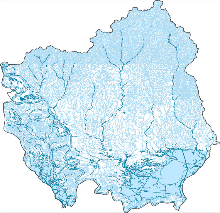
The High Resolution National Hydrography Dataset Plus (NHDPlus HR) is an integrated set of geospatial data layers, including the best available National Hydrography Dataset (NHD), the 10-meter 3D Elevation Program Digital Elevation Model (3DEP DEM), and the National Watershed Boundary Dataset (WBD). The NHDPlus HR combines the NHD, 3DEP DEMs, and WBD to create a stream network with linear referencing, feature naming, "value added attributes" (VAAs), elevation-derived catchments, and other features for hydrologic data analysis. The stream network with linear referencing is a system of data relationships applied to hydrographic systems so that one stream reach "flows" into another and "events" can be tied to and traced...
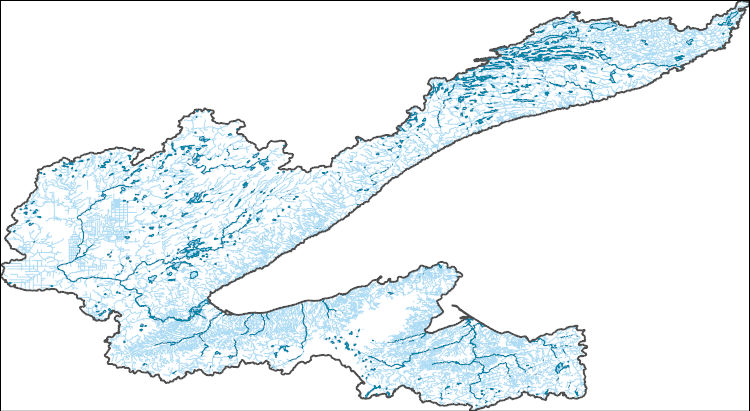
The High Resolution National Hydrography Dataset Plus (NHDPlus HR) is an integrated set of geospatial data layers, including the best available National Hydrography Dataset (NHD), the 10-meter 3D Elevation Program Digital Elevation Model (3DEP DEM), and the National Watershed Boundary Dataset (WBD). The NHDPlus HR combines the NHD, 3DEP DEMs, and WBD to create a stream network with linear referencing, feature naming, "value added attributes" (VAAs), elevation-derived catchments, and other features for hydrologic data analysis. The stream network with linear referencing is a system of data relationships applied to hydrographic systems so that one stream reach "flows" into another and "events" can be tied to and traced...

The High Resolution National Hydrography Dataset Plus (NHDPlus HR) is an integrated set of geospatial data layers, including the National Hydrography Dataset (NHD), National Watershed Boundary Dataset (WBD), and 3D Elevation Program Digital Elevation Model (3DEP DEM). The NHDPlus HR combines the NHD, 3DEP DEMs, and WBD to a data suite that includes the NHD stream network with linear referencing functionality, the WBD hydrologic units, elevation-derived catchment areas for each stream segment, "value added attributes" (VAAs), and other features that enhance hydrologic data analysis and routing.

The High Resolution National Hydrography Dataset Plus (NHDPlus HR) is an integrated set of geospatial data layers, including the National Hydrography Dataset (NHD), National Watershed Boundary Dataset (WBD), and 3D Elevation Program Digital Elevation Model (3DEP DEM). The NHDPlus HR combines the NHD, 3DEP DEMs, and WBD to a data suite that includes the NHD stream network with linear referencing functionality, the WBD hydrologic units, elevation-derived catchment areas for each stream segment, "value added attributes" (VAAs), and other features that enhance hydrologic data analysis and routing.

The High Resolution National Hydrography Dataset Plus (NHDPlus HR) is an integrated set of geospatial data layers, including the National Hydrography Dataset (NHD), National Watershed Boundary Dataset (WBD), and 3D Elevation Program Digital Elevation Model (3DEP DEM). The NHDPlus HR combines the NHD, 3DEP DEMs, and WBD to a data suite that includes the NHD stream network with linear referencing functionality, the WBD hydrologic units, elevation-derived catchment areas for each stream segment, "value added attributes" (VAAs), and other features that enhance hydrologic data analysis and routing.
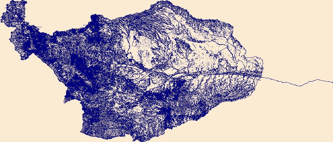
The High Resolution National Hydrography Dataset Plus (NHDPlus HR) is an integrated set of geospatial data layers, including the best available National Hydrography Dataset (NHD), the 10-meter 3D Elevation Program Digital Elevation Model (3DEP DEM), and the National Watershed Boundary Dataset (WBD). The NHDPlus HR combines the NHD, 3DEP DEMs, and WBD to create a stream network with linear referencing, feature naming, "value added attributes" (VAAs), elevation-derived catchments, and other features for hydrologic data analysis. The stream network with linear referencing is a system of data relationships applied to hydrographic systems so that one stream reach "flows" into another and "events" can be tied to and traced...
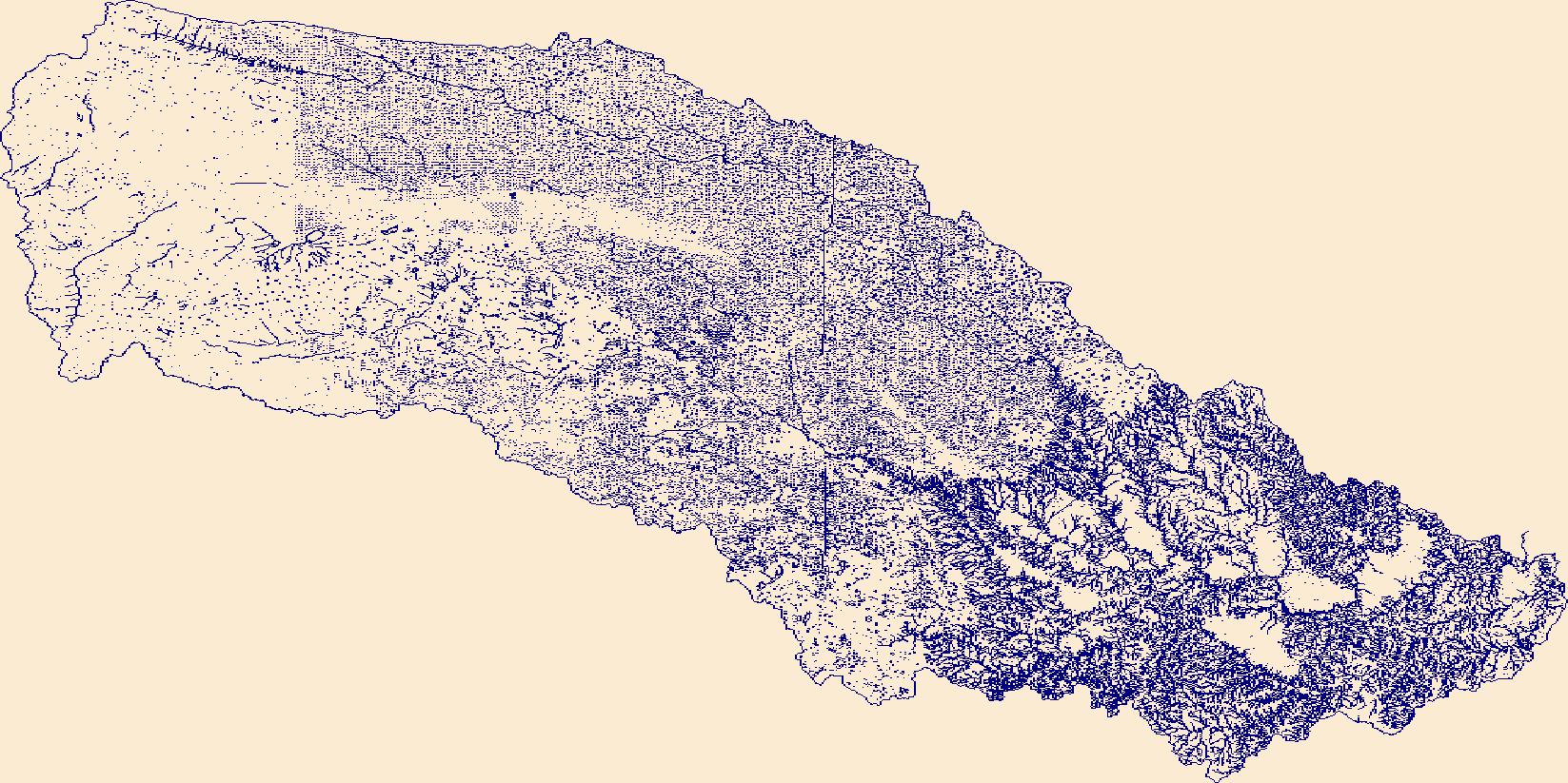
The High Resolution National Hydrography Dataset Plus (NHDPlus HR) is an integrated set of geospatial data layers, including the best available National Hydrography Dataset (NHD), the 10-meter 3D Elevation Program Digital Elevation Model (3DEP DEM), and the National Watershed Boundary Dataset (WBD). The NHDPlus HR combines the NHD, 3DEP DEMs, and WBD to create a stream network with linear referencing, feature naming, "value added attributes" (VAAs), elevation-derived catchments, and other features for hydrologic data analysis. The stream network with linear referencing is a system of data relationships applied to hydrographic systems so that one stream reach "flows" into another and "events" can be tied to and traced...
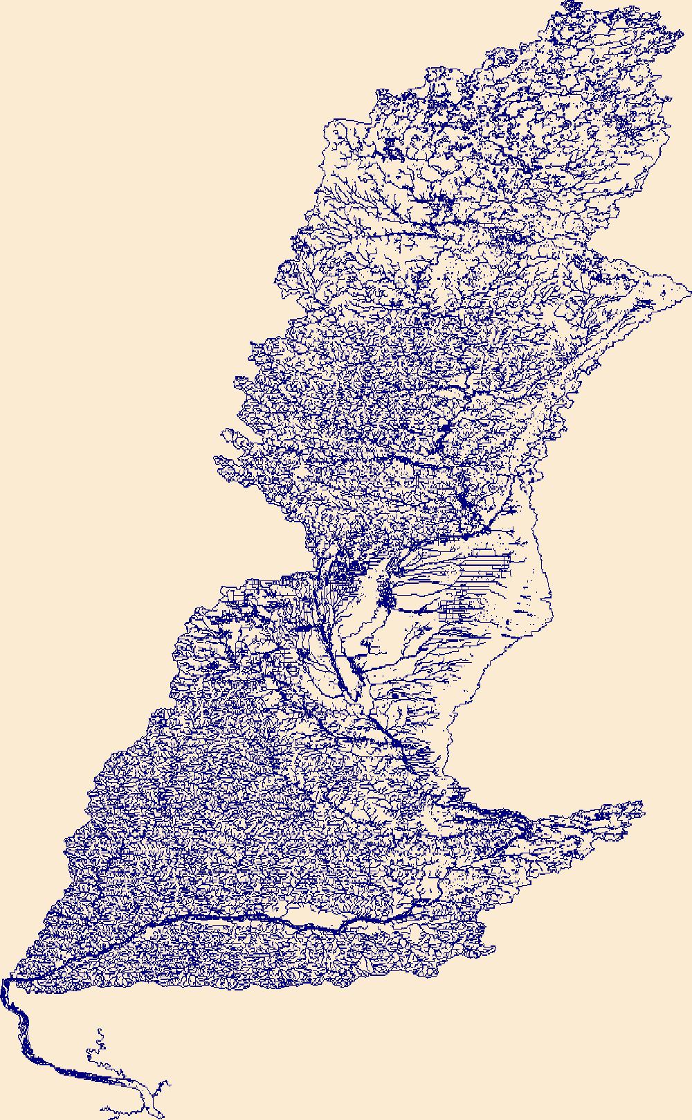
The High Resolution National Hydrography Dataset Plus (NHDPlus HR) is an integrated set of geospatial data layers, including the best available National Hydrography Dataset (NHD), the 10-meter 3D Elevation Program Digital Elevation Model (3DEP DEM), and the National Watershed Boundary Dataset (WBD). The NHDPlus HR combines the NHD, 3DEP DEMs, and WBD to create a stream network with linear referencing, feature naming, "value added attributes" (VAAs), elevation-derived catchments, and other features for hydrologic data analysis. The stream network with linear referencing is a system of data relationships applied to hydrographic systems so that one stream reach "flows" into another and "events" can be tied to and traced...

The High Resolution National Hydrography Dataset Plus (NHDPlus HR) is an integrated set of geospatial data layers, including the National Hydrography Dataset (NHD), National Watershed Boundary Dataset (WBD), and 3D Elevation Program Digital Elevation Model (3DEP DEM). The NHDPlus HR combines the NHD, 3DEP DEMs, and WBD to a data suite that includes the NHD stream network with linear referencing functionality, the WBD hydrologic units, elevation-derived catchment areas for each stream segment, "value added attributes" (VAAs), and other features that enhance hydrologic data analysis and routing.
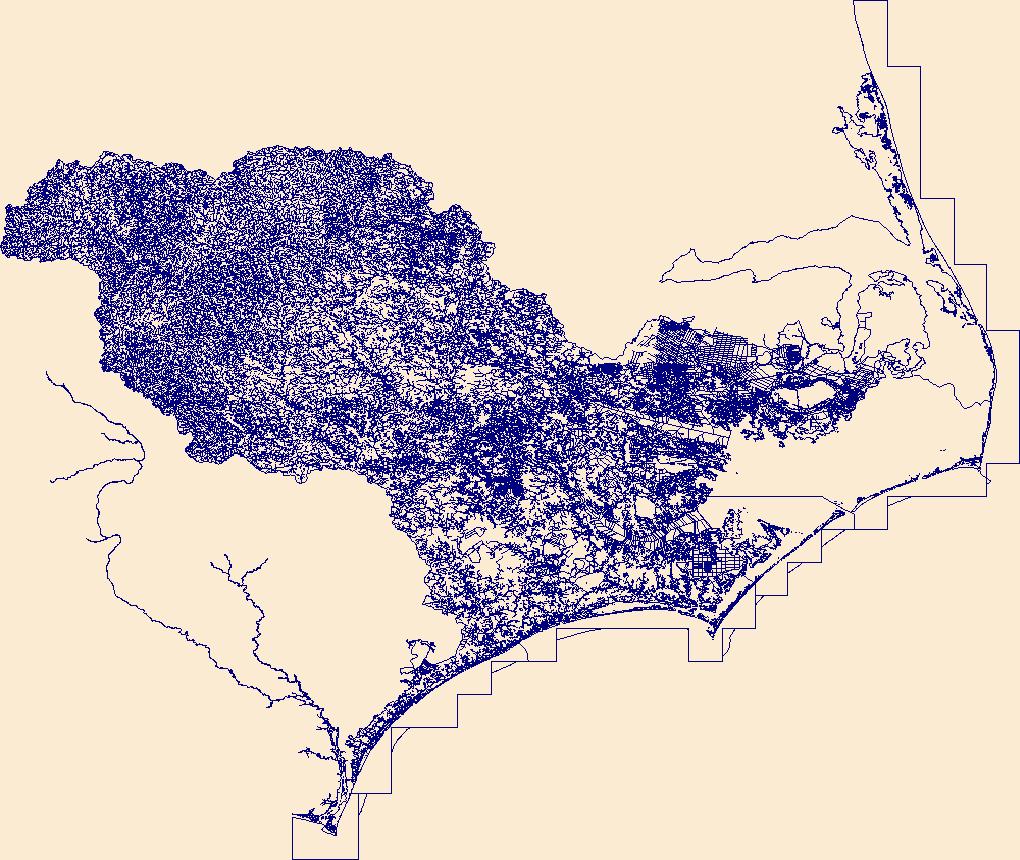
The High Resolution National Hydrography Dataset Plus (NHDPlus HR) is an integrated set of geospatial data layers, including the best available National Hydrography Dataset (NHD), the 10-meter 3D Elevation Program Digital Elevation Model (3DEP DEM), and the National Watershed Boundary Dataset (WBD). The NHDPlus HR combines the NHD, 3DEP DEMs, and WBD to create a stream network with linear referencing, feature naming, "value added attributes" (VAAs), elevation-derived catchments, and other features for hydrologic data analysis. The stream network with linear referencing is a system of data relationships applied to hydrographic systems so that one stream reach "flows" into another and "events" can be tied to and traced...
The High Resolution National Hydrography Dataset Plus (NHDPlus HR) is an integrated set of geospatial data layers, including the best available National Hydrography Dataset (NHD), the 10-meter 3D Elevation Program Digital Elevation Model (3DEP DEM), and the National Watershed Boundary Dataset (WBD). The NHDPlus HR combines the NHD, 3DEP DEMs, and WBD to create a stream network with linear referencing, feature naming, "value added attributes" (VAAs), elevation-derived catchments, and other features for hydrologic data analysis. The stream network with linear referencing is a system of data relationships applied to hydrographic systems so that one stream reach "flows" into another and "events" can be tied to and traced...
This data release contains a comma-delimited ascii file of 16 discrete discharge measurements made at sites along selected reaches of He'eia Stream and 'Ioleka'a Stream, O'ahu, Hawai'i, on August 9, 2022. These discrete discharge measurements form what is commonly referred to as a "seepage run." The intent of the seepage run is to quantify the spatial distribution of streamflow along the reach during fair-weather, low-flow conditions that are generally characterized by negligible direct runoff within the reach. The measurements can be used to characterize the net seepage of water into (water gain) or out of (water loss) the stream channel between measurement sites provided that the measurements were made during...
These data are the primary data used to model rainbow trout growth in Glen Canyon. Fish growth data were collected from nighttime boat electrofishing field campaigns conducted five to six times per year in April, July, September, and January, from April 2012 through November 2021 for a total of 9798 observations of mark-recapture-based growth. Sampling was conducted in a five km reach in the lower portion of the Glen Canyon tailwater (3.7-8.9 km upstream of Lees Ferry, AZ). Two nights of sampling occurred on each trip, with the central 2-3 km of the reach sampled on both nights. After capture, fish were kept in aerated 40-L buckets and transported to a central processing location. Groups of 10-15 fish were anesthetized...
This data release has been deprecated. Please see new data release here: https://doi.org/10.5066/P9CIK9ZF. This data release documents the digital data used to produce flood-inundation maps for a range of gage heights (stages) for the Sabinal River near Utopia, Tex. The simulated flood-inundation maps correspond to a range in stage from 7 to 24 feet (ft) at U.S. Geological Survey (USGS) streamgage 08197970 Sabinal River at Utopia, Tex. at intervals of 0.5-ft. The maps were created for a 10-mile reach of the Sabinal River extending from USGS streamgage 08197936 Sabinal River below Mill Creek near Vanderpool, Tex. to USGS streamgage 08197970 Sabinal River at Utopia, Tex. (hereinafter referred to as the “Utopia gage”)...
IMPORTANT NOTE: More recent versions of these data release are available at this link. This dataset includes spatial locations where streamflow permanence observations (continuous flow, discontinuous flow, and dry) were recorded using the FLOwPER (FLOw PERmanence) field survey available in the Survey 123 and S1 mobile application. Additional information to describe the field conditions are included as part of the survey. Field observations in the FLOwPER Database have not been processed for quality control including spatial data accuracy or association with a stream network such as the National Hydrography Dataset. Streamflow permanence observations are collected from several governmental and non-governmental organizations...
The continental United States (CONUS) was modeled to produce simulations of historical and potential future streamflow using the Precipitation-Runoff Modeling System (PRMS) application of the USGS National Hydrologic Model Infrastructure (NHMI; Regan and others, 2018). This child page specifically contains outputs of streamflow for each stream segment in the model domain and is based on parameterization with dynamic land cover. The parameters that were allowed to vary were related to dominant land cover type, percent impervious area, and precipitation interception by the plant canopy and snowpack.The PRMS parameters describing vegetation and impervious area were derived from annual estimates of land cover to incorporate...
The National Water Quality Network (NWQN) for Rivers and Streams includes 110 surface-water river and stream sites monitored by the U.S. Geological Survey (USGS) National Water Quality Program, National Water-Quality Assessment (NAWQA) Project. The NWQN includes 20 large river coastal sites, 41 large river inland sites, 30 wadeable stream reference sites, 10 wadeable stream urban sites, and 9 wadeable stream agricultural sites. In addition to the 110 NWQN sites, 36 sites from the USGS Cooperative Water Program are also included in this data release. This data release provides streamflow, nutrient, pesticide and sediment data collected and analyzed by NWQN and other historical water-quality networks from 1950-2022....
Categories: Data;
Tags: United States,
nutrient content,
pesticide and herbicide contamination,
river systems,
sediment transport,
The data includes dates, places, and times of sampling events for eggs of invasive Grass Carp (Ctenopharyngodon idella) in tributaries to the Great Lakes in 2021 and 2022. Reference data on locations and dates sampled, gears used, and effort are included. Developmental stages for a subset of undamaged, fertilized eggs are provided. Tables include common fields to allow for integration into a relational database to aid data extraction and associating data among tables. First posted: September 2023 Revised: November 2023 (version 1.1)
Categories: Data,
Data Release - Revised;
Tags: Cuyahoga River,
Grand River (Ohio, USA),
Grass Carp,
Great Lakes,
Huron River (Ohio, USA),
A monthly water balance model (MWBM) was driven with precipitation and temperature using a station-based dataset for current conditions (1949 to 2010) and selected statistically-downscaled general circulation models (GCMs) for current and future conditions (1950 to 2099) across the conterminous United States (CONUS) using hydrologic response units from the Geospatial Fabric for National Hydrologic Modeling (Viger and Bock, 2014). Six MWBM output variables (actual evapotranspiration (AET), potential evapotranspiration (PET), runoff (RO), streamflow (STRM), soil moisture storage (SOIL), and snow water equivalent (SWE)) and the two MWBM input variables (atmospheric temperature (TAVE) and precipitation (PPT)) were summarized...
Categories: Data,
Data Release - Revised;
Types: Map Service,
NetCDF OPeNDAP Service,
OGC WFS Layer,
OGC WMS Layer,
OGC WMS Service;
Tags: USGS Science Data Catalog (SDC),
United States,
Water Resources,
hydrology,
inlandWaters,
These data were released prior to the October 1, 2016 effective date for the USGS’s policy dictating the review, approval, and release of scientific data as referenced in USGS Survey Manual Chapter 502.8 Fundamental Science Practices: Review and Approval of Scientific Data for Release. This arc and point data set contains streamflow-measurement sites and reaches indicating streamflow gain or loss under base-flow conditions along the Republican River and tributaries in Nebraska during October 10 to 18, 1978 (U.S. Geological Survey, 1980). The streamflow measurements were made to obtain data on ground-water/surface-water interaction. Flow was observed visually to be zero, was measured, or was estimated at 254 sites....
|

|