Filters: Tags: water (X)
979 results (139ms)|
Filters
Date Range
Extensions Types
Contacts
Categories
Tag Types
|
In 2001, through the efforts of the 3000 member groups of the Teaming With Wildlife Coalition (http://www.teaming.com), the US Congress passed legislation now known as the State and Tribal Wildlife Grants Program (SWG) and created the nation’s core initiative for conserving our country’s biodiversity and thereby precluding the necessity of listing more species as threatened and endangered. Planning and actions to recover species that have become endangered are controversial and expensive. Annual spending on listed species in the United States has increased more than six fold over the past 10 years, to a level of over $600 million a year. The SWG program promotes proactive and collaborative conservation action before...
Categories: Publication;
Types: Citation,
Map Service,
OGC WFS Layer,
OGC WMS Layer,
OGC WMS Service;
Tags: ecoregion,
grassland,
map,
plan,
priority,
This portal is a web mapping platform managed and curated by members of various programs and cooperator groups within the Pacific Southwest Region, U.S. Fish and Wildlife Service. It is designed to showcase spatial information for particular geographies, topics, projects and administrative offices. Various searchable topics and data layers presented on this site include subsets of the data available across the Data Basin system. Members and visitors can use this portal to use or share existing maps or create their own custom maps.
Types: Map Service,
OGC WFS Layer,
OGC WMS Layer,
OGC WMS Service;
Tags: California,
GIS,
Nevada,
agriculture,
bird,
This New Mexico Statewide Resources Assessment, Strategy and Response Plan intends to guide long-term Division management, but as importantly, to provide useful information to our many partners who work together to create and maintain sustainable forests and their many benefits. The Forestry Division's central purpose is to promote healthy, sustainable forests in New Mexico for the benefit of current and future generations. This mission is accomplished by working with partners interested in improving the health of the state’s forests and watersheds. This document helps the Division meet two directives: the New Mexico Forest and Watershed Health Plan, completed in 2004, identifying the need for an all resources...
Categories: Publication;
Types: Citation,
Map Service,
OGC WFS Layer,
OGC WMS Layer,
OGC WMS Service;
Tags: GIS,
connectivity,
development,
economic,
endangered,
Las colecciones del Observatorio Ambiental se encuentran conformadas por documentos y referencias de publicaciones enfocadas en las problemáticas de medio ambiente sobre el estado de Chihuahua y sus zonas aledañas, tanto dentro del territorio nacional, como con Estados Unidos. El proceso de administración y manejo de las colecciones consiste en la búsqueda, selección, clasificación y catalogación de la información pertinente al estado de Chihuahua.
Types: Map Service,
OGC WFS Layer,
OGC WMS Layer,
OGC WMS Service;
Tags: Chihuahua,
Spanish,
climate,
contamination,
desertification,
The Sevilleta LTER supports a long-term, integrated, interdisciplinary research program addressing key hypotheses on pattern and process in aridland ecosystems. Sevilleta LTER research includes studies in desert grassland and shrubland communities, and riparian and mountain forests emphasizing pulse driven processes in space and time. Key drivers (e.g., climate, fire, water, resource availability) govern dynamics in each landscape component. Our focus on how biotic and abiotic drivers affect spatial and temporal dynamics of aridland ecosystems allows us to conduct long-term research that addresses important basic theories and yet has significant relevance to regional, national and international priorities. The...
Types: Map Service,
OGC WFS Layer,
OGC WMS Layer,
OGC WMS Service;
Tags: Chihuahuan Desert,
English,
Mojave Desert,
Sonoran Desert,
US,
Approximately 5,000 of the 6,900 U.S. Geological Survey sampling stations are equipped with telemetry to transmit data on streamflow, temperature, and other parameters back to a data base for real-time viewing via the World Wide Web. A map of the realtime stations is produced every day. This map service pulls from the US Geological Survey throughout the day. To find out more information, or, to retrieve data directory, see the water watch web site at: http://waterwatch.usgs.gov/.
Categories: Data;
Types: ArcGIS REST Map Service,
Map Service;
Tags: Flooding,
Streamflow,
Streams,
realtime water quality,
temperature,
The Hydrology Line Feature Class defines linear hydrographic features on RSL and in the region of hydrologic influence (RHI). The line feature class is composed of NHD Plus streams outside of the refuge borders in the region of hydrologic influence (RHI) and more detailed digitzed canals, ditches and streams on RSL based off 2010 National Agriculture Imagery Program (NAIP) 1 meter aerial imagery.
Categories: Data;
Types: ArcGIS REST Map Service,
ArcGIS Service Definition,
Downloadable,
Map Service,
OGC WFS Layer,
OGC WMS Layer,
Shapefile;
Tags: Canal,
Hydrology,
National Wildlife Refuge,
Nevada,
Ruby Lake NWR,
Data release: Predicting Water Temperature Dynamics of Unmonitored Lakes with Meta Transfer Learning
Climate change and land use change have been shown to influence lake temperatures and water clarity in different ways. To better understand the diversity of lake responses to climate change and give managers tools to manage individual lakes, we focused on improving prediction accuracy for daily water temperature profiles in 2,332 lakes during 1980-2019. The data are organized into these items: This research was funded by the Department of the Interior Northeast and North Central Climate Adaptation Science Centers, a Midwest Glacial Lakes Fish Habitat Partnership grant through F&WS Access to computing facilities was provided by USGS Advanced Research Computing, USGS Yeti Supercomputer (https://doi.org/10.5066/F7D798MJ)....
Geospatial data that is a derivative land cover product depicting woodland on topographic maps.

This dataset covers the southern half of the Southern Rockies Landscape Conservation Cooperative. It was aggregated and converted to raster by Conservation Biology Institute as part of a soil vulnerability study funded in part by the Southern Rockies LCC. The soil data come from a digital soil survey, the most detailed level of soil geographic data developed by the National Cooperative Soil Survey. The information was prepared by digitizing maps, by compiling information onto a planimetric correct base and digitizing, or by revising digitized maps using remotely sensed and other information. This data set consists of georeferenced digital map data and computerized attribute data. The map data are in a soil survey...

This dataset covers the northern half of the Southern Rockies Landscape Conservation Cooperative. It was aggregated and converted to raster by Conservation Biology Institute as part of a soil vulnerability study funded in part by the Southern Rockies LCC. The soil data come from a digital soil survey, the most detailed level of soil geographic data developed by the National Cooperative Soil Survey. The information was prepared by digitizing maps, by compiling information onto a planimetric correct base and digitizing, or by revising digitized maps using remotely sensed and other information. This data set consists of georeferenced digital map data and computerized attribute data. The map data are in a soil survey...

A reservation of water for in-stream use is a water right that protects specific in-stream water uses, such as fish spawning or recreation. It sets aside the water necessary for these activities and keeps later water users from appropriating water that may affect the in-stream activity. This dataset includes those features that are represented by polygons. This dataset includes additional information extracted from the Alaska Land Administration System by the Conservation Biology Institute. Water can be reserved for one or more permissible uses on a particular part of a stream or lake during a certain period of time. Under AS 46.15.145, permissible in-stream uses include: Protection of fish and wildlife habitat,...

A reservation of water for in-stream use is a water right that protects specific in-stream water uses, such as fish spawning or recreation. It sets aside the water necessary for these activities and keeps later water users from appropriating water that may affect the in-stream activity. This dataset includes those features that are represented by points. This dataset includes additional information extracted from the Alaska Land Administration System by the Conservation Biology Institute. Water can be reserved for one or more permissible uses on a particular part of a stream or lake during a certain period of time. Under AS 46.15.145, permissible in-stream uses include: Protection of fish and wildlife habitat,...
Most of the annual streamflow in the western United States originates as snowfall that has accumulated in the mountains during the winter and early spring. As the snowpack accumulates, hydrologists estimate the runoff that will occur when it melts. Measurements of snow water equivalent at selected manual snow courses and automated SNOTEL sites, along with precipitation, antecedent streamflow, and indices of the El Ni?o / Southern Oscillation are used in computerized statistical and simulation models to prepare runoff forecasts. These forecasts are coordinated between hydrologists in the Natural Resources Conservation Service and the National Weather Service. Unless otherwise specified, all forecasts are for flows...
Categories: Data;
Types: Document;
Tags: State Government,
University of Wyoming,
WRDS,
Water Resources Data System,
annual streamflow,
NOTE: RESTRICTED DATA. Contact the Wyoming Department of Environmental Quality for access http://deq.state.wy.us/wqd/. This database contains information on over 900 public water supplies in Wyoming, including location data (some locations collected with GPS), and enforcement and compliance tracking related to regulation compliance to the Safe Drinking Water Act. The database was compiled in dBase format, containing latitude and longitude fields which allows it to be easily converted by a GIS into a spatial database. It is currently distributed in ArcView shapefile and ARC/INFO coverage export format, though these versions may not be as up-to-date as the database in dBase format. Contact Wyoming's Dept. of Environmental...
Types: Offline Data;
Tags: DEQ,
GPS,
State Government,
Wyoming,
Wyoming Department of Environmental Quality,
This dataset represents an aquifer sensitivity rating for naturally occurring recharge in the State of Wyoming. This dataset is specifically to be used within a DRASTIC-type aquifer sensitivity/vulnerability analysis. The dataset is in raster format with 500 meter cell size. For more details about this dataset, please refer to this report: Hamerlinck, J.D. and Arneson, C.S., editors, 1998, Wyoming Ground-Water Vulnerability Assessment Handbook: Volume 1. Background, Model Development, and Aquifer Sensitivity Analysis: Wyoming Geographic Information Science Center Publication WyGISC 98-01-1, University of Wyoming, Laramie, WY.
Categories: Data;
Types: Downloadable;
Tags: Wyoming,
annual,
aquifer,
aquifer sensitivity,
groundwater vulnerability,
This project was conducted to evaluate the feasibility of using geothermal effluents for developing and maintaining waterfowl wetlands. Information in the document pertains to a seven State area the West where geothermal resources have development potential. Information is included on physiochemical characteristics of geothermal effluents; known effects of constituents in the water on a wetland ecosystem and water quality criteria for maintaining a viable wetland; potential of sites for wetland development and disposal of effluent water from geothermal facilities; methods of ‘disposal of effluents, including advantages of each method and associated costs; legal and Institutional constraints which could affect geothermal...
Categories: Publication;
Types: Citation;
Tags: Gas,
National Energy Technology Laboratory,
facility,
hydrate,
interactions,
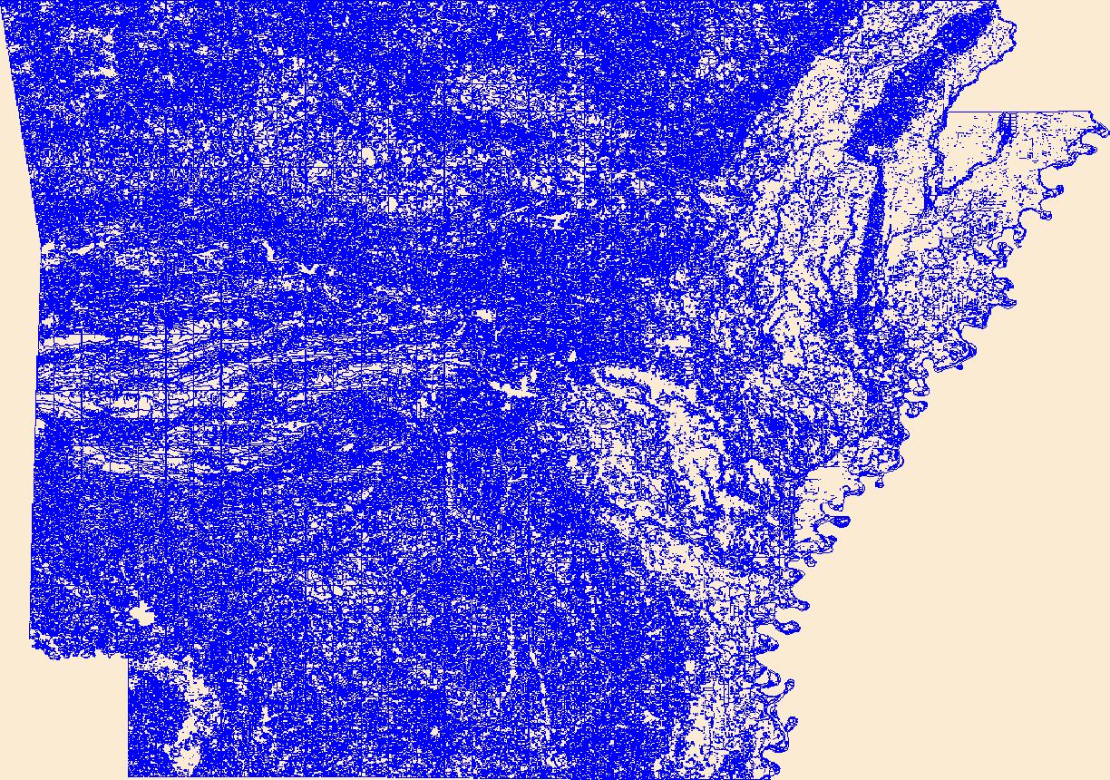
Geospatial data that is a derivative land cover product depicting woodland on topographic maps.
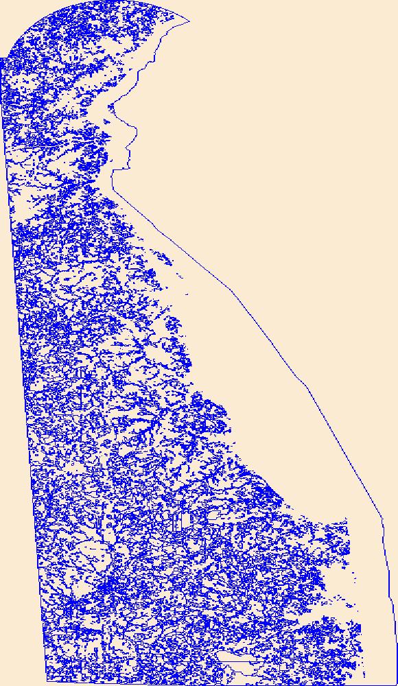
Geospatial data that is a derivative land cover product depicting woodland on topographic maps.
|

|
