Filters: Tags: wells (X) > partyWithName: U.S. Geological Survey (X)
287 results (52ms)|
Filters
Date Range
Extensions Types Contacts
Categories Tag Types Tag Schemes |

USGS Historical Quadrangle in GeoPDF.
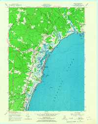
USGS Historical Quadrangle in GeoPDF.
This archive contains the input data for the conceptual well locations for the logistic mapping. Data were computed for either the well location or within a buffer area of the well location, as specified in the parameter definition.
This archive contains the logistic mapping output vulnerability difference rasters at the conceptual well locations. Data are provided in rasters containing the differences between estimated probabilities of nitrate concentrations greater than 2 milligrams per liter at hypothetical 150 feet and 300 feet deep wells for sequential five-year categories when one or both of the predicted probabilities was equal to or greater than 50 percent.
Categories: Data;
Types: Downloadable,
GeoTIFF,
Map Service,
Raster;
Tags: Drinking Water,
Groundwater,
Puget Sound,
Washington,
Wells,

These data were released prior to the October 1, 2016 effective date for the USGS’s policy dictating the review, approval, and release of scientific data as referenced in USGS Survey Manual Chapter 502.8 Fundamental Science Practices: Review and Approval of Scientific Data for Release. Digital surfaces and thicknesses of selected hydrogeologic units of the Floridan aquifer system were developed to define an updated hydrogeologic framework as part of the U.S. Geological Survey Groundwater Resources Program. This feature class contains contour lines generated from the OCAPLPZ raster.

These data were released prior to the October 1, 2016 effective date for the USGS’s policy dictating the review, approval, and release of scientific data as referenced in USGS Survey Manual Chapter 502.8 Fundamental Science Practices: Review and Approval of Scientific Data for Release. Digital surfaces and thicknesses of selected hydrogeologic units of the Floridan aquifer system were developed to define an updated hydrogeologic framework as part of the U.S. Geological Survey Groundwater Resources Program. This feature class contains a line representing the northern boundary extent line of the OCAPLPZ.
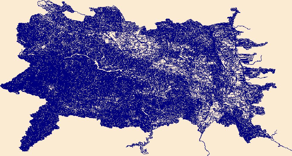
The National Hydrography Dataset (NHD) is a feature-based database that interconnects and uniquely identifies the stream segments or reaches that make up the nation's surface water drainage system. NHD data was originally developed at 1:100,000-scale and exists at that scale for the whole country. This high-resolution NHD, generally developed at 1:24,000/1:12,000 scale, adds detail to the original 1:100,000-scale NHD. (Data for Alaska, Puerto Rico and the Virgin Islands was developed at high-resolution, not 1:100,000 scale.) Local resolution NHD is being developed where partners and data exist. The NHD contains reach codes for networked features, flow direction, names, and centerline representations for areal water...
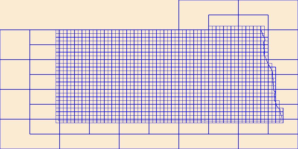
This data represents the map extent for current and historical USGS topographic maps for the United States and Territories, including 1 X 2 Degree, 1 X 1 Degree, 30 X 60 Minute, 15 X 15 Minute, 7.5 X 7.5 Minute, and 3.75 X 3.75 Minute. The grid was generated using ESRI ArcInfo GIS software.
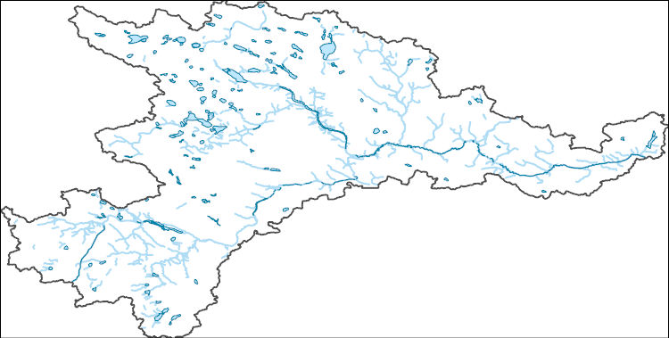
The National Hydrography Dataset (NHD) is a feature-based database that interconnects and uniquely identifies the stream segments or reaches that make up the nation's surface water drainage system. NHD data was originally developed at 1:100,000-scale and exists at that scale for the whole country. This high-resolution NHD, generally developed at 1:24,000/1:12,000 scale, adds detail to the original 1:100,000-scale NHD. (Data for Alaska, Puerto Rico and the Virgin Islands was developed at high-resolution, not 1:100,000 scale.) Local resolution NHD is being developed where partners and data exist. The NHD contains reach codes for networked features, flow direction, names, and centerline representations for areal water...
Geospatial data includes structures and other selected map features.

Layers of geospatial data include roads, airports, trails, and railroads.
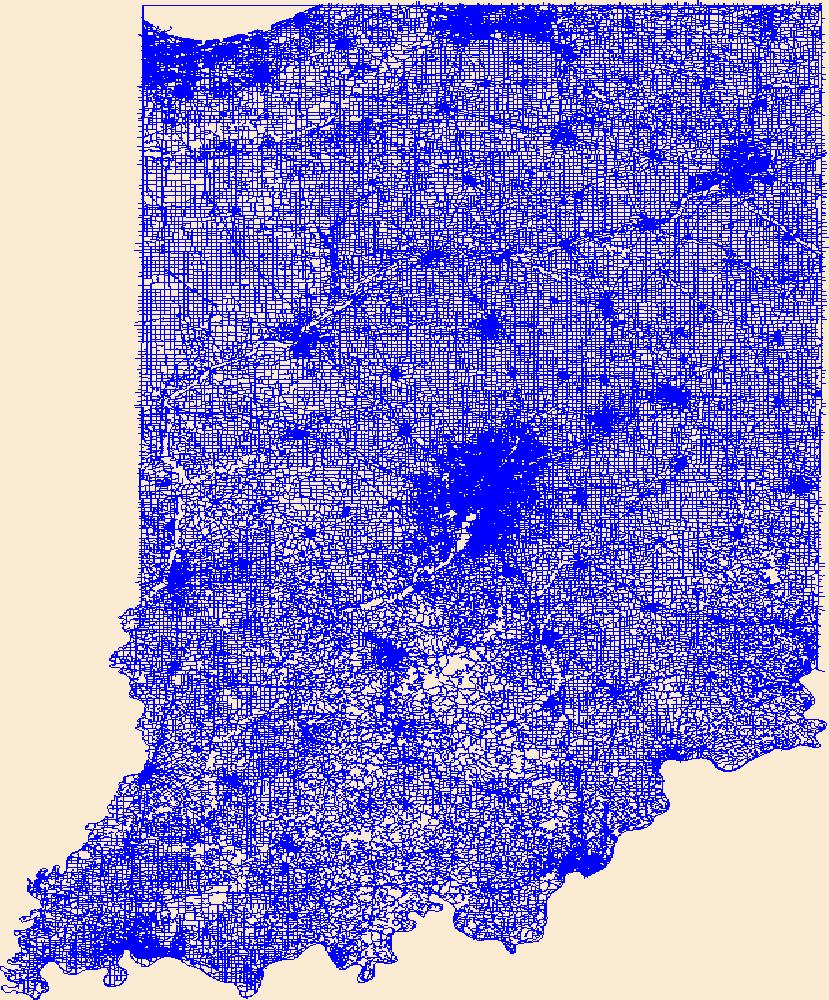
Layers of geospatial data include roads, airports, trails, and railroads.
This dataset includes the magnetotelluric (MT) sounding data collected in 2005 along an east-west profile north of Wells, Nevada. It is important to know whether major mining districts in the Northern Nevada Gold Province are underlain by rocks of the Archean Wyoming craton, which are known to contain orogenic gold deposits, or by accreted rocks of the Paleoproterozoic Mojave province. It is also important to know the location and orientation of the Archean/Proterozoic suture zone between these provinces as well as major basement structures within these terranes because they may influence subsequent patterns of sedimentation, deformation, magmatism, and hydrothermal activity. This study was funded by the U.S. Geological...
A complete set of wells associated with oil, natural gas, and coal bed natural gas development in the western states as of June 2004. This is a static dataset even though liquid energy development is a highly dynamic endeavor. Because these well location datasets are generally housed and managed by various state-based agencies (typically the state Oil and Gas Conservation Commissions) a uniform, spatially precise coverage for the western United States has not been available to date. This layer consolidates the best available well location data from ND, SD, MT, WY, CO, NM, UT, AZ, OR, and CA (ID and WA do not report any liquid energy development) and standardizes the attributes. While static as of June 2004 the well...
Categories: Data;
Types: Downloadable,
Map Service,
OGC WFS Layer,
OGC WMS Layer,
Shapefile;
Tags: Arizona,
California,
Colorado,
Montana,
Nevada,
Water-level measurements of wells were taken in the Upper Floridan aquifer between the dates of May 2 and June 23, 2010. A GIS shapefile of these water-level measurements was constructed and released as part of a prior USGS publication (Kinnaman and Dixon, 2011). This ArcGIS layer was updated in August 2014 to include salinity-based density corrections to water levels in those areas of south Florida where water in the subject aquifer is not fresh. The density corrections to water levels result in the portrayal of the “equivalent freshwater head” values in brackish and saline areas of the Upper Floridan aquifer where water quality data were available.
Categories: Data;
Types: Downloadable,
Map Service,
OGC WFS Layer,
OGC WMS Layer,
Shapefile;
Tags: Alabama,
Florida,
Floridan aquifer,
Georgia,
Ground-water,
This dataset includes the magnetotelluric (MT) sounding data collected in 2003 along a north-south profile west of Wendover, Nevada. It is important to know whether major mining districts in the Northern Nevada Gold Province are underlain by rocks of the Archean Wyoming craton, which are known to contain orogenic gold deposits, or by accreted rocks of the Paleoproterozoic Mojave province. It is also important to know the location and orientation of the Archean/Proterozoic suture zone between these provinces as well as major basement structures within these terranes because they may influence subsequent patterns of sedimentation, deformation, magmatism, and hydrothermal activity. This study was funded by the U.S....
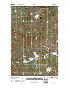
Layered GeoPDF 7.5 Minute Quadrangle Map. Layers of geospatial data include orthoimagery, roads, grids, geographic names, elevation contours, hydrography, and other selected map features.
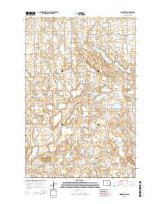
Layered GeoPDF 7.5 Minute Quadrangle Map. Layers of geospatial data include orthoimagery, roads, grids, geographic names, elevation contours, hydrography, and other selected map features.
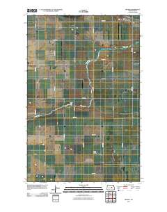
Layered GeoPDF 7.5 Minute Quadrangle Map. Layers of geospatial data include orthoimagery, roads, grids, geographic names, elevation contours, hydrography, and other selected map features.
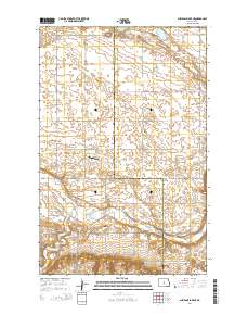
Layered GeoPDF 7.5 Minute Quadrangle Map. Layers of geospatial data include orthoimagery, roads, grids, geographic names, elevation contours, hydrography, and other selected map features.
|

|
