Filters: Date Range: {"choice":"year"} (X) > Tags: transportation (X)
58,808 results (353ms)|
Filters
Date Types (for Date Range)
Types
Contacts
Categories Tag Types
|
The Alaska Center for Conservation Science at the University of Alaska Anchorage, in partnership with the Northwest Boreal LCC and the US Fish and Wildlife Service, embarked on a project to map and quantify the human footprint and fisheries resources across the Yukon River watershed. The maps presented here show the footprint of human activities (ie., mining, transportation), as well as fisheries resources across this watershed.
The Alaska Center for Conservation Science at the University of Alaska Anchorage, in partnership with the Northwest Boreal Landscape Conservation Cooperative and US Fish and Wildlife Service, embarked on a project to map the human footprint and fisheries resources across the Yukon River watershed. The spatial data presented here show the footprint of human activities (i.e, mining and transportation), as well as fisheries resources across this watershed.
Categories: Data;
Tags: Academics & scientific researchers,
Conservation NGOs,
Data,
Federal resource managers,
INFRASTRUCTURE,
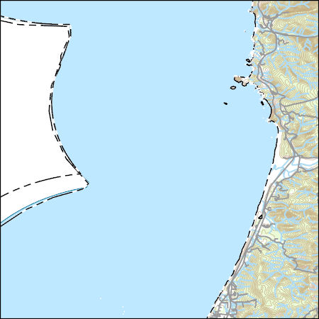
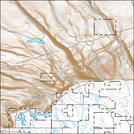
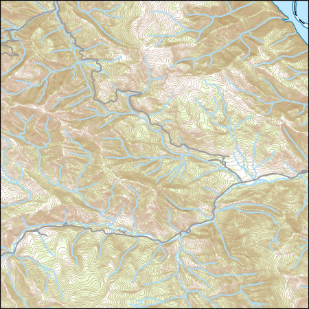
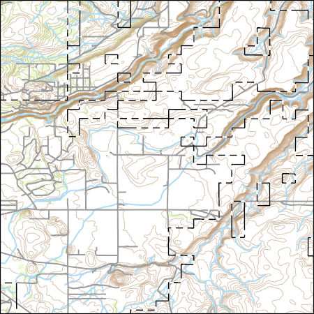
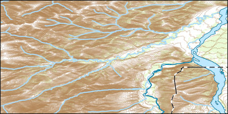
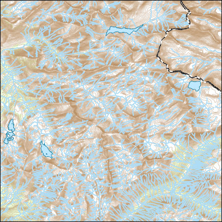
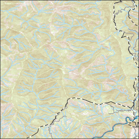
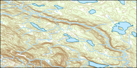
Layers of geospatial data include contours, boundaries, land cover, hydrography, roads, transportation, geographic names, structures, and other selected map features.
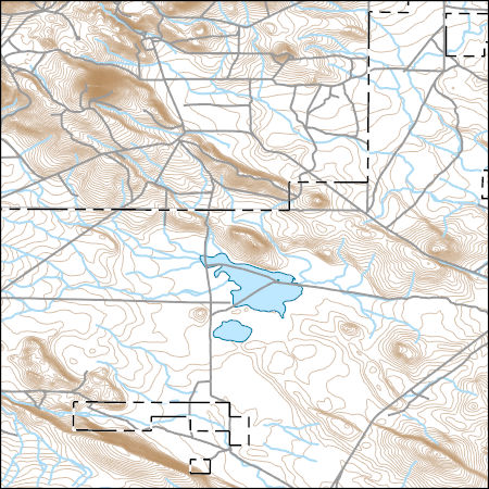
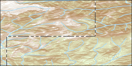
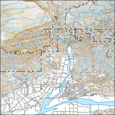
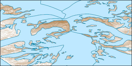
Layers of geospatial data include contours, boundaries, land cover, hydrography, roads, transportation, geographic names, structures, and other selected map features.
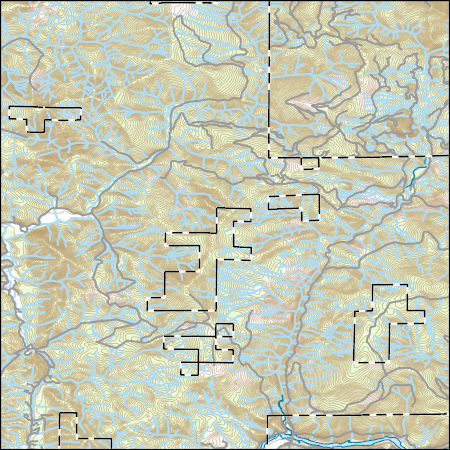
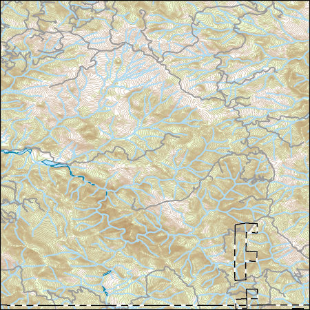
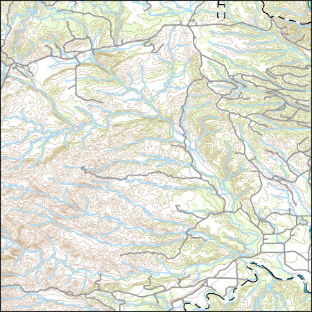
Layers of geospatial data include contours, boundaries, land cover, hydrography, roads, transportation, geographic names, structures, and other selected map features.
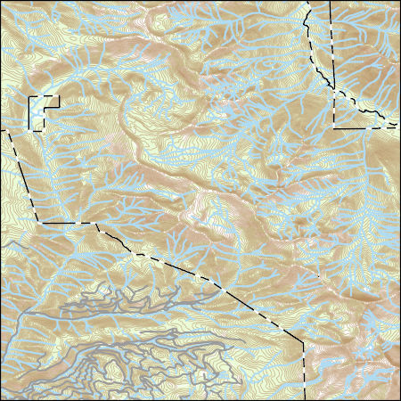
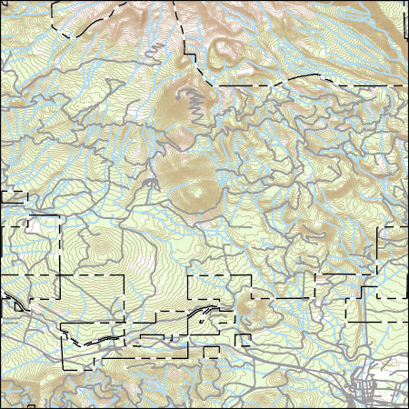
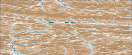
Layers of geospatial data include contours, boundaries, land cover, hydrography, roads, transportation, geographic names, structures, and other selected map features.
Layers of geospatial data include contours, boundaries, land cover, hydrography, roads, transportation, geographic names, structures, and other selected map features.
Layers of geospatial data include contours, boundaries, land cover, hydrography, roads, transportation, geographic names, structures, and other selected map features.
Layers of geospatial data include contours, boundaries, land cover, hydrography, roads, transportation, geographic names, structures, and other selected map features.
Layers of geospatial data include contours, boundaries, land cover, hydrography, roads, transportation, geographic names, structures, and other selected map features.
Layers of geospatial data include contours, boundaries, land cover, hydrography, roads, transportation, geographic names, structures, and other selected map features.
Layers of geospatial data include contours, boundaries, land cover, hydrography, roads, transportation, geographic names, structures, and other selected map features.
Layers of geospatial data include contours, boundaries, land cover, hydrography, roads, transportation, geographic names, structures, and other selected map features.
Layers of geospatial data include contours, boundaries, land cover, hydrography, roads, transportation, geographic names, structures, and other selected map features.
Layers of geospatial data include contours, boundaries, land cover, hydrography, roads, transportation, geographic names, structures, and other selected map features.
Layers of geospatial data include contours, boundaries, land cover, hydrography, roads, transportation, geographic names, structures, and other selected map features.
Layers of geospatial data include contours, boundaries, land cover, hydrography, roads, transportation, geographic names, structures, and other selected map features.
Layers of geospatial data include contours, boundaries, land cover, hydrography, roads, transportation, geographic names, structures, and other selected map features.
Layers of geospatial data include contours, boundaries, land cover, hydrography, roads, transportation, geographic names, structures, and other selected map features.
Layers of geospatial data include contours, boundaries, land cover, hydrography, roads, transportation, geographic names, structures, and other selected map features.
|

|
