Filters: Tags: {"scheme":"American Society of Photogrammetry and Remote Sensing"} (X) > Date Range: {"choice":"year"} (X)
1 result (23ms)|
Filters
Date Types (for Date Range)
Tag Types Tags (with Scheme=American Society of Photogrammetry and Remote Sensing) |
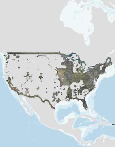
USGS high resolution orthorectified images from The National Map combine the image characteristics of an aerial photograph with the geometric qualities of a map. An orthoimage is a uniform-scale image where corrections have been made for feature displacement such as building tilt and for scale variations caused by terrain relief, sensor geometry, and camera tilt. A mathematical equation based on ground control points, sensor calibration information, and a digital elevation model is applied to each pixel to rectify the image to obtain the geometric qualities of a map. A digital orthoimage may be created from several photographs mosaicked to form the final image. The source imagery may be black-and-white, natural...
|