Filters: Tags: {"scheme":"ISO 19115 Topic Category"} (X) > partyWithName: USGS - National Geospatial Technical Operations Center (NGTOC) (X) > Types: Map Service (X)
2 results (13ms)|
Filters
Date Range
Extensions Types Contacts
Categories Tag Types Tags (with Scheme=ISO 19115 Topic Category) |

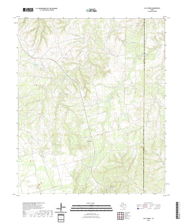
Layered geospatial PDF 7.5 Minute Quadrangle Map. Layers of geospatial data include orthoimagery, roads, grids, geographic names, elevation contours, hydrography, boundaries, and other selected map features. This map depicts geographic features on the surface of the earth. One intended purpose is to support emergency response at all levels of government. The geospatial data in this map are from selected National Map data holdings and other government sources.
Categories: Collection;
Types: Map Service,
OGC WFS Layer,
OGC WMS Layer,
OGC WMS Service;
Tags: Public Land Survey System,
U.S. National Grid,
US,
USGS:6d94af68-1f05-4f9e-9b5a-63f7a05d258b,
United States,
The USGS Elevation Contours service from The National Map (TNM) consists of contours generated for the conterminous United States from 1- and 1/3 arc-second elevation data. Small scale contours derived from 1 arc-second data are displayed at scales ranging from 1:577K to 1:72K in The National Map viewer. Contour intervals are 100 foot between 1:577K and 1:144K, and 50 foot at 1:72K. Large scale contours derived from 1/3 arc-second data are displayed at 1:50K (and larger). Large scale contour intervals are variable across the United States depending on complexity of topography. The National Map viewer allows free downloads of public domain contour data in either Esri File Geodatabase or Shapefile formats. The 3D...
Categories: Data;
Types: ArcGIS REST Map Service,
Citation,
Map Service;
Tags: Elevation,
Elevation,
NGP-TNM,
Overlay Map Service,
REST,
|

|