Filters: Tags: {"scheme":"The National Map Theme Thesaurus","name":"geographic names"} (X) > partyWithName: USGS - National Geospatial Technical Operations Center (NGTOC) (X)
4 results (28ms)|
Filters
Date Range
Types Contacts Tag Types Tags (with Scheme=The National Map Theme Thesaurus) |

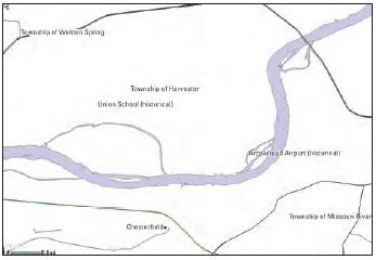
USGS developed The National Map (TNM) Gazetteer as the Federal and national standard (ANSI INCITS 446-2008) for geographic nomenclature based on the Geographic Names Information System (GNIS). The National Map Gazetteer contains information about physical and cultural geographic features, geographic areas, and locational entities that are generally recognizable and locatable by name (have achieved some landmark status) and are of interest to any level of government or to the public for any purpose that would lead to the representation of the feature in printed or electronic maps and/or geographic information systems. The dataset includes features of all types in the United States, its associated areas, and Antarctica,...
U.S. Geological Survey, Department of the Interior - The annual Geographic Names acquisition plan is to collect geographic name data over the United States and its territories through the Board on Geographic Names processes. The U.S. Board on Geographic Names is a Federal body created in 1890 and established in its present form by Public Law in 1947 to maintain uniform geographic name usage throughout the Federal Government. The Board comprises representatives of Federal agencies concerned with geographic information, population, ecology, and management of public lands. Sharing its responsibilities with the Secretary of the Interior, the Board promulgates official geographic feature names with locative attributes...
Types: Citation;
Tags: BGN,
Board on Geographic Names,
Cultural Resources Theme,
GNIS,
Geographic Names,

USGS Imagery Topo is a topographic tile cache base map with orthoimagery as a backdrop, and combines the most current data (Boundaries, Names, Transportation, Elevation, Hydrography, and other themes) that make up The National Map. Contours generated for the US Topo product are included and are visible along with other data to the 1:18,000 zoom scale. This product is designed to provide a seamless view of the data, closely resembling The National Map's US Topo (GeoPDF) product at large scales, in a GIS accessible format. Orthoimagery data are typically high resolution aerial images that combine the visual attributes of an aerial photograph with the spatial accuracy and reliability of a map. Digital orthoimage resolution...

USGS Hydro-NHD is a tile cache base map that combines hydrography data in The National Map from the National Hydrography Dataset (NHD) along with the Watershed Boundary Dataset (WBD). The NHD is a comprehensive set of digital spatial data that encodes information about naturally occurring and constructed bodies of surface water (lakes, ponds, and reservoirs), paths through which water flows (canals, ditches, streams, and rivers), and related entities such as point features (springs, wells, stream gages, and dams). The information encoded about these features includes classification and other characteristics, delineation, geographic name, position and related measures, a "reach code" through which other information...
|

|
