Filters: Tags: {"scheme":"The National Map Theme Thesaurus","name":"structures"} (X) > partyWithName: USGS - National Geospatial Technical Operations Center (NGTOC) (X)
2 results (14ms)|
Filters
Date Range
Types Contacts Tag Types Tags (with Scheme=The National Map Theme Thesaurus) |
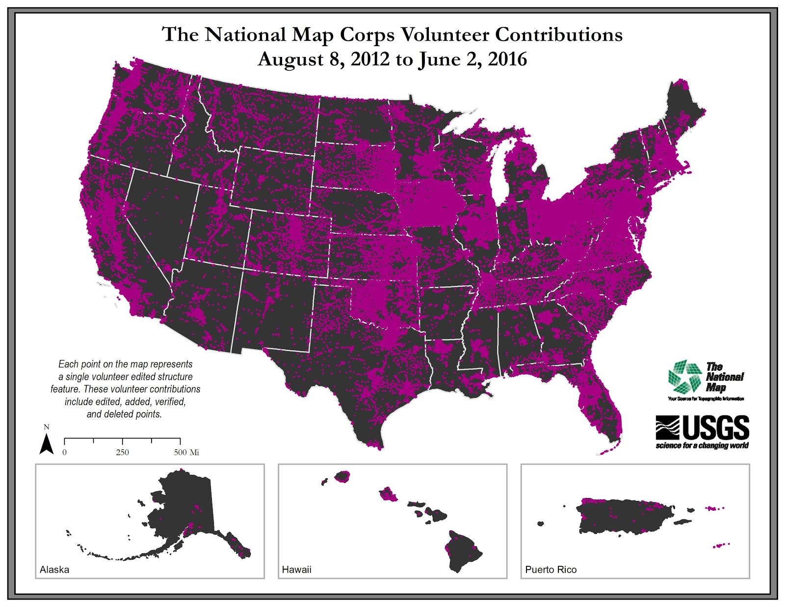
U.S. Geological Survey, Department of the Interior - The annual National Map Corps Volunteered Geographic Information (VGI) structures acquisition plan is to add new structures data and remove or edit obsolete structures data points over the United States. The FY17 acquisition plan allows data contributions by volunteers for all 50 states. Interested parties who wish to become a volunteer data acquisition partner with the USGS in FY17 or in future years should contact a USGS Geospatial Liaison - http://liaisons.usgs.gov/geospatial/documents/TNM_Partnership_User_ContactList.pdf. To find out more about the National Map Corps VGI structures program go to https://my.usgs.gov/confluence/display/nationalmapcorps/Home.
Types: Citation;
Tags: EMS station,
NGDA,
National Geospatial Data Asset,
Real Property Theme,
Structures,

USGS Imagery Topo is a topographic tile cache base map with orthoimagery as a backdrop, and combines the most current data (Boundaries, Names, Transportation, Elevation, Hydrography, and other themes) that make up The National Map. Contours generated for the US Topo product are included and are visible along with other data to the 1:18,000 zoom scale. This product is designed to provide a seamless view of the data, closely resembling The National Map's US Topo (GeoPDF) product at large scales, in a GIS accessible format. Orthoimagery data are typically high resolution aerial images that combine the visual attributes of an aerial photograph with the spatial accuracy and reliability of a map. Digital orthoimage resolution...
|

|
