Filters: Tags: Agricultural land (X)
118 results (126ms)|
Filters
Date Range
Extensions (Less) Types (Less) Contacts (Less)
Categories (Less) Tag Types
|

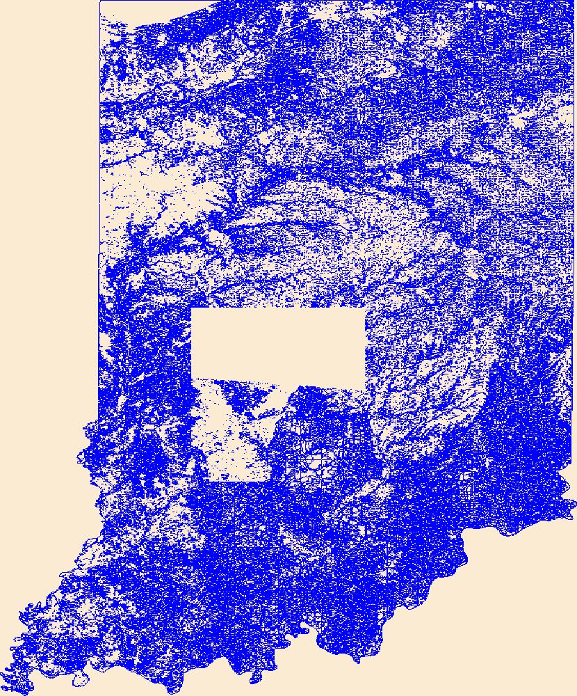
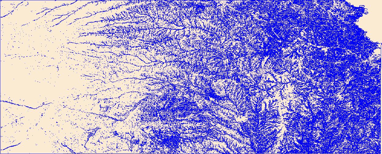
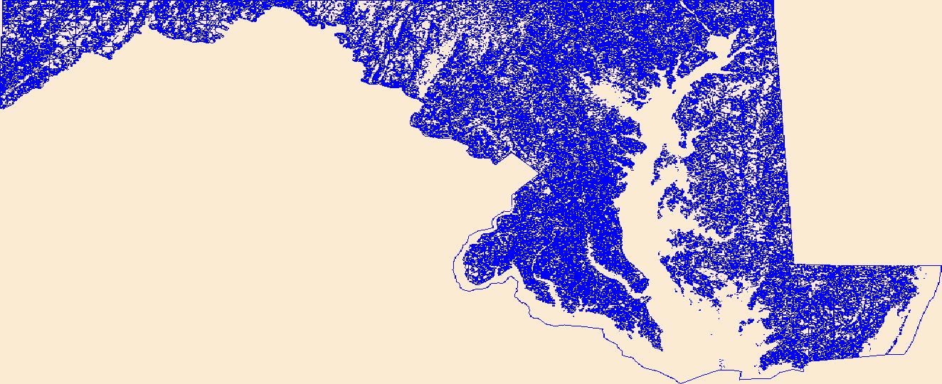
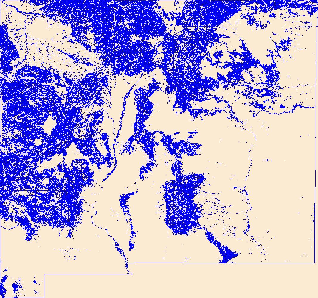
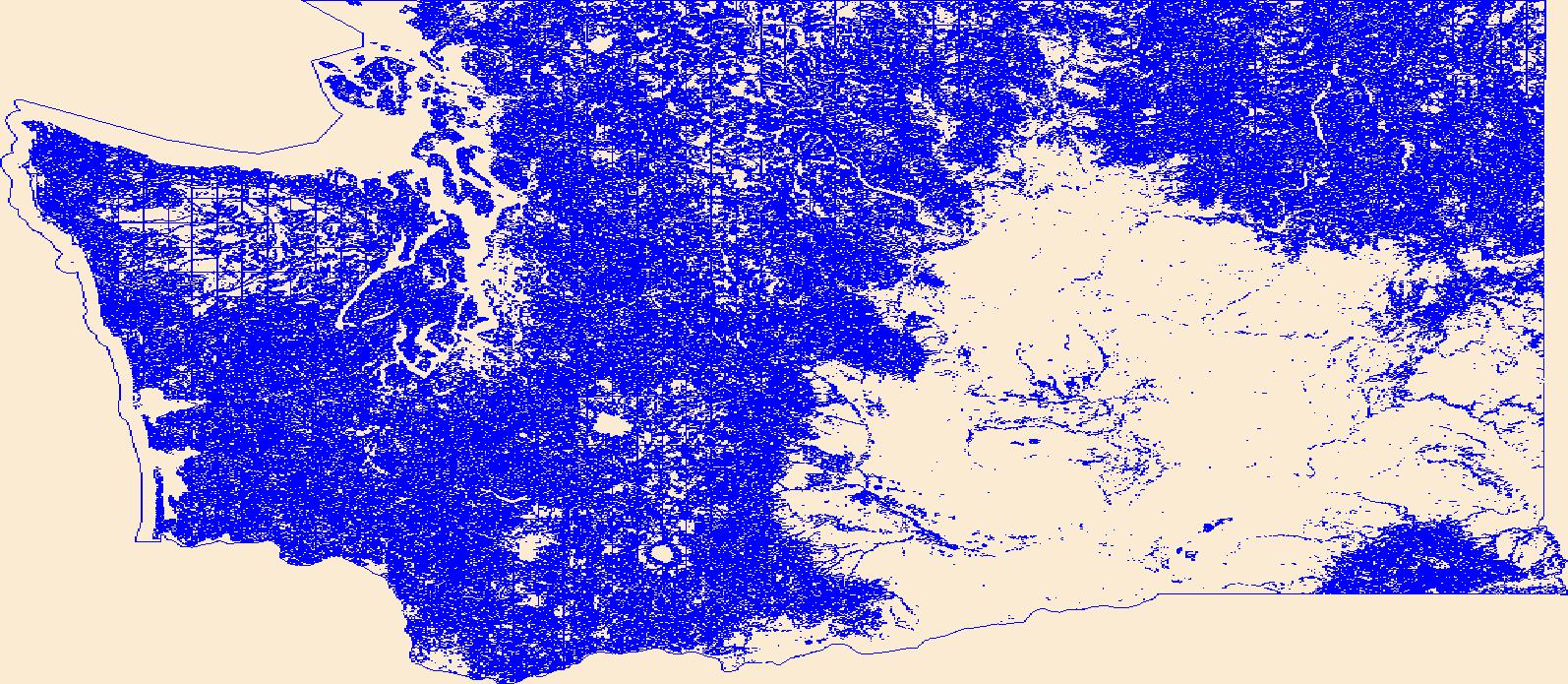
Geospatial data that is a derivative land cover product depicting woodland on topographic maps.

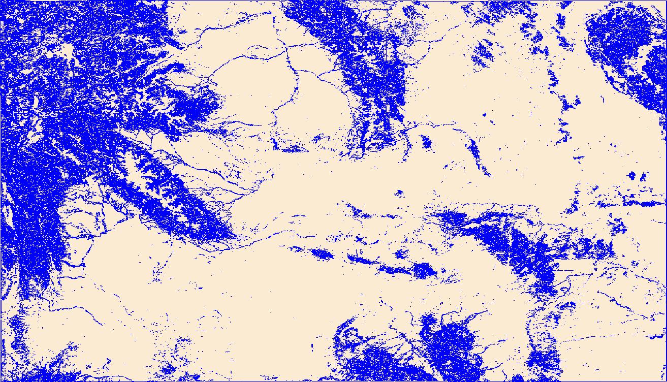
Geospatial data that is a derivative land cover product depicting woodland on topographic maps.

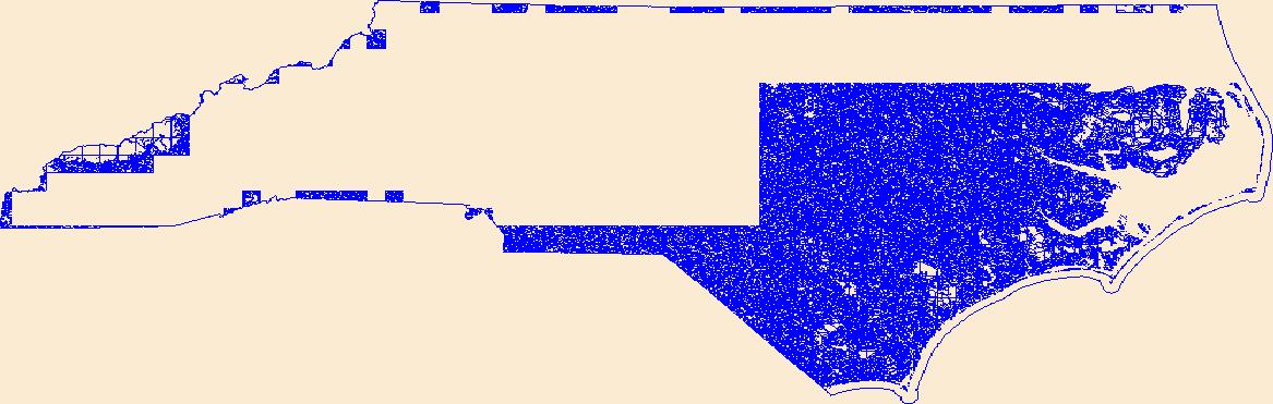
Geospatial data that is a derivative land cover product depicting woodland on topographic maps.

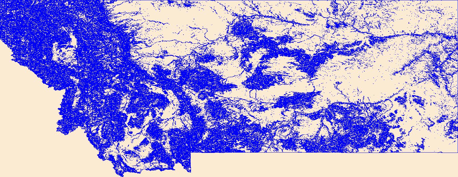
Geospatial data that is a derivative land cover product depicting woodland on topographic maps.

Geospatial data that is a derivative land cover product depicting woodland on topographic maps.

Geospatial data that is a derivative land cover product depicting woodland on topographic maps.

Geospatial data that is a derivative land cover product depicting woodland on topographic maps.

Geospatial data that is a derivative land cover product depicting woodland on topographic maps.

Geospatial data that is a derivative land cover product depicting woodland on topographic maps.

Geospatial data that is a derivative land cover product depicting woodland on topographic maps.

Geospatial data that is a derivative land cover product depicting woodland on topographic maps.
The purpose of the Conservation Effects Assessment Project (CEAP) cropland national assessment is to quantify the environmental benefits of conservation programs at the regional and national levels, which include both onsite and instream water quality benefits. Modeling is an effective tool for environmental assessment at the regional and national scale due to the complexities in nature at this scale. Two simulation models, the Agricultural Policy Environmental extender (APEX) and the Soil and Water Assessment Tool (SWAT), were used for the CEAP cropland national assessment. A subset of National Resources Inventory (NRI) sample points was selected to serve as "representative fields" for the CEAP cropland survey...
Categories: Publication;
Types: Citation;
Tags: Agriculture,
Channels,
Conservation,
Data Visualization & Tools,
ENA 06:Food & Drugs,
Geospatial data that is a derivative land cover product depicting woodland on topographic maps.
Geospatial data that is a derivative land cover product depicting woodland on topographic maps.
Geospatial data that is a derivative land cover product depicting woodland on topographic maps.
Geospatial data that is a derivative land cover product depicting woodland on topographic maps.
Geospatial data that is a derivative land cover product depicting woodland on topographic maps.
Geospatial data that is a derivative land cover product depicting woodland on topographic maps.
Geospatial data that is a derivative land cover product depicting woodland on topographic maps.
Geospatial data that is a derivative land cover product depicting woodland on topographic maps.
|

|
