Filters: Tags: Agricultural land (X)
118 results (72ms)|
Filters
Date Range
Extensions Types Contacts
Categories Tag Types
|
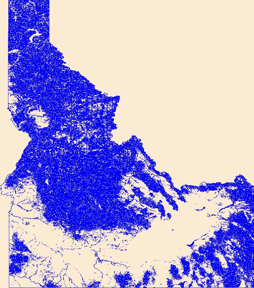
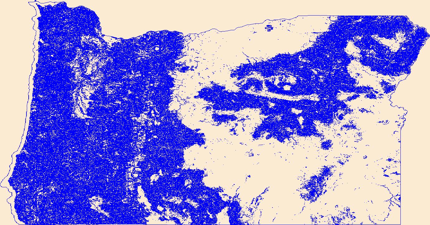
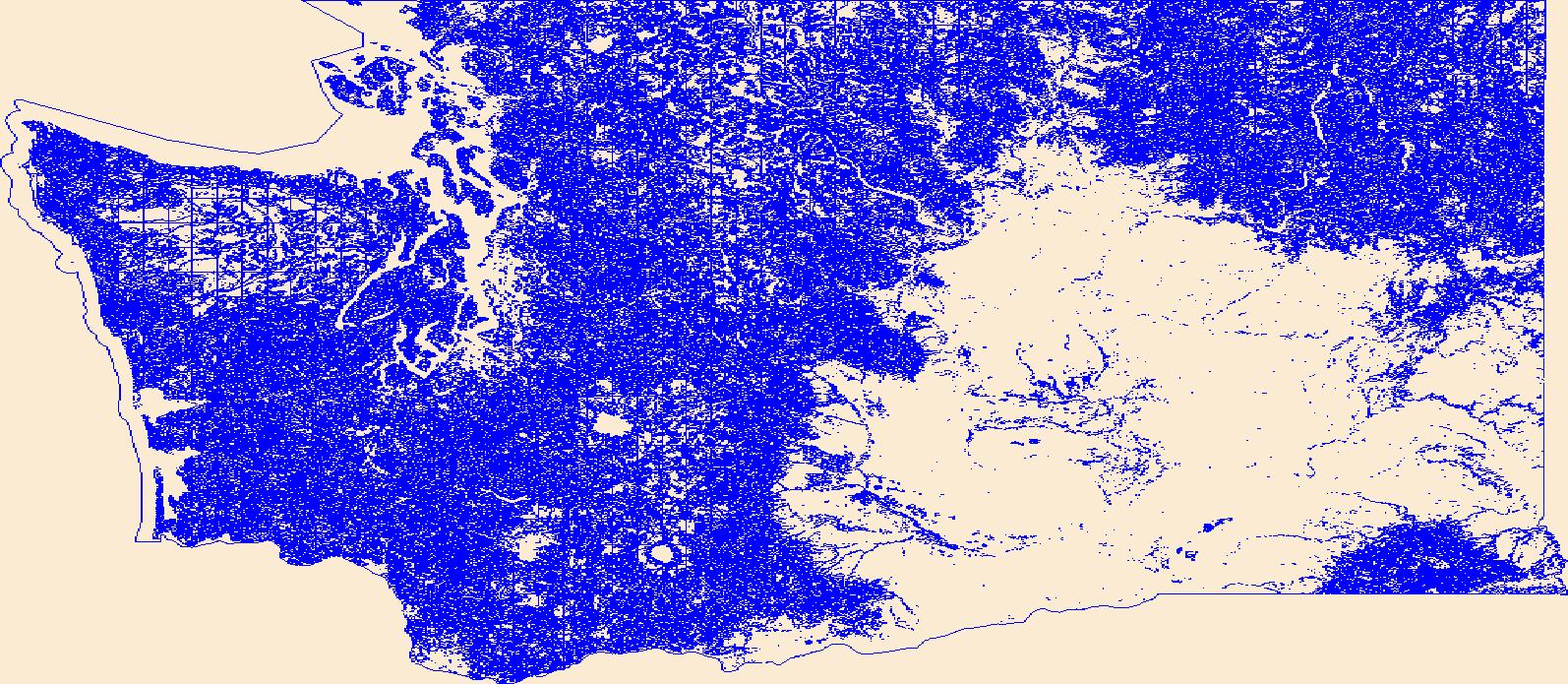
Geospatial data that is a derivative land cover product depicting woodland on topographic maps.
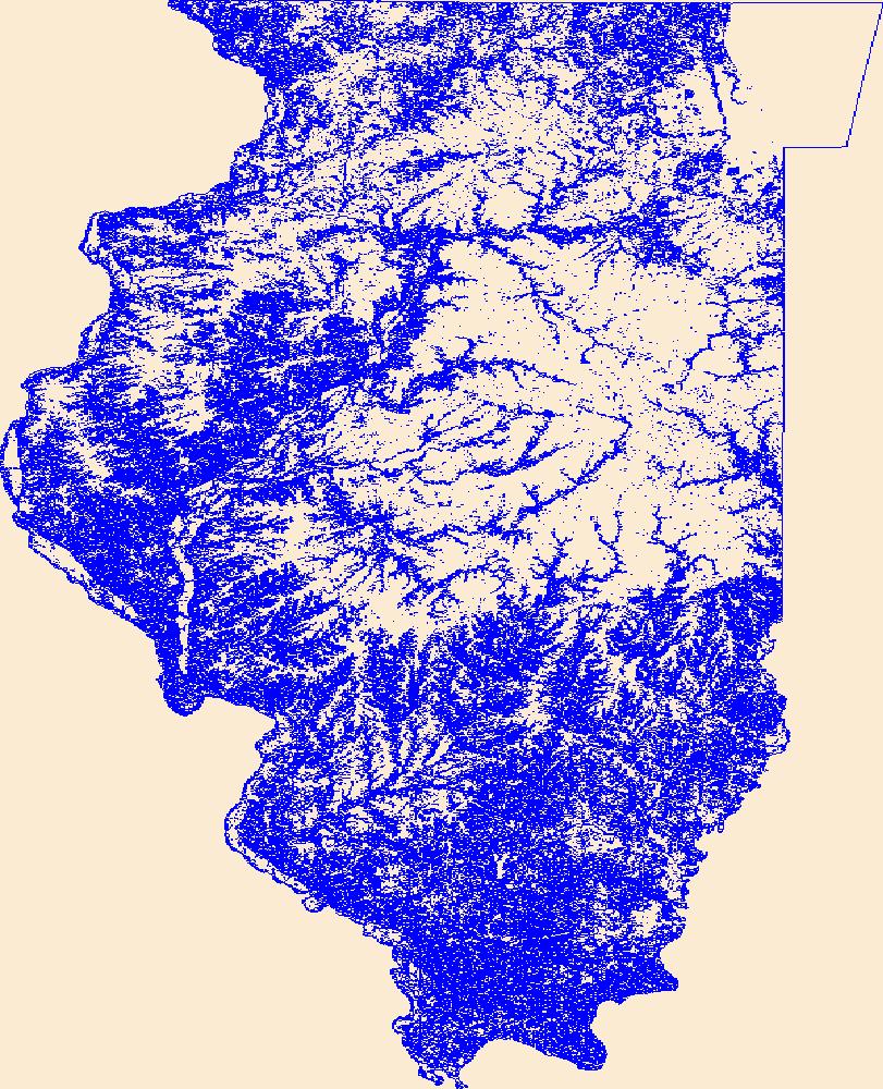
Geospatial data that is a derivative land cover product depicting woodland on topographic maps.
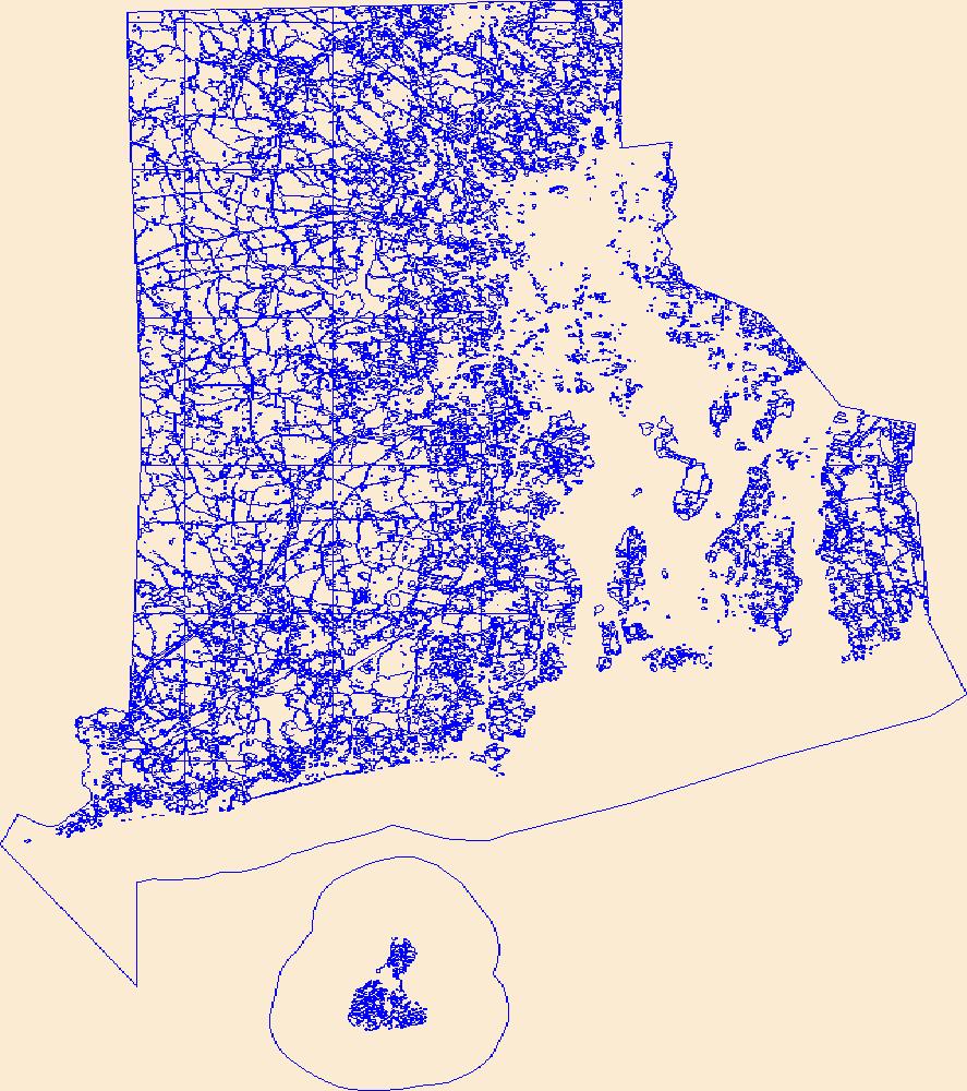
Geospatial data that is a derivative land cover product depicting woodland on topographic maps.

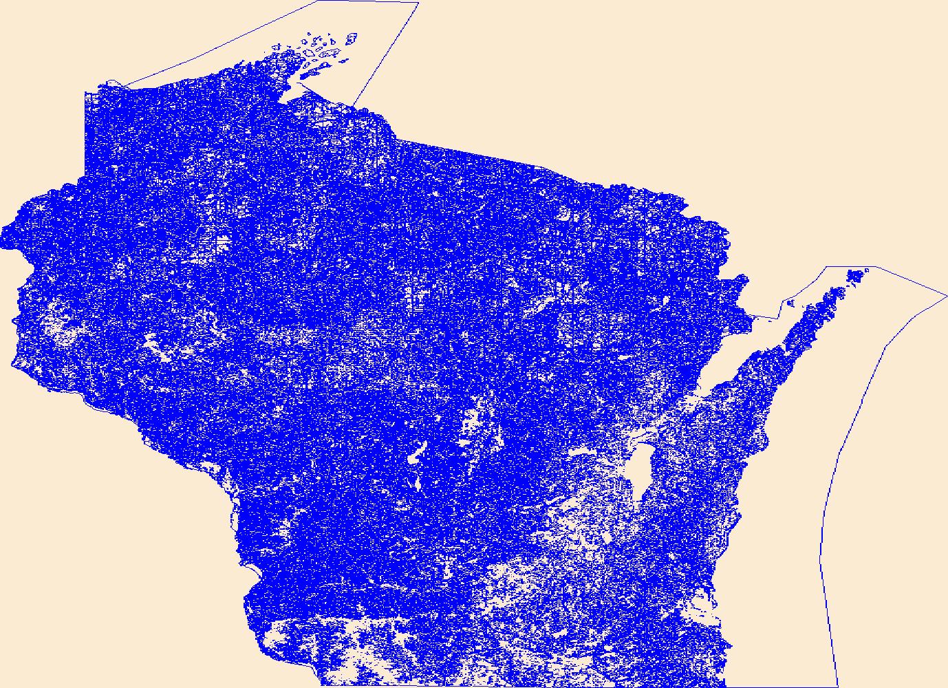
Geospatial data that is a derivative land cover product depicting woodland on topographic maps.
Geospatial data that is a derivative land cover product depicting woodland on topographic maps.

Geospatial data that is a derivative land cover product depicting woodland on topographic maps.

Geospatial data that is a derivative land cover product depicting woodland on topographic maps.
As one of the cornerstones of the U.S. Geological Survey's (USGS) National Geospatial Program, The National Map is a collaborative effort among the USGS and other Federal, State, and local partners to improve and deliver topographic information for the Nation. It has many uses ranging from recreation to scientific analysis to emergency response. The National Map is easily accessible for display on the Web, as products and services, and as downloadable data. The geographic information available from The National Map includes orthoimagery (aerial photographs), elevation, geographic names, hydrography, boundaries, transportation, structures, and land cover.
Geospatial data that is a derivative land cover product depicting woodland on topographic maps.
This tabular data set represents estimated loads of nitrogen and phosphorous from fertilizer and manure applied on agricultural land for the year 2012 compiled for two spatial components of the NHDPlus version 2 data suite (NHDPlusv2) for the conterminous United States; 1) individual reach catchments and 2) reach catchments accumulated upstream through the river network. This dataset can be linked to the NHDPlus version 2 data suite by the unique identifier COMID. The source data for estimated loads of nitrogen and phosphorous from fertilizer for 2012 was produced by Brakebill and others, (USGS, 2017) and the source data for estimated loads of nitrogen and phosphorous from manure for 2012 was produced by Gronberg...
Geospatial data that is a derivative land cover product depicting woodland on topographic maps.
Geospatial data that is a derivative land cover product depicting woodland on topographic maps.
Geospatial data that is a derivative land cover product depicting woodland on topographic maps.
Geospatial data that is a derivative land cover product depicting woodland on topographic maps.
Geospatial data that is a derivative land cover product depicting woodland on topographic maps.
Geospatial data that is a derivative land cover product depicting woodland on topographic maps.
Geospatial data that is a derivative land cover product depicting woodland on topographic maps.
Geospatial data that is a derivative land cover product depicting woodland on topographic maps.
Geospatial data that is a derivative land cover product depicting woodland on topographic maps.
This dataset is one of a collection of three land cover maps of the Willamette Valley of Oregon, USA, depicting 4 habitat classes: wet with <= 50% vegetation cover (class 1), wet with >50% vegetation (class 2), dry with <= 50% vegetation (class 3), dry with >50% vegetation (class 4). Land cover maps were derived by classifying signatures from C-band (5.6 cm wavelength), HH-polarized radar remote sensing (RADARSAT) data collected at a 38 degree incidence angle (8-m resolution). The data are in the form of an ERDAS Imagine image.
|

|
