Filters: Tags: Agricultural land (X)
119 results (42ms)|
Filters
Date Range
Extensions Types Contacts
Categories Tag Types
|
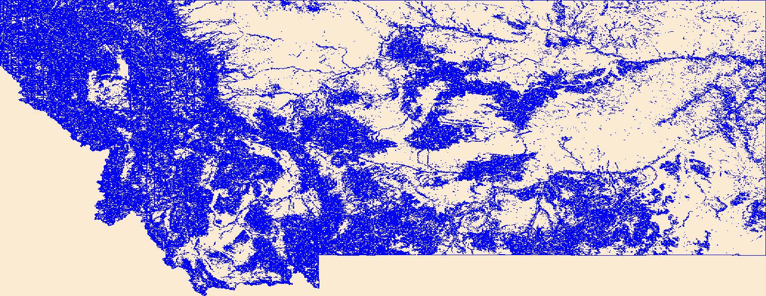
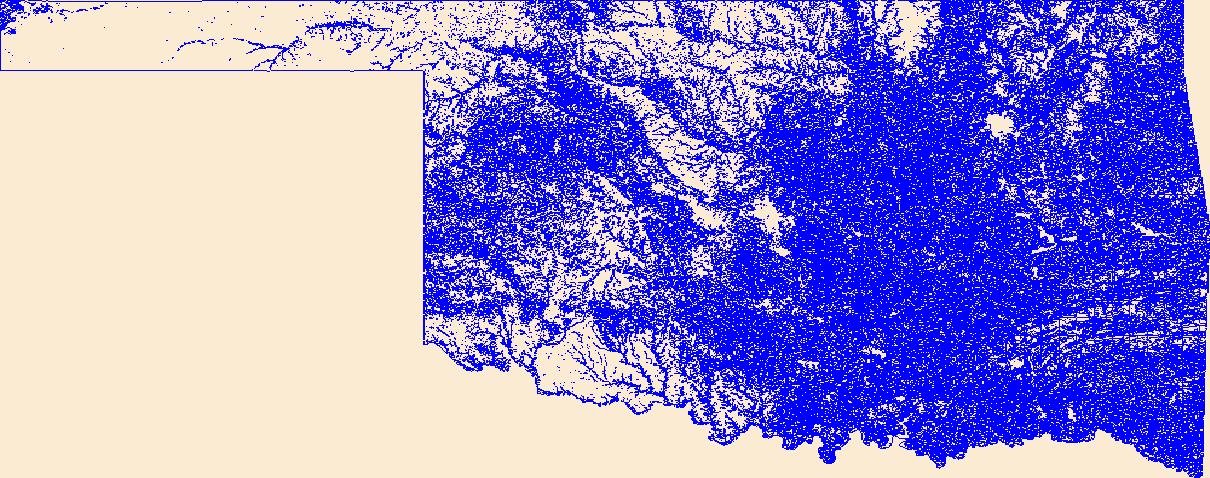
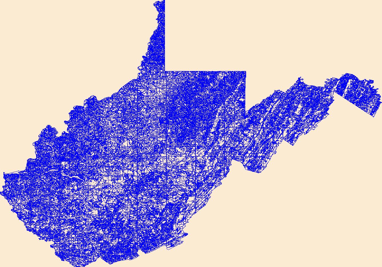
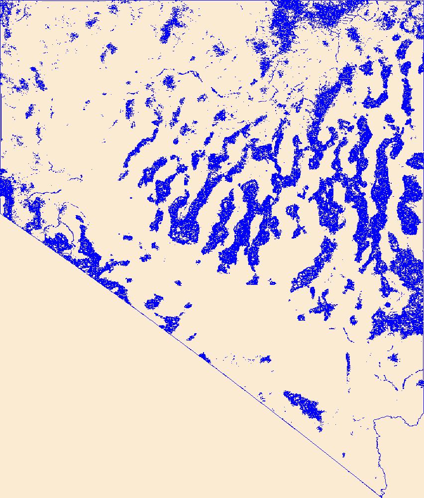
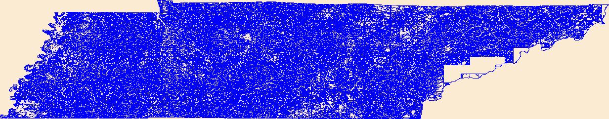
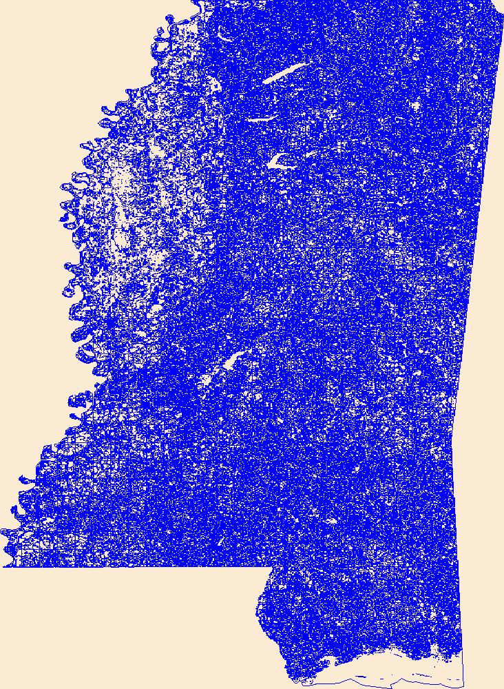
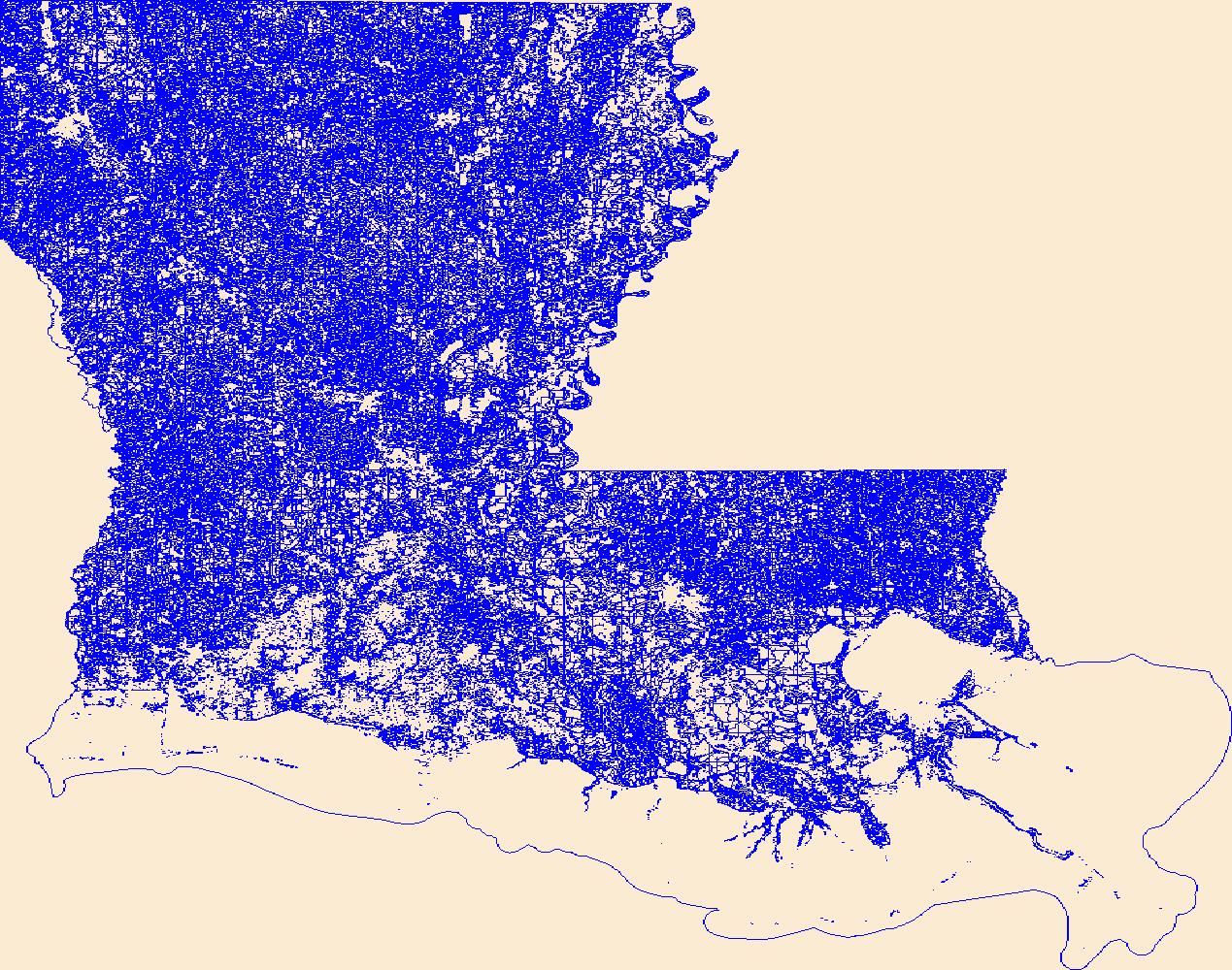
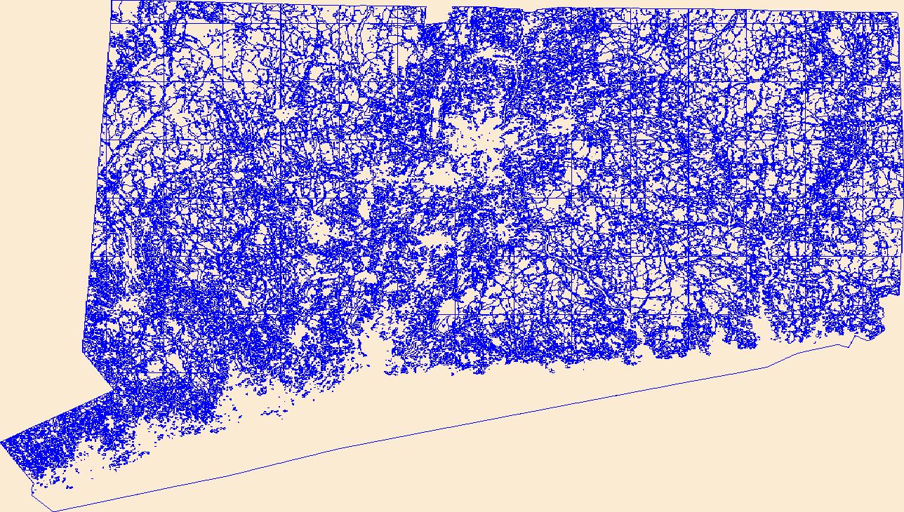
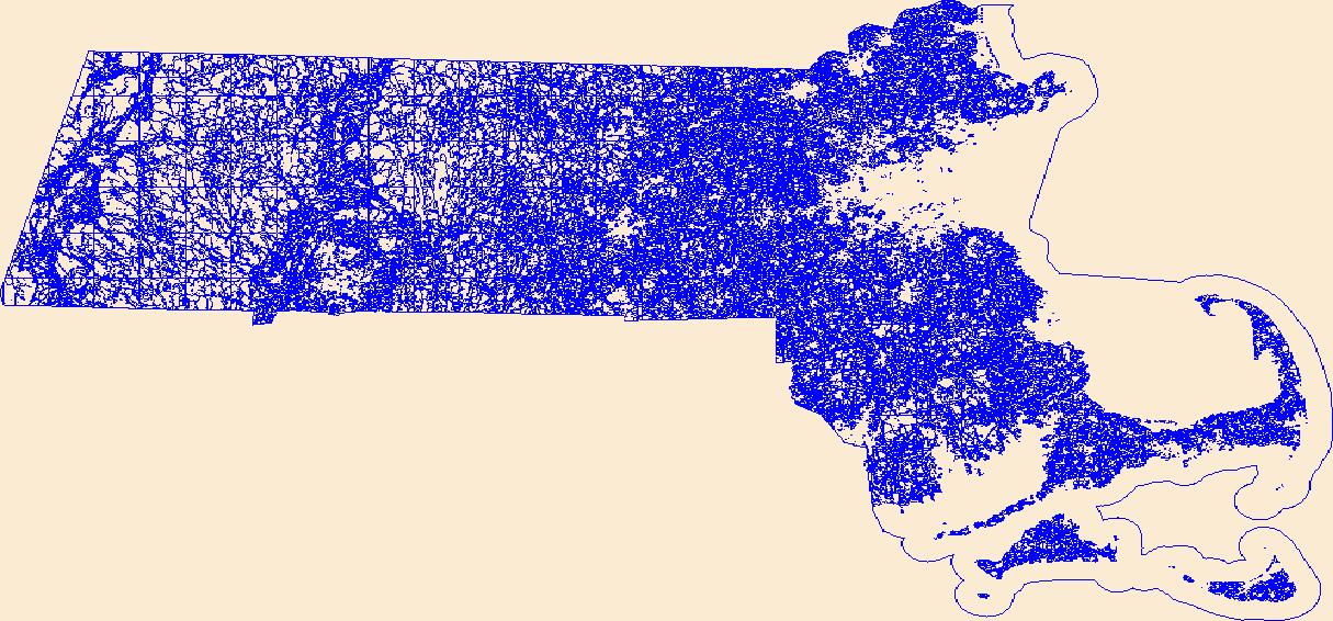
Geospatial data that is a derivative land cover product depicting woodland on topographic maps.
Geospatial data that is a derivative land cover product depicting woodland on topographic maps.
Geospatial data that is a derivative land cover product depicting woodland on topographic maps.
Geospatial data that is a derivative land cover product depicting woodland on topographic maps.

These data were released prior to the October 1, 2016 effective date for the USGS’s policy dictating the review, approval, and release of scientific data as referenced in USGS Survey Manual Chapter 502.8 Fundamental Science Practices: Review and Approval of Scientific Data for Release. This dataset is an aggregation of county-level tillage practices to the 8-digit hydrologic unit watershed. The original county-level data were collected by the Conservation Technology Information Center (CTIC) and is a proprietary dataset. The CTIC collects tillage data by conducting surveys about tillage systems for all counties in the United States. Watershed aggregations were done by overlying the 8-digit HUC polygons with a raster...
Categories: pre-SM502.8;
Tags: Conterminous U.S.,
Inlandwaters,
NSDI,
USGS Science Data Catalog (SDC),
agricultural land,
Geospatial data that is a derivative land cover product depicting woodland on topographic maps.
Geospatial data that is a derivative land cover product depicting woodland on topographic maps.

Geospatial data that is a derivative land cover product depicting woodland on topographic maps.
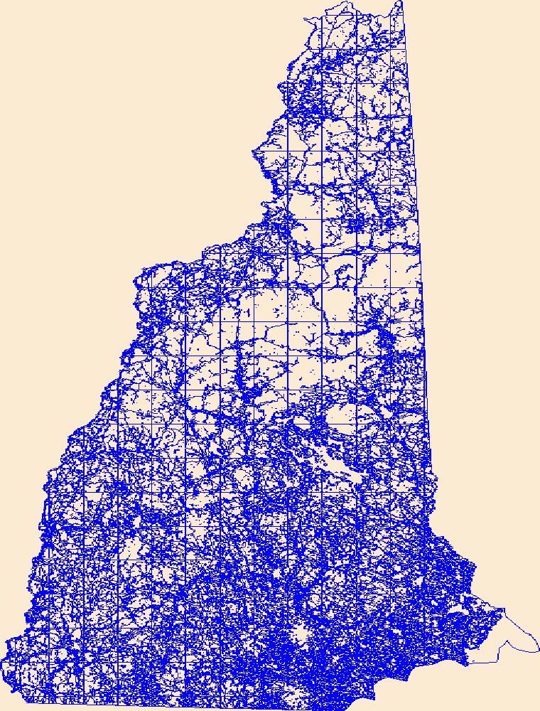
Geospatial data that is a derivative land cover product depicting woodland on topographic maps.
Geospatial data that is a derivative land cover product depicting woodland on topographic maps.
The data set consists of bird abundance data collected in undisturbed grassland fields enrolled in the Conservation Reserve Program (CRP) and former CRP fields that were converted to cropland, grazing land, or hayland in nine counties in four states (Montana, North Dakota, South Dakota, and Minnesota) in the northern Great Plains. The study was initiated in 1990, but data were only included in this dataset for the 18 years in which all three of the post-CRP management practices occurred, i.e., 1996–2003 and 2008–2017. The data were summarized and used in the analysis for a peer-reviewed publication entitled: "Conversion of CRP Grasslands to Cropland, Grazing Lands, or Hayland: Effects on Breeding Bird Abundances."...
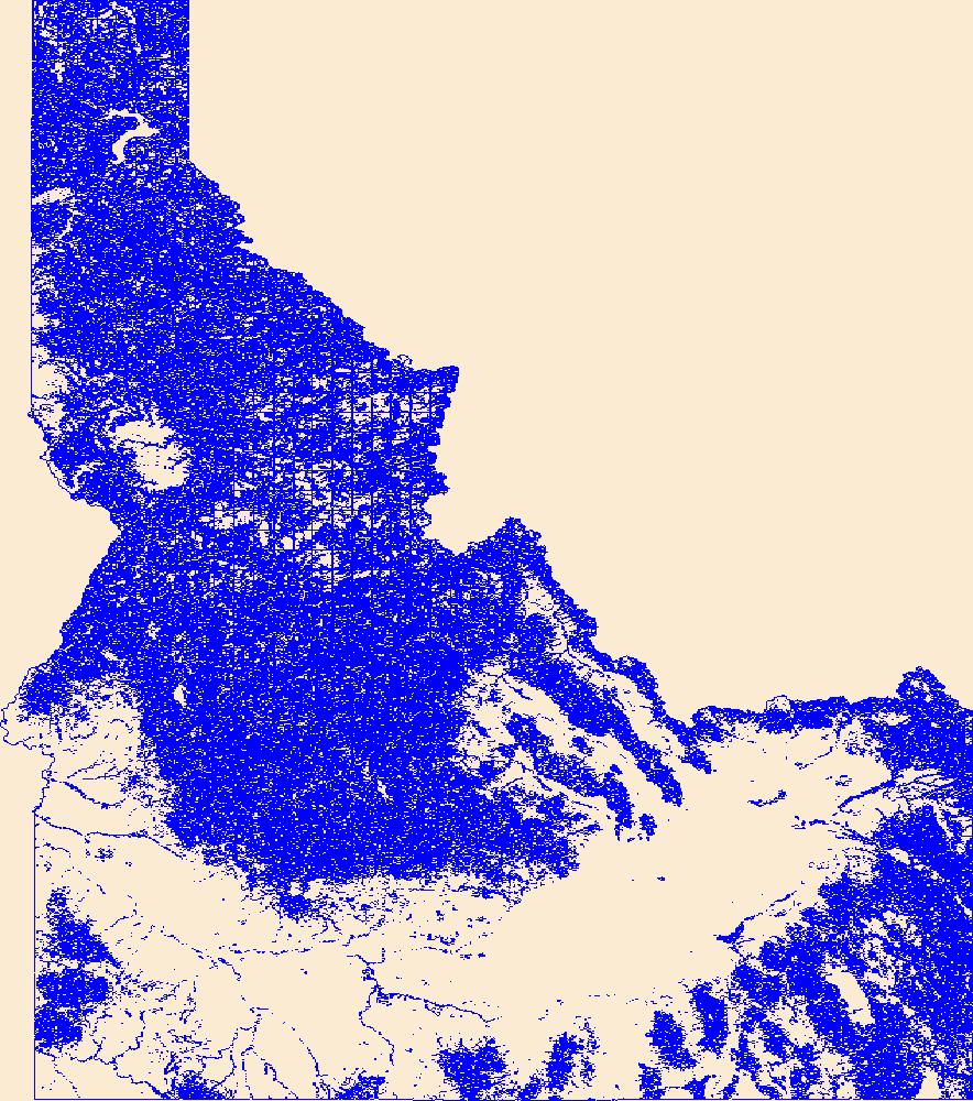
Agricultural land cover for the western United States. This dataset was developed from Sagestitch, the Eastern Washington Shrubsteppe Mapping Project, and several state level GAP products (AZ, CA, NM, OR, and WA).
Categories: Data,
pre-SM502.8;
Types: Downloadable,
GeoTIFF,
Map Service,
Raster;
Tags: Arizona,
California,
Colorado,
Idaho,
Land Use Change,
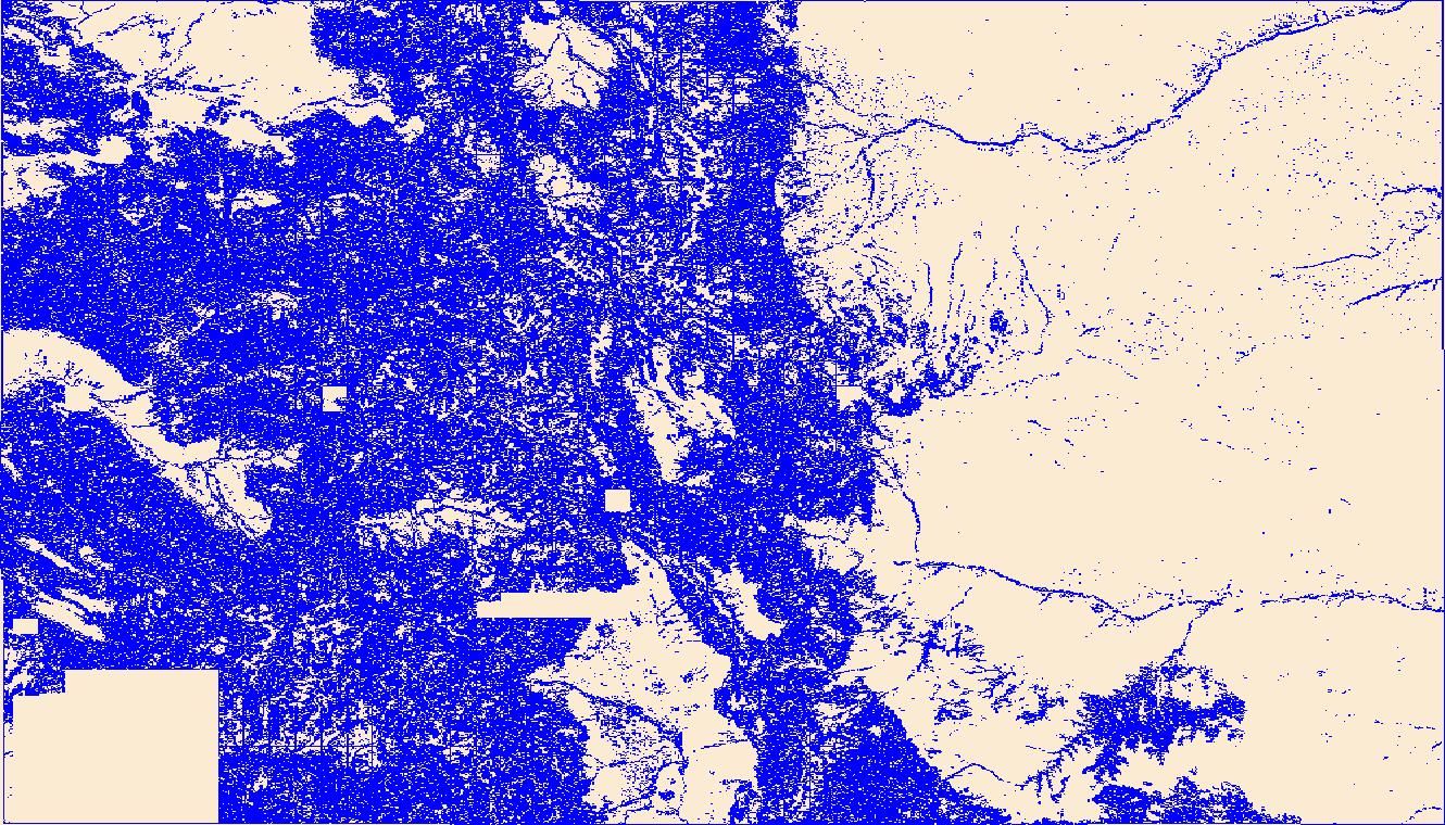
Geospatial data that is a derivative land cover product depicting woodland on topographic maps.

Geospatial data that is a derivative land cover product depicting woodland on topographic maps.

Geospatial data that is a derivative land cover product depicting woodland on topographic maps.
Geospatial data that is a derivative land cover product depicting woodland on topographic maps.
Geospatial data that is a derivative land cover product depicting woodland on topographic maps.
Geospatial data that is a derivative land cover product depicting woodland on topographic maps.
Geospatial data that is a derivative land cover product depicting woodland on topographic maps.
|

|

