|
|

A polygon dataset of current road footprints in the SNK REA derived from the Alaska Department of Natural Resources infrastructure data (see the process steps for details). (This data depicts infrastructure locations in Alaska as digitized primarily from 1:24,000, 1:63,360, and 1:250,000 USGS quadrangles. The source document that represented the newest information and best geographic location was used to capture the data. All infrastructure from the primary source document was digitized and then supplemented with the information from other source documents for additional or updated infrastructure or attributes.)
Types: Downloadable;
Tags: Alaska Marine Highway,
BLM,
Bureau of Land Management,
DOI,
Facility, All tags...
Geospatial,
REA,
Rapid Ecoregional Assessment,
SNK 2010,
Seward Peninsula,
Trans-Alaska Pipeline,
Transportation,
airfields,
airports,
electrical lines,
foot trails,
forestry development roads,
gas lines,
highways,
infrastructure,
landing airstrip,
logging roads,
marine highway,
pipeline,
power lines,
railroads,
roads,
telephone lines,
tractor trails,
trails,
transmission lines,
transportation,
utilitiesCommunication,
winter trails, Fewer tags
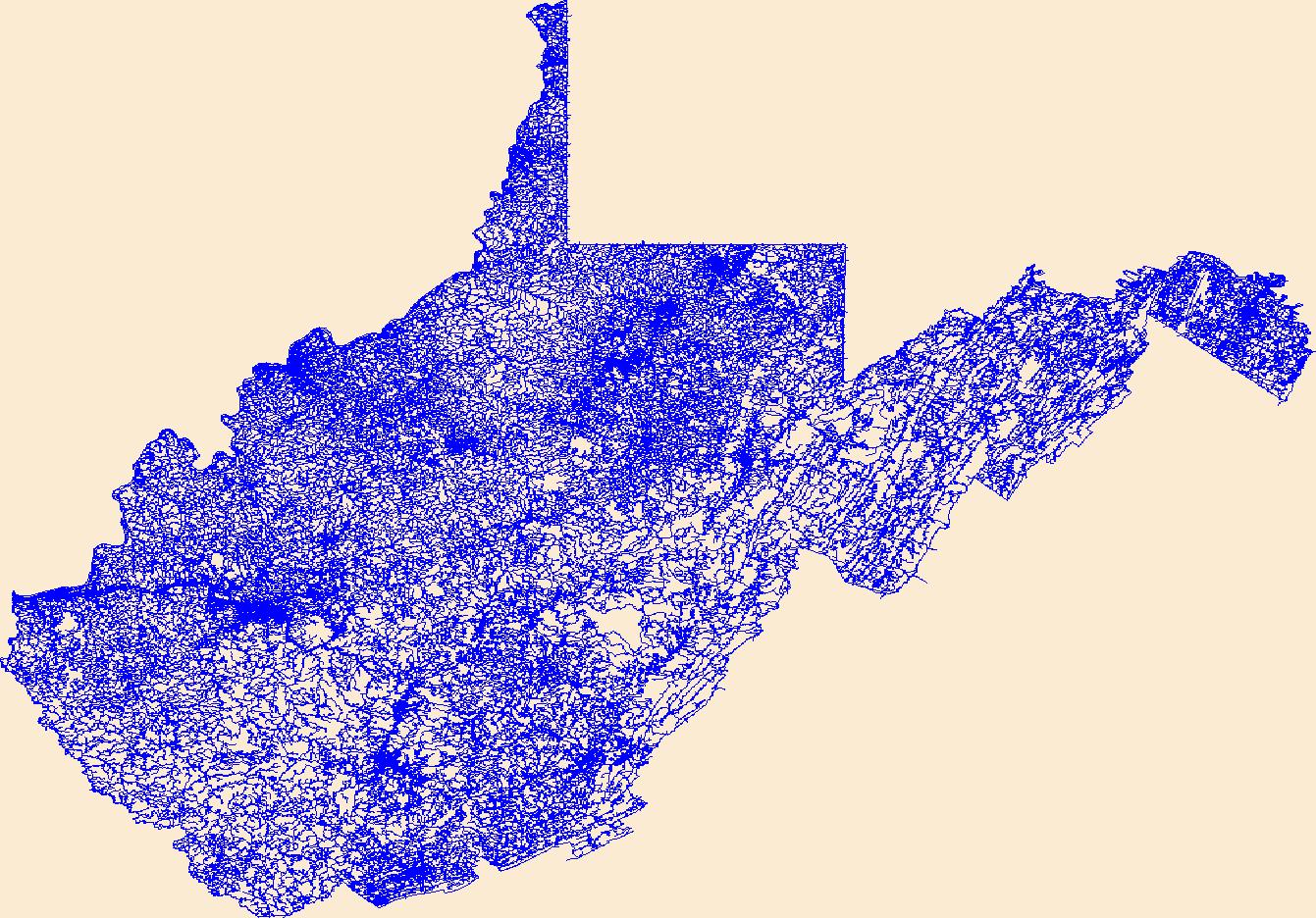
Layers of geospatial data include roads, airports, trails, and railroads.
Tags: Airport Complex,
Airport Point,
Airport Runway,
Airports,
Airstrips, All tags...
Barbour,
Berkeley,
Boone,
Braxton,
Brooke,
Cabell,
Calhoun,
Clay,
Doddridge,
Downloadable Data,
Esri File GeoDatabase 10,
Fayette,
FileGDB,
Geographic names,
Gilmer,
Grant,
Greenbrier,
Hampshire,
Hancock,
Hardy,
Harrison,
Jackson,
Jefferson,
Kanawha,
Lewis,
Lincoln,
Logan,
Marion,
Marshall,
Mason,
McDowell,
Mercer,
Mineral,
Mingo,
Monongalia,
Monroe,
Morgan,
National Transportation Dataset (NTD),
National Transportation Dataset (NTD),
Nicholas,
Ohio,
Pendleton,
Pleasants,
Pocahontas,
Preston,
Putnam,
Railways,
Raleigh,
Randolph,
Ritchie,
Roads,
Roane,
State,
State,
Summers,
Taylor,
Trail,
Trails,
Transportation,
Transportation,
Tucker,
Tyler,
US,
United States,
Upshur,
WV,
Waterway,
Wayne,
Webster,
West Virginia,
Wetzel,
Wirt,
Wood,
Wyoming,
transportation, Fewer tags
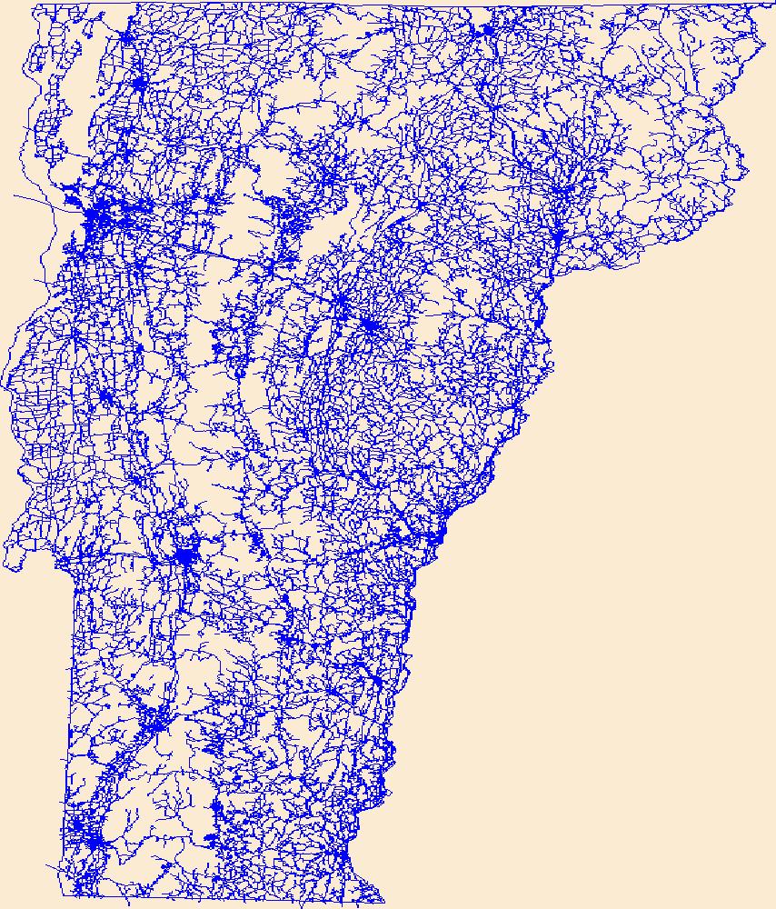
Layers of geospatial data include roads, airports, trails, and railroads.
Tags: Addison,
Airport Complex,
Airport Point,
Airport Runway,
Airports, All tags...
Airstrips,
Bennington,
Caledonia,
Chittenden,
Downloadable Data,
Esri File GeoDatabase 10,
Essex,
FileGDB,
Franklin,
Geographic names,
Grand Isle,
Lamoille,
National Transportation Dataset (NTD),
National Transportation Dataset (NTD),
Orange,
Orleans,
Railways,
Roads,
Rutland,
State,
State,
Trail,
Trails,
Transportation,
Transportation,
US,
United States,
VT,
Vermont,
Washington,
Waterway,
Windham,
Windsor,
transportation, Fewer tags
Layers of geospatial data include roads, airports, trails, and railroads.
Tags: Airport Complex,
Airport Point,
Airport Runway,
Airports,
Airstrips, All tags...
Bernalillo,
Catron,
Chaves,
Cibola,
Colfax,
Curry,
De Baca,
Downloadable Data,
Doña Ana,
Eddy,
Esri File GeoDatabase 10,
FileGDB,
Geographic names,
Grant,
Guadalupe,
Harding,
Hidalgo,
Lea,
Lincoln,
Los Alamos,
Luna,
McKinley,
Mora,
NM,
National Transportation Dataset (NTD),
National Transportation Dataset (NTD),
New Mexico,
Otero,
Quay,
Railways,
Rio Arriba,
Roads,
Roosevelt,
San Juan,
San Miguel,
Sandoval,
Santa Fe,
Sierra,
Socorro,
State,
State,
Taos,
Torrance,
Trail,
Trails,
Transportation,
Transportation,
US,
Union,
United States,
Valencia,
Waterway,
transportation, Fewer tags
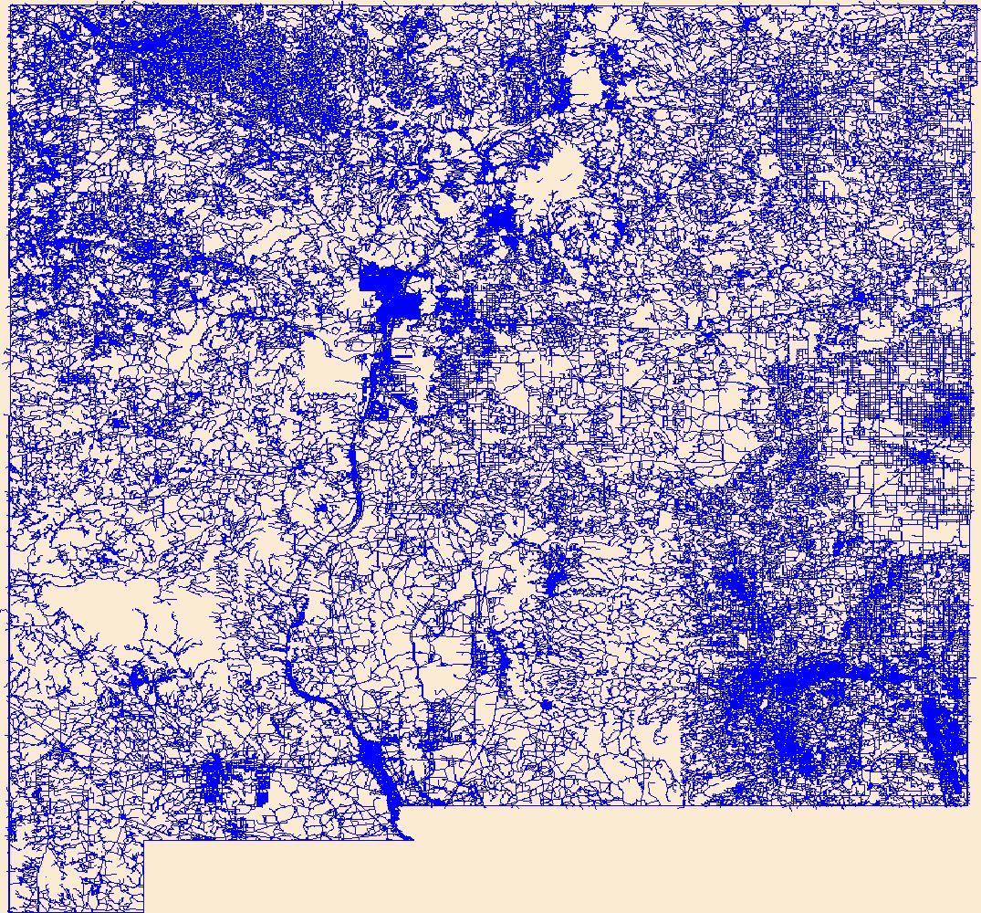
Layers of geospatial data include roads, airports, trails, and railroads.
Tags: Airport Complex,
Airport Point,
Airport Runway,
Airports,
Airstrips, All tags...
CT,
Capitol,
Connecticut,
Downloadable Data,
Esri Shapefile nan,
Geographic names,
Greater Bridgeport,
Lower Connecticut River Valley,
National Transportation Dataset (NTD),
National Transportation Dataset (NTD),
Naugatuck Valley,
Northeastern Connecticut,
Northwest Hills,
Railways,
Roads,
Shapefile,
South Central Connecticut,
Southeastern Connecticut,
State,
State,
Trail,
Trails,
Transportation,
Transportation,
US,
United States,
Waterway,
Western Connecticut,
transportation, Fewer tags

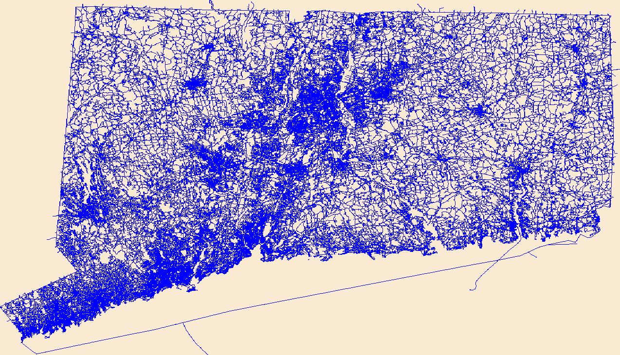
Layers of geospatial data include roads, airports, trails, and railroads.
Tags: Accomack,
Airport Complex,
Airport Point,
Airport Runway,
Airports, All tags...
Airstrips,
Albemarle,
Alexandria,
Alleghany,
Amelia,
Amherst,
Appomattox,
Arlington,
Augusta,
Bath,
Bedford,
Bland,
Botetourt,
Bristol,
Brunswick,
Buchanan,
Buckingham,
Buena Vista,
Campbell,
Caroline,
Carroll,
Charles City,
Charlotte,
Charlottesville,
Chesapeake,
Chesterfield,
Clarke,
Colonial Heights,
Covington,
Craig,
Culpeper,
Cumberland,
Danville,
Dickenson,
Dinwiddie,
Downloadable Data,
Emporia,
Essex,
Fairfax,
Falls Church,
Fauquier,
Floyd,
Fluvanna,
Franklin,
Frederick,
Fredericksburg,
Galax,
GeoPackage,
Geographic names,
Giles,
Gloucester,
Goochland,
Grayson,
Greene,
Greensville,
Halifax,
Hampton,
Hanover,
Harrisonburg,
Henrico,
Henry,
Highland,
Hopewell,
Isle of Wight,
James City,
King George,
King William,
King and Queen,
Lancaster,
Lee,
Lexington,
Loudoun,
Louisa,
Lunenburg,
Lynchburg,
Madison,
Manassas,
Manassas Park,
Martinsville,
Mathews,
Mecklenburg,
Middlesex,
Montgomery,
National Transportation Dataset (NTD),
National Transportation Dataset (NTD),
Nelson,
New Kent,
Newport News,
Norfolk,
Northampton,
Northumberland,
Norton,
Nottoway,
Open Geospatial Consortium GeoPackage 1.2,
Orange,
Page,
Patrick,
Petersburg,
Pittsylvania,
Poquoson,
Portsmouth,
Powhatan,
Prince Edward,
Prince George,
Prince William,
Pulaski,
Radford,
Railways,
Rappahannock,
Richmond,
Roads,
Roanoke,
Rockbridge,
Rockingham,
Russell,
Salem,
Scott,
Shenandoah,
Smyth,
Southampton,
Spotsylvania,
Stafford,
State,
State,
Staunton,
Suffolk,
Surry,
Sussex,
Tazewell,
Trail,
Trails,
Transportation,
Transportation,
US,
United States,
VA,
Virginia,
Virginia Beach,
Warren,
Washington,
Waterway,
Waynesboro,
Westmoreland,
Williamsburg,
Winchester,
Wise,
Wythe,
York,
transportation, Fewer tags

Layers of geospatial data include roads, airports, trails, and railroads.
Tags: Addison,
Airport Complex,
Airport Point,
Airport Runway,
Airports, All tags...
Airstrips,
Bennington,
Caledonia,
Chittenden,
Downloadable Data,
Essex,
Franklin,
GeoPackage,
Geographic names,
Grand Isle,
Lamoille,
National Transportation Dataset (NTD),
National Transportation Dataset (NTD),
Open Geospatial Consortium GeoPackage 1.2,
Orange,
Orleans,
Railways,
Roads,
Rutland,
State,
State,
Trail,
Trails,
Transportation,
Transportation,
US,
United States,
VT,
Vermont,
Washington,
Waterway,
Windham,
Windsor,
transportation, Fewer tags
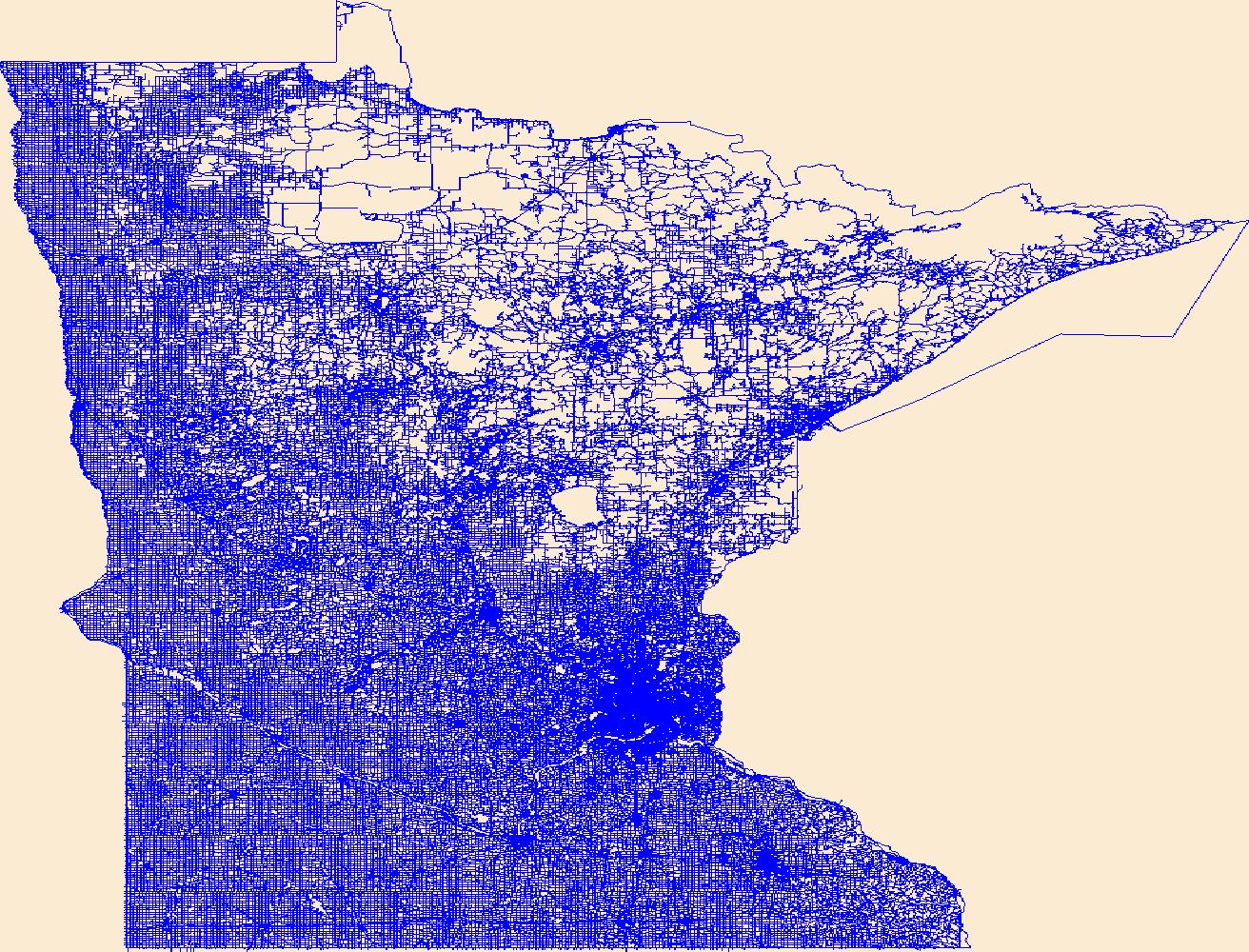
Layers of geospatial data include roads, airports, trails, and railroads.
Tags: Airport Complex,
Airport Point,
Airport Runway,
Airports,
Airstrips, All tags...
Aitkin,
Anoka,
Becker,
Beltrami,
Benton,
Big Stone,
Blue Earth,
Brown,
Carlton,
Carver,
Cass,
Chippewa,
Chisago,
Clay,
Clearwater,
Cook,
Cottonwood,
Crow Wing,
Dakota,
Dodge,
Douglas,
Downloadable Data,
Faribault,
Fillmore,
Freeborn,
GeoPackage,
Geographic names,
Goodhue,
Grant,
Hennepin,
Houston,
Hubbard,
Isanti,
Itasca,
Jackson,
Kanabec,
Kandiyohi,
Kittson,
Koochiching,
Lac qui Parle,
Lake,
Lake of the Woods,
Le Sueur,
Lincoln,
Lyon,
MN,
Mahnomen,
Marshall,
Martin,
McLeod,
Meeker,
Mille Lacs,
Minnesota,
Morrison,
Mower,
Murray,
National Transportation Dataset (NTD),
National Transportation Dataset (NTD),
Nicollet,
Nobles,
Norman,
Olmsted,
Open Geospatial Consortium GeoPackage 1.2,
Otter Tail,
Pennington,
Pine,
Pipestone,
Polk,
Pope,
Railways,
Ramsey,
Red Lake,
Redwood,
Renville,
Rice,
Roads,
Rock,
Roseau,
Scott,
Sherburne,
Sibley,
St. Louis,
State,
State,
Stearns,
Steele,
Stevens,
Swift,
Todd,
Trail,
Trails,
Transportation,
Transportation,
Traverse,
US,
United States,
Wabasha,
Wadena,
Waseca,
Washington,
Waterway,
Watonwan,
Wilkin,
Winona,
Wright,
Yellow Medicine,
transportation, Fewer tags

Layers of geospatial data include roads, airports, trails, and railroads.
Tags: Airport Complex,
Airport Point,
Airport Runway,
Airports,
Airstrips, All tags...
Alameda,
Alpine,
Amador,
Butte,
CA,
Calaveras,
California,
Colusa,
Contra Costa,
Del Norte,
Downloadable Data,
El Dorado,
Fresno,
GeoPackage,
Geographic names,
Glenn,
Humboldt,
Imperial,
Inyo,
Kern,
Kings,
Lake,
Lassen,
Los Angeles,
Madera,
Marin,
Mariposa,
Mendocino,
Merced,
Modoc,
Mono,
Monterey,
Napa,
National Transportation Dataset (NTD),
National Transportation Dataset (NTD),
Nevada,
Open Geospatial Consortium GeoPackage 1.2,
Orange,
Placer,
Plumas,
Railways,
Riverside,
Roads,
Sacramento,
San Benito,
San Bernardino,
San Diego,
San Francisco,
San Joaquin,
San Luis Obispo,
San Mateo,
Santa Barbara,
Santa Clara,
Santa Cruz,
Shasta,
Sierra,
Siskiyou,
Solano,
Sonoma,
Stanislaus,
State,
State,
Sutter,
Tehama,
Trail,
Trails,
Transportation,
Transportation,
Trinity,
Tulare,
Tuolumne,
US,
United States,
Ventura,
Waterway,
Yolo,
Yuba,
transportation, Fewer tags
Layers of geospatial data include roads, airports, trails, and railroads.
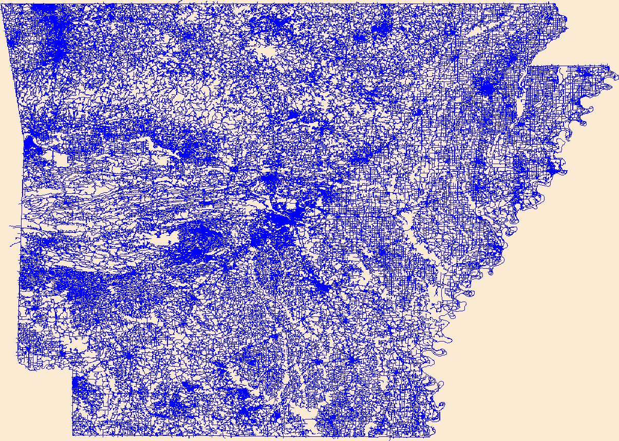
Tags: AR,
Airport Complex,
Airport Point,
Airport Runway,
Airports, All tags...
Airstrips,
Arkansas,
Arkansas,
Ashley,
Baxter,
Benton,
Boone,
Bradley,
Calhoun,
Carroll,
Chicot,
Clark,
Clay,
Cleburne,
Cleveland,
Columbia,
Conway,
Craighead,
Crawford,
Crittenden,
Cross,
Dallas,
Desha,
Downloadable Data,
Drew,
Faulkner,
Franklin,
Fulton,
Garland,
GeoPackage,
Geographic names,
Grant,
Greene,
Hempstead,
Hot Spring,
Howard,
Independence,
Izard,
Jackson,
Jefferson,
Johnson,
Lafayette,
Lawrence,
Lee,
Lincoln,
Little River,
Logan,
Lonoke,
Madison,
Marion,
Miller,
Mississippi,
Monroe,
Montgomery,
National Transportation Dataset (NTD),
National Transportation Dataset (NTD),
Nevada,
Newton,
Open Geospatial Consortium GeoPackage 1.2,
Ouachita,
Perry,
Phillips,
Pike,
Poinsett,
Polk,
Pope,
Prairie,
Pulaski,
Railways,
Randolph,
Roads,
Saline,
Scott,
Searcy,
Sebastian,
Sevier,
Sharp,
St. Francis,
State,
State,
Stone,
Trail,
Trails,
Transportation,
Transportation,
US,
Union,
United States,
Van Buren,
Washington,
Waterway,
White,
Woodruff,
Yell,
transportation, Fewer tags
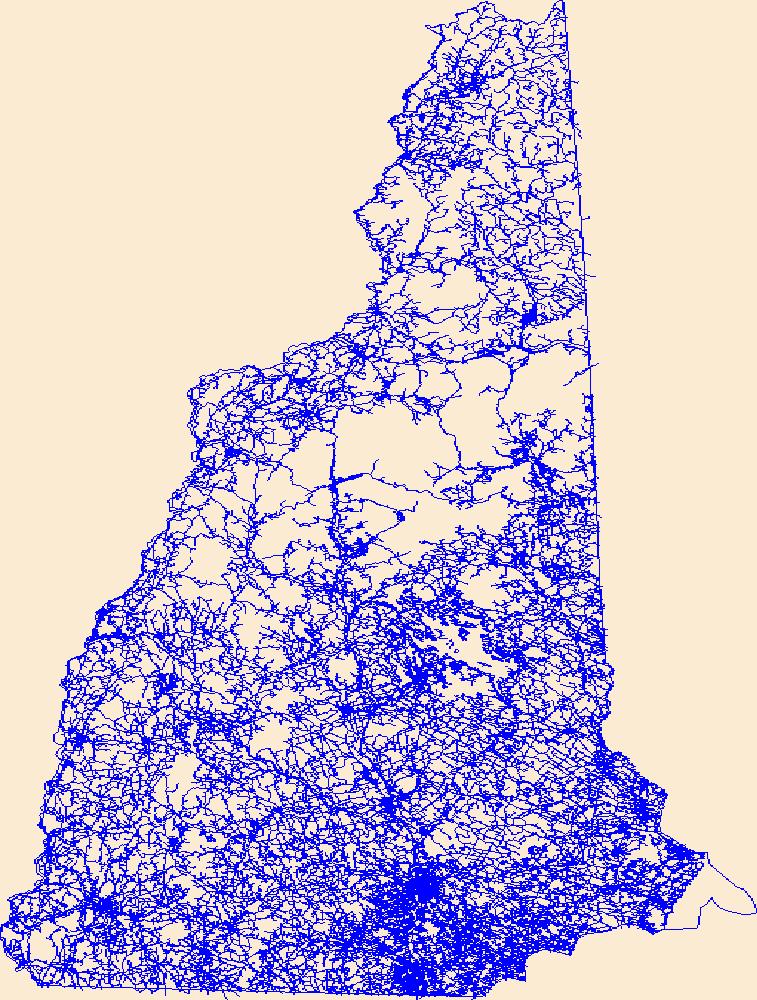
Layers of geospatial data include roads, airports, trails, and railroads.
Tags: Airport Complex,
Airport Point,
Airport Runway,
Airports,
Airstrips, All tags...
Belknap,
Carroll,
Cheshire,
Coos,
Downloadable Data,
GeoPackage,
Geographic names,
Grafton,
Hillsborough,
Merrimack,
NH,
National Transportation Dataset (NTD),
National Transportation Dataset (NTD),
New Hampshire,
Open Geospatial Consortium GeoPackage 1.2,
Railways,
Roads,
Rockingham,
State,
State,
Strafford,
Sullivan,
Trail,
Trails,
Transportation,
Transportation,
US,
United States,
Waterway,
transportation, Fewer tags

This web map contains the ESRI ArcGIS Online World Topographic Map service, (aka "the community basemap"). The World Topographic Map service is designed to be used as a basemap by GIS professionals and as a reference map by anyone. The service includes administrative boundaries, cities, water features, physiographic features, parks, landmarks, highways, roads, railways, airports, and buildings overlaid on land cover and s
Categories: Data;
Types: ArcGIS REST Map Service,
Map Service;
Tags: Administrative Area,
Airports,
Buildings,
Cities,
Highways, All tags...
Land Cover,
Maps,
Shaded Relief,
Topographic,
community map,
landmarks,
parks,
railroads,
roads,
topo,
topographic maps,
topography,
traps,
water, Fewer tags

A layer of the Airports within the state of Wyoming

This data depicts infrastructure locations in Alaska as digitized primarily from 1:24,000, 1:63,360, and 1:250,000 USGS quadrangles. The source document that represented the newest information and best geographic location was used to capture the data. All infrastructure from the primary source document was digitized and then supplemented with the information from other source documents for additional or updated infrastructure or attributes.
Types: Downloadable;
Tags: Alaska Marine Highway,
BLM,
Bureau of Land Management,
DOI,
Facility, All tags...
Geospatial,
REA,
Rapid Ecoregional Assessment,
SNK 2010,
Seward Peninsula,
Trans-Alaska Pipeline,
airfields,
airports,
electrical lines,
foot trails,
forestry development roads,
gas lines,
highways,
infrastructure,
landing airstrip,
logging roads,
marine highway,
pipeline,
power lines,
railroads,
roads,
telephone lines,
tractor trails,
trails,
transmission lines,
transportation,
utilitiesCommunication,
winter trails, Fewer tags
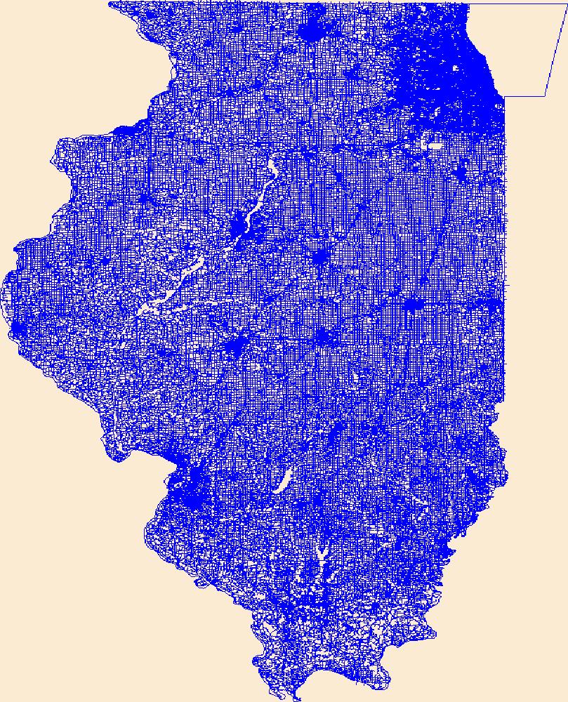
Layers of geospatial data include roads, airports, trails, and railroads.
Tags: Adams,
Airport Complex,
Airport Point,
Airport Runway,
Airports, All tags...
Airstrips,
Alexander,
Bond,
Boone,
Brown,
Bureau,
Calhoun,
Carroll,
Cass,
Champaign,
Christian,
Clark,
Clay,
Clinton,
Coles,
Cook,
Crawford,
Cumberland,
De Witt,
DeKalb,
Douglas,
Downloadable Data,
DuPage,
Edgar,
Edwards,
Effingham,
Esri File GeoDatabase 10,
Fayette,
FileGDB,
Ford,
Franklin,
Fulton,
Gallatin,
Geographic names,
Greene,
Grundy,
Hamilton,
Hancock,
Hardin,
Henderson,
Henry,
IL,
Illinois,
Iroquois,
Jackson,
Jasper,
Jefferson,
Jersey,
Jo Daviess,
Johnson,
Kane,
Kankakee,
Kendall,
Knox,
LaSalle,
Lake,
Lawrence,
Lee,
Livingston,
Logan,
Macon,
Macoupin,
Madison,
Marion,
Marshall,
Mason,
Massac,
McDonough,
McHenry,
McLean,
Menard,
Mercer,
Monroe,
Montgomery,
Morgan,
Moultrie,
National Transportation Dataset (NTD),
National Transportation Dataset (NTD),
Ogle,
Peoria,
Perry,
Piatt,
Pike,
Pope,
Pulaski,
Putnam,
Railways,
Randolph,
Richland,
Roads,
Rock Island,
Saline,
Sangamon,
Schuyler,
Scott,
Shelby,
St. Clair,
Stark,
State,
State,
Stephenson,
Tazewell,
Trail,
Trails,
Transportation,
Transportation,
US,
Union,
United States,
Vermilion,
Wabash,
Warren,
Washington,
Waterway,
Wayne,
White,
Whiteside,
Will,
Williamson,
Winnebago,
Woodford,
transportation, Fewer tags
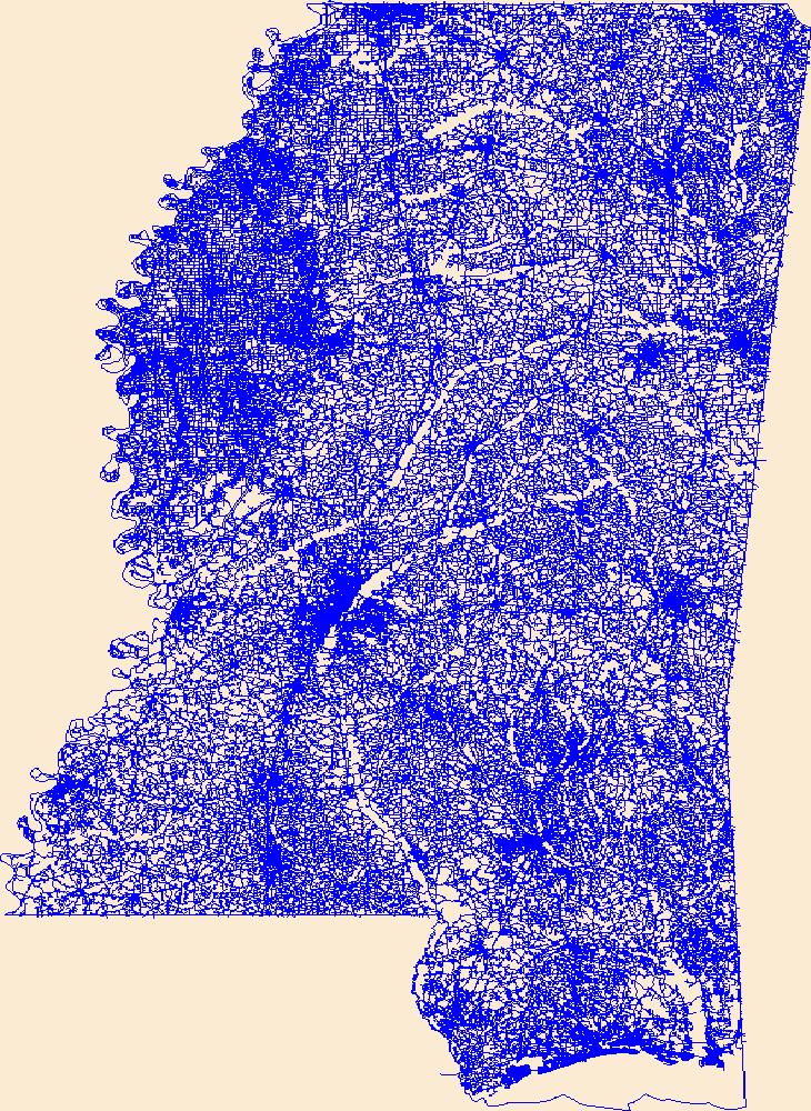
Layers of geospatial data include roads, airports, trails, and railroads.
Tags: Adams,
Airport Complex,
Airport Point,
Airport Runway,
Airports, All tags...
Airstrips,
Alcorn,
Amite,
Attala,
Benton,
Bolivar,
Calhoun,
Carroll,
Chickasaw,
Choctaw,
Claiborne,
Clarke,
Clay,
Coahoma,
Copiah,
Covington,
DeSoto,
Downloadable Data,
Esri Shapefile nan,
Forrest,
Franklin,
Geographic names,
George,
Greene,
Grenada,
Hancock,
Harrison,
Hinds,
Holmes,
Humphreys,
Issaquena,
Itawamba,
Jackson,
Jasper,
Jefferson,
Jefferson Davis,
Jones,
Kemper,
Lafayette,
Lamar,
Lauderdale,
Lawrence,
Leake,
Lee,
Leflore,
Lincoln,
Lowndes,
MS,
Madison,
Marion,
Marshall,
Mississippi,
Monroe,
Montgomery,
National Transportation Dataset (NTD),
National Transportation Dataset (NTD),
Neshoba,
Newton,
Noxubee,
Oktibbeha,
Panola,
Pearl River,
Perry,
Pike,
Pontotoc,
Prentiss,
Quitman,
Railways,
Rankin,
Roads,
Scott,
Shapefile,
Sharkey,
Simpson,
Smith,
State,
State,
Stone,
Sunflower,
Tallahatchie,
Tate,
Tippah,
Tishomingo,
Trail,
Trails,
Transportation,
Transportation,
Tunica,
US,
Union,
United States,
Walthall,
Warren,
Washington,
Waterway,
Wayne,
Webster,
Wilkinson,
Winston,
Yalobusha,
Yazoo,
transportation, Fewer tags

Layers of geospatial data include roads, airports, trails, and railroads.
Tags: Adams,
Airport Complex,
Airport Point,
Airport Runway,
Airports, All tags...
Airstrips,
Ashland,
Barron,
Bayfield,
Brown,
Buffalo,
Burnett,
Calumet,
Chippewa,
Clark,
Columbia,
Crawford,
Dane,
Dodge,
Door,
Douglas,
Downloadable Data,
Dunn,
Eau Claire,
Esri File GeoDatabase 10,
FileGDB,
Florence,
Fond du Lac,
Forest,
Geographic names,
Grant,
Green,
Green Lake,
Iowa,
Iron,
Jackson,
Jefferson,
Juneau,
Kenosha,
Kewaunee,
La Crosse,
Lafayette,
Langlade,
Lincoln,
Manitowoc,
Marathon,
Marinette,
Marquette,
Menominee,
Milwaukee,
Monroe,
National Transportation Dataset (NTD),
National Transportation Dataset (NTD),
Oconto,
Oneida,
Outagamie,
Ozaukee,
Pepin,
Pierce,
Polk,
Portage,
Price,
Racine,
Railways,
Richland,
Roads,
Rock,
Rusk,
Sauk,
Sawyer,
Shawano,
Sheboygan,
St. Croix,
State,
State,
Taylor,
Trail,
Trails,
Transportation,
Transportation,
Trempealeau,
US,
United States,
Vernon,
Vilas,
WI,
Walworth,
Washburn,
Washington,
Waterway,
Waukesha,
Waupaca,
Waushara,
Winnebago,
Wisconsin,
Wood,
transportation, Fewer tags
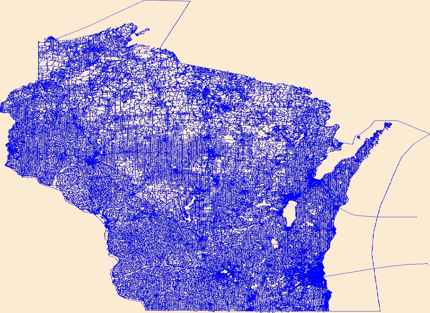
Layers of geospatial data include roads, airports, trails, and railroads.
Tags: Adams,
Airport Complex,
Airport Point,
Airport Runway,
Airports, All tags...
Airstrips,
Ashland,
Barron,
Bayfield,
Brown,
Buffalo,
Burnett,
Calumet,
Chippewa,
Clark,
Columbia,
Crawford,
Dane,
Dodge,
Door,
Douglas,
Downloadable Data,
Dunn,
Eau Claire,
Esri Shapefile nan,
Florence,
Fond du Lac,
Forest,
Geographic names,
Grant,
Green,
Green Lake,
Iowa,
Iron,
Jackson,
Jefferson,
Juneau,
Kenosha,
Kewaunee,
La Crosse,
Lafayette,
Langlade,
Lincoln,
Manitowoc,
Marathon,
Marinette,
Marquette,
Menominee,
Milwaukee,
Monroe,
National Transportation Dataset (NTD),
National Transportation Dataset (NTD),
Oconto,
Oneida,
Outagamie,
Ozaukee,
Pepin,
Pierce,
Polk,
Portage,
Price,
Racine,
Railways,
Richland,
Roads,
Rock,
Rusk,
Sauk,
Sawyer,
Shapefile,
Shawano,
Sheboygan,
St. Croix,
State,
State,
Taylor,
Trail,
Trails,
Transportation,
Transportation,
Trempealeau,
US,
United States,
Vernon,
Vilas,
WI,
Walworth,
Washburn,
Washington,
Waterway,
Waukesha,
Waupaca,
Waushara,
Winnebago,
Wisconsin,
Wood,
transportation, Fewer tags
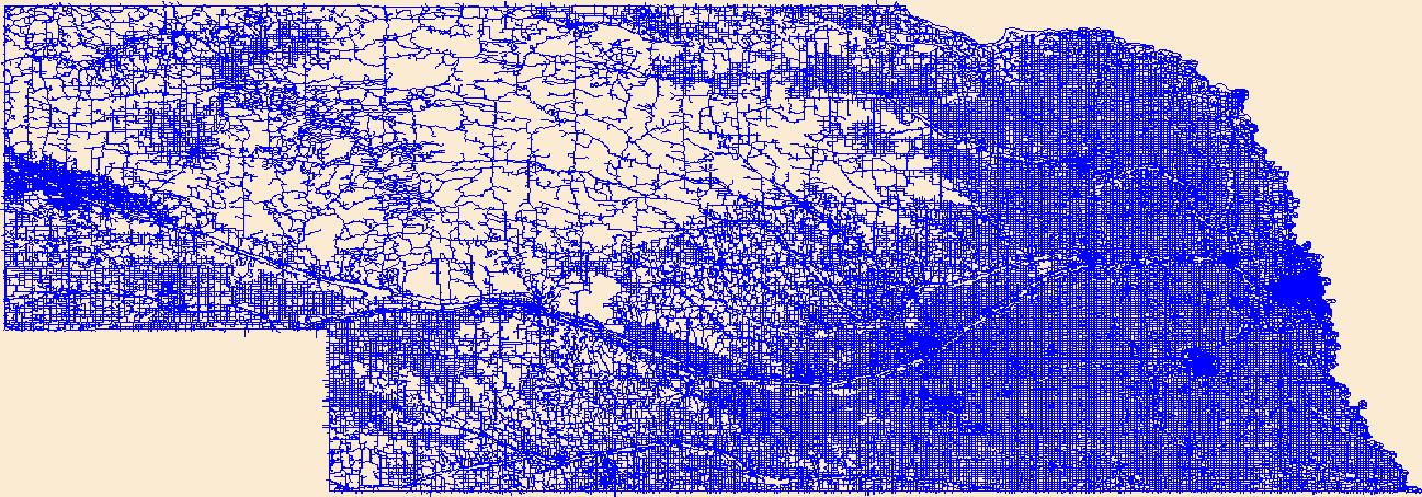
Layers of geospatial data include roads, airports, trails, and railroads.
Tags: Adams,
Airport Complex,
Airport Point,
Airport Runway,
Airports, All tags...
Airstrips,
Antelope,
Arthur,
Banner,
Blaine,
Boone,
Box Butte,
Boyd,
Brown,
Buffalo,
Burt,
Butler,
Cass,
Cedar,
Chase,
Cherry,
Cheyenne,
Clay,
Colfax,
Cuming,
Custer,
Dakota,
Dawes,
Dawson,
Deuel,
Dixon,
Dodge,
Douglas,
Downloadable Data,
Dundy,
Esri File GeoDatabase 10,
FileGDB,
Fillmore,
Franklin,
Frontier,
Furnas,
Gage,
Garden,
Garfield,
Geographic names,
Gosper,
Grant,
Greeley,
Hall,
Hamilton,
Harlan,
Hayes,
Hitchcock,
Holt,
Hooker,
Howard,
Jefferson,
Johnson,
Kearney,
Keith,
Keya Paha,
Kimball,
Knox,
Lancaster,
Lincoln,
Logan,
Loup,
Madison,
McPherson,
Merrick,
Morrill,
NE,
Nance,
National Transportation Dataset (NTD),
National Transportation Dataset (NTD),
Nebraska,
Nemaha,
Nuckolls,
Otoe,
Pawnee,
Perkins,
Phelps,
Pierce,
Platte,
Polk,
Railways,
Red Willow,
Richardson,
Roads,
Rock,
Saline,
Sarpy,
Saunders,
Scotts Bluff,
Seward,
Sheridan,
Sherman,
Sioux,
Stanton,
State,
State,
Thayer,
Thomas,
Thurston,
Trail,
Trails,
Transportation,
Transportation,
US,
United States,
Valley,
Washington,
Waterway,
Wayne,
Webster,
Wheeler,
York,
transportation, Fewer tags
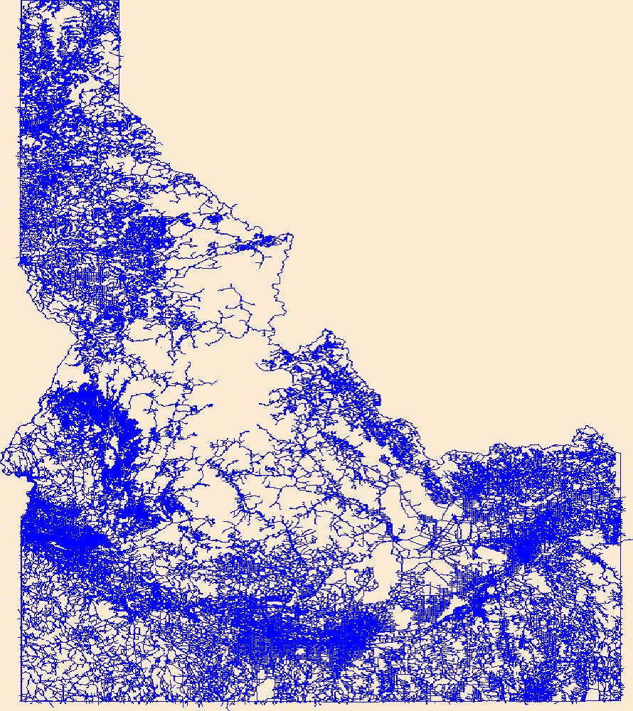
Layers of geospatial data include roads, airports, trails, and railroads.
Tags: Ada,
Adams,
Airport Complex,
Airport Point,
Airport Runway, All tags...
Airports,
Airstrips,
Bannock,
Bear Lake,
Benewah,
Bingham,
Blaine,
Boise,
Bonner,
Bonneville,
Boundary,
Butte,
Camas,
Canyon,
Caribou,
Cassia,
Clark,
Clearwater,
Custer,
Downloadable Data,
Elmore,
Esri File GeoDatabase 10,
FileGDB,
Franklin,
Fremont,
Gem,
Geographic names,
Gooding,
ID,
Idaho,
Idaho,
Jefferson,
Jerome,
Kootenai,
Latah,
Lemhi,
Lewis,
Lincoln,
Madison,
Minidoka,
National Transportation Dataset (NTD),
National Transportation Dataset (NTD),
Nez Perce,
Oneida,
Owyhee,
Payette,
Power,
Railways,
Roads,
Shoshone,
State,
State,
Teton,
Trail,
Trails,
Transportation,
Transportation,
Twin Falls,
US,
United States,
Valley,
Washington,
Waterway,
transportation, Fewer tags
|
|

