Filters: Tags: Alberta (X)
303 results (14ms)|
Filters
|
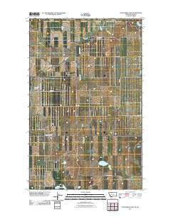
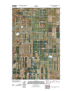
This data set contains imagery from the National Agriculture Imagery Program (NAIP). The NAIP program is administered by USDA FSA and has been established to support two main FSA strategic goals centered on agricultural production. These are, increase stewardship of America's natural resources while enhancing the environment, and to ensure commodities are procured and distributed effectively and efficiently to increase food security. The NAIP program supports these goals by acquiring and providing ortho imagery that has been collected during the agricultural growing season in the U.S. The NAIP ortho imagery is tailored to meet FSA requirements and is a fundamental tool used to support FSA farm and conservation programs....
This data set contains imagery from the National Agriculture Imagery Program (NAIP). The NAIP program is administered by USDA FSA and has been established to support two main FSA strategic goals centered on agricultural production. These are increase stewardship of America's natural resources while enhancing the environment, and to ensure commodities are procured and distributed effectively and efficiently to increase food security. The NAIP program supports these goals by acquiring and providing ortho imagery that has been collected during the agricultural growing season in the U.S. The NAIP ortho imagery is tailored to meet FSA requirements and is a fundamental tool used to support FSA farm and conservation programs....

The mapping of land capability for forestry is based on a national classification system comparable with the other Canada Land Inventory sectors. Land is rated according to seven classes on its capability to grow commercial timber in areas stocked with the optimum number and species of trees. This rating considers the land in its natural state, without improvements such as fertilization, drainage, or amelioration practices. This dataset contains Land Capability Ratings for the surveyed portions of the province of Alberta, for areas south of 56 degrees N latitude (Alberta is divided into two datasets due to file size constraints). Land ratings and classes may change, however, significant changes will only be achieved...

A coal/CBM database was implemented by the Alberta Geological Survey to capture and manage information related to coalbed methane (CBM). The database is a compilation of data from many different sources and contains information on 7923 wells (15,200 formation picks; 37,357 coal picks; 495 coal analyses; and 363 vitrinite reflectance measurements). This is a subset of those wells that fall inside the coal zone.

A nationally compiled dataset containing provincial Forest Tenures/Forest Management Areas and other administrative areas where rights to establish, grow, harvest or remove timber from a particular area of land has been granted. Each province has different boundary definitions and/or harvesting practices which prevents this dataset from having a standard defined tenure unit for all of Canada (See data sources in metadata). British Columbia was the only province where tenure boundaries had to be complied from several different sources in order to have a definable tenure unit comparable to other provinces (see NOTES in metadata).

Extent of disturbance directly related to oil sands surface mining activity up to 2008.
This data release comprises a dataset that contains sample collection information and microsatellite genotypes, and another dataset that contains single nucleotide polymorphism (SNP) genotypes with sample collection information for populations of white-tailed ptarmigan across the species' range. There is also an additional file (accession numbers.xlsx) linking samples to accession numbers in Genbank. This data was collected in order to address the following: The delineation of intraspecific units that are evolutionarily and demographically distinct is an important step in the development of species-specific management plans. Neutral genetic variation has served as the primary data source for delineating units for...
These data represent simulated soil temperature and moisture conditions for current climate, and for future climate represented by all available climate models at two time periods during the 21st century. These data were used to: 1) quantify the direction and magnitude of expected changes in several measures of soil temperature and soil moisture, including the key variables used to distinguish the regimes used in the R and R categories; 2) assess how these changes will impact the geographic distribution of soil temperature and moisture regimes; and 3) explore the implications for using R and R categories for estimating future ecosystem resilience and resistance.
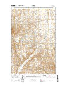
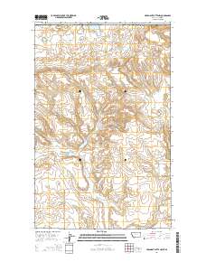
Layered GeoPDF 7.5 Minute Quadrangle Map. Layers of geospatial data include orthoimagery, roads, grids, geographic names, elevation contours, hydrography, and other selected map features.
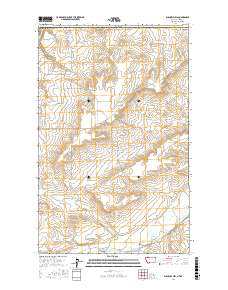
Layered GeoPDF 7.5 Minute Quadrangle Map. Layers of geospatial data include orthoimagery, roads, grids, geographic names, elevation contours, hydrography, and other selected map features.
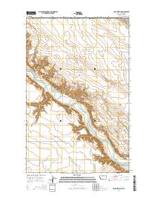
Layered GeoPDF 7.5 Minute Quadrangle Map. Layers of geospatial data include orthoimagery, roads, grids, geographic names, elevation contours, hydrography, and other selected map features.
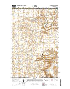
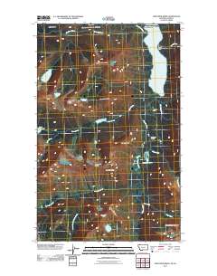
Layered GeoPDF 7.5 Minute Quadrangle Map. Layers of geospatial data include orthoimagery, roads, grids, geographic names, elevation contours, hydrography, and other selected map features.
Layered GeoPDF 7.5 Minute Quadrangle Map. Layers of geospatial data include orthoimagery, roads, grids, geographic names, elevation contours, hydrography, and other selected map features.
Layered geospatial PDF Map. Layers of geospatial data include orthoimagery, roads, grids, geographic names, elevation contours, hydrography, and other selected map features.
Layered GeoPDF 7.5 Minute Quadrangle Map. Layers of geospatial data include orthoimagery, roads, grids, geographic names, elevation contours, hydrography, and other selected map features.
Layered GeoPDF 7.5 Minute Quadrangle Map. Layers of geospatial data include orthoimagery, roads, grids, geographic names, elevation contours, hydrography, and other selected map features.
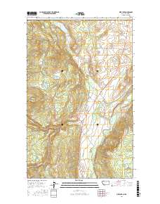
Layered geospatial PDF Map. Layers of geospatial data include orthoimagery, roads, grids, geographic names, elevation contours, hydrography, and other selected map features.
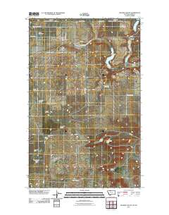
Layered GeoPDF 7.5 Minute Quadrangle Map. Layers of geospatial data include orthoimagery, roads, grids, geographic names, elevation contours, hydrography, and other selected map features.

The National Hydrography Dataset (NHD) is a feature-based database that interconnects and uniquely identifies the stream segments or reaches that make up the nation's surface water drainage system. NHD data was originally developed at 1:100,000-scale and exists at that scale for the whole country. This high-resolution NHD, generally developed at 1:24,000/1:12,000 scale, adds detail to the original 1:100,000-scale NHD. (Data for Alaska, Puerto Rico and the Virgin Islands was developed at high-resolution, not 1:100,000 scale.) Local resolution NHD is being developed where partners and data exist. The NHD contains reach codes for networked features, flow direction, names, and centerline representations for areal water...
For the past six years, the Bureau of Reclamation (BOR) has funded the USGS to study fish responses to restoration efforts and to construct a model relating stream habitat with fish population dynamics in the Methow River Basin, a tributary of the Columbia River. In the proposed study, we will use fish growth, distribution and movement (USGS data), foodweb data (Idaho State University), river flow (BOR data that we will expand) and water temperature data (from numerous agencies) to develop spatially-explicit bioenergetics models to assess effects of climate change on the viability of resident salmonid populations based on models being developed by USGS. The bioenergetics models will integrate such things as climate-change...
Categories: Data,
Project;
Types: Map Service,
OGC WFS Layer,
OGC WMS Layer,
OGC WMS Service;
Tags: Alberta,
British Columbia,
Bull Trout,
Climate Change,
Climate Change,
|

|
