Filters: Tags: Ash Fork (X)
16 results (39ms)|
Filters
Date Range
Extensions Types Contacts
Categories Tag Types Tag Schemes |
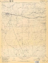
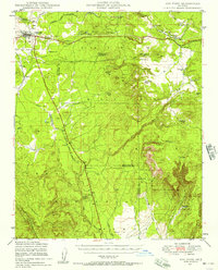
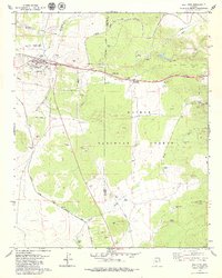
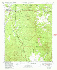
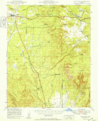
USGS Historical Quadrangle in GeoPDF.
South of Interstate 40 mule deer reside in Game Management Units (GMU) 8 and 6B in Arizona. The herd summers in high-elevation open meadows and ponderosa pine habitat southwest of Flagstaff, Arizona. In late October, the herd migrates west to lower elevation pinyon-juniper and shrub habitats near the junction of Interstate 40 and U.S. Highway 89. With funding support by the U.S. Department of the Interior (USDI) through Secretarial Order 3362, research on this herd’s migration began in February 2020. Additional GPS collars were deployed in January 2022 with support from the U.S. Forest Service, Mule Deer Foundation, and other partners. Primary threats to the herd’s migration involve high volume roads including Interstate...
Categories: Data;
Types: Downloadable,
Map Service,
OGC WFS Layer,
OGC WMS Layer,
Shapefile;
Tags: Arizona,
Ash Fork,
Bellemont,
Flagstaff,
Parks,
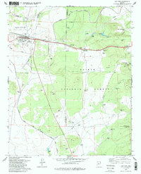
This data set contains imagery from the National Agriculture Imagery Program (NAIP). The NAIP program is administered by USDA FSA and has been established to support two main FSA strategic goals centered on agricultural production. These are, increase stewardship of America's natural resources while enhancing the environment, and to ensure commodities are procured and distributed effectively and efficiently to increase food security. The NAIP program supports these goals by acquiring and providing ortho imagery that has been collected during the agricultural growing season in the U.S. The NAIP ortho imagery is tailored to meet FSA requirements and is a fundamental tool used to support FSA farm and conservation programs....
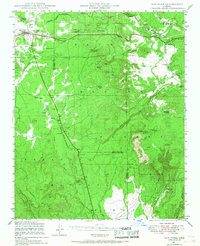
USGS Historical Quadrangle in GeoPDF.
This data set contains imagery from the National Agriculture Imagery Program (NAIP). The NAIP program is administered by USDA FSA and has been established to support two main FSA strategic goals centered on agricultural production. These are, increase stewardship of America's natural resources while enhancing the environment, and to ensure commodities are procured and distributed effectively and efficiently to increase food security. The NAIP program supports these goals by acquiring and providing ortho imagery that has been collected during the agricultural growing season in the U.S. The NAIP ortho imagery is tailored to meet FSA requirements and is a fundamental tool used to support FSA farm and conservation programs....
This data set contains imagery from the National Agriculture Imagery Program (NAIP). The NAIP program is administered by USDA FSA and has been established to support two main FSA strategic goals centered on agricultural production. These are, increase stewardship of America's natural resources while enhancing the environment, and to ensure commodities are procured and distributed effectively and efficiently to increase food security. The NAIP program supports these goals by acquiring and providing ortho imagery that has been collected during the agricultural growing season in the U.S. The NAIP ortho imagery is tailored to meet FSA requirements and is a fundamental tool used to support FSA farm and conservation programs....
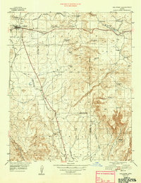
USGS Historical Quadrangle in GeoPDF.
USGS Historical Quadrangle in GeoPDF.
USGS Historical Quadrangle in GeoPDF.
USGS Historical Quadrangle in GeoPDF.
USGS Historical Quadrangle in GeoPDF.
This data set contains imagery from the National Agriculture Imagery Program (NAIP). The NAIP program is administered by USDA FSA and has been established to support two main FSA strategic goals centered on agricultural production. These are, increase stewardship of America's natural resources while enhancing the environment, and to ensure commodities are procured and distributed effectively and efficiently to increase food security. The NAIP program supports these goals by acquiring and providing ortho imagery that has been collected during the agricultural growing season in the U.S. The NAIP ortho imagery is tailored to meet FSA requirements and is a fundamental tool used to support FSA farm and conservation programs....
South of Interstate 40 mule deer reside in Game Management Units (GMU) 8 and 6B in Arizona. The herd summers in high-elevation open meadows and ponderosa pine habitat southwest of Flagstaff, Arizona. In late October, the herd migrates west to lower elevation pinyon-juniper and shrub habitats near the junction of Interstate 40 and U.S. Highway 89. With funding support by the U.S. Department of the Interior (USDI) through Secretarial Order 3362, research on this herd’s migration began in February 2020. Additional GPS collars were deployed in January 2022 with support from the U.S. Forest Service, Mule Deer Foundation, and other partners. Primary threats to the herd’s migration involve high volume roads including Interstate...
Categories: Data;
Types: Downloadable,
Map Service,
OGC WFS Layer,
OGC WMS Layer,
Shapefile;
Tags: Arizona,
Ash Fork,
Bellemont,
Flagstaff,
Parks,
|

|
