Filters: Tags: BIG TIMBER (X)
16 results (82ms)|
Filters
Date Range
Types Contacts
Categories Tag Types Tag Schemes |
We collected diets on Yellowstone cutthroat trout (Oncorhynchus clarkii bouvieri) and brown trout (Salmo trutta) above (Yellowstone cutthroat trout allopatry) and below (Yellowstone cutthroat trout sympatry with brown trout) a natural barrier in Duck Creek, Montana. We used gastric lavage methods to collect diets, and samples were placed in storage containers and taken back to our lab and frozen until sorting. All samples were sorted by Rhithron, Inc. (Missoula, MT) with individuals identified down to the order.
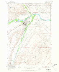
USGS Historical Quadrangle in GeoPDF.

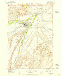
USGS Historical Quadrangle in GeoPDF.
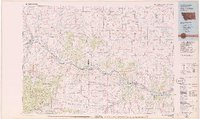
USGS Historical Quadrangle in GeoPDF.
USGS Historical Quadrangle in GeoPDF.
This data set contains imagery from the National Agriculture Imagery Program (NAIP). The NAIP program is administered by USDA FSA and has been established to support two main FSA strategic goals centered on agricultural production. These are, increase stewardship of America's natural resources while enhancing the environment, and to ensure commodities are procured and distributed effectively and efficiently to increase food security. The NAIP program supports these goals by acquiring and providing ortho imagery that has been collected during the agricultural growing season in the U.S. The NAIP ortho imagery is tailored to meet FSA requirements and is a fundamental tool used to support FSA farm and conservation programs....
We collected lengths and weights of Yellowstone cutthroat trout (Oncorhynchus clarkii bouvieri) and brown trout (Salmo trutta) above (Yellowstone cutthroat trout allopatry) and below (Yellowstone cutthroat trout sympatry with brown trout) a natural barrier in Duck Creek, Montana.
We collected lengths and weights and diets of Yellowstone cutthroat trout (Oncorhynchus clarkii bouvieri) and brown trout (Salmo trutta) above (Yellowstone cutthroat trout allopatry) and below (Yellowstone cutthroat trout sympatry with brown trout) a natural barrier in Duck Creek, Montana.
Types: Citation;
Tags: Big Timber,
Montana,
USGS Science Data Catalog (SDC),
Upper Yellowstone,
Wildlife Biology,
USGS Historical Quadrangle in GeoPDF.

USGS Historical Quadrangle in GeoPDF.
|

|
