Filters: Tags: Bagdad (X)
40 results (36ms)|
Filters
Date Range
Types Contacts
Categories Tag Types Tag Schemes |
ADMMR map collection: Bagdad District Location Map; 1 in. to 1 mile; 15 x 15 in.
ADMMR map collection: Bagdad Underground Mine, 2960 Haulage Level; 1 in. to 100 feet; 22 x 30 in.
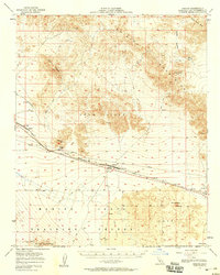
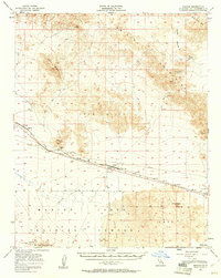
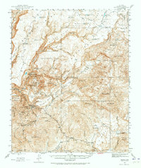
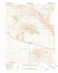
USGS Historical Quadrangle in GeoPDF.
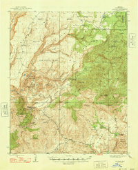
USGS Historical Quadrangle in GeoPDF.
ADMMR map collection: Sections Through Bagdad Mine; 1 in. to 450 feet; 11 x 9 in.
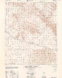
USGS Historical Quadrangle in GeoPDF.
This data set contains imagery from the National Agriculture Imagery Program (NAIP). The NAIP program is administered by USDA FSA and has been established to support two main FSA strategic goals centered on agricultural production. These are, increase stewardship of America's natural resources while enhancing the environment, and to ensure commodities are procured and distributed effectively and efficiently to increase food security. The NAIP program supports these goals by acquiring and providing ortho imagery that has been collected during the agricultural growing season in the U.S. The NAIP ortho imagery is tailored to meet FSA requirements and is a fundamental tool used to support FSA farm and conservation programs....
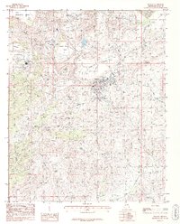
USGS Historical Quadrangle in GeoPDF.
USGS Historical Quadrangle in GeoPDF.
ADMMR map collection: Bagdad, Drill Hole Map; 1 in. to 100 feet; 26 x 22 in.
ADMMR map collection: Geologic Map of the Bagdad Project Area; 1 in. to 500 feet; 42 x 54 in.
USGS Historical Quadrangle in GeoPDF.
ADMMR map collection: Bagdad Underground Mine Surface Subsidence; 1 in. to 100 feet; 22 x 29 in.
USGS Historical Quadrangle in GeoPDF.
ADMMR map collection: Arizona Bagdad Copper Co. Vertical Section, Map No. 13; 1 in. to 50 feet; 38 x 28 in.
This data set contains imagery from the National Agriculture Imagery Program (NAIP). The NAIP program is administered by USDA FSA and has been established to support two main FSA strategic goals centered on agricultural production. These are, increase stewardship of America's natural resources while enhancing the environment, and to ensure commodities are procured and distributed effectively and efficiently to increase food security. The NAIP program supports these goals by acquiring and providing ortho imagery that has been collected during the agricultural growing season in the U.S. The NAIP ortho imagery is tailored to meet FSA requirements and is a fundamental tool used to support FSA farm and conservation programs....
ADMMR map collection: Bagdad Underground Plan, Geology 3020 Level; 1 in. to 25 feet; 37 x 26 in.
ADMMR map collection: Bagdad Mine Plan of Chute and Intermediate Sets on Haulage Level; 1 in. to 10 feet; 14 x 12 in.
ADMMR map collection: Quantitative Flowsheet Bagdad Copper Corporation Reduction Plant; 25 x 21 in.
ADMMR map collection: General Geologic Map of the Property of the Arizona Bagdad Copper Co.; 1 in. to 800 feet; 16 x 12 in.
|

|
