Filters: Tags: Bar Harbor (X)
22 results (30ms)|
Filters
Date Range
Extensions Types Contacts
Categories Tag Types Tag Schemes |
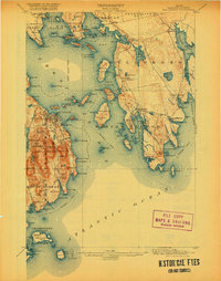
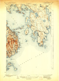
USGS Historical Quadrangle in GeoPDF.

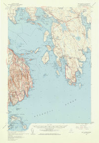
USGS Historical Quadrangle in GeoPDF.
This data set contains imagery from the National Agriculture Imagery Program (NAIP). The NAIP program is administered by USDA FSA and has been established to support two main FSA strategic goals centered on agricultural production. These are, increase stewardship of America's natural resources while enhancing the environment, and to ensure commodities are procured and distributed effectively and efficiently to increase food security. The NAIP program supports these goals by acquiring and providing ortho imagery that has been collected during the agricultural growing season in the U.S. The NAIP ortho imagery is tailored to meet FSA requirements and is a fundamental tool used to support FSA farm and conservation programs....
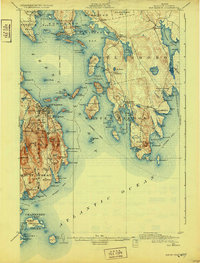
USGS Historical Quadrangle in GeoPDF.

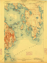
USGS Historical Quadrangle in GeoPDF.
USGS Historical Quadrangle in GeoPDF.
This data set contains imagery from the National Agriculture Imagery Program (NAIP). The NAIP program is administered by USDA FSA and has been established to support two main FSA strategic goals centered on agricultural production. These are, increase stewardship of America's natural resources while enhancing the environment, and to ensure commodities are procured and distributed effectively and efficiently to increase food security. The NAIP program supports these goals by acquiring and providing ortho imagery that has been collected during the agricultural growing season in the U.S. The NAIP ortho imagery is tailored to meet FSA requirements and is a fundamental tool used to support FSA farm and conservation programs....

USGS Historical Quadrangle in GeoPDF.
USGS Historical Quadrangle in GeoPDF.
USGS Historical Quadrangle in GeoPDF.
USGS Historical Quadrangle in GeoPDF.
USGS Historical Quadrangle in GeoPDF.

USGS Historical Quadrangle in GeoPDF.
USGS Historical Quadrangle in GeoPDF.
This data set contains imagery from the National Agriculture Imagery Program (NAIP). The NAIP program is administered by USDA FSA and has been established to support two main FSA strategic goals centered on agricultural production. These are, increase stewardship of America's natural resources while enhancing the environment, and to ensure commodities are procured and distributed effectively and efficiently to increase food security. The NAIP program supports these goals by acquiring and providing ortho imagery that has been collected during the agricultural growing season in the U.S. The NAIP ortho imagery is tailored to meet FSA requirements and is a fundamental tool used to support FSA farm and conservation programs....
The U.S. Geological Survey (USGS) Upper Midwest Environmental Sciences Center (UMESC) has produced the Vegetation Spatial Database Coverage (vegetation map) for the Acadia National Park Vegetation Mapping Project, USGS-NPS Vegetation Mapping Program (VMP). The vegetation map is of Acadia National Park (NP) and extended environs, providing 99,693 hectares (246,347 acres) of map data. Of this coverage, 52,872 hectares (130,650 acres) is non-vegetated ocean, bay, and estuary (53% of coverage). Acadia NP comprises 19,276 hectares (47,633 acres) of the total data coverage area (19%, 40% not counting ocean and estuary data). Over 7,120 polygons make up the coverage, each with map class description and, for vegetation...
Categories: Data;
Types: Downloadable,
Map Service,
OGC WFS Layer,
OGC WMS Layer,
Shapefile;
Tags: Acadia National Park,
Acadia National Park Vegetation Mapping Project,
Bar Harbor,
Digital Spatial Database,
Hancock County,

USGS Historical Quadrangle in GeoPDF.
|

|
