Filters: Tags: Beckham County (X) > Date Range: {"choice":"year"} (X)
4 results (9ms)|
Filters
Date Types (for Date Range)
Tag Types Tag Schemes |

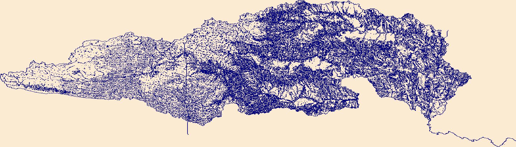
The High Resolution National Hydrography Dataset Plus (NHDPlus HR) is an integrated set of geospatial data layers, including the best available National Hydrography Dataset (NHD), the 10-meter 3D Elevation Program Digital Elevation Model (3DEP DEM), and the National Watershed Boundary Dataset (WBD). The NHDPlus HR combines the NHD, 3DEP DEMs, and WBD to create a stream network with linear referencing, feature naming, "value added attributes" (VAAs), elevation-derived catchments, and other features for hydrologic data analysis. The stream network with linear referencing is a system of data relationships applied to hydrographic systems so that one stream reach "flows" into another and "events" can be tied to and traced...

A previously developed model (https://doi.org/10.3133/sir20175098) was coupled with downscaled climate model data to determine the impact of climate variability on base flow and groundwater storage in the North Fork Red River aquifer, Oklahoma. The North Fork Red River aquifer is an alluvial aquifer that discharges groundwater to the North Fork Red River, which provides inflow to Lake Altus, an important water source for the surrounding communities. The impact of climate variability on hydrologic systems and the resulting effects on basins has become an important topic in assessing future water resources. Global climate projections from general circulation models, including the Coupled Model Intercomparison Project...

In 2017 the U.S. Geological Survey, in cooperation with the Oklahoma Water Resources Board, published a calibrated numerical groundwater-flow model and associated model documentation report that evaluated the effects of potential groundwater withdrawals on groundwater flow and availability in the North Fork Red River aquifer in southwest Oklahoma. The results of groundwater-availability scenarios run on the calibrated numerical groundwater-flow model could be used by the Oklahoma Water Resources Board to reevaluate the maximum annual yield of groundwater from the North Fork Red River aquifer in Oklahoma. The numerical groundwater-flow model was built on a hydrogeologic framework and a conceptual groundwater-flow...
The High Resolution National Hydrography Dataset Plus (NHDPlus HR) is an integrated set of geospatial data layers, including the best available National Hydrography Dataset (NHD), the 10-meter 3D Elevation Program Digital Elevation Model (3DEP DEM), and the National Watershed Boundary Dataset (WBD). The NHDPlus HR combines the NHD, 3DEP DEMs, and WBD to create a stream network with linear referencing, feature naming, "value added attributes" (VAAs), elevation-derived catchments, and other features for hydrologic data analysis. The stream network with linear referencing is a system of data relationships applied to hydrographic systems so that one stream reach "flows" into another and "events" can be tied to and traced...
|

|
