Filters: Tags: Beverly Hills (X)
17 results (107ms)|
Filters
Date Range
Types Contacts
Categories Tag Types Tag Schemes |
We acquired multiple types of controlled-source seismic data across the Hollywood Fault in Hollywood, Calif., and the Santa Monica Fault in Beverly Hills, Calif., in May and June of 2018. We acquired two separate profiles across the Hollywood Fault, and from those data, we can evaluate multiple seismic datasets, including guided-wave data, tomographic Vp data, and tomographic Vs data. From the datasets, we can calculate multiple seismic models, including Vp/Vs and Poisson's ratio models derived from tomographic Vp and Vs data, Rayleigh-wave-based Vs models, Love-wave-based Vs models, Vp/Vs and Poisson's ratio models (derived from combinations of tomographic-based Vp and surface-wave-based Vs models), P-wave reflection...
Categories: Data;
Tags: Beverly Hills,
Hollywood,
Seismology,
USGS Science Data Catalog (SDC),
earthquakes,
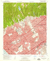
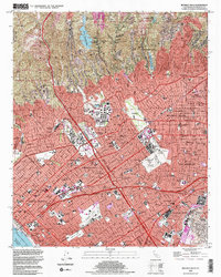
USGS Historical Quadrangle in GeoPDF.
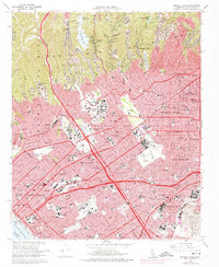
USGS Historical Quadrangle in GeoPDF.
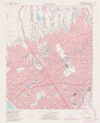
USGS Historical Quadrangle in GeoPDF.
This data set contains imagery from the National Agriculture Imagery Program (NAIP). The NAIP program is administered by USDA FSA and has been established to support two main FSA strategic goals centered on agricultural production. These are, increase stewardship of America's natural resources while enhancing the environment, and to ensure commodities are procured and distributed effectively and efficiently to increase food security. The NAIP program supports these goals by acquiring and providing ortho imagery that has been collected during the agricultural growing season in the U.S. The NAIP ortho imagery is tailored to meet FSA requirements and is a fundamental tool used to support FSA farm and conservation programs....
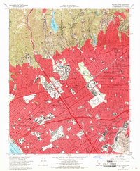
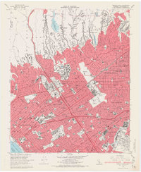
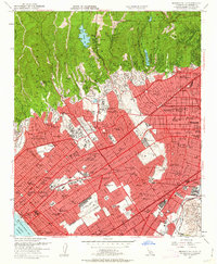
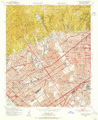
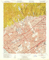
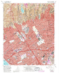
USGS Historical Quadrangle in GeoPDF.
USGS Historical Quadrangle in GeoPDF.
This data set contains imagery from the National Agriculture Imagery Program (NAIP). The NAIP program is administered by USDA FSA and has been established to support two main FSA strategic goals centered on agricultural production. These are, increase stewardship of America's natural resources while enhancing the environment, and to ensure commodities are procured and distributed effectively and efficiently to increase food security. The NAIP program supports these goals by acquiring and providing ortho imagery that has been collected during the agricultural growing season in the U.S. The NAIP ortho imagery is tailored to meet FSA requirements and is a fundamental tool used to support FSA farm and conservation programs....
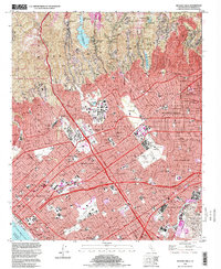
USGS Historical Quadrangle in GeoPDF.
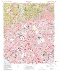
USGS Historical Quadrangle in GeoPDF.
USGS Historical Quadrangle in GeoPDF.
USGS Historical Quadrangle in GeoPDF.
This data set contains imagery from the National Agriculture Imagery Program (NAIP). The NAIP program is administered by USDA FSA and has been established to support two main FSA strategic goals centered on agricultural production. These are, increase stewardship of America's natural resources while enhancing the environment, and to ensure commodities are procured and distributed effectively and efficiently to increase food security. The NAIP program supports these goals by acquiring and providing ortho imagery that has been collected during the agricultural growing season in the U.S. The NAIP ortho imagery is tailored to meet FSA requirements and is a fundamental tool used to support FSA farm and conservation programs....
USGS Historical Quadrangle in GeoPDF.
USGS Historical Quadrangle in GeoPDF.
|

|
