Filters: Tags: Big Delta (X)
19 results (44ms)|
Filters
Contacts
(Less)
|
This map illustrates extents and types of unconsolidated deposits and bedrock in the Big Delta A-4 Quadrangle, Alaska. This map is based on field observations begun by P�w� in 1949 and by Reger in 1976. Unit characteristics and extents were determined during field visits and by interpreting 1:40,000-scale black-and-white aerial photographs taken in August 1949 and 1:63,360-scale, false-color infrared aerial photographs taken in July 1978, August 1980, and August 1981.
This data release is part of a 2016-2019 study on the geology, geochemistry and geochronology of ore systems in the eastern Yukon-Tanana Upland region, Alaska. Whole rock chemistry was conducted on 185 samples, mostly from Au prospects, with lesser samples from porphyry Cu prospects. Geographically, most samples are from gold prospects near the Pogo Au mine and east to Black Mountain in the Big Delta quadrangle. Fewer samples are from prospects in the Eagle and Tanacross Quadrangles. Samples were submitted to the USGS contract laboratory and analyzed for select trace elements and gold. Sixty elements were determined by inductively coupled plasma-optical emission spectroscopy-mass spectroscopy (ICP-OES-MS), sodium...
Categories: Data;
Types: Downloadable,
Map Service,
OGC WFS Layer,
OGC WMS Layer,
Shapefile;
Tags: Alaska,
Big Delta,
Black Mountain,
Eagle,
Economic Geology,
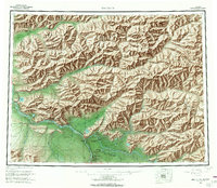
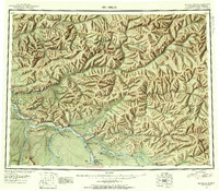
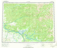
USGS Historical Quadrangle in GeoPDF.
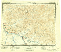
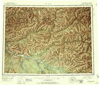
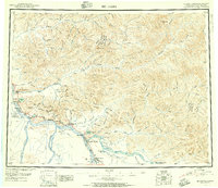
USGS Historical Quadrangle in GeoPDF.
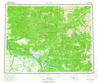
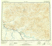
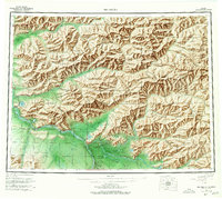
USGS Historical Quadrangle in GeoPDF.
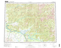
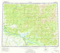
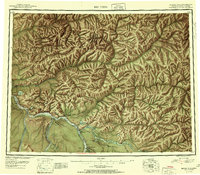
USGS Historical Quadrangle in GeoPDF.
USGS Historical Quadrangle in GeoPDF.
USGS Historical Quadrangle in GeoPDF.
USGS Historical Quadrangle in GeoPDF.
USGS Historical Quadrangle in GeoPDF.
USGS Historical Quadrangle in GeoPDF.
USGS Historical Quadrangle in GeoPDF.
During 2006 and 2007 the Alaska Division of Geological & Geophysical Surveys conducted reconnaissance interpretive mapping of permafrost in Alaska Highway Corridor Segment 1, which straddles the Alaska Highway through the Tanana River valley from Delta Junction to the eastern boundary of the Mt. Hayes Quadrangle. Primarily, we inferred the extent of permafrost and ice content by interpreting ~1:63,360-scale, false-color infrared aerial photographs taken in August 1980.
USGS Historical Quadrangle in GeoPDF.
USGS Historical Quadrangle in GeoPDF.
During 2006 and 2007 the Alaska Division of Geological & Geophysical Surveys conducted reconnaissance surficial-geologic mapping in segment 1 of the Alaska Highway corridor, which straddles the Alaska Highway through the Tanana River valley from Delta Junction to the eastern boundary of the Mt. Hayes Quadrangle. Surficial-geologic deposits were initially mapped by interpreting ~1:63,360-scale, false-color infrared aerial photographs taken in August 1980 and field verified in 2006-2007.
The engineering-geologic map, on two sheets, is derived electronically from the surficial-geologic map of the initial segment of the proposed natural gas pipeline corridor through the upper Tanana valley (Reger and others, PIR 2008-3a) using Geographic Information System (GIS) software. Surficial-geologic units were initially identified by interpretation of false-color ~1:63,000-scale infrared aerial photographs taken in July 1978, August 1980, and August 1981 and locally verified by field checking in 2006 and 2007. The map shows the distribution of surficial-geologic and bedrock units grouped genetically with common properties that are typically significant for engineering applications.
During the 2006 and 2007 field seasons, geologic features indicative of possible youthful surface faulting in or near the Alaska Highway corridor between Delta Junction and Dot Lake were identified by helicopter and fixed-wing air reconnaissance, augmented by interpretation of stereo air photos, remotely sensed images, and aeromagnetic and electromagnetic (EM) datanction to the eastern boundary of the Mt. Hayes Quadrangle. The largest of these faults is the previously unrecognized Dot "T" Johnson fault, a major west-trending, south-dipping thrust fault bordering the northern margin of the Alaska Range along the south side of the Tanana River valley. Two other faults identified as active in this study, the Canteen...
This data release is the result of a hydrogeochemical sampling campaign during summer 2021 to investigate whether high resolution geochemical analysis of waters for element chemistry can be used as an exploration tool for identifying gold-rich occurrences in parts of the Big Delta B-1 and B-2 quadrangles, within the Yukon-Tanana Upland region, Alaska. Historical USGS conventional stream sediment geochemical data yielded variable indications of geochemical anomalies in conventional stream sediment geochemistry results, probably related to relative exposure of mineralized rock. Previous studies of waters in the Pogo area (western part of current study) utilized conventional analytical methods not capable of measuring...
|

|
