Filters: Tags: Big Island (X)
16 results (19ms)|
Filters
Date Range
Types Contacts
Tag Types Tag Schemes |

The shapefile associated with this metadata file represents the spatial distribution of mean annual water-budget components, in inches, for Hawaii Island, Hawaii. The water-budget components in the shapefile were computed by a water-budget model for a scenario representative of predevelopment conditions (1916-83 rainfall and 1870 land cover), as described in USGS Scientific Investigations Report (SIR) 2015-5164. The model was developed for estimating groundwater recharge and other water-budget components for each subarea of the model. The model-subarea data set, consisting of 467,805 subareas (polygons), was generated using Esri ArcGIS software by intersecting (merging) multiple spatial data sets. Spatial datasets...
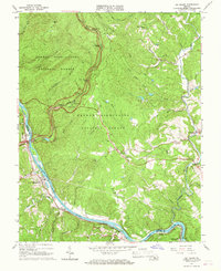
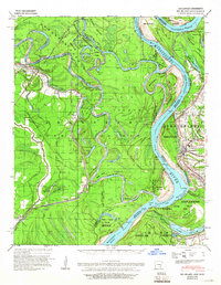
USGS Historical Quadrangle in GeoPDF.
The US Geological Survey, in cooperation with the National Park Service, mapped 35 7.5-minute quadrangles, within a 2-mile-wide+ corridor centered on the Parkway, from BLRI (Blue Ridge Parkway) Mile Post (MP) 0 near Afton, Virginia southward to MP 218 at Cumberland Knob, approximately 1.3 km south of the Virginia – North Carolina State Line. Detailed bedrock geologic mapping for this project was conducted at 1:24,000-scale by systematically traversing roads, trails, creeks, and ridges within and adjacent to the 2-mile-wide+ corridor along the 216.9-mile length of the BLRI in Virginia. Geologic data at more than 23,000 station points were collected during this project (September 2009 – February 2014), with approximately...
This data set contains imagery from the National Agriculture Imagery Program (NAIP). The NAIP program is administered by USDA FSA and has been established to support two main FSA strategic goals centered on agricultural production. These are, increase stewardship of America's natural resources while enhancing the environment, and to ensure commodities are procured and distributed effectively and efficiently to increase food security. The NAIP program supports these goals by acquiring and providing ortho imagery that has been collected during the agricultural growing season in the U.S. The NAIP ortho imagery is tailored to meet FSA requirements and is a fundamental tool used to support FSA farm and conservation programs....
This data set contains imagery from the National Agriculture Imagery Program (NAIP). The NAIP program is administered by USDA FSA and has been established to support two main FSA strategic goals centered on agricultural production. These are, increase stewardship of America's natural resources while enhancing the environment, and to ensure commodities are procured and distributed effectively and efficiently to increase food security. The NAIP program supports these goals by acquiring and providing ortho imagery that has been collected during the agricultural growing season in the U.S. The NAIP ortho imagery is tailored to meet FSA requirements and is a fundamental tool used to support FSA farm and conservation programs....
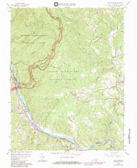
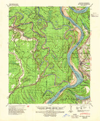
USGS Historical Quadrangle in GeoPDF.
The US Geological Survey, in cooperation with the National Park Service, mapped 35 7.5-minute quadrangles, within a 2-mile-wide+ corridor centered on the Parkway, from BLRI (Blue Ridge Parkway) Mile Post (MP) 0 near Afton, Virginia southward to MP 218 at Cumberland Knob, approximately 1.3 km south of the Virginia – North Carolina State Line. Detailed bedrock geologic mapping for this project was conducted at 1:24,000-scale by systematically traversing roads, trails, creeks, and ridges within and adjacent to the 2-mile-wide+ corridor along the 216.9-mile length of the BLRI in Virginia. Geologic data at more than 23,000 station points were collected during this project (September 2009 – February 2014), with approximately...
Types: Citation;
Tags: Adney Gap,
Air Bellows Gap,
Alligator Back Formation,
Antietam Formation,
Ashe Formation,
This data set contains imagery from the National Agriculture Imagery Program (NAIP). The NAIP program is administered by USDA FSA and has been established to support two main FSA strategic goals centered on agricultural production. These are, increase stewardship of America's natural resources while enhancing the environment, and to ensure commodities are procured and distributed effectively and efficiently to increase food security. The NAIP program supports these goals by acquiring and providing ortho imagery that has been collected during the agricultural growing season in the U.S. The NAIP ortho imagery is tailored to meet FSA requirements and is a fundamental tool used to support FSA farm and conservation programs....
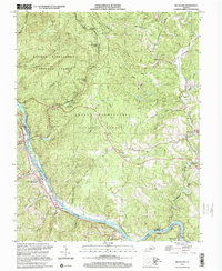
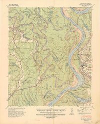
USGS Historical Quadrangle in GeoPDF.
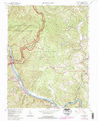
USGS Historical Quadrangle in GeoPDF.
USGS Historical Quadrangle in GeoPDF.
This data set contains imagery from the National Agriculture Imagery Program (NAIP). The NAIP program is administered by USDA FSA and has been established to support two main FSA strategic goals centered on agricultural production. These are, increase stewardship of America's natural resources while enhancing the environment, and to ensure commodities are procured and distributed effectively and efficiently to increase food security. The NAIP program supports these goals by acquiring and providing ortho imagery that has been collected during the agricultural growing season in the U.S. The NAIP ortho imagery is tailored to meet FSA requirements and is a fundamental tool used to support FSA farm and conservation programs....
USGS Historical Quadrangle in GeoPDF.
U.S. Geological Survey (USGS) and University of Hawaii - Mānoa (UH) scientists conducted field data collection efforts from August 19th - 27th, 2019 at Pu‘uhonua O Hōnaunau National Historical Park on the Big Island of Hawaii. The data collection efforts utilized a combination of remote sensing technologies to map the topography, critical infrastructure, and most importantly, the cultural assets of Pu‘uhonua O Hōnaunau National Historical Park. The USGS and UH team collected Global Navigation Satellite System (GNSS), total station, and ground based lidar (GBL) data, along with utilizing Uncrewed Aerial Systems (UAS) to collect imagery and UAS lidar to map these features. This data release contains shapefiles of...

The shapefile associated with this metadata file represents the spatial distribution of mean annual water-budget components, in inches, for Hawaii Island, Hawaii. The water-budget components in the shapefile were computed by a water-budget model for a scenario representative of recent conditions (1916-83 rainfall and 2008 land cover), as described in USGS Scientific Investigations Report (SIR) 2011-5078 and summarized in USGS SIR 2015-5164. The model was developed for estimating groundwater recharge and other water-budget components for each subarea of the model. The model-subarea dataset, consisting of 467,805 subareas (polygons), was generated using Esri ArcGIS software by intersecting (merging) multiple spatial...
USGS Historical Quadrangle in GeoPDF.
|

|
