Filters: Tags: Big Piney (X)
25 results (85ms)|
Filters
Date Range
Extensions Types Contacts
Categories Tag Types Tag Schemes |
This data set contains imagery from the National Agriculture Imagery Program (NAIP). The NAIP program is administered by USDA FSA and has been established to support two main FSA strategic goals centered on agricultural production. These are increase stewardship of America's natural resources while enhancing the environment, and to ensure commodities are procured and distributed effectively and efficiently to increase food security. The NAIP program supports these goals by acquiring and providing ortho imagery that has been collected during the agricultural growing season in the U.S. The NAIP ortho imagery is tailored to meet FSA requirements and is a fundamental tool used to support FSA farm and conservation programs....
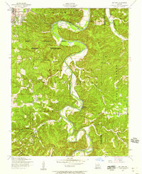
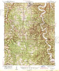
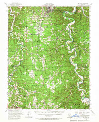
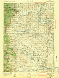
USGS Historical Quadrangle in GeoPDF.
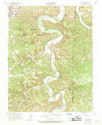
USGS Historical Quadrangle in GeoPDF.
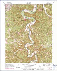
USGS Historical Quadrangle in GeoPDF.
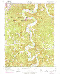
USGS Historical Quadrangle in GeoPDF.
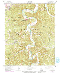
USGS Historical Quadrangle in GeoPDF.
This data set contains imagery from the National Agriculture Imagery Program (NAIP). The NAIP program is administered by USDA FSA and has been established to support two main FSA strategic goals centered on agricultural production. These are increase stewardship of America's natural resources while enhancing the environment, and to ensure commodities are procured and distributed effectively and efficiently to increase food security. The NAIP program supports these goals by acquiring and providing ortho imagery that has been collected during the agricultural growing season in the U.S. The NAIP ortho imagery is tailored to meet FSA requirements and is a fundamental tool used to support FSA farm and conservation programs....
This data depicts 100-year (Zone A) flood prone areas - within the Pinedale BLM Field Office. These areas were drawn from HUD maps.
Categories: Data;
Types: Downloadable;
Tags: 100-year Flood Plain,
Big Piney,
FEMA,
Flood,
Flood Plain,
USGS Historical Quadrangle in GeoPDF.
USGS Historical Quadrangle in GeoPDF.
USGS Historical Quadrangle in GeoPDF.
USGS Historical Quadrangle in GeoPDF.
This data depicts range improvement projects (RIP) on BLM land in the Pinedale Field Office including type of project, located and date constructed or implemented. This data does not address condition of RIP. These projects are constructed with the objective of improving rangelands through the proper distribution of livestock.
Categories: Data;
Types: Downloadable;
Tags: BLM,
Big Piney,
Federal Government,
Grazing,
Over Grazing,
This data set contains imagery from the National Agriculture Imagery Program (NAIP). The NAIP program is administered by USDA FSA and has been established to support two main FSA strategic goals centered on agricultural production. These are increase stewardship of America's natural resources while enhancing the environment, and to ensure commodities are procured and distributed effectively and efficiently to increase food security. The NAIP program supports these goals by acquiring and providing ortho imagery that has been collected during the agricultural growing season in the U.S. The NAIP ortho imagery is tailored to meet FSA requirements and is a fundamental tool used to support FSA farm and conservation programs....
These are areas of special management within the Pinedale BLM Field Office. These areas are treated differently than other areas with special consideration. These areas do not fit in other management categories such as Areas of Critical Environmental Concern (ACEC), Wilderness Study Areas (WSA) or Special Recreation Management Areas (SRMA).
Categories: Data;
Types: Downloadable;
Tags: Air Force,
BLM,
Big Piney,
Controlled Surface Use,
Cora Stock Driveway,
This data depicts range improvement projects (RIP) on BLM land in the Pinedale Field Office including type of project, located and date constructed or implemented. This data does not address condition of RIP. These projects are constructed with the objective of improving rangelands through the proper distribution of livestock.
Categories: Data;
Types: Downloadable;
Tags: Big Piney,
Grazing,
Over Grazing,
Pinedale,
Pinedale BLM Field Office,

USGS Historical Quadrangle in GeoPDF.

USGS Historical Quadrangle in GeoPDF.
|

|
