Filters: Tags: Black River (X) > partyWithName: U.S. Geological Survey (X)
26 results (91ms)|
Filters
Date Range
Types Contacts
Categories Tag Types Tag Schemes |
This Benthic Invertebrate Community Analysis dataset, a conceptual subgroup of the Lake Erie Ecological Investigations (LEEI) dataset, focuses on the benthic invertebrates sampled at Areas of Concern (AOCs) on Lake Erie. Per the Quality Assurance Project Plan (QAPP), the invertebrate samples were taken from sediments remaining from the sediment analysis. Identification of the invertebrates was completed by the same invertebrate taxonomist for both the 1998-2000 evaluation and 1986-87 historical evaluation (Smith et al. 1994) for increased consistency. Oligochaetes were identified to species if possible, chironomids were identified to genus, as adult specimens are needed for specific identification, and other taxa...

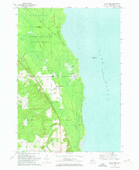
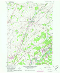
USGS Historical Quadrangle in GeoPDF.
These data represent reproductive ecology characteristics for 4 species of mature female turtles captured at Elephant Butte Reservoir on the Rio Grande River in New Mexico, during two field survey periods in June 2012 and 2013. Data were collected on female reproductive ecology including clutch size, egg size, timing of egg production, and the percentage of reproductive females using X-radiography. The purpose of these data are to add to the deficient information on the reproductive ecology of four turtle species at the Elephant Butte Reservoir on the Rio Grande and Black River in New Mexico. Data contained in this worksheet were analyzed to determine clutch and egg sizes for four native species of turtles (Apalone...

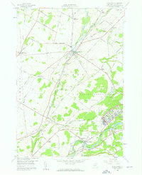
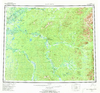
USGS Historical Quadrangle in GeoPDF.

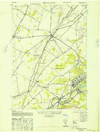
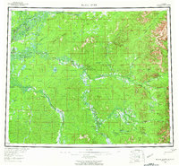
USGS Historical Quadrangle in GeoPDF.
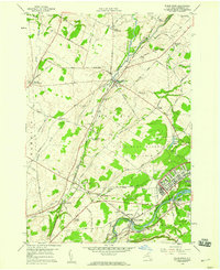
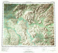
USGS Historical Quadrangle in GeoPDF.
USGS Historical Quadrangle in GeoPDF.
USGS Historical Quadrangle in GeoPDF.
This Sediment Analysis dataset, a conceptual subgroup of the Lake Erie Ecological Investigations (LEEI) dataset, focuses on the sediments sampled at Areas of Concern (AOCs) on Lake Erie. Per the Quality Assurance Project Plan (QAPP), sediment collections were a composite of at least five randomly selected samples collected from each site. Per an internal summary report, sediment samples were collected using a stainless steel Eckman dredge. Analytical methods and QA/QC were directed by the Patuxent Analytical Control Facility (PACF) of the US Fish and Wildlife Service. Per Dora Passino-Reader, the Geochemical & Environmental Research Group at Texas A&M University, College Station performed the analytical chemistry...
USGS Historical Quadrangle in GeoPDF.

USGS Historical Quadrangle in GeoPDF.
USGS Historical Quadrangle in GeoPDF.
USGS Historical Quadrangle in GeoPDF.
USGS Historical Quadrangle in GeoPDF.

USGS Historical Quadrangle in GeoPDF.
The Lake Erie Ecological Investigations (LEEI) dataset, housed at the Great Lakes Science Center (GLSC) was developed during a reevaluation of Lake Erie Areas of Concern (AOCs) from 1998-2000. These AOCs were recognized as such by the International Joint Commission (IJC) of the United States and Canada due to their severe water pollution problems. The dataset includes data from both the 1998-2000 reevaluation as well as data from other historical evaluations from the 1980’s to mid-1990’s for comparison where available. Data Description: Rivers and harbors of the Great Lakes have been impacted for decades by heavy industrialization, densely populated areas, and agriculture resulting in contamination, eutrophication,...
This part of the data release contains geospatial data collected and compiled during the Pecos River Basin salinity assessment of the Pecos River Basin from Santa Rosa Lake in New Mexico to the confluence of the Pecos River and the Rio Grande in Texas. Raster representations of horizontal extent, and depth below land surface to the base of sixteen Quaternary through Permian aged geologic units that underlie the Pecos River Basin are provided in image format. These units include: the San Andres Limestone; the Artesia Group which includes the Grayburg, Queen, Seven Rivers, Yates, and Tansill Formations; Capitan Limestone; Castile, Salado, and Rustler Formations; the Dewey Lake Redbeds; the Dockum Group (divided into...
Types: Map Service,
OGC WFS Layer,
OGC WMS Layer,
OGC WMS Service;
Tags: Andrews County,
Avalon Lake,
Black River,
Blue Hole,
Brantley Lake,
This Fish Community Analysis dataset, a conceptual subgroup of the Lake Erie Ecological Investigations (LEEI) dataset, focuses on the fish communities sampled at Areas of Concern (AOCs) on Lake Erie. Per the Quality Assurance Project Plan (QAPP), fish were sampled for identification and measurement of length and weight. Identification of fish were done by the same biologists for both the 1998-2000 data and the 1986-87 historical data (Smith et al. 1994). Any fish difficult to identify were preserved in buffered formalin for later identification. If large numbers of a particular species were collected the first thirty fish were measured and weighed; remaining fish were individually measured and group weighed. All...
USGS Historical Quadrangle in GeoPDF.
USGS Historical Quadrangle in GeoPDF.
|

|
