Filters: Tags: Boundaries (X) > Types: Citation (X)
198 results (17ms)|
Filters
Date Range
Extensions
Types Contacts
Categories Tag Types
|
This file contains the polygon SDE Feature Class for Federal Fluid Minerals(Oil and Gas) for the Bureau of Land Management(BLM)Montana/Dakotas. Federal Fluid Minerals as well as Federal Lease status and Indian Minerals/Leases are included. Plat maps are used to find federal mineral ownership and the Bureau of Land Management's LR2000 database is used to find current leasing status.
Categories: Data;
Types: Citation,
Downloadable,
Map Service,
OGC WFS Layer,
OGC WMS Layer,
OGC WMS Service,
Shapefile;
Tags: BLM,
Bureau of Land Management,
boundaries,
energy leasing,
environment,
Heavy rainfall occurred across Louisiana during March 8-19, 2016, as a result of a massive, slow-moving southward dip in the jet stream, which moved eastward across Mexico, then neared the Gulf Coast, funneling deep tropical moisture into parts of the Gulf States and the Mississippi River Valley. The storm caused major flooding in north-central and southeastern Louisiana. Digital flood-inundation maps for a 28-mile reach within the communities of Port Vincent, French Settlement, and Maurepas near the Amite River in Livingston and Ascension Parishes, LA was created by the U.S. Geological Survey (USGS) in cooperation with Federal Emergency Management Agency (FEMA) to support response and recovery operations following...

Geospatial data is comprised of government boundaries.

Geospatial data is comprised of government boundaries.

Geospatial data is comprised of government boundaries.

Geospatial data is comprised of government boundaries.

Geospatial data is comprised of government boundaries.

Geospatial data is comprised of government boundaries.

Geospatial data is comprised of government boundaries.
Sage-grouse habitat areas divided into proposed management categories within Nevada and California project study boundaries. HABITAT CATEGORY DETERMINATION The process for category determination was directed by the Nevada Sagebrush Ecosystem Technical team. Sage-grouse habitat was determined from a statewide resource selection function model and first categorized into 4 classes: high, moderate, low, and non-habitat. The standard deviations (SD) from a normal distribution of RSF values created from a set of validation points (10% of the entire telemetry dataset) were used to categorize habitat ‘quality’ classes. 1) High quality habitat comprised pixels with RSF values < 0.5 SD. 2) Moderate > 0.5 and < 1.0 SD. 3)...
Categories: Data;
Types: ArcGIS REST Map Service,
ArcGIS Service Definition,
Citation,
Downloadable,
Map Service,
OGC WFS Layer,
OGC WMS Layer,
OGC WMS Service;
Tags: Biota, Boundaries, Environment,
Greater sage-grouse,
Habitat,
Nevada,
Sage-Grouse,
This layer represents the roads for the Crown of the Continent Ecosystem. The data are a compilation from multiple sources.
Categories: Data;
Types: Citation,
Downloadable,
Map Service,
OGC WFS Layer,
OGC WMS Layer,
Shapefile;
Tags: CCE,
CCE,
CMP,
CMP,
Crown Managers Partnership,
This raster represents a continuous surface of sage-grouse habitat suitability index (HSI,created using ArcGIS 10.2.2) values for Nevada during the breeding season.

This data represents the map extent for current and historical USGS topographic maps for the United States and Territories, including 1 X 2 Degree, 1 X 1 Degree, 30 X 60 Minute, 15 X 15 Minute, 7.5 X 7.5 Minute, and 3.75 X 3.75 Minute. The grid was generated using ESRI ArcInfo GIS software.
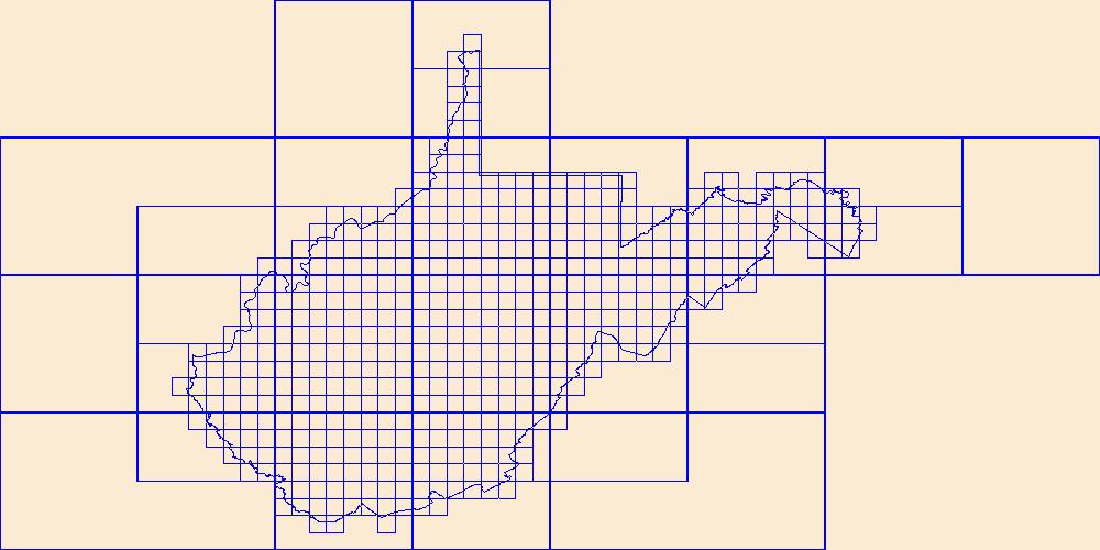
This data represents the map extent for current and historical USGS topographic maps for the United States and Territories, including 1 X 2 Degree, 1 X 1 Degree, 30 X 60 Minute, 15 X 15 Minute, 7.5 X 7.5 Minute, and 3.75 X 3.75 Minute. The grid was generated using ESRI ArcInfo GIS software.
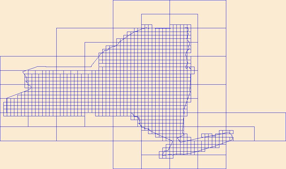
This data represents the map extent for current and historical USGS topographic maps for the United States and Territories, including 1 X 2 Degree, 1 X 1 Degree, 30 X 60 Minute, 15 X 15 Minute, 7.5 X 7.5 Minute, and 3.75 X 3.75 Minute. The grid was generated using ESRI ArcInfo GIS software.
This EnviroAtlas web service supports research and online mapping activities related to EnviroAtlas (https://www.epa.gov/enviroatlas). The Clean and Plentiful Water category in this web service includes layers illustrating the ecosystems and natural resources that filter and regulate water, the need or demand for clean and plentiful water, the impacts associated with water quality, and factors that place stress on water quality and supply. EnviroAtlas allows the user to interact with a web-based, easy-to-use, mapping application to view and analyze multiple ecosystem services for the conterminous United States. Additional descriptive information about each attribute in this web service is located within each web...
An area encompassing all the National Forest System lands within the Greater Yellowstone Ecosystem (GYE) administered by an administrative unit. The area encompasses private lands, other governmental agency lands, and may contain National Forest System lands within the proclaimed boundaries of another administrative unit. All National Forest System lands fall within one and only one Administrative Forest Area.
This layer represents the number of Tier 1 fish species known to occur in each HUC10 watershed in the state, according to data available in CPW’s fish database as of December 2014. There are 25 fish species on the Tier 1 SGCN list; a maximum of eight different species occur in the same watershed. This map is an indicator of species richness only; it does not consider relative habitat quality, or population metrics such as density or abundance, across watersheds.
Categories: Data;
Types: Citation,
Downloadable,
Map Service,
OGC WFS Layer,
OGC WMS Layer,
Shapefile;
Tags: Basin,
HUC,
HUC12,
Hydrologic Unit Code,
Hydrologic Units,
This EnviroAtlas web service supports research and online mapping activities related to EnviroAtlas (https://www.epa.gov/enviroatlas). The Food, Fuel, and Materials category in this web service includes layers illustrating the ecosystems and natural resources that provide or support the production of food, fuel, or other materials, the need or demand for these items, the impacts associated with their presence and accessibility, and factors that place stress on the natural environment's capability to provide these benefits. EnviroAtlas allows the user to interact with a web-based, easy-to-use, mapping application to view and analyze multiple ecosystem services for the conterminous United States. Additional descriptive...
The purpose of this dataset is to display the physical boundaries of Fire Management Zones within the U.S. Fish & Wildlife Service, Pacific Southwest Region.
Categories: Data;
Types: ArcGIS REST Map Service,
ArcGIS Service Definition,
Citation,
Downloadable,
Map Service;
Tags: California,
Nevada,
Oregon,
Wildlife Refuge,
boundaries,
|

|
