Filters: Tags: Bullfrog (X) > partyWithName: U.S. Geological Survey (X)
5 results (71ms)|
Filters
Date Range
Tag Types Tag Schemes |
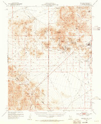
USGS Historical Quadrangle in GeoPDF.
USGS Historical Quadrangle in GeoPDF.
USGS Historical Quadrangle in GeoPDF.
USGS Historical Quadrangle in GeoPDF.
USGS Historical Quadrangle in GeoPDF.
|

|
