Filters: Tags: Carpinteria (X) > partyWithName: U.S. Geological Survey (X)
16 results (46ms)|
Filters
Date Range
Extensions Types Contacts
Categories Tag Types Tag Schemes |
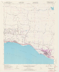
USGS Historical Quadrangle in GeoPDF.
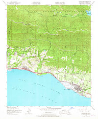
USGS Historical Quadrangle in GeoPDF.

This part of DS 781 presents data for the transgressive contours for the Point Conception to Hueneme Canyon, California, region. The vector file is included in "TransgressiveContours_PointConceptionToHuenemeCanyon.zip," which is accessible from http://dx.doi.org/10.5066/F7891424. As part of the USGS's California State Waters Mapping Project, a 50-m grid of sediment thickness for the seafloor within the 3-nautical mile limit between Point Conception and Hueneme Canyon was generated from seismic-reflection data collected in 2014 (USGS activity 2014-632-FA) supplemented with outcrop and geologic structure (fault) information following the methodology of Wong (2012). Water depths determined from bathymetry data were...
Categories: Data;
Types: Citation,
Downloadable,
Map Service,
OGC WFS Layer,
OGC WMS Layer,
Shapefile;
Tags: Carpinteria,
Coal Oil Point,
Gaviota,
Hueneme Canyon,
Pacific Ocean,

This part of DS 781 presents data for the isopachs for the Point Conception to Hueneme Canyon, California, region. The vector data file is included in "Isopachs_PointConceptionToHuenemeCanyon.zip," which is accessible from https://doi.org/10.5066/F7891424. As part of the USGS's California State Waters Mapping Project, a 50-m grid of sediment thickness for the seafloor within the 3-nautical mile limit between Point Conception and Hueneme Canyon was generated from seismic-reflection data collected in 2014 (USGS activity 2014-632-FA) supplemented with outcrop and geologic structure (fault) information following the methodology of Wong (2012). This sediment thickness layer was merged with a previously published sediment...
Categories: Data;
Types: Citation,
Downloadable,
Map Service,
OGC WFS Layer,
OGC WMS Layer,
Shapefile;
Tags: Carpinteria,
Coal Oil Point,
Gaviota,
Hueneme Canyon,
Pacific Ocean,
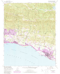
USGS Historical Quadrangle in GeoPDF.
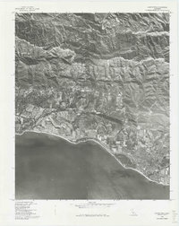
USGS Historical Quadrangle in GeoPDF.
USGS Historical Quadrangle in GeoPDF.
USGS Historical Quadrangle in GeoPDF.
USGS Historical Quadrangle in GeoPDF.
USGS Historical Quadrangle in GeoPDF.
USGS Historical Quadrangle in GeoPDF.
USGS Historical Quadrangle in GeoPDF.
USGS Historical Quadrangle in GeoPDF.

This part of DS 781 presents data for the sediment-thickness map of the Point Conception to Hueneme Canyon, California, region. The raster data file is included in "SedimentThickness_PointConceptionToHuenemeCanyon.zip," which is accessible from https://doi.org/10.5066/F7891424. As part of the USGS's California State Waters Mapping Project, a 50-m grid of sediment thickness for the seafloor within the 3-nautical mile limit between Point Conception and Hueneme Canyon was generated from seismic-reflection data collected in 2014 (USGS activity 2014-632-FA) supplemented with outcrop and geologic structure (fault) information following the methodology of Wong (2012). This sediment thickness layer was merged with a previously...
Categories: Data;
Types: Citation,
Downloadable,
GeoTIFF,
Map Service,
Raster;
Tags: Carpinteria,
Coal Oil Point,
Gaviota,
Hueneme Canyon,
Pacific Ocean,
USGS Historical Quadrangle in GeoPDF.
USGS Historical Quadrangle in GeoPDF.
|

|
