Filters
Date Range
Types
Contacts
Tag Types
Tag Schemes
|
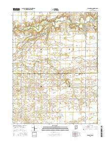
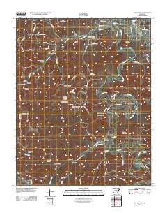
Layered geospatial PDF Map. Layers of geospatial data include orthoimagery, roads, grids, geographic names, elevation contours, hydrography, and other selected map features.
Tags: 7.5 x 7.5 minute,
Burlington, IN,
Carroll,
Clinton,
Downloadable Data, All tags...
EarthCover,
GeoPDF,
Howard,
Imagery and Base Maps,
Indiana,
Map,
Public Land Survey System,
U.S. National Grid,
US,
US Topo,
US Topo Historical,
United States,
boundary,
contour,
geographic names,
hydrography,
imageryBaseMapsEarthCover,
orthoimage,
structures,
topographic,
transportation,
woodland, Fewer tags
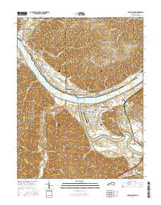
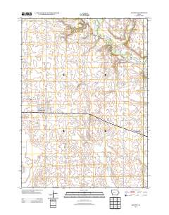
Layered GeoPDF 7.5 Minute Quadrangle Map. Layers of geospatial data include orthoimagery, roads, grids, geographic names, elevation contours, hydrography, and other selected map features.
Tags: 7.5 x 7.5 minute,
Carroll,
Carrollton, KY-IN,
Downloadable Data,
EarthCover, All tags...
GeoPDF,
Imagery and Base Maps,
Indiana,
Jefferson,
Kentucky,
Map,
Public Land Survey System,
Switzerland,
Trimble,
U.S. National Grid,
US,
US Topo,
US Topo Historical,
United States,
boundary,
contour,
geographic names,
hydrography,
imageryBaseMapsEarthCover,
orthoimage,
structures,
topographic,
transportation,
woodland, Fewer tags
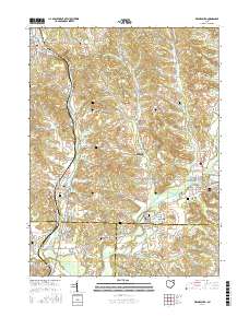
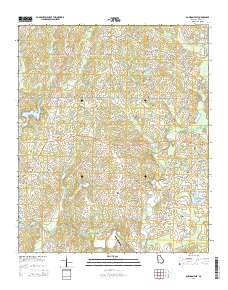
Layered geospatial PDF Map. Layers of geospatial data include orthoimagery, roads, grids, geographic names, elevation contours, hydrography, and other selected map features.
Tags: 7.5 x 7.5 minute,
Carroll,
Downloadable Data,
EarthCover,
GeoPDF, All tags...
Imagery and Base Maps,
Map,
Ohio,
Public Land Survey System,
Stark,
Tuscarawas,
U.S. National Grid,
US,
US Topo,
US Topo Historical,
United States,
Waynesburg, OH,
boundary,
contour,
geographic names,
hydrography,
imageryBaseMapsEarthCover,
orthoimage,
structures,
topographic,
transportation,
woodland, Fewer tags
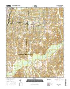
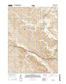
Layered GeoPDF 7.5 Minute Quadrangle Map. Layers of geospatial data include orthoimagery, roads, grids, geographic names, elevation contours, hydrography, and other selected map features.
Tags: 7.5 x 7.5 minute,
Carroll,
Downloadable Data,
EarthCover,
GeoPDF, All tags...
Gibson,
Imagery and Base Maps,
Madison,
Map,
Public Land Survey System,
Spring Creek, TN,
Tennessee,
U.S. National Grid,
US,
US Topo,
US Topo Historical,
United States,
boundary,
contour,
geographic names,
hydrography,
imageryBaseMapsEarthCover,
orthoimage,
structures,
topographic,
transportation,
woodland, Fewer tags
Layered GeoPDF 7.5 Minute Quadrangle Map. Layers of geospatial data include orthoimagery, roads, grids, geographic names, elevation contours, hydrography, and other selected map features.
Tags: 7.5 x 7.5 minute,
Arkansas,
Carroll,
Downloadable Data,
EarthCover, All tags...
GeoPDF,
Imagery and Base Maps,
Madison,
Map,
Rockhouse, AR,
U.S. National Grid,
US,
US Topo,
US Topo Historical,
United States,
contour,
geographic names,
hydrography,
imageryBaseMapsEarthCover,
orthoimage,
structures,
topographic,
transportation, Fewer tags
Layered GeoPDF 7.5 Minute Quadrangle Map. Layers of geospatial data include orthoimagery, roads, grids, geographic names, elevation contours, hydrography, and other selected map features.
Tags: 7.5 x 7.5 minute,
Carroll,
Downloadable Data,
EarthCover,
GeoPDF, All tags...
Glidden, IA,
Greene,
Imagery and Base Maps,
Iowa,
Map,
Public Land Survey System,
U.S. National Grid,
US,
US Topo,
US Topo Historical,
United States,
boundary,
contour,
geographic names,
hydrography,
imageryBaseMapsEarthCover,
orthoimage,
structures,
topographic,
transportation,
woodland, Fewer tags
Layered GeoPDF 7.5 Minute Quadrangle Map. Layers of geospatial data include orthoimagery, roads, grids, geographic names, elevation contours, hydrography, and other selected map features.
Tags: 7.5 x 7.5 minute,
Bowdon East, GA,
Carroll,
Downloadable Data,
EarthCover, All tags...
GeoPDF,
Georgia,
Imagery and Base Maps,
Map,
Public Land Survey System,
U.S. National Grid,
US,
US Topo,
US Topo Historical,
United States,
boundary,
contour,
geographic names,
hydrography,
imageryBaseMapsEarthCover,
orthoimage,
structures,
topographic,
transportation,
woodland, Fewer tags
Layered GeoPDF 7.5 Minute Quadrangle Map. Layers of geospatial data include orthoimagery, roads, grids, geographic names, elevation contours, hydrography, and other selected map features.
Tags: 7.5 x 7.5 minute,
Carroll,
Dedham, IA,
Downloadable Data,
EarthCover, All tags...
GeoPDF,
Imagery and Base Maps,
Iowa,
Map,
Public Land Survey System,
U.S. National Grid,
US,
US Topo,
US Topo Historical,
United States,
boundary,
contour,
geographic names,
hydrography,
imageryBaseMapsEarthCover,
orthoimage,
structures,
topographic,
transportation,
woodland, Fewer tags
The goal of the Atlantic Subsurface Stratigraphic Initiative (ASSI) is to create isopach and structural contour maps for all Coastal Plain formations within the Salisbury Embayment of Maryland and Virginia. Detailed information regarding thicknesses and extent of formations across state boundaries can then be utilized for more accurate documentation of the subaerial extent of aquifers across states. In support of this goal, lower Paleogene sediment elevation and thickness information from approximately 600+ data points from wells, cores, outcrops, and geologic maps were obtained from published and unpublished resources. Analyses started with production of a structure contour map of the unconformable contact of the...
Tags: Accomack,
Alexandria,
Anne Arundel,
Baltimore,
Brightseat Formation, All tags...
Calvert,
Camden,
Cape May,
Caroline,
Carroll,
Cecil,
Charles,
Charles City,
Cheriton,
Chesapeake,
Chesterfield,
Chincoteague,
Chowan-Roanoke,
Colonial Heights,
Cretaceous Period,
Cumberland,
Currituck,
Danian,
Delaware,
Dinwiddie,
Dorchester,
Dover,
Emporia,
Essex,
Fairfax,
Falls Church,
Franklin,
Fredericksburg,
Gates,
Gloucester,
Greensville,
Hampton,
Hanover,
Harford,
Henrico,
Hertford,
Hopewell,
Howard,
Isle of Wight,
James City,
Kent,
King George,
King William,
King and Queen,
Lancaster,
Leonardtown,
Loudoun,
Lower Chesapeake,
Maastrichtian,
Maryland,
Mathews,
Middlesex,
New Castle,
New Kent,
Newport News,
Norfolk,
Northampton,
Northumberland,
Paleogene,
Petersburg,
Poquoson,
Portsmouth,
Potomac,
Potomac Group,
Prince George,
Prince George's,
Prince William,
Queen Anne's,
Richmond,
Saint Mary's,
Salem,
Salisbury,
Seaford,
Sedimentology,
Severn Formation,
Somerset,
Southampton,
Spotsylvania,
Stafford,
Stratigraphy,
Suffolk,
Surry,
Susquehanna,
Sussex,
Talbot,
Tappahannock,
Tertiary,
USGS Science Data Catalog (SDC),
Upper Chesapeake,
Virginia,
Virginia Beach,
Washington East,
Washington West,
Westmoreland,
Wicomico,
Williamsburg,
Wilmington,
Worcester,
York,
climatologyMeteorologyAtmosphere,
environment,
geoscientificInformation, Fewer tags
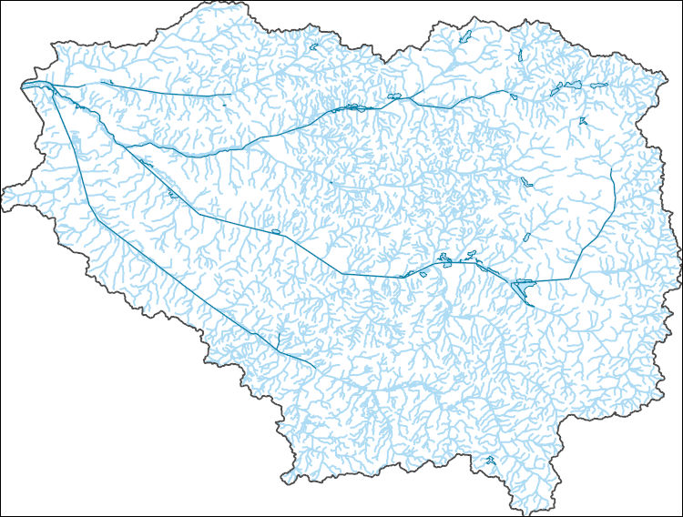
The National Hydrography Dataset (NHD) is a feature-based database that interconnects and uniquely identifies the stream segments or reaches that make up the nation's surface water drainage system. NHD data was originally developed at 1:100,000-scale and exists at that scale for the whole country. This high-resolution NHD, generally developed at 1:24,000/1:12,000 scale, adds detail to the original 1:100,000-scale NHD. (Data for Alaska, Puerto Rico and the Virgin Islands was developed at high-resolution, not 1:100,000 scale.) Local resolution NHD is being developed where partners and data exist. The NHD contains reach codes for networked features, flow direction, names, and centerline representations for areal water...
Tags: Administrative watershed units,
Administrative watershed units,
Area of Complex Channels,
Area to be submerged,
Basin, All tags...
Basin,
Bay/Inlet,
Boundaries,
Boundary,
Bridge,
Canal/Ditch,
Carroll,
Coastline,
Connector,
Dam/Weir,
Downloadable Data,
Drainage areas for surface water,
Drainageway,
Esri Shapefile nan,
Estuary,
Flow direction network,
Flume,
ForeShore,
Gaging Station,
Gate,
Gibson,
HU-8,
HU-8 Subbasin,
HU10,
HU12,
HU14,
HU16,
HU2,
HU4,
HU6,
HU8,
HU8_08010203,
HUC,
Hazard Zone,
Henderson,
Henry,
Hydrographic,
Hydrography,
Hydrography,
Hydrography,
Hydrologic Unit Code,
Hydrologic Units,
Ice mass,
Inundation Area,
Levee,
Line,
Lock Chamber,
Marsh,
National Hydrography Dataset (NHD),
National Hydrography Dataset (NHD) Best Resolution,
National Hydrography Dataset (NHD) Best Resolution,
Nonearthen Shore,
Obion,
Orthoimage,
Playa,
Point,
PointEvent,
Pond,
Rapids,
Rapids,
Reach,
Reach code,
Reef,
Region,
Reservoir,
Rock,
Sea/Ocean,
Shapefile,
Sink/Rise,
Sounding Datum Line,
Special Use Zone,
Special Use Zone Limit,
Spillway,
Stream,
Stream/River,
Sub-basin,
Sub-region,
Subbasin,
Submerged Stream,
Subregion,
Subwatershed,
Surface water systems,
Swamp,
TN,
Tennessee,
Topographic,
Tunnel,
US,
Underground Conduit,
United States,
WBD,
WBD,
Wall,
Wash,
Water Intake Outflow,
Waterfall,
Watershed,
Watershed Boundaries,
Watershed Boundary Dataset,
Watershed Boundary Dataset,
Weakley,
Well,
artificial path,
boundaries,
dams,
drainage systems and characteristics,
inlandWaters,
lakes,
ngda,
rivers, Fewer tags
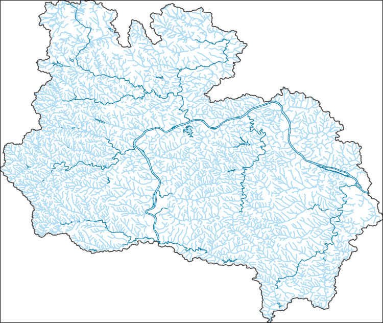
The National Hydrography Dataset (NHD) is a feature-based database that interconnects and uniquely identifies the stream segments or reaches that make up the nation's surface water drainage system. NHD data was originally developed at 1:100,000-scale and exists at that scale for the whole country. This high-resolution NHD, generally developed at 1:24,000/1:12,000 scale, adds detail to the original 1:100,000-scale NHD. (Data for Alaska, Puerto Rico and the Virgin Islands was developed at high-resolution, not 1:100,000 scale.) Local resolution NHD is being developed where partners and data exist. The NHD contains reach codes for networked features, flow direction, names, and centerline representations for areal water...
Tags: Administrative watershed units,
Administrative watershed units,
Allegheny,
Area of Complex Channels,
Area to be submerged, All tags...
Basin,
Basin,
Bay/Inlet,
Beaver,
Boundaries,
Boundary,
Bridge,
Brooke,
Butler,
Canal/Ditch,
Carroll,
Coastline,
Columbiana,
Connector,
Dam/Weir,
Downloadable Data,
Drainage areas for surface water,
Drainageway,
Estuary,
Flow direction network,
Flume,
ForeShore,
Gaging Station,
Gate,
GeoPackage,
HU-8,
HU-8 Subbasin,
HU10,
HU12,
HU14,
HU16,
HU2,
HU4,
HU6,
HU8,
HU8_05030101,
HUC,
Hancock,
Harrison,
Hazard Zone,
Hydrographic,
Hydrography,
Hydrography,
Hydrography,
Hydrologic Unit Code,
Hydrologic Units,
Ice mass,
Inundation Area,
Jefferson,
Lawrence,
Levee,
Line,
Lock Chamber,
Mahoning,
Marsh,
National Hydrography Dataset (NHD),
National Hydrography Dataset (NHD) Best Resolution,
National Hydrography Dataset (NHD) Best Resolution,
Nonearthen Shore,
OH,
Ohio,
Open Geospatial Consortium GeoPackage 1.2,
Orthoimage,
PA,
Pennsylvania,
Playa,
Point,
PointEvent,
Pond,
Rapids,
Rapids,
Reach,
Reach code,
Reef,
Region,
Reservoir,
Rock,
Sea/Ocean,
Sink/Rise,
Sounding Datum Line,
Special Use Zone,
Special Use Zone Limit,
Spillway,
Stream,
Stream/River,
Sub-basin,
Sub-region,
Subbasin,
Submerged Stream,
Subregion,
Subwatershed,
Surface water systems,
Swamp,
Topographic,
Tunnel,
US,
Underground Conduit,
United States,
WBD,
WBD,
WV,
Wall,
Wash,
Washington,
Water Intake Outflow,
Waterfall,
Watershed,
Watershed Boundaries,
Watershed Boundary Dataset,
Watershed Boundary Dataset,
Well,
West Virginia,
artificial path,
boundaries,
dams,
drainage systems and characteristics,
inlandWaters,
lakes,
ngda,
rivers, Fewer tags
The National Hydrography Dataset (NHD) is a feature-based database that interconnects and uniquely identifies the stream segments or reaches that make up the nation's surface water drainage system. NHD data was originally developed at 1:100,000-scale and exists at that scale for the whole country. This high-resolution NHD, generally developed at 1:24,000/1:12,000 scale, adds detail to the original 1:100,000-scale NHD. (Data for Alaska, Puerto Rico and the Virgin Islands was developed at high-resolution, not 1:100,000 scale.) Local resolution NHD is being developed where partners and data exist. The NHD contains reach codes for networked features, flow direction, names, and centerline representations for areal water...
Tags: Administrative watershed units,
Administrative watershed units,
Area of Complex Channels,
Area to be submerged,
Basin, All tags...
Basin,
Bay/Inlet,
Boundaries,
Boundary,
Bridge,
Buena Vista,
Canal/Ditch,
Carroll,
Coastline,
Connector,
Crawford,
Dam/Weir,
Downloadable Data,
Drainage areas for surface water,
Drainageway,
Esri File GeoDatabase 10,
Estuary,
FileGDB,
Flow direction network,
Flume,
ForeShore,
Gaging Station,
Gate,
HU-8,
HU-8 Subbasin,
HU10,
HU12,
HU14,
HU16,
HU2,
HU4,
HU6,
HU8,
HU8_10230007,
HUC,
Harrison,
Hazard Zone,
Hydrographic,
Hydrography,
Hydrography,
Hydrography,
Hydrologic Unit Code,
Hydrologic Units,
IA,
Ice mass,
Ida,
Inundation Area,
Iowa,
Levee,
Line,
Lock Chamber,
Marsh,
Monona,
National Hydrography Dataset (NHD),
National Hydrography Dataset (NHD) Best Resolution,
National Hydrography Dataset (NHD) Best Resolution,
Nonearthen Shore,
Orthoimage,
Playa,
Point,
PointEvent,
Pond,
Pottawattamie,
Rapids,
Rapids,
Reach,
Reach code,
Reef,
Region,
Reservoir,
Rock,
Sac,
Sea/Ocean,
Shelby,
Sink/Rise,
Sounding Datum Line,
Special Use Zone,
Special Use Zone Limit,
Spillway,
Stream,
Stream/River,
Sub-basin,
Sub-region,
Subbasin,
Submerged Stream,
Subregion,
Subwatershed,
Surface water systems,
Swamp,
Topographic,
Tunnel,
US,
Underground Conduit,
United States,
WBD,
WBD,
Wall,
Wash,
Water Intake Outflow,
Waterfall,
Watershed,
Watershed Boundaries,
Watershed Boundary Dataset,
Watershed Boundary Dataset,
Well,
artificial path,
boundaries,
dams,
drainage systems and characteristics,
inlandWaters,
lakes,
ngda,
rivers, Fewer tags

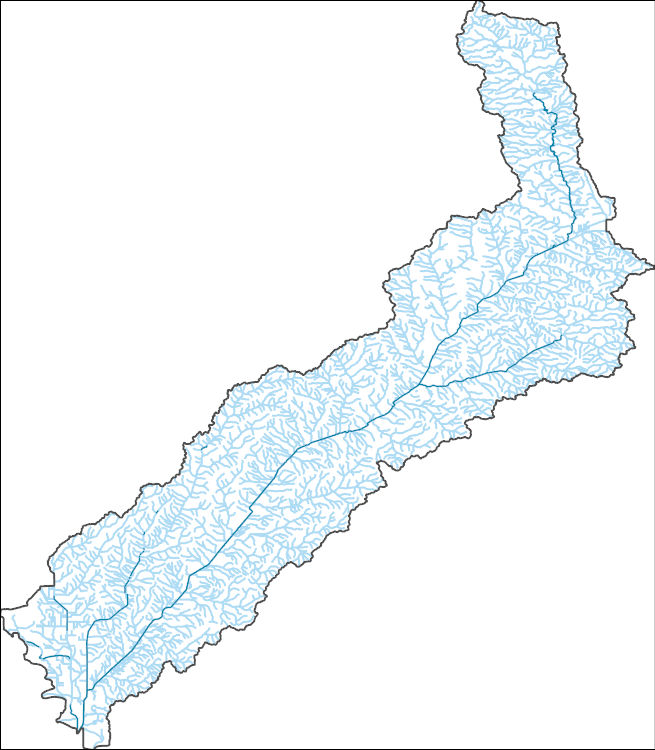
The National Hydrography Dataset (NHD) is a feature-based database that interconnects and uniquely identifies the stream segments or reaches that make up the nation's surface water drainage system. NHD data was originally developed at 1:100,000-scale and exists at that scale for the whole country. This high-resolution NHD, generally developed at 1:24,000/1:12,000 scale, adds detail to the original 1:100,000-scale NHD. (Data for Alaska, Puerto Rico and the Virgin Islands was developed at high-resolution, not 1:100,000 scale.) Local resolution NHD is being developed where partners and data exist. The NHD contains reach codes for networked features, flow direction, names, and centerline representations for areal water...
Tags: Adams,
Administrative watershed units,
Administrative watershed units,
Allen,
Area of Complex Channels, All tags...
Area to be submerged,
Ashland,
Ashtabula,
Athens,
Auglaize,
Basin,
Basin,
Bay/Inlet,
Belmont,
Boundaries,
Boundary,
Bridge,
Brown,
Butler,
Canal/Ditch,
Carroll,
Champaign,
Clark,
Clermont,
Clinton,
Coastline,
Columbiana,
Connector,
Coshocton,
Crawford,
Cuyahoga,
Dam/Weir,
Darke,
Defiance,
Delaware,
Downloadable Data,
Drainage areas for surface water,
Drainageway,
Erie,
Esri Shapefile nan,
Estuary,
Fairfield,
Fayette,
Flow direction network,
Flume,
ForeShore,
Franklin,
Fulton,
Gaging Station,
Gallia,
Gate,
Geauga,
Greene,
Guernsey,
HU10,
HU12,
HU14,
HU16,
HU2,
HU4,
HU6,
HU8,
HUC,
Hamilton,
Hancock,
Hardin,
Harrison,
Hazard Zone,
Henry,
Highland,
Hocking,
Holmes,
Huron,
Hydrographic,
Hydrography,
Hydrography,
Hydrography,
Hydrologic Unit Code,
Hydrologic Units,
Ice mass,
Inundation Area,
Jackson,
Jefferson,
Knox,
Lake,
Lawrence,
Levee,
Licking,
Line,
Lock Chamber,
Logan,
Lorain,
Lucas,
Madison,
Mahoning,
Marion,
Marsh,
Medina,
Meigs,
Mercer,
Miami,
Monroe,
Montgomery,
Morgan,
Morrow,
Muskingum,
National Hydrography Dataset (NHD),
National Hydrography Dataset (NHD) Best Resolution,
National Hydrography Dataset (NHD) Best Resolution,
Noble,
Nonearthen Shore,
OH,
Ohio,
Orthoimage,
Ottawa,
Paulding,
Perry,
Pickaway,
Pike,
Playa,
Point,
PointEvent,
Pond,
Portage,
Preble,
Putnam,
Rapids,
Rapids,
Reach,
Reach code,
Reef,
Region,
Reservoir,
Richland,
Rock,
Ross,
Sandusky,
Scioto,
Sea/Ocean,
Seneca,
Shapefile,
Shelby,
Sink/Rise,
Sounding Datum Line,
Special Use Zone,
Special Use Zone Limit,
Spillway,
Stark,
State,
State,
State_Ohio,
Stream,
Stream/River,
Sub-basin,
Sub-region,
Subbasin,
Submerged Stream,
Subregion,
Subwatershed,
Summit,
Surface water systems,
Swamp,
Topographic,
Trumbull,
Tunnel,
Tuscarawas,
US,
Underground Conduit,
Union,
United States,
Van Wert,
Vinton,
WBD,
WBD,
Wall,
Warren,
Wash,
Washington,
Water Intake Outflow,
Waterfall,
Watershed,
Watershed Boundaries,
Watershed Boundary Dataset,
Watershed Boundary Dataset,
Wayne,
Well,
Williams,
Wood,
Wyandot,
artificial path,
boundaries,
dams,
drainage systems and characteristics,
inlandWaters,
lakes,
ngda,
rivers, Fewer tags
The National Hydrography Dataset (NHD) is a feature-based database that interconnects and uniquely identifies the stream segments or reaches that make up the nation's surface water drainage system. NHD data was originally developed at 1:100,000-scale and exists at that scale for the whole country. This high-resolution NHD, generally developed at 1:24,000/1:12,000 scale, adds detail to the original 1:100,000-scale NHD. (Data for Alaska, Puerto Rico and the Virgin Islands was developed at high-resolution, not 1:100,000 scale.) Local resolution NHD is being developed where partners and data exist. The NHD contains reach codes for networked features, flow direction, names, and centerline representations for areal water...
Tags: Adams,
Administrative watershed units,
Administrative watershed units,
Allen,
Area of Complex Channels, All tags...
Area to be submerged,
Ashland,
Ashtabula,
Athens,
Auglaize,
Basin,
Basin,
Bay/Inlet,
Belmont,
Boundaries,
Boundary,
Bridge,
Brown,
Butler,
Canal/Ditch,
Carroll,
Champaign,
Clark,
Clermont,
Clinton,
Coastline,
Columbiana,
Connector,
Coshocton,
Crawford,
Cuyahoga,
Dam/Weir,
Darke,
Defiance,
Delaware,
Downloadable Data,
Drainage areas for surface water,
Drainageway,
Erie,
Estuary,
Fairfield,
Fayette,
Flow direction network,
Flume,
ForeShore,
Franklin,
Fulton,
Gaging Station,
Gallia,
Gate,
Geauga,
GeoPackage,
Greene,
Guernsey,
HU10,
HU12,
HU14,
HU16,
HU2,
HU4,
HU6,
HU8,
HUC,
Hamilton,
Hancock,
Hardin,
Harrison,
Hazard Zone,
Henry,
Highland,
Hocking,
Holmes,
Huron,
Hydrographic,
Hydrography,
Hydrography,
Hydrography,
Hydrologic Unit Code,
Hydrologic Units,
Ice mass,
Inundation Area,
Jackson,
Jefferson,
Knox,
Lake,
Lawrence,
Levee,
Licking,
Line,
Lock Chamber,
Logan,
Lorain,
Lucas,
Madison,
Mahoning,
Marion,
Marsh,
Medina,
Meigs,
Mercer,
Miami,
Monroe,
Montgomery,
Morgan,
Morrow,
Muskingum,
National Hydrography Dataset (NHD),
National Hydrography Dataset (NHD) Best Resolution,
National Hydrography Dataset (NHD) Best Resolution,
Noble,
Nonearthen Shore,
OH,
Ohio,
Open Geospatial Consortium GeoPackage 1.2,
Orthoimage,
Ottawa,
Paulding,
Perry,
Pickaway,
Pike,
Playa,
Point,
PointEvent,
Pond,
Portage,
Preble,
Putnam,
Rapids,
Rapids,
Reach,
Reach code,
Reef,
Region,
Reservoir,
Richland,
Rock,
Ross,
Sandusky,
Scioto,
Sea/Ocean,
Seneca,
Shelby,
Sink/Rise,
Sounding Datum Line,
Special Use Zone,
Special Use Zone Limit,
Spillway,
Stark,
State,
State,
State_Ohio,
Stream,
Stream/River,
Sub-basin,
Sub-region,
Subbasin,
Submerged Stream,
Subregion,
Subwatershed,
Summit,
Surface water systems,
Swamp,
Topographic,
Trumbull,
Tunnel,
Tuscarawas,
US,
Underground Conduit,
Union,
United States,
Van Wert,
Vinton,
WBD,
WBD,
Wall,
Warren,
Wash,
Washington,
Water Intake Outflow,
Waterfall,
Watershed,
Watershed Boundaries,
Watershed Boundary Dataset,
Watershed Boundary Dataset,
Wayne,
Well,
Williams,
Wood,
Wyandot,
artificial path,
boundaries,
dams,
drainage systems and characteristics,
inlandWaters,
lakes,
ngda,
rivers, Fewer tags
The National Hydrography Dataset (NHD) is a feature-based database that interconnects and uniquely identifies the stream segments or reaches that make up the nation's surface water drainage system. NHD data was originally developed at 1:100,000-scale and exists at that scale for the whole country. This high-resolution NHD, generally developed at 1:24,000/1:12,000 scale, adds detail to the original 1:100,000-scale NHD. (Data for Alaska, Puerto Rico and the Virgin Islands was developed at high-resolution, not 1:100,000 scale.) Local resolution NHD is being developed where partners and data exist. The NHD contains reach codes for networked features, flow direction, names, and centerline representations for areal water...
Tags: Adams,
Administrative watershed units,
Administrative watershed units,
Alcorn,
Amite, All tags...
Area of Complex Channels,
Area to be submerged,
Attala,
Basin,
Basin,
Bay/Inlet,
Benton,
Bolivar,
Boundaries,
Boundary,
Bridge,
Calhoun,
Canal/Ditch,
Carroll,
Chickasaw,
Choctaw,
Claiborne,
Clarke,
Clay,
Coahoma,
Coastline,
Connector,
Copiah,
Covington,
Dam/Weir,
DeSoto,
Downloadable Data,
Drainage areas for surface water,
Drainageway,
Estuary,
Flow direction network,
Flume,
ForeShore,
Forrest,
Franklin,
Gaging Station,
Gate,
GeoPackage,
George,
Greene,
Grenada,
HU10,
HU12,
HU14,
HU16,
HU2,
HU4,
HU6,
HU8,
HUC,
Hancock,
Harrison,
Hazard Zone,
Hinds,
Holmes,
Humphreys,
Hydrographic,
Hydrography,
Hydrography,
Hydrography,
Hydrologic Unit Code,
Hydrologic Units,
Ice mass,
Inundation Area,
Issaquena,
Itawamba,
Jackson,
Jasper,
Jefferson,
Jefferson Davis,
Jones,
Kemper,
Lafayette,
Lamar,
Lauderdale,
Lawrence,
Leake,
Lee,
Leflore,
Levee,
Lincoln,
Line,
Lock Chamber,
Lowndes,
MS,
Madison,
Marion,
Marsh,
Marshall,
Mississippi,
Monroe,
Montgomery,
National Hydrography Dataset (NHD),
National Hydrography Dataset (NHD) Best Resolution,
National Hydrography Dataset (NHD) Best Resolution,
Neshoba,
Newton,
Nonearthen Shore,
Noxubee,
Oktibbeha,
Open Geospatial Consortium GeoPackage 1.2,
Orthoimage,
Panola,
Pearl River,
Perry,
Pike,
Playa,
Point,
PointEvent,
Pond,
Pontotoc,
Prentiss,
Quitman,
Rankin,
Rapids,
Rapids,
Reach,
Reach code,
Reef,
Region,
Reservoir,
Rock,
Scott,
Sea/Ocean,
Sharkey,
Simpson,
Sink/Rise,
Smith,
Sounding Datum Line,
Special Use Zone,
Special Use Zone Limit,
Spillway,
State,
State,
State_Mississippi,
Stone,
Stream,
Stream/River,
Sub-basin,
Sub-region,
Subbasin,
Submerged Stream,
Subregion,
Subwatershed,
Sunflower,
Surface water systems,
Swamp,
Tallahatchie,
Tate,
Tippah,
Tishomingo,
Topographic,
Tunica,
Tunnel,
US,
Underground Conduit,
Union,
United States,
WBD,
WBD,
Wall,
Walthall,
Warren,
Wash,
Washington,
Water Intake Outflow,
Waterfall,
Watershed,
Watershed Boundaries,
Watershed Boundary Dataset,
Watershed Boundary Dataset,
Wayne,
Webster,
Well,
Wilkinson,
Winston,
Yalobusha,
Yazoo,
artificial path,
boundaries,
dams,
drainage systems and characteristics,
inlandWaters,
lakes,
ngda,
rivers, Fewer tags
The National Hydrography Dataset (NHD) is a feature-based database that interconnects and uniquely identifies the stream segments or reaches that make up the nation's surface water drainage system. NHD data was originally developed at 1:100,000-scale and exists at that scale for the whole country. This high-resolution NHD, generally developed at 1:24,000/1:12,000 scale, adds detail to the original 1:100,000-scale NHD. (Data for Alaska, Puerto Rico and the Virgin Islands was developed at high-resolution, not 1:100,000 scale.) Local resolution NHD is being developed where partners and data exist. The NHD contains reach codes for networked features, flow direction, names, and centerline representations for areal water...
Tags: Administrative watershed units,
Administrative watershed units,
Anderson,
Area of Complex Channels,
Area to be submerged, All tags...
Basin,
Basin,
Bay/Inlet,
Bedford,
Benton,
Bledsoe,
Blount,
Boundaries,
Boundary,
Bradley,
Bridge,
Campbell,
Canal/Ditch,
Cannon,
Carroll,
Carter,
Cheatham,
Chester,
Claiborne,
Clay,
Coastline,
Cocke,
Coffee,
Connector,
Crockett,
Cumberland,
Dam/Weir,
Davidson,
DeKalb,
Decatur,
Dickson,
Downloadable Data,
Drainage areas for surface water,
Drainageway,
Dyer,
Estuary,
Fayette,
Fentress,
Flow direction network,
Flume,
ForeShore,
Franklin,
Gaging Station,
Gate,
GeoPackage,
Gibson,
Giles,
Grainger,
Greene,
Grundy,
HU10,
HU12,
HU14,
HU16,
HU2,
HU4,
HU6,
HU8,
HUC,
Hamblen,
Hamilton,
Hancock,
Hardeman,
Hardin,
Hawkins,
Haywood,
Hazard Zone,
Henderson,
Henry,
Hickman,
Houston,
Humphreys,
Hydrographic,
Hydrography,
Hydrography,
Hydrography,
Hydrologic Unit Code,
Hydrologic Units,
Ice mass,
Inundation Area,
Jackson,
Jefferson,
Johnson,
Knox,
Lake,
Lauderdale,
Lawrence,
Levee,
Lewis,
Lincoln,
Line,
Lock Chamber,
Loudon,
Macon,
Madison,
Marion,
Marsh,
Marshall,
Maury,
McMinn,
McNairy,
Meigs,
Monroe,
Montgomery,
Moore,
Morgan,
National Hydrography Dataset (NHD),
National Hydrography Dataset (NHD) Best Resolution,
National Hydrography Dataset (NHD) Best Resolution,
Nonearthen Shore,
Obion,
Open Geospatial Consortium GeoPackage 1.2,
Orthoimage,
Overton,
Perry,
Pickett,
Playa,
Point,
PointEvent,
Polk,
Pond,
Putnam,
Rapids,
Rapids,
Reach,
Reach code,
Reef,
Region,
Reservoir,
Rhea,
Roane,
Robertson,
Rock,
Rutherford,
Scott,
Sea/Ocean,
Sequatchie,
Sevier,
Shelby,
Sink/Rise,
Smith,
Sounding Datum Line,
Special Use Zone,
Special Use Zone Limit,
Spillway,
State,
State,
State_Tennessee,
Stewart,
Stream,
Stream/River,
Sub-basin,
Sub-region,
Subbasin,
Submerged Stream,
Subregion,
Subwatershed,
Sullivan,
Sumner,
Surface water systems,
Swamp,
TN,
Tennessee,
Tipton,
Topographic,
Trousdale,
Tunnel,
US,
Underground Conduit,
Unicoi,
Union,
United States,
Van Buren,
WBD,
WBD,
Wall,
Warren,
Wash,
Washington,
Water Intake Outflow,
Waterfall,
Watershed,
Watershed Boundaries,
Watershed Boundary Dataset,
Watershed Boundary Dataset,
Wayne,
Weakley,
Well,
White,
Williamson,
Wilson,
artificial path,
boundaries,
dams,
drainage systems and characteristics,
inlandWaters,
lakes,
ngda,
rivers, Fewer tags
The National Hydrography Dataset (NHD) is a feature-based database that interconnects and uniquely identifies the stream segments or reaches that make up the nation's surface water drainage system. NHD data was originally developed at 1:100,000-scale and exists at that scale for the whole country. This high-resolution NHD, generally developed at 1:24,000/1:12,000 scale, adds detail to the original 1:100,000-scale NHD. (Data for Alaska, Puerto Rico and the Virgin Islands was developed at high-resolution, not 1:100,000 scale.) Local resolution NHD is being developed where partners and data exist. The NHD contains reach codes for networked features, flow direction, names, and centerline representations for areal water...
Tags: AR,
Administrative watershed units,
Administrative watershed units,
Area of Complex Channels,
Area to be submerged, All tags...
Arkansas,
Arkansas,
Ashley,
Basin,
Basin,
Baxter,
Bay/Inlet,
Benton,
Boone,
Boundaries,
Boundary,
Bradley,
Bridge,
Calhoun,
Canal/Ditch,
Carroll,
Chicot,
Clark,
Clay,
Cleburne,
Cleveland,
Coastline,
Columbia,
Connector,
Conway,
Craighead,
Crawford,
Crittenden,
Cross,
Dallas,
Dam/Weir,
Desha,
Downloadable Data,
Drainage areas for surface water,
Drainageway,
Drew,
Esri Shapefile nan,
Estuary,
Faulkner,
Flow direction network,
Flume,
ForeShore,
Franklin,
Fulton,
Gaging Station,
Garland,
Gate,
Grant,
Greene,
HU10,
HU12,
HU14,
HU16,
HU2,
HU4,
HU6,
HU8,
HUC,
Hazard Zone,
Hempstead,
Hot Spring,
Howard,
Hydrographic,
Hydrography,
Hydrography,
Hydrography,
Hydrologic Unit Code,
Hydrologic Units,
Ice mass,
Independence,
Inundation Area,
Izard,
Jackson,
Jefferson,
Johnson,
Lafayette,
Lawrence,
Lee,
Levee,
Lincoln,
Line,
Little River,
Lock Chamber,
Logan,
Lonoke,
Madison,
Marion,
Marsh,
Miller,
Mississippi,
Monroe,
Montgomery,
National Hydrography Dataset (NHD),
National Hydrography Dataset (NHD) Best Resolution,
National Hydrography Dataset (NHD) Best Resolution,
Nevada,
Newton,
Nonearthen Shore,
Orthoimage,
Ouachita,
Perry,
Phillips,
Pike,
Playa,
Poinsett,
Point,
PointEvent,
Polk,
Pond,
Pope,
Prairie,
Pulaski,
Randolph,
Rapids,
Rapids,
Reach,
Reach code,
Reef,
Region,
Reservoir,
Rock,
Saline,
Scott,
Sea/Ocean,
Searcy,
Sebastian,
Sevier,
Shapefile,
Sharp,
Sink/Rise,
Sounding Datum Line,
Special Use Zone,
Special Use Zone Limit,
Spillway,
St. Francis,
State,
State,
State_Arkansas,
Stone,
Stream,
Stream/River,
Sub-basin,
Sub-region,
Subbasin,
Submerged Stream,
Subregion,
Subwatershed,
Surface water systems,
Swamp,
Topographic,
Tunnel,
US,
Underground Conduit,
Union,
United States,
Van Buren,
WBD,
WBD,
Wall,
Wash,
Washington,
Water Intake Outflow,
Waterfall,
Watershed,
Watershed Boundaries,
Watershed Boundary Dataset,
Watershed Boundary Dataset,
Well,
White,
Woodruff,
Yell,
artificial path,
boundaries,
dams,
drainage systems and characteristics,
inlandWaters,
lakes,
ngda,
rivers, Fewer tags
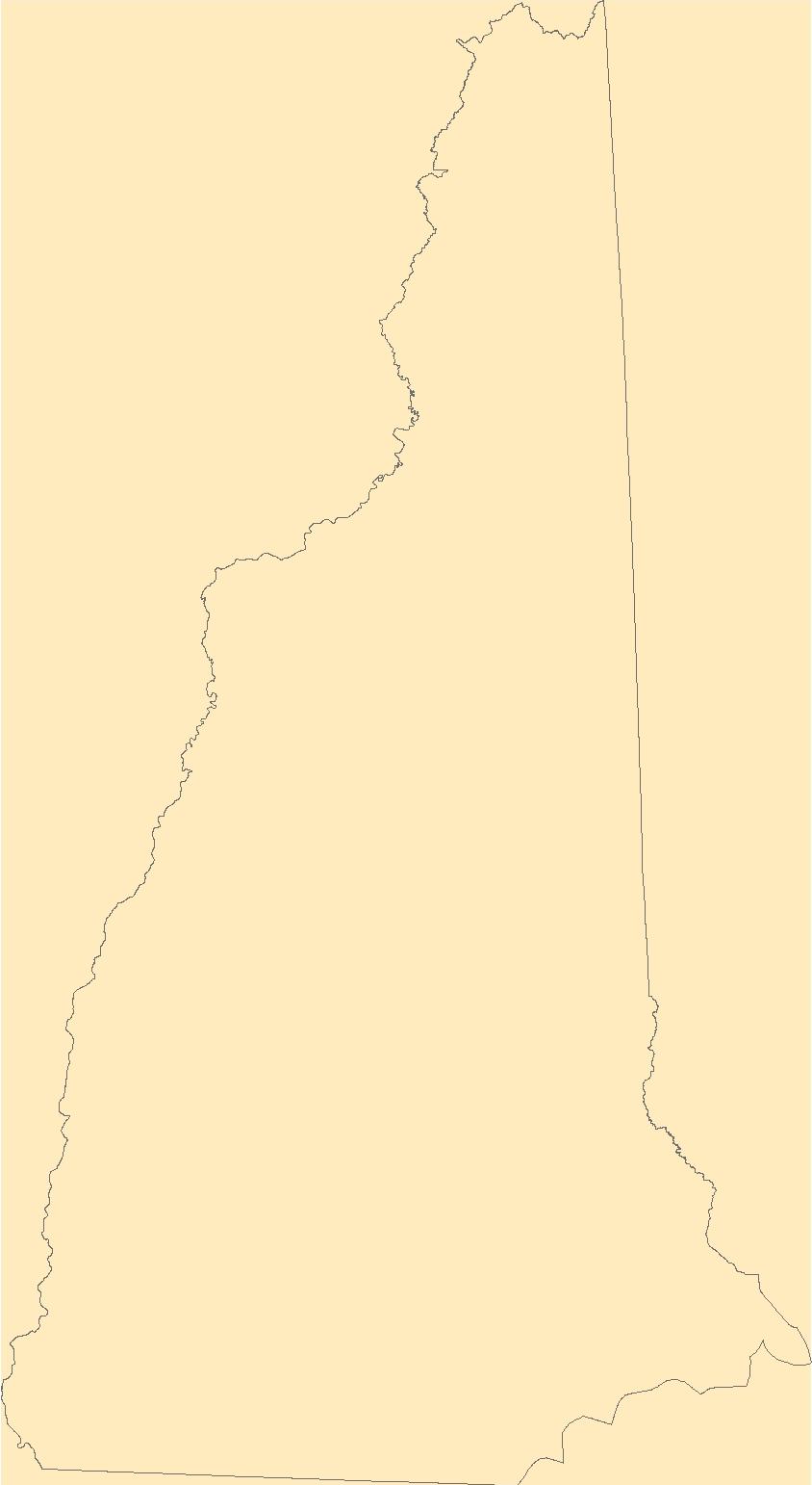
Layers of geospatial data include contours, boundaries, land cover, hydrography, roads, transportation, geographic names, structures, and other selected map features.
Types: Citation;
Tags: 7.5 x 7.5 minute,
7_5_Min,
Belknap,
Carroll,
Combined Vector, All tags...
Combined Vector,
Combined Vector,
Downloadable Data,
Esri File GeoDatabase 10,
FileGDB,
Grafton,
NH,
New Hampshire,
Public Land Survey System,
Topo Map Vector Data,
US,
United States,
boundary,
contours,
geographic names,
hydrography,
structures,
transportation,
woodland, Fewer tags
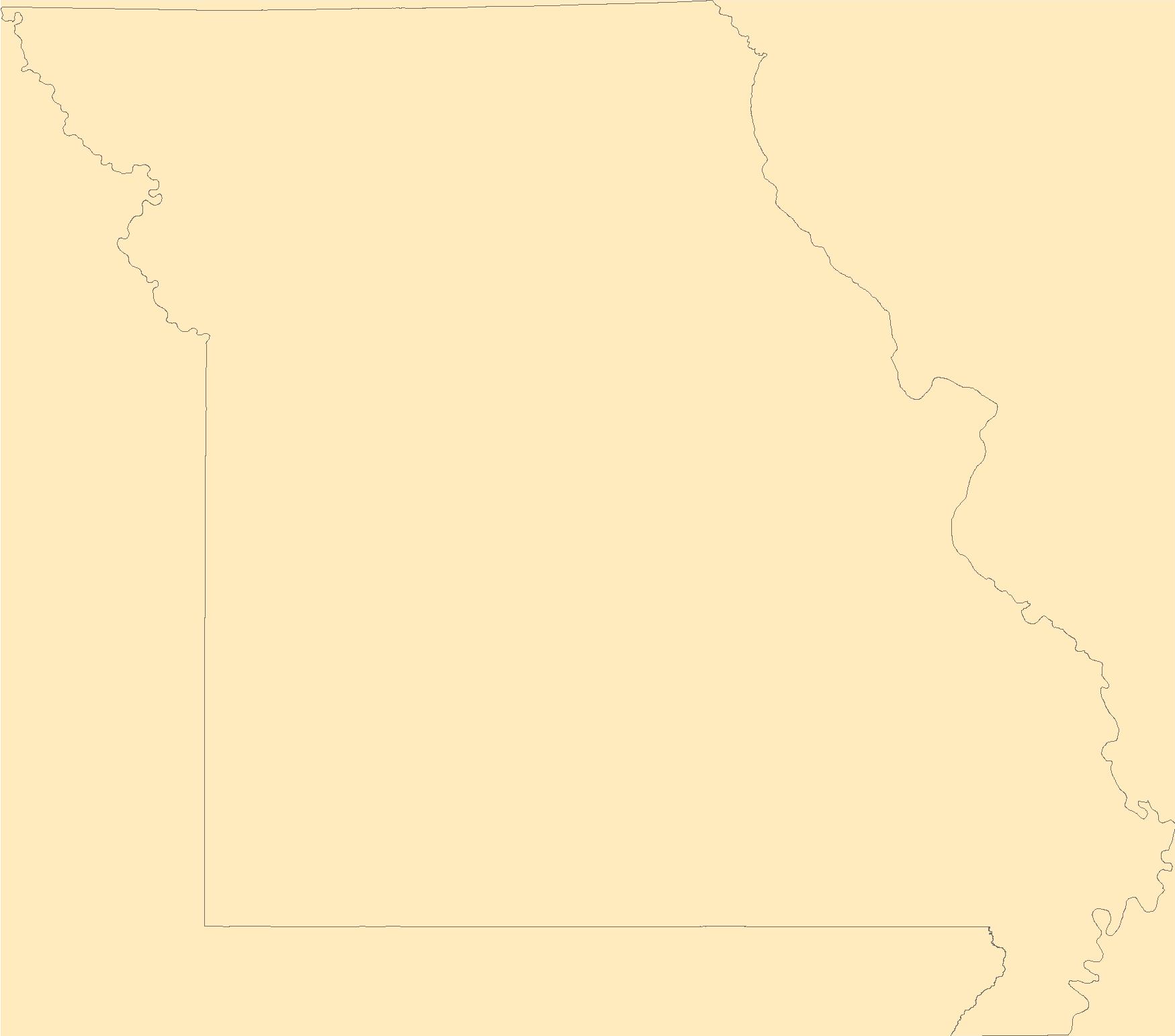
The Geographic Names Information System (GNIS) is the Federal standard for geographic nomenclature. The U.S. Geological Survey developed the GNIS for the U.S. Board on Geographic Names, a Federal inter-agency body chartered by public law to maintain uniform feature name usage throughout the Government and to promulgate standard names to the public. The GNIS is the official repository of domestic geographic names data; the official vehicle for geographic names use by all departments of the Federal Government; and the source for applying geographic names to Federal electronic and printed products of all types.
Tags: Adair,
Andrew,
Antarctica,
Antarctica,
Atchison, All tags...
Audrain,
BGN,
Barry,
Barton,
Bates,
Benton,
Board on Geographic Names,
Bollinger,
Boone,
Borough,
Buchanan,
Butler,
Caldwell,
Callaway,
Camden,
Cape Girardeau,
Carroll,
Carter,
Cass,
Cedar,
Census Area,
Chariton,
Christian,
Clark,
Clay,
Clinton,
Cole,
Commonwealth,
Cooper,
County,
Crawford,
Dade,
Dallas,
Daviess,
DeKalb,
Dent,
District,
Douglas,
Downloadable Data,
Dunklin,
Feature class,
Feature coordinates,
Feature county,
Feature description,
Feature designation,
Feature history,
Feature indentification,
Feature name,
Feature state,
Franklin,
GNIS,
Gasconade,
Gentry,
Geographic Names,
Geographic Names Federal Codes,
Geographic Names Information System,
Geographic feature,
Geographic name,
Geographical feature,
Geographical name,
Greene,
Grundy,
Harrison,
Henry,
Hickory,
Holt,
Howard,
Howell,
Iron,
Jackson,
Jasper,
Jefferson,
Johnson,
Knox,
Laclede,
Lafayette,
Lawrence,
Lewis,
Lincoln,
Linn,
Livingston,
MO,
Macon,
Madison,
Maries,
Marion,
McDonald,
Mercer,
Miller,
Mississippi,
Missouri,
Moniteau,
Monroe,
Montgomery,
Morgan,
Municipio,
National Geographic Names Information System (GNIS),
National Geographic Names Information System (GNIS),
New Madrid,
Newton,
Nodaway,
Official feature name,
Oregon,
Osage,
Outlying Area,
Ozark,
Parish,
Pemiscot,
Perry,
Pettis,
Phelps,
Pike,
Place name,
Platte,
Polk,
Populated Place,
Pulaski,
Putnam,
Ralls,
Randolph,
Ray,
Reynolds,
Ripley,
Saline,
Schuyler,
Scotland,
Scott,
Shannon,
Shelby,
St. Charles,
St. Clair,
St. Francois,
St. Louis,
State,
Ste. Genevieve,
Stoddard,
Stone,
Sullivan,
TXT (pipes),
Taney,
Territories,
Territory,
Texas,
Topographic Map,
U.S. Board on Geographic Names,
U.S. Geological Survey,
US,
USA,
USBGN,
USGS,
UTF-8 Pipe Delimited Text File nan,
United States,
United States,
United States,
Variant name,
Vernon,
Warren,
Washington,
Wayne,
Webster,
Worth,
Wright,
antarctic,
database,
economy,
environment,
feature,
gazetteer,
geographic,
geographic names,
geographical,
geography,
geospatial,
imageryBaseMapsEarthCover,
inlandWaters,
location,
map,
name,
place,
placename,
society,
structure,
topographic map,
toponymy, Fewer tags
The Geographic Names Information System (GNIS) is the Federal standard for geographic nomenclature. The U.S. Geological Survey developed the GNIS for the U.S. Board on Geographic Names, a Federal inter-agency body chartered by public law to maintain uniform feature name usage throughout the Government and to promulgate standard names to the public. The GNIS is the official repository of domestic geographic names data; the official vehicle for geographic names use by all departments of the Federal Government; and the source for applying geographic names to Federal electronic and printed products of all types.
Tags: Antarctica,
Antarctica,
BGN,
Belknap,
Board on Geographic Names, All tags...
Borough,
Carroll,
Census Area,
Cheshire,
Commonwealth,
Coos,
County,
District,
Downloadable Data,
Feature class,
Feature coordinates,
Feature county,
Feature description,
Feature designation,
Feature history,
Feature indentification,
Feature name,
Feature state,
GNIS,
Geographic Names,
Geographic Names Federal Codes,
Geographic Names Information System,
Geographic feature,
Geographic name,
Geographical feature,
Geographical name,
Grafton,
Hillsborough,
Merrimack,
Municipio,
NH,
National Geographic Names Information System (GNIS),
National Geographic Names Information System (GNIS),
New Hampshire,
Official feature name,
Outlying Area,
Parish,
Place name,
Populated Place,
Rockingham,
State,
Strafford,
Sullivan,
TXT (pipes),
Territories,
Territory,
Topographic Map,
U.S. Board on Geographic Names,
U.S. Geological Survey,
US,
USA,
USBGN,
USGS,
UTF-8 Pipe Delimited Text File nan,
United States,
United States,
United States,
Variant name,
antarctic,
database,
economy,
environment,
feature,
gazetteer,
geographic,
geographic names,
geographical,
geography,
geospatial,
imageryBaseMapsEarthCover,
inlandWaters,
location,
map,
name,
place,
placename,
society,
structure,
topographic map,
toponymy, Fewer tags
|
|

